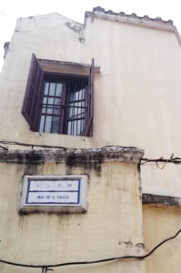
Sam Shing of Tuen Mun is known for its seafood. It is a pretty popular place and people come from all over Hong Kong to have a proper seafood dinner. My parents live in Tuen Mun and so we also go to Sam Shing’s seafood market for special celebratory occasions.
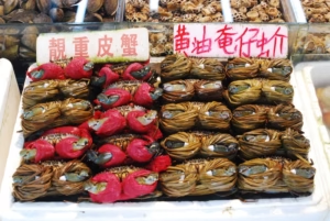
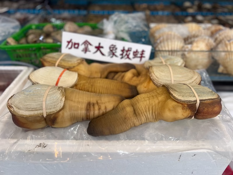
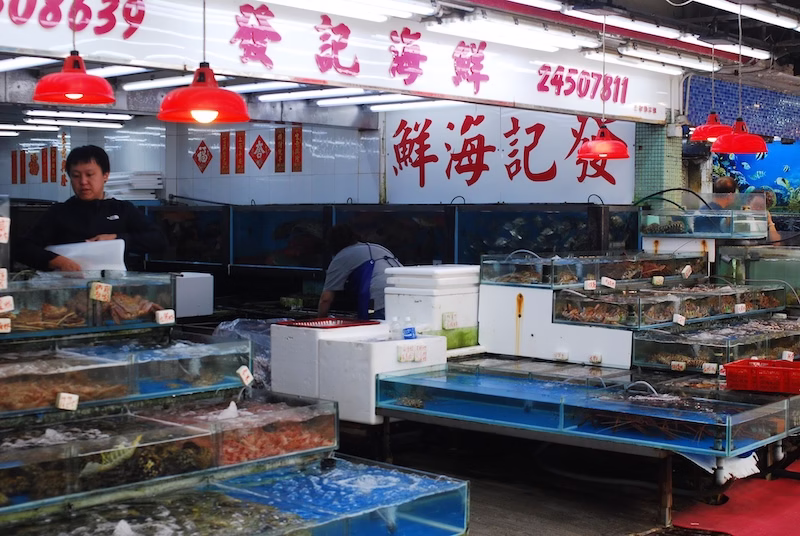
A few features define what is considered a “proper seafood dinner” in Hong Kong. The local diners first purchase the seafood from the seafood vendors and then take the seafood over for cooking at the restaurants. That is the case in seafood hotspots like Lei Yue Mun, Sai Kung and Sam Shing, all of which are former fishermen’s villages. This way, people are assured the quality of the seafood (because they do tend to be expensive, in off-the-tank prices).
Seafood prices in Hong Kong fluctuate by the day. As such, when you go to common restaurants and order seafood, they usually label the price as “seasonal.” From this practice, the term “seafood price” comes to refer to anything that is costly and the price is uncertain in Hong Kong Cantonese.
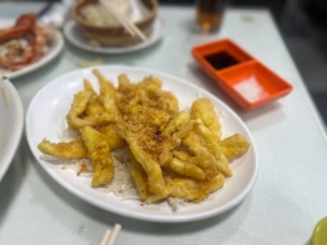
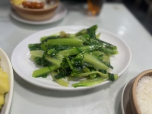
The restaurant will charge a cooking fee. They also serve some run of the mill dishes like sweet and sour pork and wok fried seasonal greens.
My research for this seafood fiesta I have with my parents returned something surprisingly interesting. Sam Shing has a pretty good story being an actual marketplace for the seafood trade in the past.
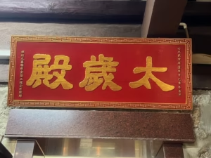
This area has been known as Sam Shing (meaning three saints, see Sam Shing Temple below) since the Sam Shing Temple was established. Before then, the southern shore of Tuen Mun is called Castle Peak Bay. It was a vibrant community of fishermen.
Although Sam Shing has had a sea change due to the Hong Kong Government’s development objective in the 1970s, a few things remain to this day. The marketplace features about ten seafood vendors, perhaps quite a bit smaller in scale than in the past. But in today’s terms it is certainly plenty of choices for diners. There are still fishing boats docking at the promenade area, and at least some of them still supply a small amount of seafood to the seafood vendors.
A Leisurely Walk to See Sam Shing
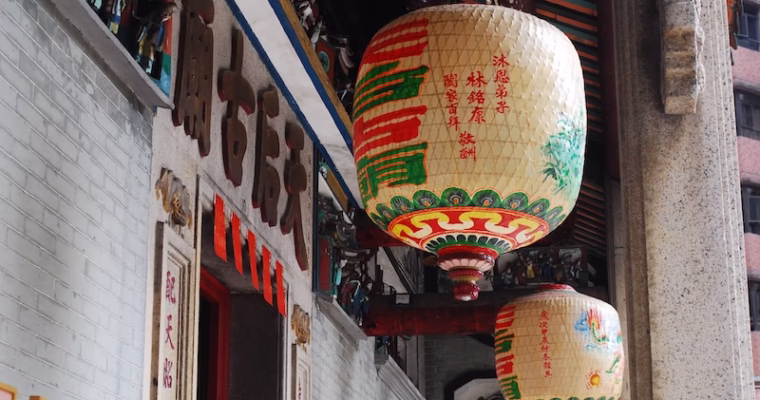
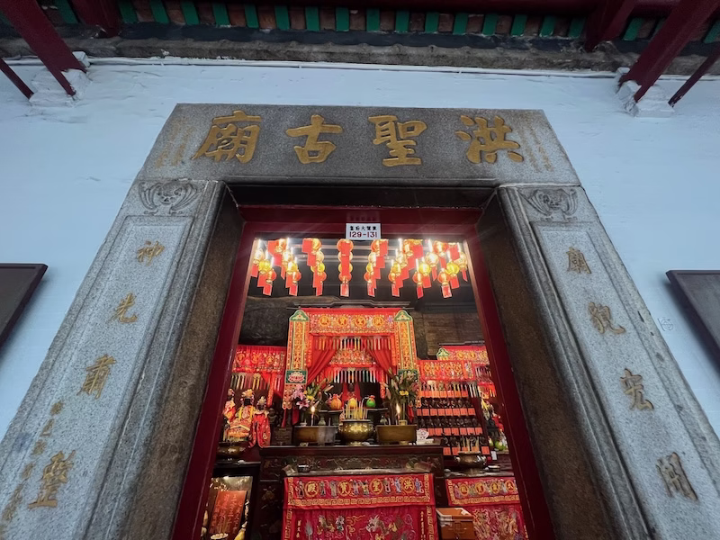
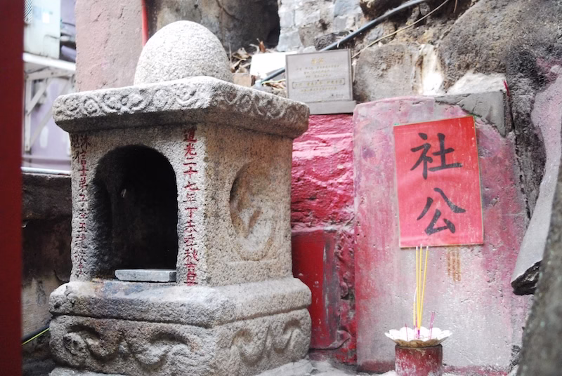
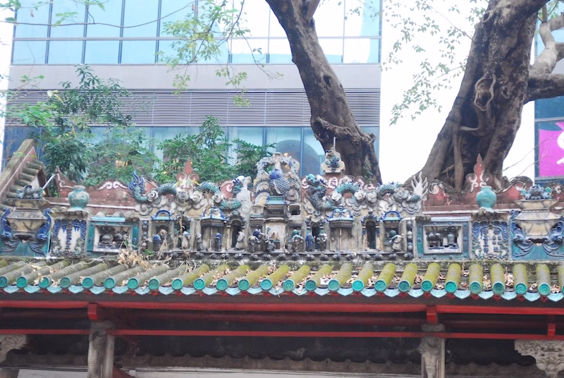
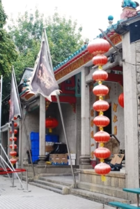
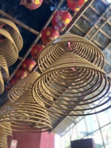
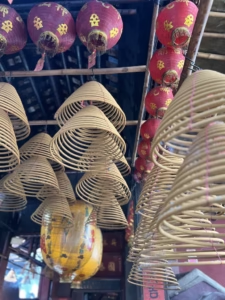
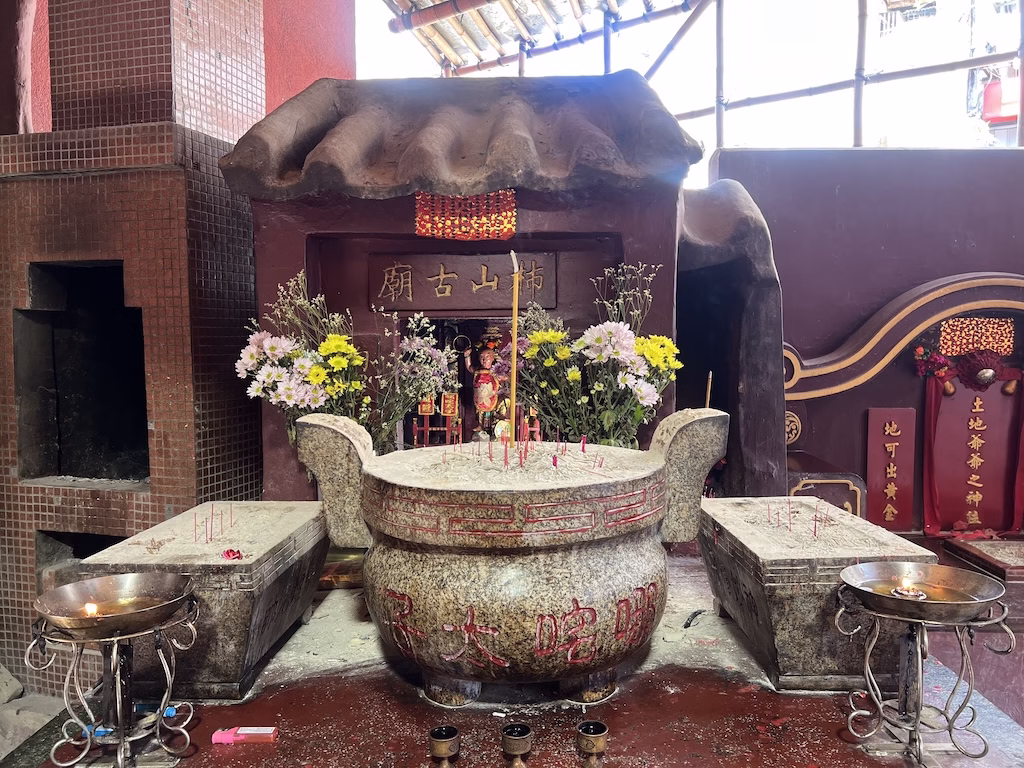
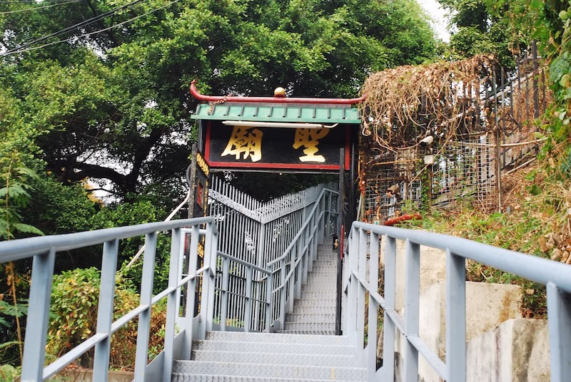
The Sam Shing Temple
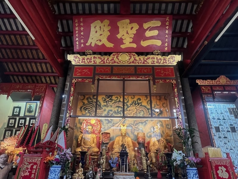
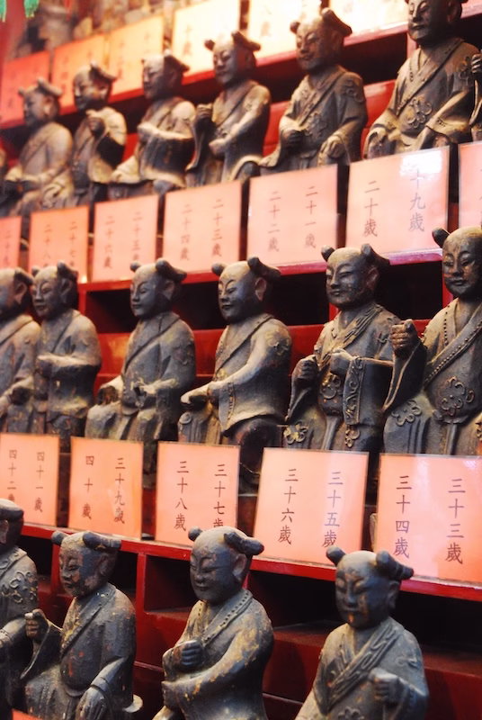
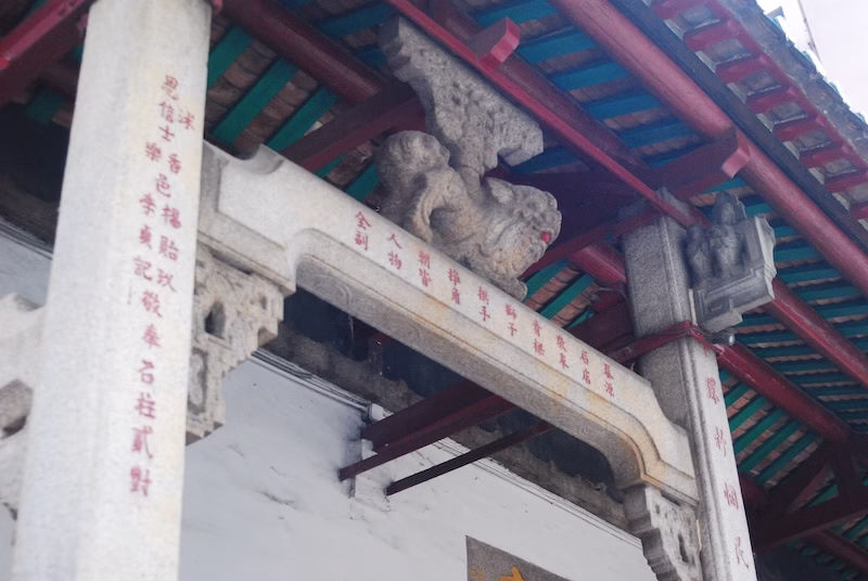
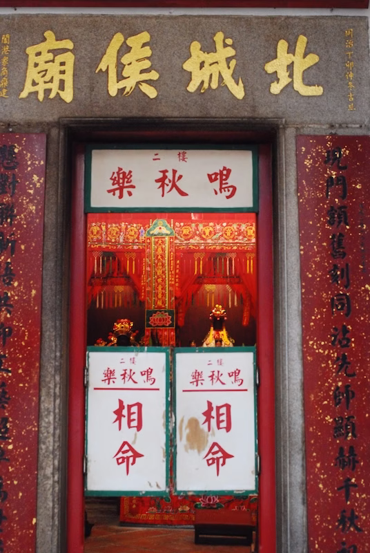
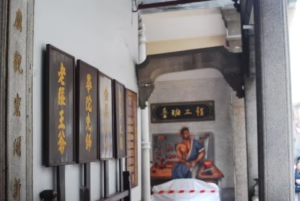
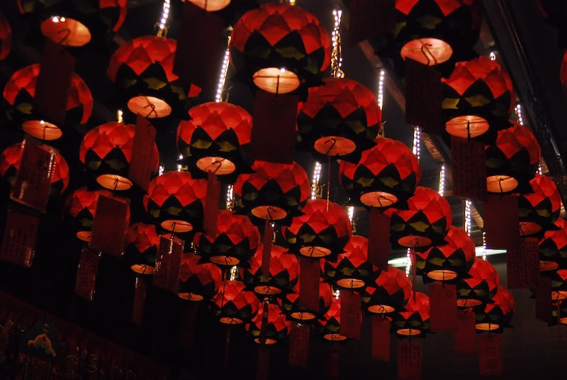
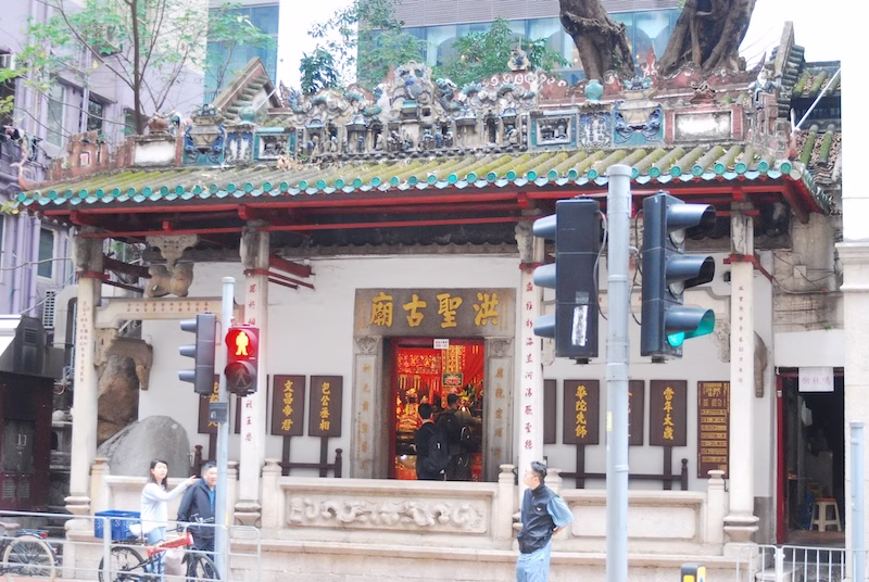
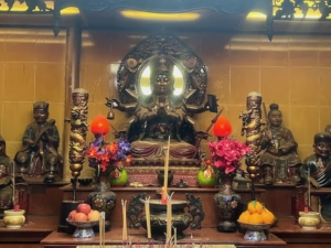
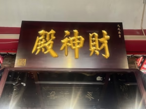
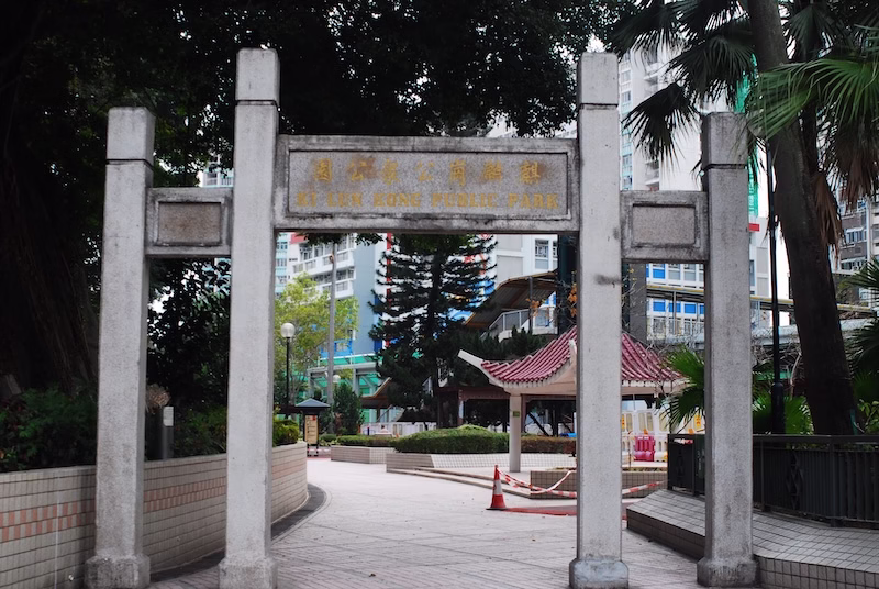
The Sam Shing Temple stands on a small hill in the Sam Shing area, next to Ki Lun Kong. It was the result of the shipping industry pulling funds together to care for the spiritual needs of Castle Peak Bay residents in 1914. Construction of the temple completed in 1921.
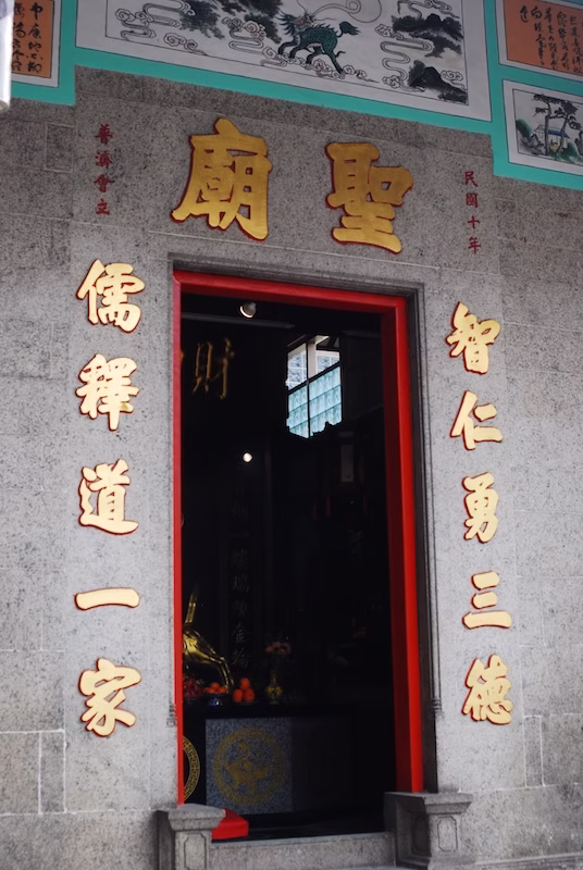
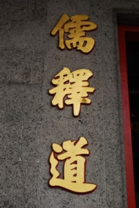
It is quite unusual that the resident deities for a former fishermen’s community to be the three learned saints (although there is a Tin Hau Temple close to the Ki Lun Kong Public Park as well). Ru, meaning the Confucian School, is the scholarship that lays the foundation of Chinese culture, in particular in the learning of virtues.
Xi refers to Siddhartha Gautama (the Buddha), whose teaching as spread to China forms the core of Chinese Buddhism. Dao, as in Taoism, combines philosophy with religion, and a colorful touch of folkloric tales concerning wars between good and evil.
These three schools of thought are traditionally considered to be the interwoven strands of China’s cultural fabric, certainly no less in Hong Kong, especially in the rural communities that remained culturally unmoved by colonial influence.
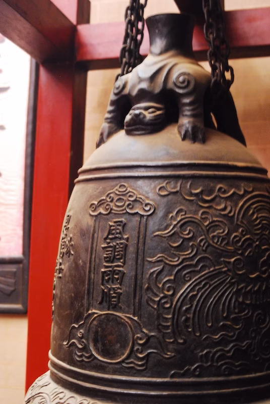
Fast forward to the times of the Japanese Occupation between 1941 and 1945. At the time, the Japanese wanted to collect brass to make weapons. Legend has it that the Japanese tried to remove the brass bell from the temple and the Japanese solders could not move it at all. The faithful followers of the temple called it a miracle as the three ancient sages manifested their presence against the Japanese.
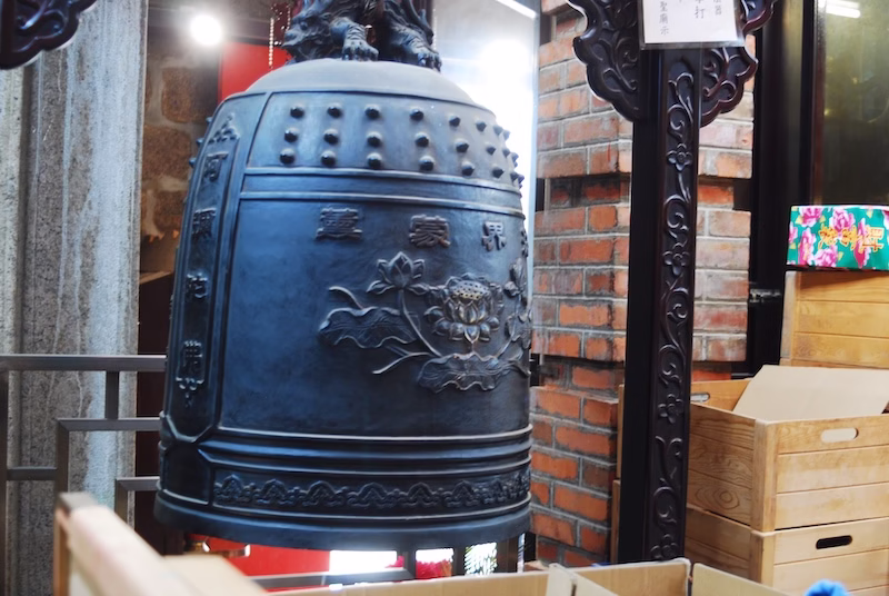
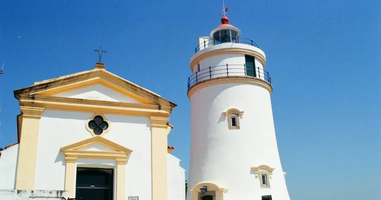
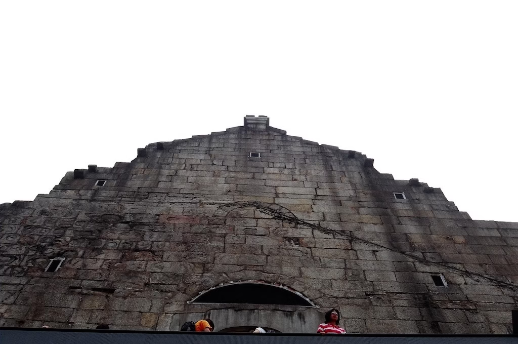
The Sam Shing Temple is a Grade 2 Historic Building.
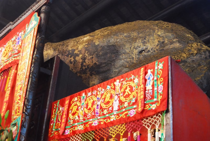
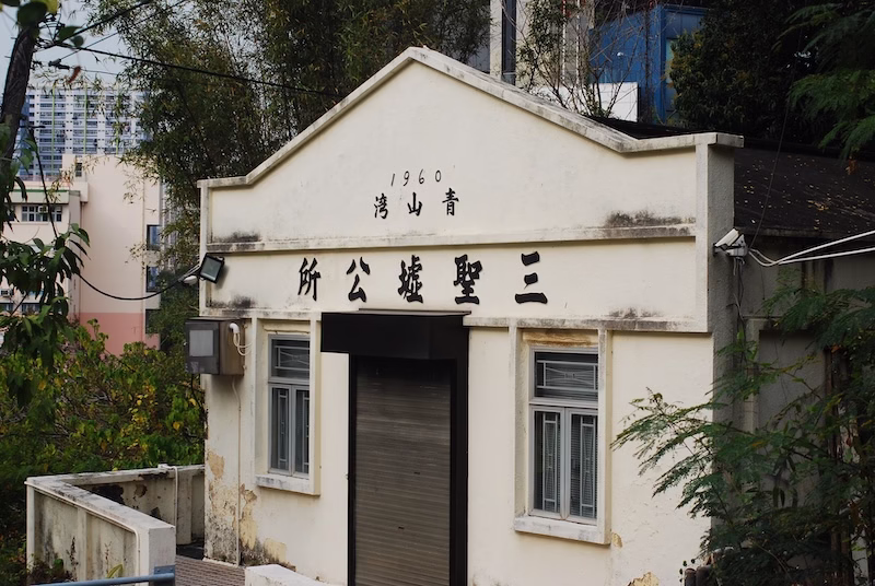
The Sam Shing Boundary Rock
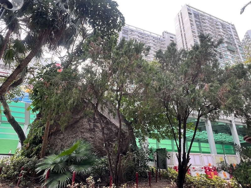
The Sam Shing Boundary Rock is located inside the Kei Lun Kong Public Park. After the Hong Kong Government finalized the plans to develop Tuen Mun as a new town, a part of the Castle Peak Bay was reclaimed. The shoreline was extended from what is now the Castle Peak Road to the Sam Shing Estate. The Boundary Rock (a rather large piece of rock indeed) was established to commemorate the former shoreline, right by the Castle Peak Road.
It is also said that the Sam Shing Boundary Rock possesses spiritual power. At the time of the land reclamation, there were many rocks in this part of the shore. People removed the others, but time after time, something happened right before the plans to blow up this rock for removal. Some workers would get sick, or some tragedy befell the government official that insisted on blowing up the rock. Some workers also saw red liquid flowing out from the rock. Eventually, with petition by the locals, the government no longer insisted on removing this rock. The Castle Peak Road, which was then the only throughway between Tuen Mun and Kowloon, had to be built around it.
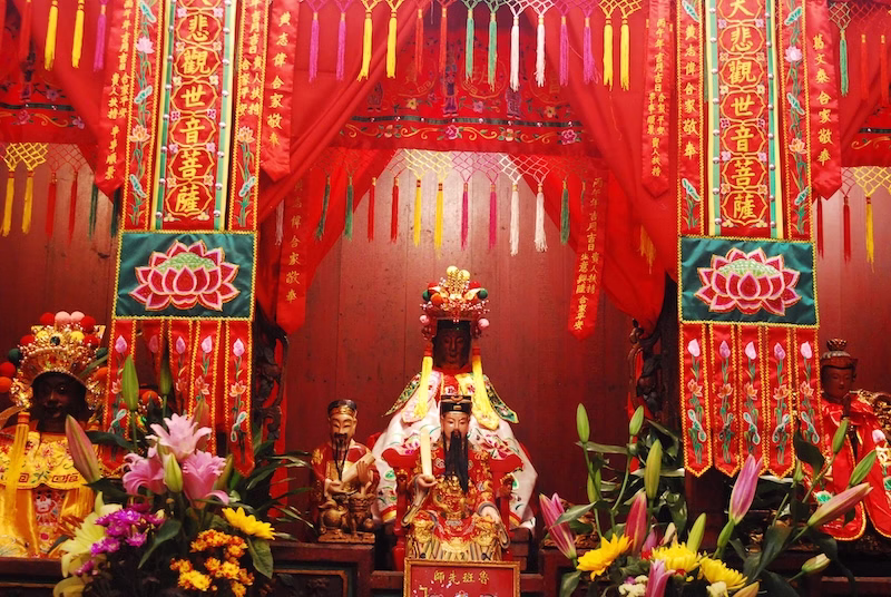
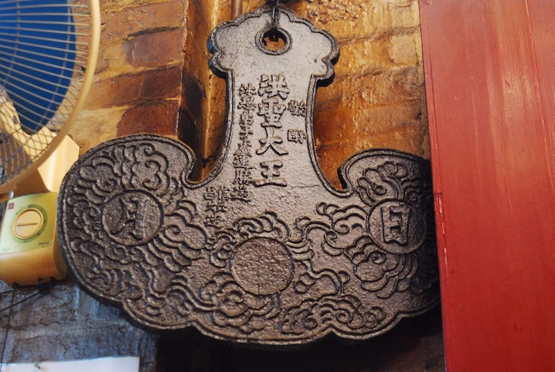
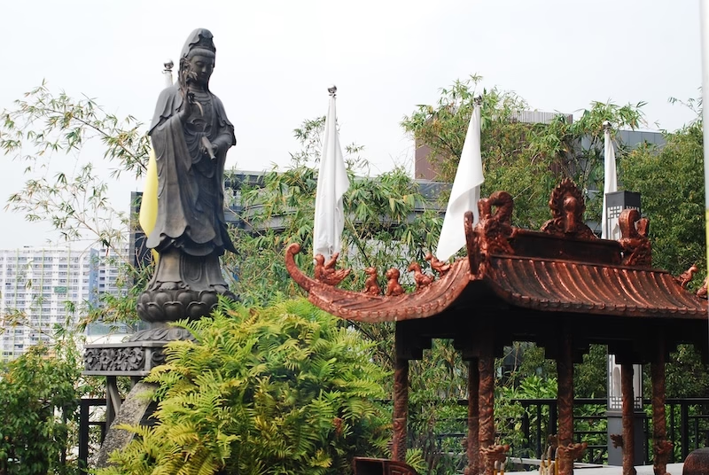
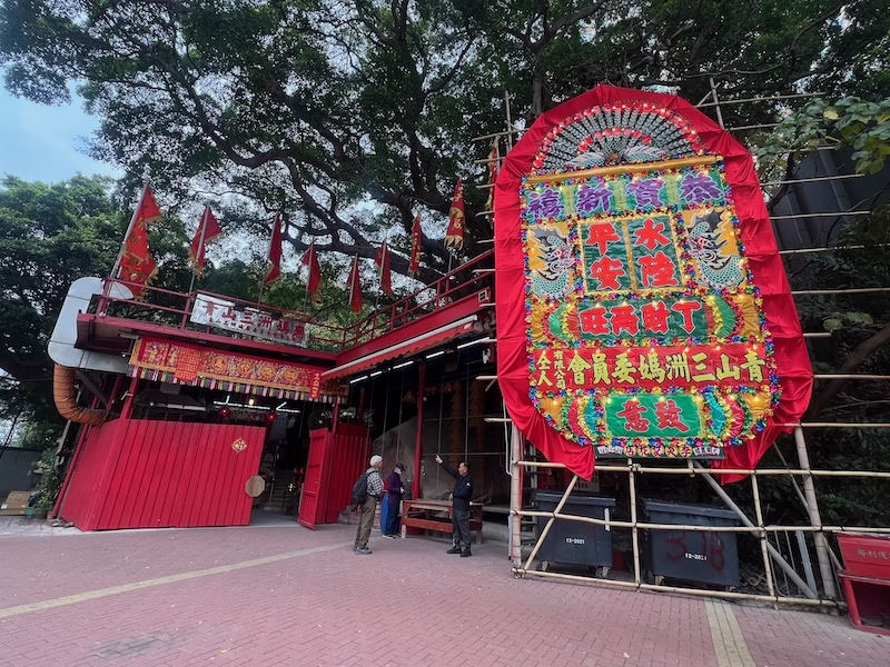
The Castle Peak Sam Chau A Ma Temple
Right through the southern end of the Ki Lun Kong Public Park stands the Castle Peak Sam Chau A Ma Temple. The history is, briefly, that there was a Tin Hau Temple here. In 1951, he British wanted to build a barracks here, and so they removed the Tin Hau statue. That statue came from Sam Chau of Taishan in Guandong, and that was why this temple was called the Sam Chau A Ma Temple. The fishermen rescued the statue. Eventually, they could rebuild the temple at the original site.
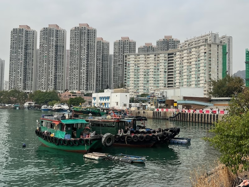
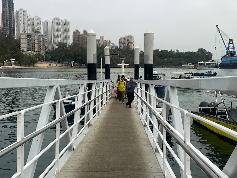
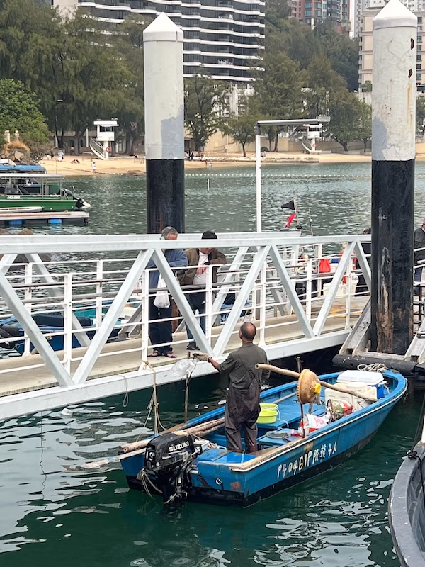
The Sam Shing Waterfront Promenade
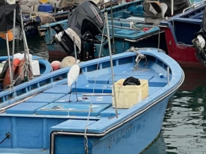
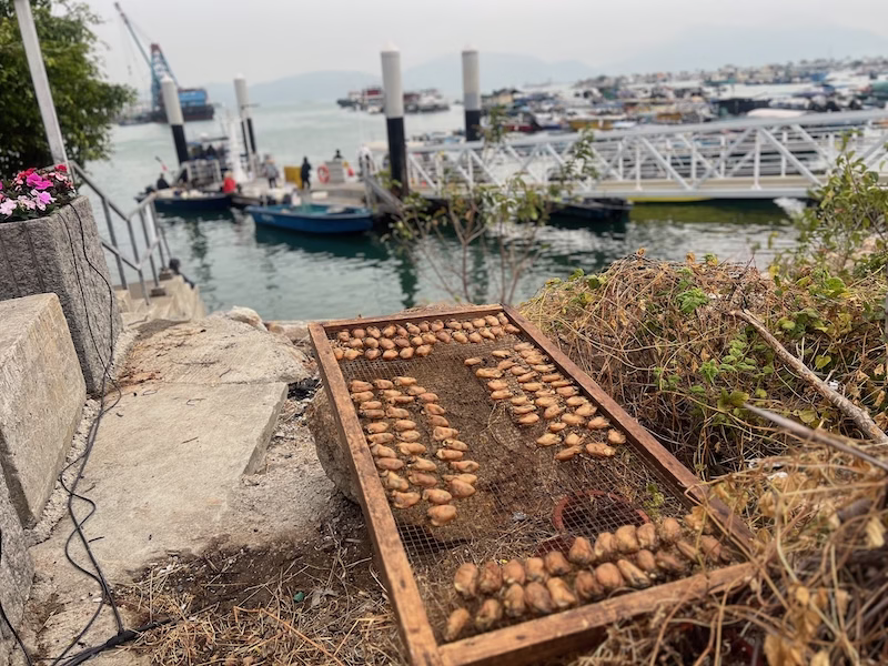
At the Sam Shing Waterfront Promenade I was pleasantly surprised to see some pretty unusual views in Hong Kong’s urbanized landscape. Quite a few fishing boats docked there in the afternoon, along with some medium-sized cargo vessels.
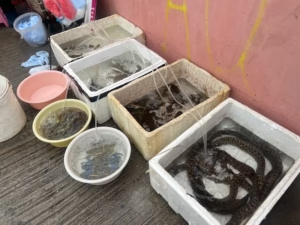
A couple of ladies sat in the area selling some little pieces of fish and an odd selection of seafood. I saw some people dealing with the fishermen themselves, apparently they were buying some seafood fresh from the boat.
The Promenade was surprisingly pleasant and I made plans to come back for a morning walk, perhaps to bring my dog with me as well.
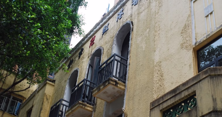
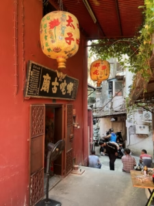
Tong Kee Seafood Restaurant
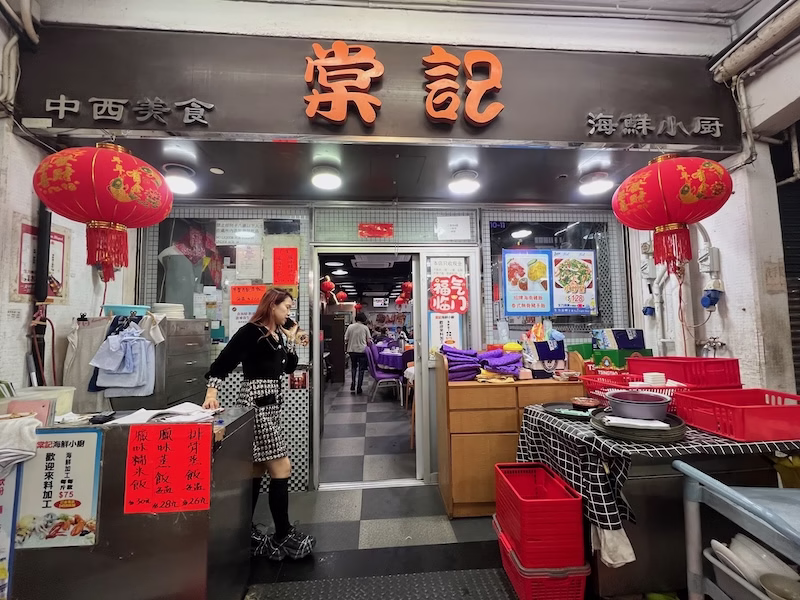
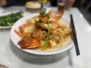
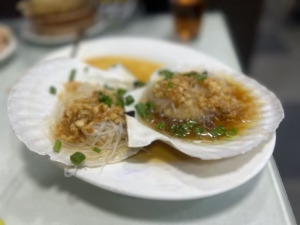
There are a host of seafood restaurants in Sam Shing and my family likes to go to Tong Kee. Tong Kee staff recommend Fat Kee for buying seafood.
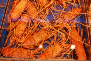
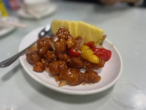
So we got our lobster for three and a few huge scallops. The food was yummy.
Sources
The Wikipedia on Sam Shing Temple (Chin).
Our China Story, Hong Kong’s Urban Legend: A Bleeding Spiritual Rock in Tuen Mun’s Sam Shing (Chin).
KK News, The Legend of the Spiritual Big Rock of Castle Peak Bay in Hong Kong (Chin).