Blog

To the Outback and Back — Embrace East Macdonnell at the Trephina Gorge

To the Outback and Back — Embrace East Macdonnell at the Trephina Gorge

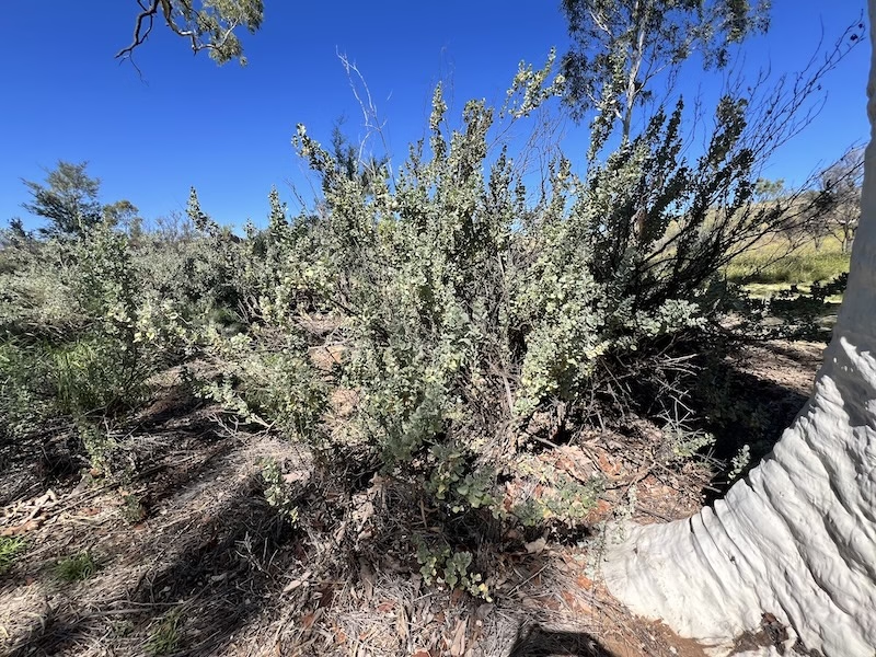
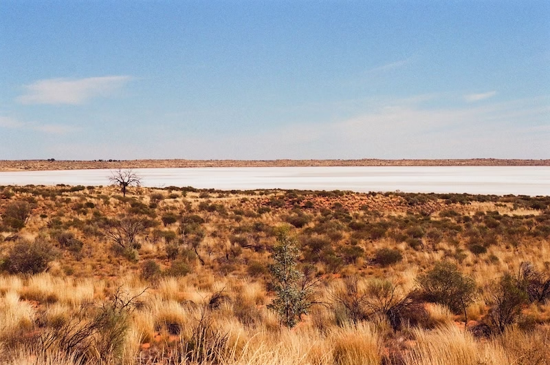
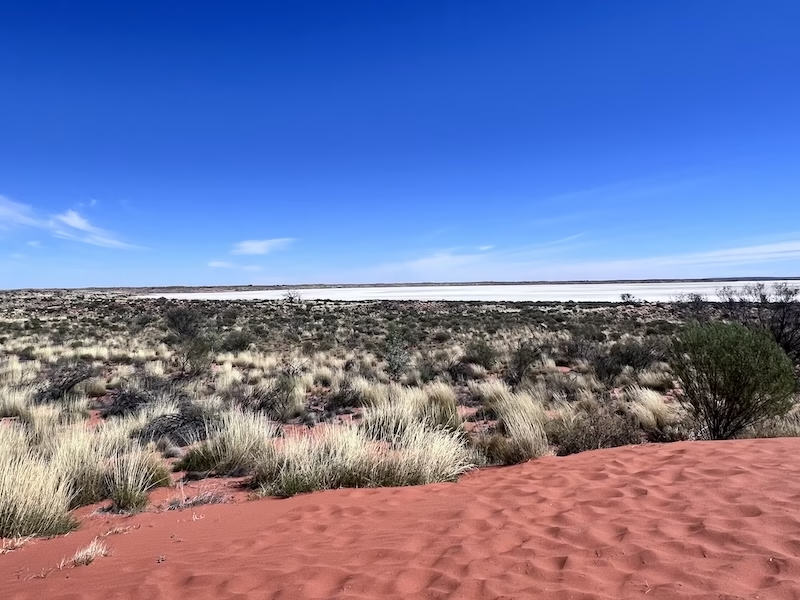
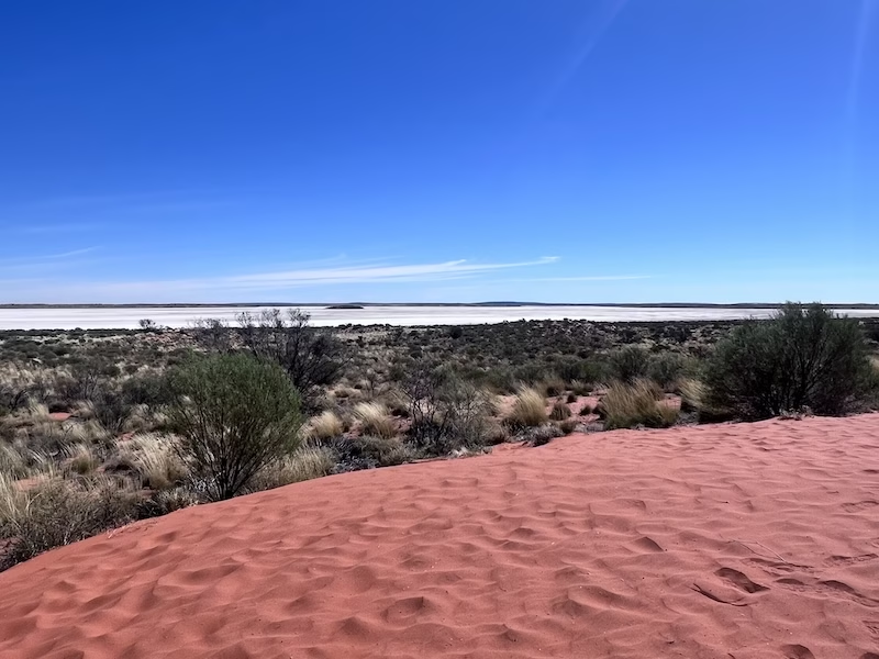
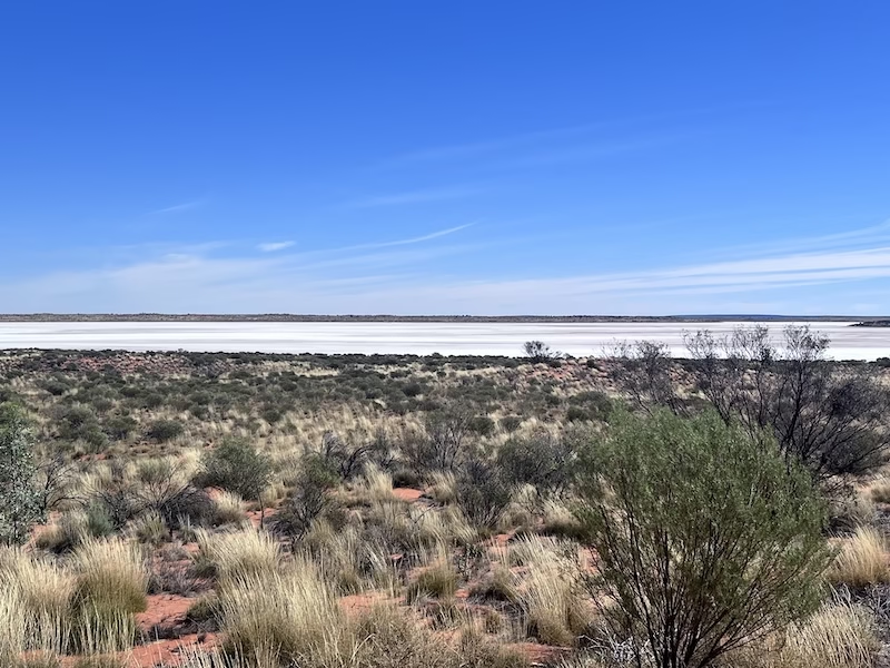
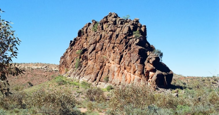
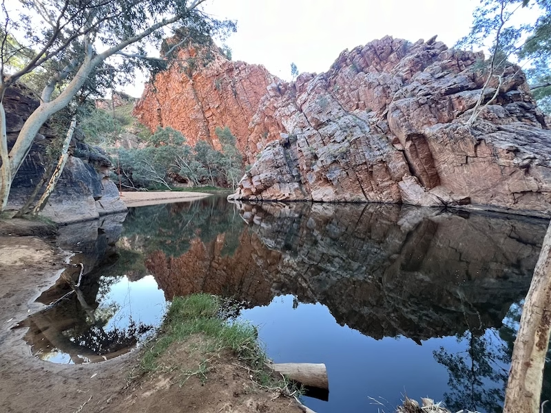
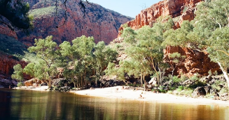
“What do you think this is?” Kirsty said to me, her smile shrouded in an expression of knowing mystery. “Uhm, I mean, it has to be sand?” I replied with a question, quite unsure of what this view in front of me could possibly be, 

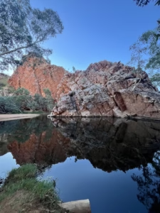
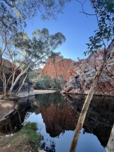
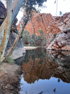
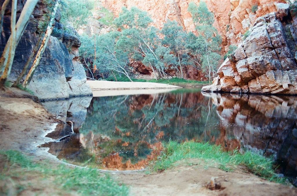
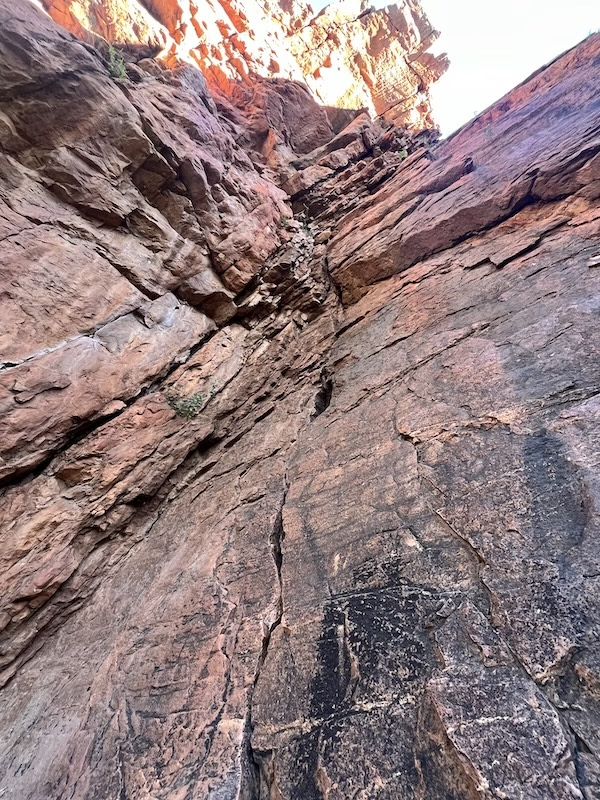
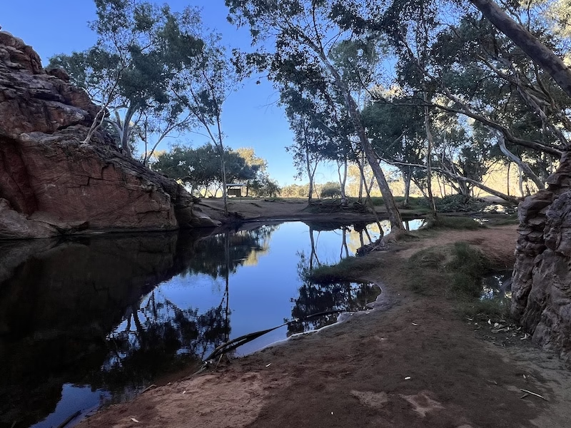
To the Outback and Back — Embrace East Macdonnell at Emily Gap

To the Outback and Back — Embrace East Macdonnell at Emily Gap

I lined up a trip to East Mac with Kirsty of Red Earth Roaming. She is a fantastic tour guide, who engaged me on so many different disciplines of knowledge. In this 6-hour tour, we went through amazing learning in geology, aboriginal and Aussie culture, 

To the Outback and Back — The Wonders of West Macdonnell at the Ormiston Gorge

To the Outback and Back — The Wonders of West Macdonnell at the Ormiston Gorge

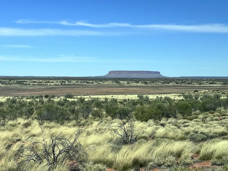
The tour was approaching its end and it was with a bit of unwillingness that I had to say goodbye to West Mac soon. I thought the Ormiston Gorge was one of the most amazing sites that I had visited thus far in the Outback. But before then, we did a quick stopover to view Mt Sonder.

The Pregnant Lady Rwetyepme

It is said that Mt. Sonder looks like a pregnant woman lying down. It takes a certain degree of imagination, but see if readers agree with that.

Now, the meaning of that interpretation of Mt. Sonder is perhaps not well known. I looked online and found a likely explanation. Mt. Sonder, in the native language named “Rwetyepme” (pronounced “roo-choop-ma”), means the Pregnant Lady. According to Reverend Michael Armstrong on the Anglican Board of Mission, the Dreamtime as told to him by an aboriginal elder goes like this:

In the dreaming a man and a woman, who were not permitted to marry due to their kinship relationships, had run away together. The woman was pregnant. They were hunted down for their breaking the law, and the man was killed. The woman was allowed to escape. However, she was so grieved by what occurred that she laid down on the ground and died.

Mt. Sonder and the Larapinta Trail

At 1,380 meters high, Mt. Sonder is the fourth highest mountain in Central Australia. It is named after German botanist Wilhelm Otto Sonder.

At the view of Mt. Sonder, we were told that the Larapinta Trail is the hiking route that would scale the mountain. The Larapinta Trail prides more than 220 km in total distance. On this trail you will garner insights into both the nature and the cultural aspects of the West Mac. Again, planning is necessary if you want to hike any or all of the sections of the Larapinta Trail. Hikers should consult a local travel operator if they want to do multi-day hikes. The Mt. Sonder section of the trail is a 16km hike.

We stopped only briefly at the lookout. The day appeared to be waning, and we headed out to the very last, and the most enjoyable for me, site. Ormiston Gorge was next.

The Finke River

Central in the learning here is the Finke River. Brent told us that the Finke River is the oldest river in the world. The Finke River formed as early as 300 to 400 million years ago, and not from glaciers or tectonic movements.

According to Britannica, the Finke River is a “major but intermittent river of central Australia that rises south of Mount Ziel in the MacDonnell Ranges of south-central Northern Territory. The Finke passes through Glen Helen Gorge and Palm Valley and then meanders generally southeast over the Missionary Plain. Entering a 40-mile (65-km) gorge between the Krichauff and James ranges, the river emerges upon mudflats and sand flats to be joined by the Palmer and Hugh rivers.”

The river flows intermittently, only at times of major rainfall events. Yet the Finke River was still a key water source for the fauna and flora in West Mac. At times of flood only, the Finke River would reach as far south as South Australia, which is the state in Central Australia that lies directly south of the Northern Territory.

That sounds like a whole plate of learning. But geography aside, the cultural aspects of the Finke River was tied to Australia’s European past as well. In this story the explorer John Stuart visited the Finke River in 1860. He named the river after his patron, William Finke.

Perhaps it is no surprise that the Dreamtime also features the Finke River, known as Larapinta, meaning “salty water.” The Wester Arrernte aborigines believe that the Rainbow Serpent emerged from Lake Eyre, thrusted north and formed the Larapinta.

The Ormiston Gorge

Where the Finke River passes to its west, the Ormiston Gorge lies still in the folds of time. Known as Kwartatuma in Western Arrernte, the Ormiston Gorge is a sacred site for the aborigines. The Dreaming involves the emu ancestors that traveled from the Ochre Pits to the Ormiston Gorge. They were hunted by a man here.

The popular hiking options at the Ormiston Gorge are the Ghost Gum Lookout (20 minutes, upward climb), the Waterhole Lookout Walk (5 minutes) and the Pound Lookout, a 3 to 4-hour loop. I opted to do the Ghost Gum Lookout and took a look at the Waterhole too.

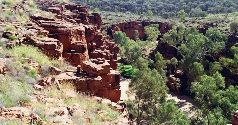
From the Ghost Gum Lookout, I saw how unlikely colors of the Outback came together in a landscape full of life. At the fissures, the rock cliff faces consisted of the rusted Heavitree quartzite are exposed, and at the lookout this rusted earthiness becomes strands of brightness amidst a vast expanse of arid colors, mostly in chestnut hues and lots of dull greenery.

The river water here is not the navy blue that I saw at the Ellery Creek Big Hole, but perhaps it is so clear that the colors of the riverbed sediments are shown through in dark emerald. The river meanders in this gorge, like the velvety belt of a wholesome country girl.

The Waterhole was a fantastic place for reflection. The scenery there was serene, and more so than the Ellery Creek Big Hole. The Ormiston Gorge Waterhole features plenty of vegetation and tall gum trees to line its shore.

The waterhole is near-permanent here. At its deepest end in rainy season, the waterhole measures 14 meters deep. In here I felt the stillness of time under the slightly waning daylight. A book here for a whole day would be exceedingly pleasant.

There are also campgrounds at the Ormiston Gorge. For a pretty thorough factsheet on traveling to Ormiston Gorge, see this document by the Northern Territory Government.

Those who are interested in a learned immersion into the cultural aspects of the Ormiston Gorge, be on the lookout for the Kwarta Tuma Festival. The website is here.

My day at West Mac ended on a lovely high note. Would I come again? You know what, now that I have had the experience planning a trip to the Outback, I really might do a self-guided tour here, and explore some other spots that were not covered on this trip.

Sources

Reverend Michael Amstrong, Anglican Board of Mission Archives, Rwetyeome, The Pregnant Lady.

Ausemade, Mount Sonder / Rwetyepme.

Ausemade, Ormiston Gorge and Pound.

Clayton John, Larapinta Dreaming, heartfulness, January 2, 2023 at https://heartfulness.org/magazine/larapinta-dreaming

Kate Leeming, Following the Finke: A Modern Expedition Down the River of Time, www.breakthecycle.education.

To the Outback and Back — The Wonders of West Macdonnell at the Ochre Pits

To the Outback and Back — The Wonders of West Macdonnell at the Ochre Pits

In the last entry on the Ellery Creek Big Hole, I noted that the colors of the desert evoked an unexpected marvel upon my sensations. Perhaps that observation has come into full focus at the Ochre Pits. It is said that the Ochre Pits is 

To the Outback and Back — The Wonders of West Macdonnell at the Ellery Creek Big Hole

To the Outback and Back — The Wonders of West Macdonnell at the Ellery Creek Big Hole

The tour left Standley Chasm for Ellery Creek, where we would have our picnic lunch. The Ellery Creek Big Hole is an oasis in the desert, with a body of water large enough in which to swim. In fact, the Ellery Creek Big Hole is 

To the Outback and Back — The Wonders of West Macdonnell at Standley Chasm

To the Outback and Back — The Wonders of West Macdonnell at Standley Chasm

We left Simpson’s Gap in less than an hour and arrived at Standley Chasm soon. The Standley Chasm measures 80 meters in height and 5 meters in width. To the Western Arrernte aborigines, who are its original occupiers, Stanley Chasm is known as Angkerle Atwatye, meaning “the Gap of Water.”

As the natural formation’s English name, Standley Chasm is named after Mrs. Ida Standley, who was the first schoolteacher in Alice Springs. It is the effort to recognize her contribution to the welfare of the children of Alice Springs during 1914 and 1929. Mrs. Standley taught both European and aboriginal children. She was an important figure serving in the then difficult circumstances of the Alice Springs community.

As a cultural site for the Arrernte aborigines, Stanley Chasm was the community venue for the women of the tribe. There is an abundance of red gum trees in this area. The other plants are used for medicinal and artistic purposes. For example, the special Bat-leaved Coral Tree called Inarnta Beantree is uniquely native to Australia. It has medicinal use for the native peoples.

Today, Standley Chasm is privately held by the Iwupataka Land Trust. In other words, the aborigines remain the actual owners of the land in this area. They are responsible for the maintenance of both the land and the businesses there. I will say more about the wonderful Standley Chasm Angkerle Café there — it is wholly owned, run and operated by the aborigines.

Itinerary

When we were dropped off we were told that we had maybe a little over an hour at the Standley Chasm. Those who could walk would take the trail and reach the Standley Chasm in a little more than half an hour. Those who were not able to walk could opt to sit at the café for wonderful coffee and light breakfast. The trail is accessible by wheelchair, although it may be a little bumpy at certain sections. There is a way to connect to Section 3 of the Larapinta Trail on this short trail.

The walk was exceedingly pleasant in the morning hours. There was no climb at all, and we reached the Standley Chasm in about 35 minutes or so. The experience of approaching the Standley Chasm was somewhat similar to that of Simpson’s Gap, as our visuals narrowed when we walked toward the final stretch of the Chasm. There was also a pool at the end of the journey.


Views at Standley Chasm

The views were beautiful at Standley Chasm. The hills that formed the walls of the Chasm are also rusted in red earth. “Quartzite walls were formed by ancient seabeds approximately 2.2 billion years ago, making them some of the earliest mineral formations on the planet” (Our Dusty Backroads). It was a long process of oxidation that turned these naturally cool-colored quartz into the warm hue of red now.

The chasm created a narrow tunnel view through the open air. There was perhaps just one iconic shot to be taken here, and people had to line up a little to take turns. But don’t be fooled, the geology of the Outback will surprise you with things hiding in plain sight.


Beneath the chasm’s rocky surface is a river that flows continuously beyond the passage of time. There is no visible water to be seen, for sure, but if you spend a day digging, you will eventually find the underground water that serves as the ever-erosive force that shapes the face of the desert in unimaginable ways. I will explore this aspect of the geology in a later entry on East Macdonnell.

The Dreamtime

Perhaps the first course in appreciating the indigenous cultures of Australia is the idea of the Dreamtime. In the broadest sense, the Dreamtime is the name given to the Aussie aborigines’ understanding of their world. Be it myths or traditions, the Dreamtime informs the aborigines in the imaginative ways they understand the origins of nature, the concept of time and the relationships between them and the forces of nature that shape their cultural practices and social norms. It is passed down through generations of aboriginal descendants. A lot of such ideas are expressed in their art and oral traditions, which often come with fused artistic and pragmatic purposes.

The Dreamtime at Standley Chasm is an exemplary of the aboriginal Dreamtime. Suffice it is to say that the European proposal of the idea originated from their study of the Arrernte aborigines in Central Australia. Although the use of the word Dreamtime has been subject to scholarly criticism, the word does convey a positive expression for aboriginal myths, worldviews and culture. I think it inspires interests in their stories.

The story that explains the formation of the Standley Chasm is passed down by the descendants of the Mukaringa Country. Two euros (a smaller kind of kangaroo called wallaroo) were traveling from the west to Angkerle Atwatye. Before they arrived, the Standley Chasm did not exist. They got into a huge fight. Their tails were hung in the air. One of the euros fell hard onto the mountain range, and its tail broke the mountain into half. That was how the Angkerle Atwatye came into being.

In the aboriginal cultures, there is a clear division of labor between men and women members of the tribes. Women and men grew up receiving distinct trainings, including the versions of stories that are told to them. Only the public versions of Dreamtime can be shared with us.

The Standley Chasm Angkerle Café

After admiring the Standley Chasm, I made my way back to the meeting point, which is the Standley Chasm Angkerle Café. I ordered a cappuccino with buttered raisin toast and the combo was delightful.

Seated at my table was a British couple and a man from Texas, all of whom are members of the Autopia tour. We started discussing the war in Israel and I had some really stimulating discussions with them about the affairs of the world. They took keen interest in Hong Kong politics, especially after the 2019 incidents. Being American, I became immediate friends with the man from Fort Worth. We would then be having many good conversations for the rest of this tour.

Sources

Common Ground, Two Euros at Angkerle Atwatye.

Our Dusty Backroads, Standley Chasm: Billions of Years in the Making.

The Wikipedia on Standley Chasm.

The Wikipedia on Ida Standley.

The Wikipedia on The Dreaming.

To the Outback and Back — The Wonders of West Macdonnell at Simpsons Gap

To the Outback and Back — The Wonders of West Macdonnell at Simpsons Gap

I refer to the Outback as a colloquial reference to the part of Australian hinterland that comes with a vast expanse of desert and an enormous diversity in natural endowment. If one must put a finger on the proper names, the Outback is located in 

To the Outback and Back — Preliminaries

To the Outback and Back — Preliminaries

The Australian Outback has captured my imagination for as long as I remember. Although I have been to a number of the eastern coastal cities in Australia, the Outback remained a place of mystery to me. I had thought of that vast desert region to 

The Tin Hau Temple of Causeway Bay

The Tin Hau Temple of Causeway Bay

In the last entry I discussed the Hong Kong Red Swastika Building. Lying not far away from the Hong Kong Red Swastika Building is the Tin Hau Temple of Causeway Bay. That was one stone, two birds for me.

The History of the Tin Hau Temple of Causeway Bay

The exact year of construction of the Tin Hau Temple of Causeway Bay is unclear. But its history is tied with that of the Tai clan. It is said that the Tai folks found a red stone shaped like an incense burner at the shore. They believed that it was a sacred object sent by Tin Hau. Thereafter, they built a shrine at the shore and housed this sacred stone for worship. It became very popular with the fishermen’s community. The Tais then raised funds to build a Tin Hau Temple. The temple stands on the reclaimed land of what used to be a fishing village.

Traditionally, a temple in Hong Kong is dated by the sacred objects, and usually the brass bell that graces almost all temples are the first clue to look for. The sacred objects in this Tin Hau Temple are dated to different periods of the Qing dynasty. The brass bell bears the date of the 12th year of the Qianlong reign (1747). The name plaque of the temple and the accompanying couplets have stood at the temple since the 7th year of the Tongzhi reign (1868). The stone altar table where the statue of Tin Hau sits is engraved with the wordings, “the 2nd year of the Guangxu reign” (1876).

Architecture and Other Features of the Tin Hau Temple of Causeway Bay

Traditionally, Tin Hau is worshipped by the fishermen’s community as she is the Goddess of the Sea. In a lot of Hong Kong’s inhabited islands, Tin Hau is the goddess of choice for the islanders. Yet, this Tin Hau Temple does bear some unique features as opposed to other Tin Hau Temples.

First of all, the temple is significantly more spacious than the other traditional temples in Hong Kong. It has the format of two halls, two bays. Tin Hau, Judge Bao and the God of Wealth are the resident deities.

On the sides of the temple is a pair of stone lions that bear the date “the 25th year of the Daoguang reign” (1849).

Before the temple building lies a large open area. A stone table supports three treasures, they are incense holders, bearing the date “28th year of the Guangxu reign” (1902).

The temple is built of blue bricks and stones. As with all temples the ridge of the roof is adorned with clay figurines, and the ones at this Tin Hau Temple are the work of the famous Shiwan craftsmen. The main motif is the two dragons toying the pearl. Otherwise, the other figurines at various lower levels depict famous scenes in Chinese operas.

Hung on the sides of the main entrance are two colorful large lanterns. Wall murals are also standard features in Hong Kong temples and this Tin Hau Temple comes with ample displays of mural art. At the side walls outside of the main hall, clay relief mural installations add a touch of traditional mysticism.

One comes to appreciate the temple beyond its religious purpose. It has aesthetic qualities that show wonderful artistic value and craftsmanship. In all measures this temple is more beautiful than other standard temples in Hong Kong.

Tin Hau Birthday Celebrations

Also known as the worship of Mazu, Tin Hau worship is recognized by the UNESCO as a global intangible cultural heritage. On the 23rd of the third month on the Lunar Calendar, the followers of Tin Hau hold celebration festivities for Tin Hau’s birthday. There are ceremonies that “receive the Goddess,” opera performances offered to Tin Hau, fa pau (paper floral tributes) and a procession. Traditionally, the celebration begins at the large open area before the Tin Hau Temple of Causeway Bay.

The Tin Hau Temple of Causeway Bay is a Declared Monument. The address of the Tin Hau Temple is 10 Tin Hau Temple Road, Causeway Bay.

A gentle reminder: when I was inside the temple, I was told that photographs are not allowed. Please be respectful.

Sources

The Antiquities and Monuments Office on The Tin Hau Temple of Causeway Bay.

GBA Times, Causeway Bay’s Tin Hau Temple and its Hundred Year Heritage (Chin).

The HK Hub, The Cultural Guide to Tin Hau Festival, Celebrating the Sea Goddess’ Birthday.

The Hong Kong Red Swastika Society

The Hong Kong Red Swastika Society

Oh, the Swastika! Surely that it is a symbol of horror, but in China it stands only for a charitable purpose. For a very long time, I thought the Red Swastika symbol for the Chinese religious and charitable organization was a flipped version of the