Blog

The Heart-Shaped Kwu Tung Reservoir

The Heart-Shaped Kwu Tung Reservoir

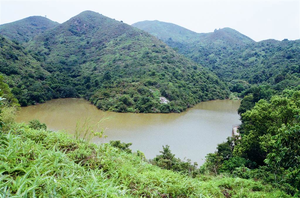
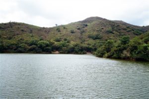
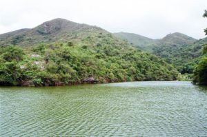
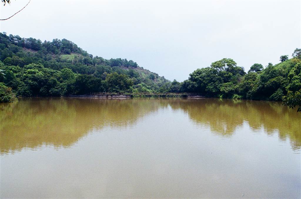
The first walk at the Kwu Tung Reservoir turned out to be a spooky experience.  My grandfather was buried in the hillside graveyard across from the reservoir.  When I got there, I was saying in my heart, “hi Grandpa, I am here.”  The hillside graveyard 

Farewell, Kwu Tung Village

Farewell, Kwu Tung Village

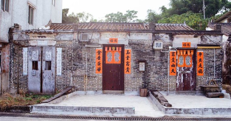
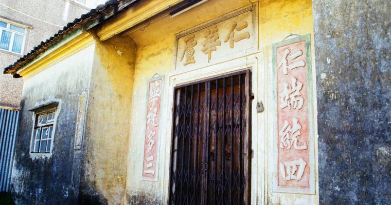
The time has come and Kwu Tung Village is scheduled to be demolished in 2023 to make way for the Kwu Tung North New Development Area. Kwu Tung—A New Development Area As part of the Hong Kong Government’s initiative to provide housing for an expected 

The Southern District Coastal Trail (The Waterfall Bay and Sandy Bay Road)

The Southern District Coastal Trail (The Waterfall Bay and Sandy Bay Road)

I have been very eager to visit the Waterfall Bay at Wah Fu Estate for a while.  After a stretch of rainy days last week, the water flow must be voluminous there.  Therefore on the first sunny morning I headed out to the Southern District of Hong Kong Island to finally see this site of significance in Hong Kong’s history.

The plan was to see Sandy Bay Road, which is also part of the Southern District Coastal Trail, then head on over to the Waterfall Bay.  However, I learned that there was no bus from where I was, which was some ways from Kennedy Town, to Sandy Bay.  I then switched around my itinerary, and decided to go to the Waterfall Bay first.  It being located close to Wah Fu Estate, there were many transportation options.

The Waterfall Bay’s History

I arrived at Wah Fu Estate and headed right onto the Waterfall Bay Road.  Soon I came upon a park area with recreational facilities, and found my way first to the Buddha Statues and the Wah Fu Estate Swimming Spot.  They are right next to each other.  To be honest, the Buddha Statues were a little creepy to me.  The statues lined a whole section of the slope, giving an impression of an unusual presence of spirits.  Some bloggers suggest that the former residents of Wah Fu Estate left their Buddhas behind in this location when they moved away.

At this viewpoint, the Lamma Island seems within reach.

Photos: views at the Wah Fu Estate Swimming Shed

Many incidents in its past suggest the Waterfall Bay to be haunted.  The main source of this spookiness was the fact that the Japanese military has used the military structures at Waterfall Bay (see below) during the Japanese Occupation years.  They massacred commoners and members of the anti-Japanese guerilla forces here.  The site was once a mass grave as a result.   As the Wah Fu Estate was itself once a cemetery, this history have inspired countless eerie rumours.

Yet the historical significance of the waterfall at Waterfall Bay goes beyond the World War II era.  In a visit to the Hong Kong Museum of Art on a previous occasion, I saw a painting by an unknown artist of the Waterfall Bay.  The Museum had this following to say about the waterfall:

“Some scholars believe that it was known as the Waterfall of Aoyang, and was regarded as one of the “Eight Views of Xin’an” mentioned in the Gazetteer of Xin’an County edited by Wang Chongxi in 1819 (the 24th year of the Jiaqing Reign of the Qing Dynasty).  Today, there is still a waterfall by the sea at Wah Fu Estate (which was formerly a cemetery named Kai Lung Wan).  It was a place where merchant ships or warships entering and leaving Hong Kong stopped to replenish drinking water.  In 1816, a British diplomatic mission being sent to the Qing government halted to obtain supplies there.  The diplomat praised “A beautiful waterfall plunging through the picturesque scenery,” which was reflected in the designation “Waterfall Bay.”

This painting shows the waterfall to be significantly grander than its current views.  The upstream of this water flow came from Pok Fu Lam.  According to some bloggers, the construction of the Pok Fu Lam Reservoir has cut the water flow there by half.

Along the same lines of haunted rumors, there was a mass murder of villagers here by the pirates that ran rampant during the Qing Dynasty.  Plenty of spirits seemed to have met unhappy ends here.

In terms of standard history, the Waterfall Bay is also the location of some military significance.  Right at the rocky shore of the waterfall, the ruins of a pillbox and a search light tower stand, lonelily especially at high tide.  The Waterfall Bay military structures were part of the British’s plan for Hong Kong Island’s coastal defence during WWII.  The light tower was equipped with Lyon Light.  However, the site might not have served in any battle.  It later became haunted because the Japanese might have used it for gruesome ends during the Japanese Occupation years, as discussed above.

This historic relic is accessible during low tide, which is sometime in the afternoon.  I was there at 2pm.  The stream was low enough to trek across with shoes off.

Photo: the rocky shore at the Waterfall Bay at low tide

In all reasonableness, however, there are danger points at this site.  It’s haunted also because there were fatal accidents from tourist visits.  Therefore exercise caution when you are there.

The Journey

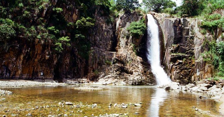
At the Wah Fu Estate part of the Southern District Coastal Trail, I turned left facing the sea.  I found my way to the site of Buddha statues and the swimming shed.  Having gone back to the park, I headed northward.  Soon I reached the stairs down to the Waterfall Bay.  The sound of flowing water was the first sensation.  The view was breathtaking:

The Waterfall Bay is a very special location because it is a natural wonder at a stone’s throw from civilisation.  The Bel-Air behind the waterfall makes a great juxtaposition.

As noted above, in the old days the fresh water supply here was much-needed for both merchant and military ships.  Although its supply of fresh water has long ceased to be of practical importance, the waterfall now provides a close encounter with nature and it is therapeutic.  I stared at the waterfall for half an hour, breathing in an abundance of negative ions, and simply did not want to leave.

After visiting the Waterfall Bay and the war relic, I took a bus to Cyberport.  Then I went on foot for about 15 minutes to see the Sandy Bay.  On this stretch of a seaside promenade, the stone barrier is a photogenic feature that many photographers like.  Because it faces west, it is also a great spot for watching sunset.

Some older reports discuss a seaside swing hung on tree branches, and also a swimming shed with a stone bridge.  The scenery would rival the Sai Wan Swimming Shed.  I was keen on seeing Sandy Bay because of these features, but they no longer exist now.  Instead, I went further from the stone barrier section of the road, and climbed over the large rocks onto the beach.  There is another stone or concrete bridge there that is just as photogenic.

Photos: Above photos are the views at the Sandy Bay shore.  Take these stairs at the beginning of Sandy Bay Road. Climb over the large rocks to reach the bridge pictured above.

How to Get There

I took Bus 970 from the Kennedy Town area and got off at the Wah Ching House, Wah Fu Estate stop.  Other buses that stop there are 4X, 42, 42C, 94A and A10.  Once getting off at this stop, walk downward on Waterfall Bay Road to reach Waterfall Bay Park.  At that point facing the sea, you will reach the Buddhas and the Wah Fu Swimming Shed on your left, and the waterfall is on your right, northward.

There are a few minibus routes serving the Cyberport areas as well, including 10, 10P, 58 and 58M, which will stop very close to the Sandy Bay Road entrance.  If you go from Cyberport to Sandy Bay Road, get off at the MacLehose Medical Rehabilitation Centre and walk one minute toward the shore to enter Sandy Bay Road.  Otherwise, a walk from Cyberport to Sandy Bay Road is about 20 minutes, a part of which is a gentle incline but there is very little shade throughout.

Sources

Exhibition at the Museum of Art of Hong Kong.

The Wikipedia on Waterfall Bay.

Waterfall Bay, A Waterfall within the City.

Waterfall Bay Park, Hidden in the City.

For Further Reading

This is part of a series of writing about World War II History in Hong Kong.  Please visit the following links for more on the same subject.

The Pinewood Battery

The Shing Mun Redoubt

Japanese Fortifications in Luk Keng

Murmurs of the Hollow at Mount Davis

Hike of the Year: From Nam Fung Sun Tsuen to Jardine’s Lookout and Back

War Relics at the Devil’s Peak

The Sai Wan Battery

Like Greece–The Chung Hom Kok Battery

Ma Tso Lung – Fish Ponds in Hong Kong’s Hinterland

Ma Tso Lung – Fish Ponds in Hong Kong’s Hinterland

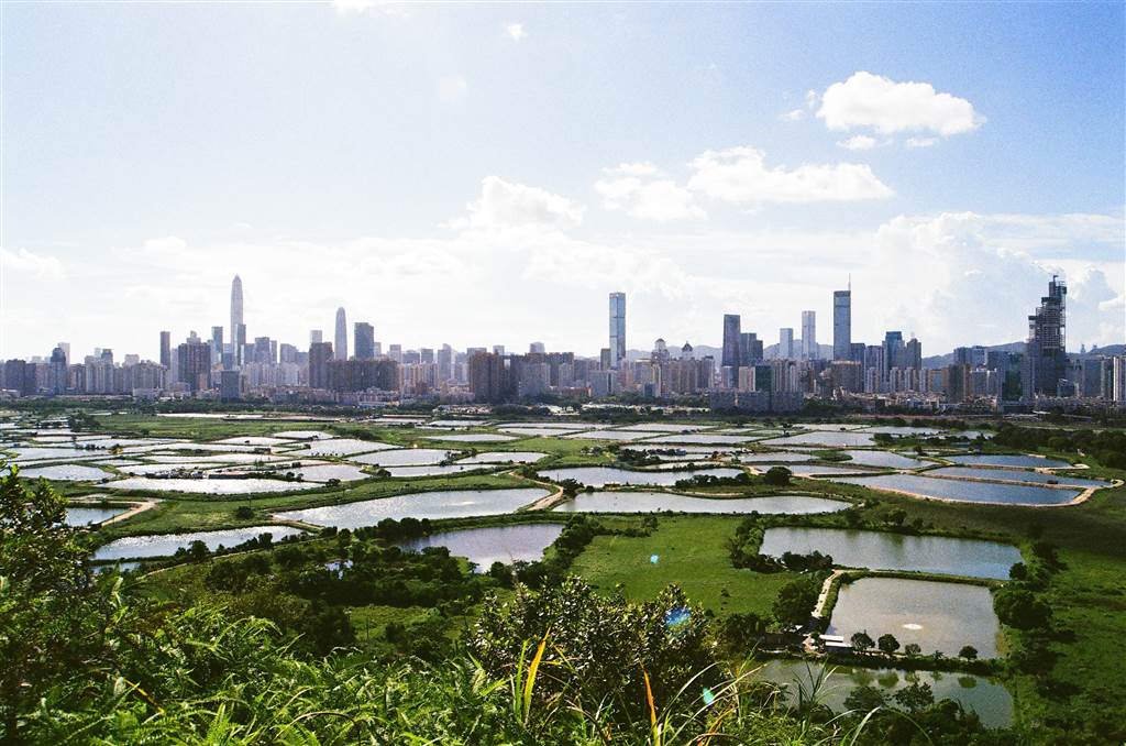
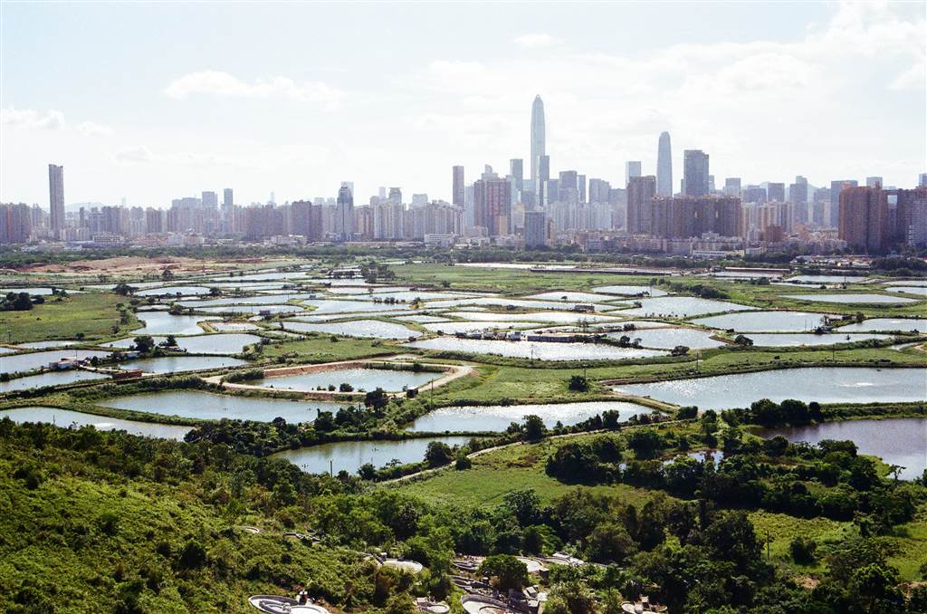
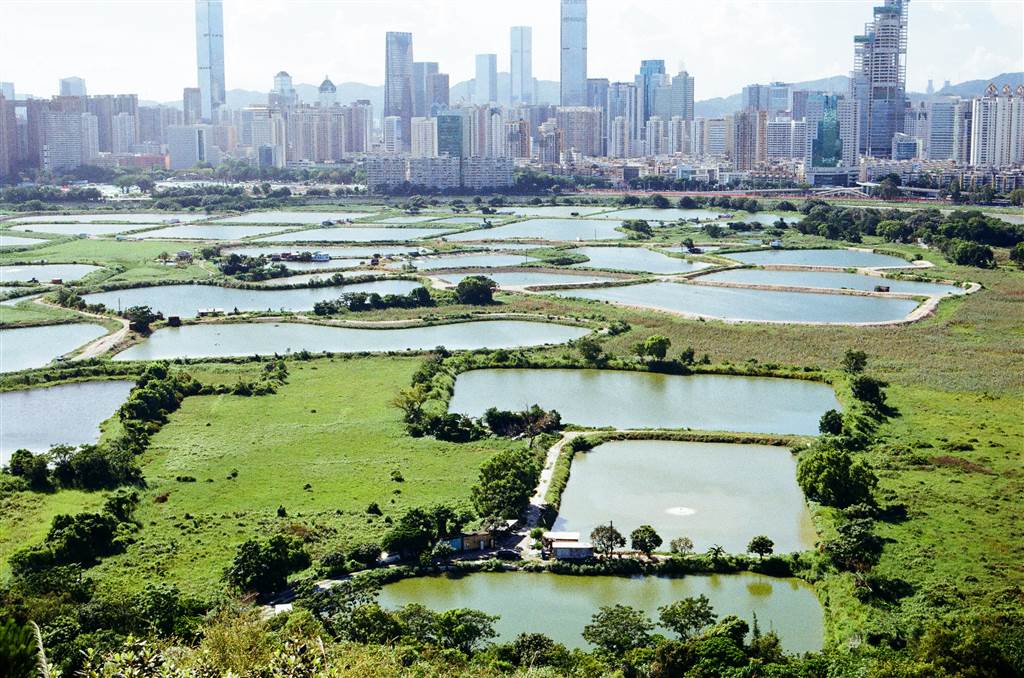
Views of the fish ponds at Ma Tso Lung has become a hot spot for photo-taking in recent years, especially for sunset photos.  This area of the New Territories used to be restricted border area.  In 2013, the Hong Kong Government lifted the border restrictions 

Billow at the Little Egret

Billow at the Little Egret

When I was young, I was always fascinated by a beautiful natural lake that I saw when the train passed between the University and Tai Po Market stations.  Back then, it was simply a lake with a lone rock in its middle.  This scenery in 

A Delightful Short Walk at the Ngau Wu Reservoir

A Delightful Short Walk at the Ngau Wu Reservoir

The Ngau Wu Reservoir

The Ngau Wu Reservoir is an unusual reservoir in Hong Kong.  It is not a government-run reservoir.  Built at mid-stream of the Ngau Wu Stream, it wells fresh water flowing from Ngau Ngak Shan (the Hunch Backs).

The reservoir served the water needs of the Wu Kai Sha Children’s Garden (which was an orphanage) since 1963.  The Children’s Garden ceased operation around the 1970s.  Then the former site of the orphanage became the Wu Kai Sha Youth Village.  One special feature, perhaps unique amongst Hong Kong’s water reservation facilities, is the V- shaped dam of the Ngau Wu Reservoir.

The reservoir is very small and it takes just one minute to walk (carefully) along the main dam.  It is possible that even today the reservoir supplies water to the Wu Kai Sha Youth Village.

Ngau Ngak Shan, on the other hand, is the lower peak of Ma On Shan at a height of 677 metres.  The Ngau Wu Reservoir lies at the low-to-mid level of the mountain, with Ngau Ngak Shan, standing tall and grand, on its back.  There are well-known trails from Tiu Shau Ngam that lead hikers up to its peak and then the highest summit of Ma On Shan, but they are of the most difficult level.  A short and easy walk to the Ngau Wu Reservoir would have to do for me, as I went alone on this really hot summer day.  I spent a little more than two hours at Ngau Wu Reservoir.

How to Get There

There are a few sites in this area that are worth visiting.  First of all, let’s head to the mountain from civilisation.  At the Wu Kai Sha MTR station, take Exit B and walk toward Lee On Estate, on Sha On Street.  Please do not enter Lee On Estate.  At this point, which is right before you head into Lee On Estate, there is a small set of stairs down to a well-paved road.

Walk on the well-paved road all the way toward the very end.  You will have climbed a few sets of stairs up, right beneath the highway.  At the T intersection, make a right on the paved road, on a gentle incline.

Keep on going, and soon you will notice a graveyard for the indigenous villagers of the Wu Kai Sha Village.  Thereafter, you will see a distinct section of the road with tall trees lining on two sides.

Perhaps within three to five minutes, keep watching to your left.  There is a concrete structure, and the entrance to the mountainous path is right via this road by the concrete structure.  In Chinese it says “up the mountain.”

Follow this path, and soon you will come across a crossroads.  There are two metal racks on your left.

I first explored the path on the left, and it leads you to a man-made, very small pool of water.  The steps up by the pool will lead you up the Ngau Wu Stream.  Because we have seen quite a stretch of sunny days, the water was not voluminous.  Yet the small stream was a pleasant rest point.

After visiting the man-made pool, I went back to the crossroads with the metal racks.  I then took the path to the right, and went up to the Ngau Wu Reservoir.

When you see this crossroads, take the path on the left.  This will take you to the main dam of the Ngau Wu Reservoir.

A photograph or two will do for this section of the sightseeing.

Head back to the beginning of the dam, and cross over the dam at this point.

It leads you to the small stretch of rocky shore that you see from a distance at the main dam.  From this point, you see the tall buildings of Ma On Shan over the Ngau Wu Reservoir.

There was not enough water on this day, therefore the small “waterfall” did not even create a well of water at the rocky shore.  As such, the shore was mostly dry.

Now head back to the main dam, climb back up and head over onto the path on your left.

At the next crossroads, take the path on your left and you will be heading to the small dam of the Ngau Wu Reservoir, with a small natural pool with water crystal clear.  The path on your right would take you even further up-stream, but I did not do that this time.

The views are exceptional there as well, and I spent quite a bit of time sunbathing as I dipped my feet into the cool of the water.

Interesting Sights

At both the man-made pool and the natural pool at the small dam, I observed villagers collecting water from the up-streams.  I thought that was very interesting.  An older lady brought a few heavy-duty empty bottles (as in 5-litre bottles) with her.  I asked her if she was indeed bringing all those back to civilization, and she said yes, it is not too much work for her.

At the man-made pool I saw an old man bathing there, and surely both pools are suitable for bathing.  The water was so clear, and the scenery so serene, I thought I would come back with my swimsuit as well.

Gentle Reminders

The paths are mostly unpaved once you ascend onto the mountain.  They are well-trodden roads, but quite rocky throughout.  If not careful, you might easily sprain your ankle.  The inclines are gentle and the path was generously shaded throughout, however, therefore do bring enough water and it should be an easy afternoon outing, perhaps suitable for older children as well.

Sources

Most of the historical descriptions on this entry came from the Wikipedia and Oasistrek.

The Sai Wan Swimming Shed

The Sai Wan Swimming Shed

The Sai Wan Swimming Shed has become a much sought-after spot for photo-taking in recent years.  As it faces the northwestern end of Hong Kong Island, the location is perfect for sunset photos.  Many couples find it a beautiful spot for dating.  I was curious 

Like Greece – The Chung Hom Kok Battery

Like Greece – The Chung Hom Kok Battery

There is a reason why I ran into three couples taking their wedding pictures on my visit to the Chung Hom Kok Battery.  It is very much like Greece. Chung Hom Kok as a Structure of Defence The half-dome structure is beautiful, as it is 

Yuen Long’s Old Market (The Qing Dynasty Street)

Yuen Long’s Old Market (The Qing Dynasty Street)

Yuen Long today is a thriving town in northwestern New Territories, mostly known for its great food.  It is also an area heavily populated with indigenous villages.  As such, Yuen Long had a long history of development in Hong Kong, going way back to the Song Dynasty.

It only came to my attention recently that Yuen Long has an Old Market area, which spans the three streets of Cheung Shing Street, Lee Yick Street and Wine Street.  I was intrigued, as the local tour agencies call it the “Qing Dynasty Street.”  I paid a short visit and read up on its history.

History of the Old Market

During the Qing Dynasty, the Yuen Long Old Market was the heart of economic activities.  Throughout the Qing Dynasty, it was the major marketplace in all of Hong Kong.  Due to the imperial edict of coastal evacuation, the market stopped running.  During the 8th year of the Kangxi Reign (1699), the jinshi[i] village gentry Tang Man-wai of Kam Tin (then known as Shum Tin) submitted a formal request to the Qing Court to revive the Yuen Long region’s economy.  The Yuen Long Old Market was a result of this initiative.  The Tang’s re-established the market in the general area of Nam Bin Wai.

This geographical location was a very good choice for a market.  The land lied in the northwestern part of Hong Kong, bordered the southern shore of the Shenzhen River west, where the Shan Pui River and Kam Tin River intersected.  This enabled the people of the neighborhood villages, including Ping Shan, Kam Tin, and Shap Pat Heung to arrive by boat.  As such, the market had quickly garnered the presence of vendors selling all kinds of necessities.  From daily veggies to letter-writing services, the Yuen Long Old Market had plenty to offer.

“Hui” – A Distinct Idea of a Marketplace

In Cantonese, the Yuen Long Old Market is the Yuen Long “Kau Hui” (“kau” meaning old, and “hui” meaning market).  Yet the “hui” has a nuanced difference from the more commonly used word “shi,” which, for the lack of an alternative word in English, also means market.

At the Yuen Long Old Market’s new beginning, it was a “hui” consisting of temporary vendors selling their goods in make-shift stalls.  They began the day early at dawn, and they would wrap up the day’s trade after noon.  The “hui” elicits the idea of mobility, versus the more stable “shi.”  Craftsmen of all kinds would offer one-off services, such as barbers, fortune tellers, or letter-writers.

As opposed to “shi,” “hui” refers to a kind of marketplace that has more downtime.  On certain days when the “hui” opens for business, it draws vendors from all walks of life.  Yet in any given month the “hui” would open for only about ten days or so.  The “shi,” on the other hand, is more permanent, although perhaps operating on a smaller scale.  As times progressed, however, the distinction between “hui” and “shi” slowly disappeared.  The Cantonese language no longer distinguishes between the two.  A marketplace, in old Cantonese, is simply known as “hui shi.”

As business continued to develop, people built and operated standard stores in the Yuen Long Old Market.  The earlier establishments were grocers.  Then further development invited the presence of food and beverages, tools, services and even entertainment industries.  It did become a one-stop market that met all of people’s daily and lifestyle needs.

Management of Yuen Long’s Old Market

Tang Man-wai set up the Kwong Yu Tong to handle the day-to-day management of the Old Market.  As it was common to other marketplaces in the New Territories, the commission system (gong ching) ensured a steady stream of profits for the market owners.  At each transaction, both buyers and sellers share equally the commission, a rate that depended on the quantity of the goods changing hands.  Having won a bidding process, the holder of “ching” can collect these commissions for the period of one year typically.  Then the holder of “ching” would pay a rental fee to Kwong Yu Tong.  Kwong Yu Tong used these funds for maintenance and community development.

Because Tang Man-wai’s family monopolized this space, the commission system was rife with corruption.  And this feature could have contributed to the downfall of the Old Market, which had a glorious 240 years of operation.

The Rise of Yuen Long’s New Market

The parts of Yuen Long bustling with economic activities today are actually the Yuen Long New Market (“san hui.”)  During the early 20th century, the Yuen Long Chung riverbeds were clogged, causing significant inconvenience for transport by boats.  The New Market also came about due to some villagers’ discontent with the long-time monopoly of land rights and profits in the Old Market by the Tang Man-wai family.

In 1915, Yuen Long’s New Market completed its basic structures, made possible by a pooling of funds from a number of village leaders.  The Hop Yick Company was responsible for the management of the New Market.[ii]  The features of the market included wide-open space for store fronts and a plaza for street stalls.  Most importantly, the owners established an independent commission system that ensured fair trade.  The New Market became very popular, causing the Old Market to gradually phase out in significance.

The Visit

I exited the Yuen Long MTR Station at Exit B.  Having passed the Nam Bin Wai village (see picture below), I walked on and passed by the thriving banyan tree.  That is the way to Cheung Shing Street, the main street that runs through the Old Market area.

I took a leisurely walk within this area and it took me about 30-40 minutes to finish the walk.

The Heritage Sites of Yuen Long Old Market

Most of the old buildings of the Qing Dynasty have now been rebuilt into modern homes.  Some heritage still remains, however.  I took a quick tour of the area and saw three main structures that are still here today.

The Po Yuen Pawn

The Po Yuen Pawn is the oldest pawn site in Hong Kong.  It was built during the mid to late 18th century by a descendant of the Tang clan, Tang Lim-ming.  The blue brick structure stands beautifully today, unfazed by the currents of history.

The Po Yuen Pawn served as the vendors’ go-to store for cash flow.  They would pawn a piece of valuable in exchange for cash.  When they have made their rounds trading at the market, and have earned money, they would redeem the pawned good.

The Po Yuen Pawn shut down during the Japanese Occupation of the 1940s, and remains closed today.

One can only imagine the kind of big money that used to come and go at this type of establishment.

Tai Wong Temple

The Tai Wong Temple has stood its time of 340 years since the inception of the Yuen Long Old Market.  It is the oldest building in the Old Market area.  The resident gods are Hong Shing and Hau Wong.

Yi Tai Temple

The Yi Tai Temple has had at least 300 years of history.  The resident gods are Pak Tai and Kwan Tai.  They were revered as the gods of commerce.

These temples served more than religious purposes.  As a social and community space, they were the venues for dispute resolution and policy-making by the village leaders.

The Old Market Today

Although most of the buildings in this area are modern homes, some do retain an old-fashioned feel.  They were clearly 20th century buildings, which by now can be deemed historic.  These are the views of the Old Market area now.

Sources

All historical descriptions of Yuen Long’s Old Market came from Society of Hong Kong History, Hong Kong History in Historical Artefacts (Chin. 2014) at 67-74.

[i] The title “jinshi” is given to those who has past the final level of Qing Dynasty’s imperial civilian examination.  As such, Tang Man-wai was a reputable village gentry, in addition to being a member of a prominent Tang indigenous family in Yuen Long then.

[ii] The Wikipedia on Yuen Long Hui.

A Stumble upon the Sam Cha Cave

A Stumble upon the Sam Cha Cave

The original plan of the day was to hike the general areas of Hong Kong east, namely, Mount Butler, Mount Parker or the Quarry Pass area.  We began at Nam Fung Sun Tsuen but that was the last thing we knew.  Some wrong ways here