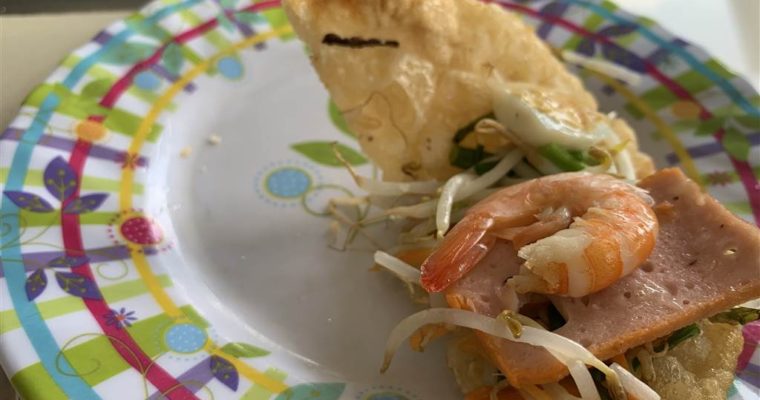
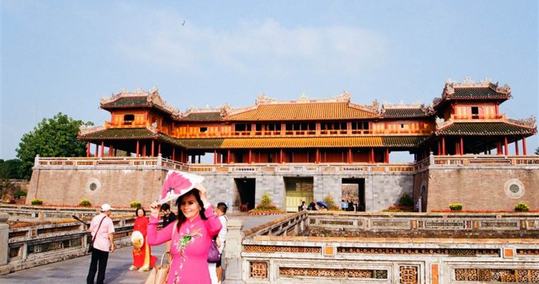
After lunch, I stopped by a convenient store to get some water. The young man there spoke good English, so I asked about transportation to the royal tombs. The ticket to the Imperial Enclosure enabled same-day admission to the three royal tombs of Tu Duc, Minh Mang and Khai Dinh. The young man told me that getting there by grab bike is near-impossible. I heeded his advice and decided to get a cab.
I headed back to the Imperial Enclosure area for a cab. With no Vietnamese in me, I showed the ticket pointing at the three royal tombs. A younger Vietnamese driver understood me and said he would take me. Soon enough I realized that he was going to take me to all three. In effect, I hired the cab for a whole afternoon. It was an SUV taxi. It felt luxurious, and although I was on a shoe string, I was happy to have a trustworthy person to take me to the outer areas of town. Surely, these places were quite far away from Hue proper.
The Making of the Royal Mausoleums
The royal mausoleums of the Nguyen Emperors lie in different locations south of Hue and the Perfume River. They are elegant compounds. Often constructed with elaborate garden landscapes, they served as the Emperors’ final resting place. An interesting fact is that they were built when the respective Emperors were still alive. Therefore the Emperors had a say on how these mausoleums turned out. As such, there are features in each mausoleum that reflect the Emperors’ characters, preferences and inclinations.
Tu Duc has spent several years of his life in this site. At the time it was known as Khiem Palace (khiem means humility, quite an important virtue in Asian cultures), a royal residence away from the Imperial Palace. After he passed away, this venue became his mausoleum.
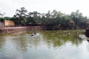
As with the Imperial Palace, the royal mausoleums had to meet geomancy specifications to ensure the greatest extent of auspiciousness. From the choosing of the location, to the natural environ, to the man-made efforts to shape the terrain into gardens and pagodas, the geomants and astrologists had a say in how the royal mausoleums were to be built. Usually, the site came with mountainous surroundings. At the least, there should be the backing of a mountain on its northern end. It was also important for a body of water facing it in the southern end. And indeed, in Tu Duc’s Mausoleum, an artificial lake was dug to meet this requirement of auspiciousness.
Tu Duc as a Nguyen Emperor
Tu Duc (ruled 1848-1883) was born Ngyuen Phuc Hong Nham. He was the second son of Emperor Thieu Tri. He was the 4th Emperor of the Nguyen Dynasty, having succeeded Emperor Thieu Tri. Because Emperor Thieu Tri passed over the eldest son, Hong Bao, to give the throne to Tu Duc, Tu Duc had to overcome significant royal feud in the early years of his reign.
In terms of political views, Hong Bao was moderate, whereas Tu Duc strongly opposed western influence and innovations, which was an ongoing tension point throughout the Nguyen Dynasty. Tu Duc, with his foundation in Confucianism, would be suppressing western religion throughout his reign.
Prince Hong Bao then became the leader of the opposition rebellion against Tu Duc and it has unsettled Tu Duc’s rule very early on.
Tu Duc showed exceptional scholarly promise at a young age. When he was just 13 years old, he was permitted to attend the royal escort of his emperor father to receive the investiture of the Qing Dynasty. He would become the most educated Nguyen Emperor. That seems to comport with his reign title, which, in Han Chinese, means “an inheritance of virtues.” And truly Tu Duc did bestow the country with a system of education and civil service examination. He was also an accomplished poet. He composed hundreds of poems in Nom (Chinese-transcribed Vietnamese) and Chinese. Some of these were on display at the mausoleum.
At 36 years, his was also the longest reign amongst all of the thirteen Nguyen Emperors. Indeed, those were also some of the most difficult times of the Nguyen Dynasty. Foreign invasions and internal unrest would become very thorny issues for Tu Duc. Tu Duc was also in ill health and died young. He had 103 wives and no son.
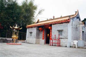
The Royal Mausoleum of Tu Duc (Lang Khiem)
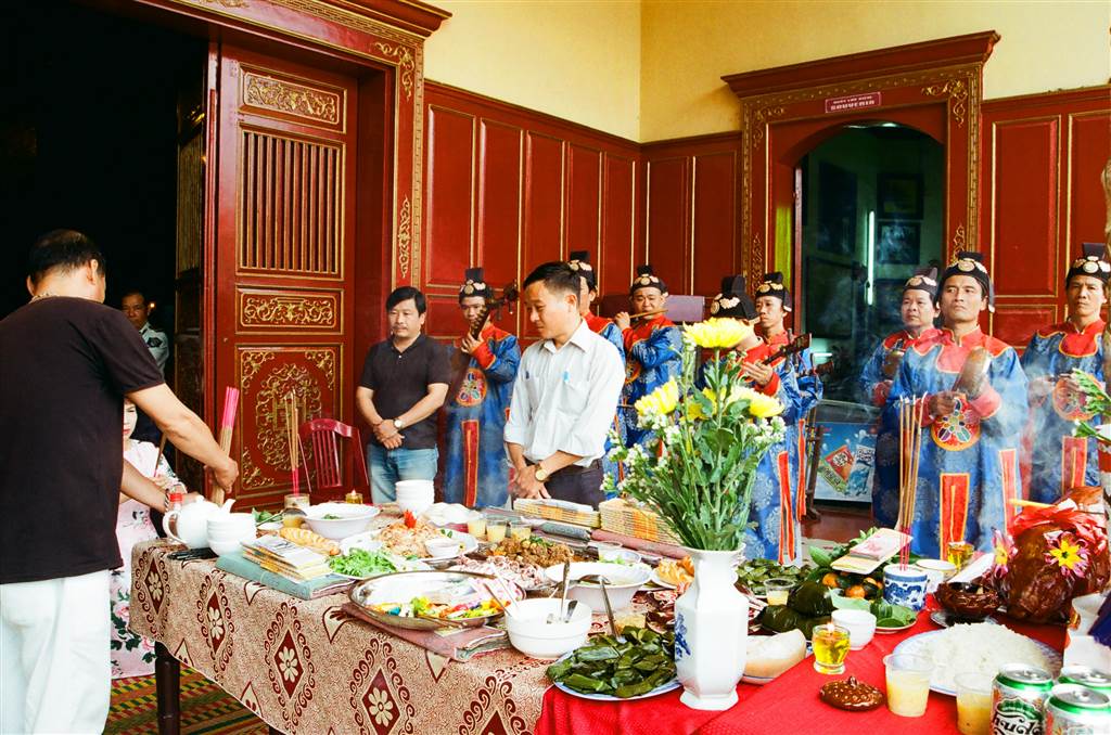
The Royal Mausoleum of Tu Duc is the final resting place for Tu Duc and his queen, Le Thien Anh. It was as well a place of ancestral worship. He had an adopted son, and the son’s tomb was also on site as the Boi Tomb. The adopted son, Kien Phuc, ruled very briefly in 1844.
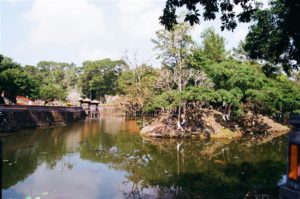
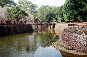
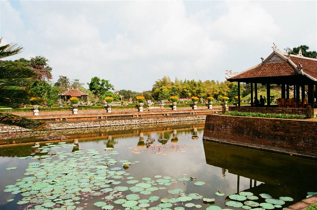
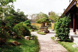
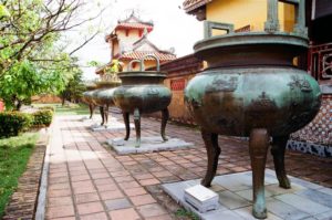
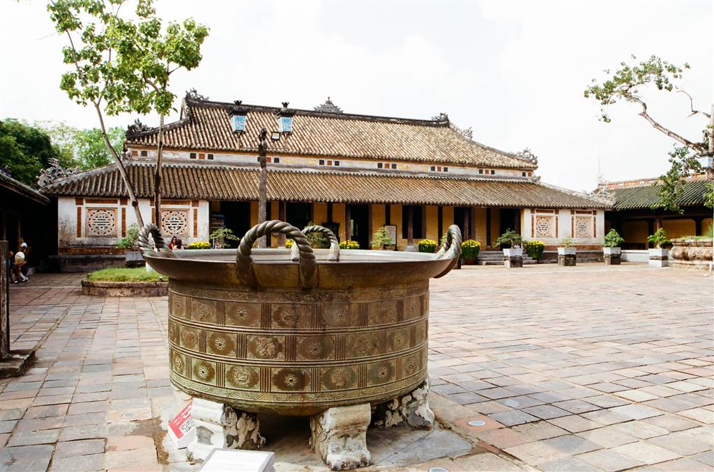
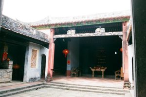
The Royal Tomb of Tu Duc impressed greatly upon me. It was spacious with generous foliage. The main path led me from the South Gate around the Luu Khiem Lake. This man-made lake was formed by digging around a small stream. With the soil and the ground dug up, water gathered and the ground formed the little islet, the Tinh Khiem Islet, within the lake. Tu Duc loved boating to this islet. In this landscape stand three bridges and a pavilion. The environment was tranquil and welcoming.
In 2009-2010, the German Conservation Restoration & Education Project worked together with Vietnamese experts to restore this royal tomb.
Photos: The Luu Khiem Lake at the Royal Mausoelum of Tu Duc
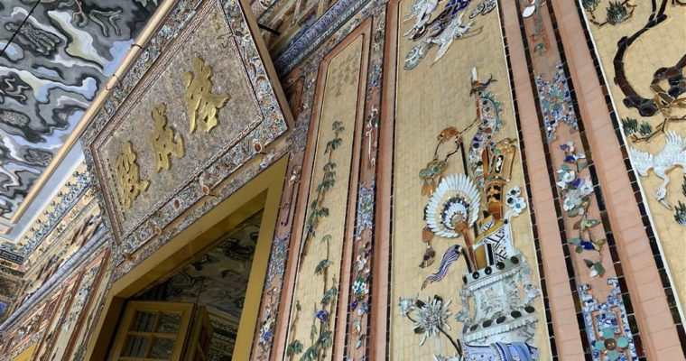
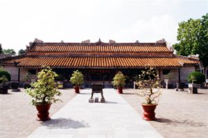
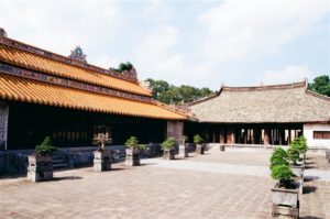
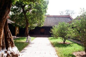
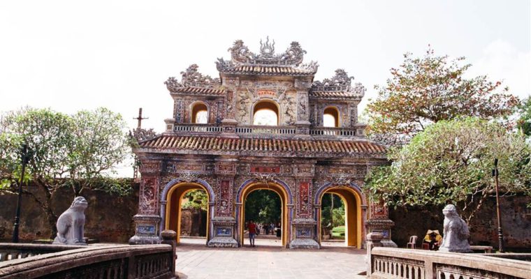
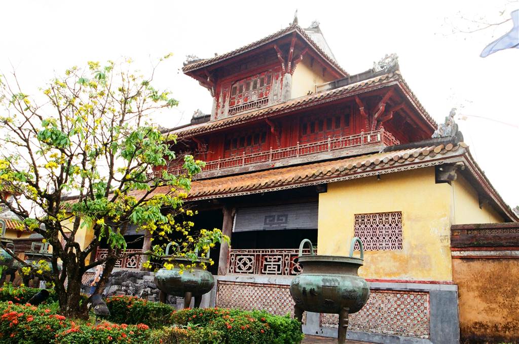
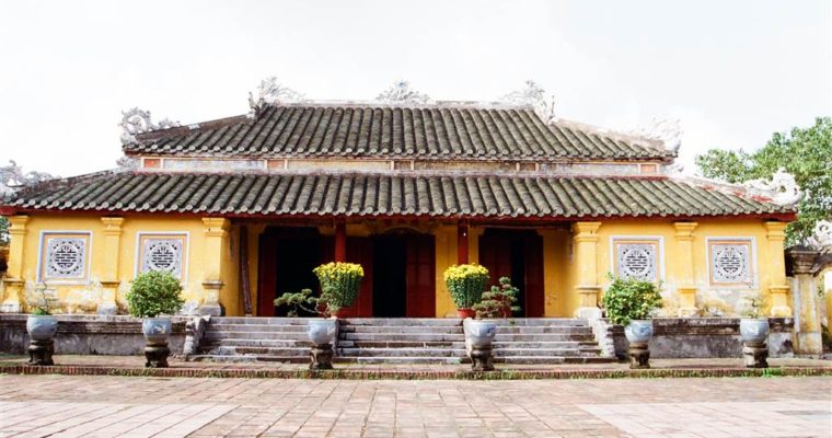
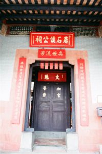
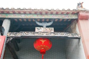
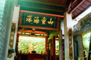
I then visited the Imperial Palace, Theatre, Palace of the Emperor’s Mother the Chi Khiem Temple and the Female Living Quarters. These structures were well-kept.
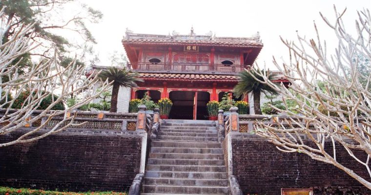
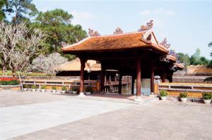
Photos: Proceeding from the Xung Khiem Pavilion, then Khiem Cung Gate, Hoa Khiem Temple, then Luong Khiem Temple
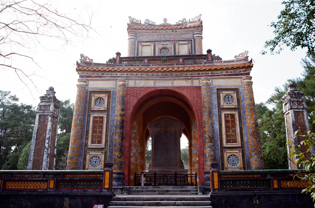
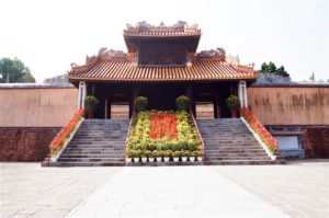
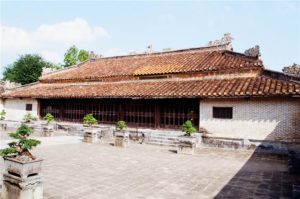
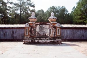
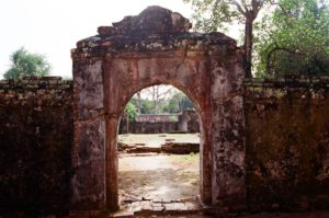
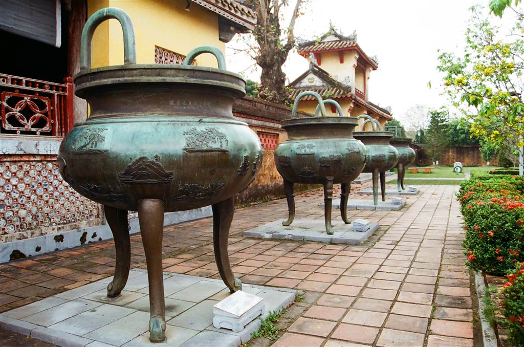
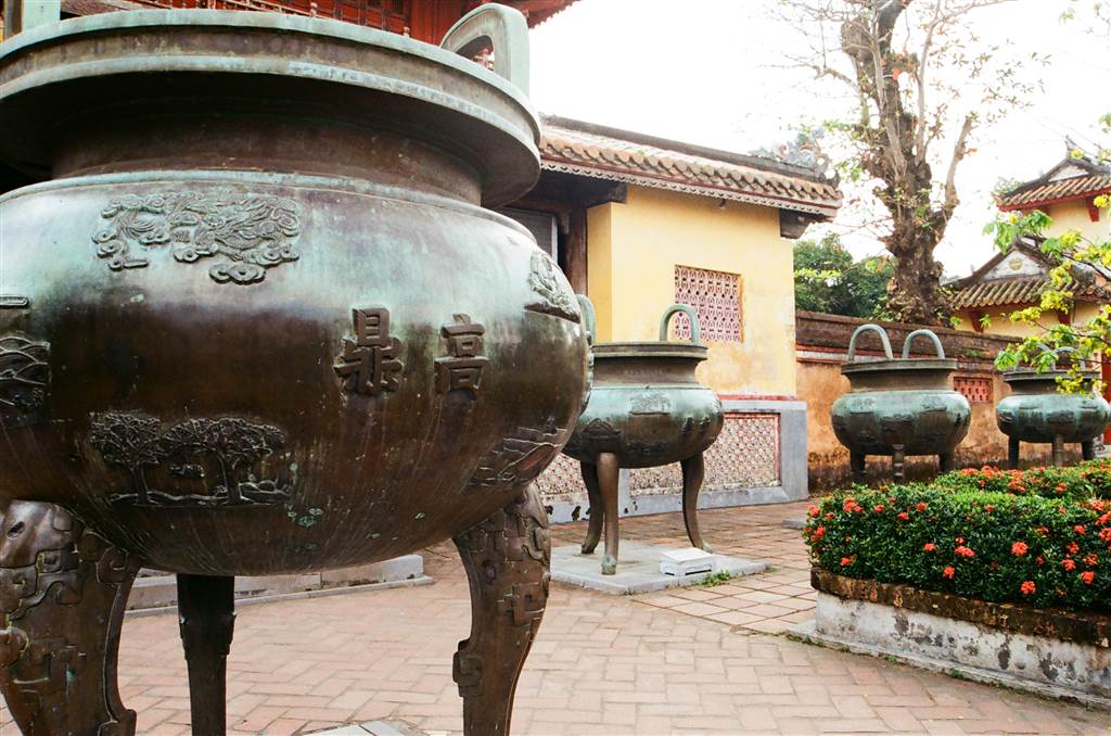
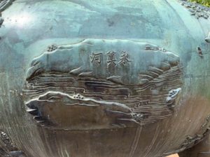
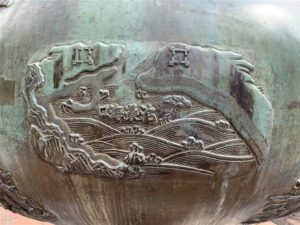
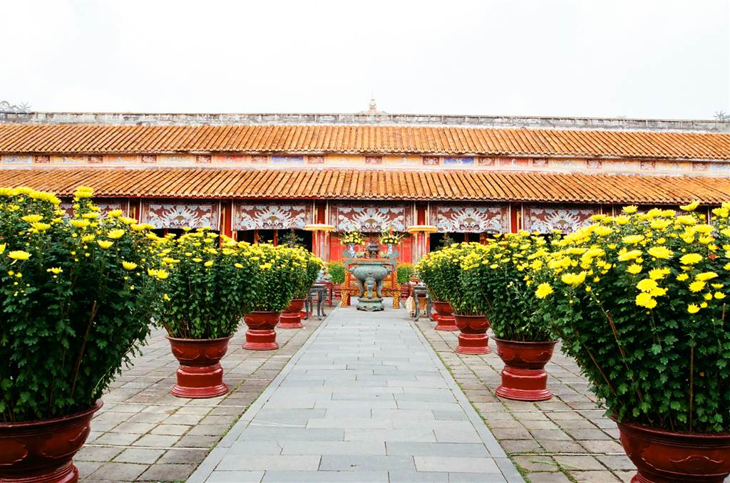
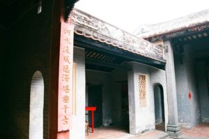
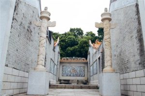
The burial area consists of the salutation court, the stele house, the Buu Thanh and Huyen Cung (where the Emperor’s remains were buried). A 1500-meter long wall surrounds the burial. All of the tombs were built of stones. Tu Duc’s stele is the largest stele in all of Vietnam.
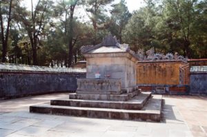
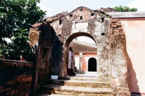
Photos: Proceeding to the Huyen Cung, the Emperor’s Final Resting Place
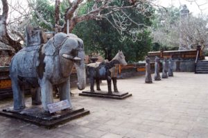
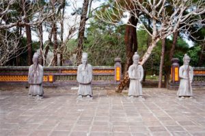
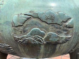
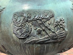
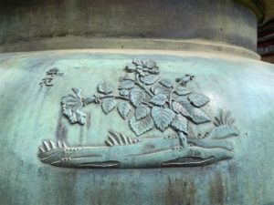
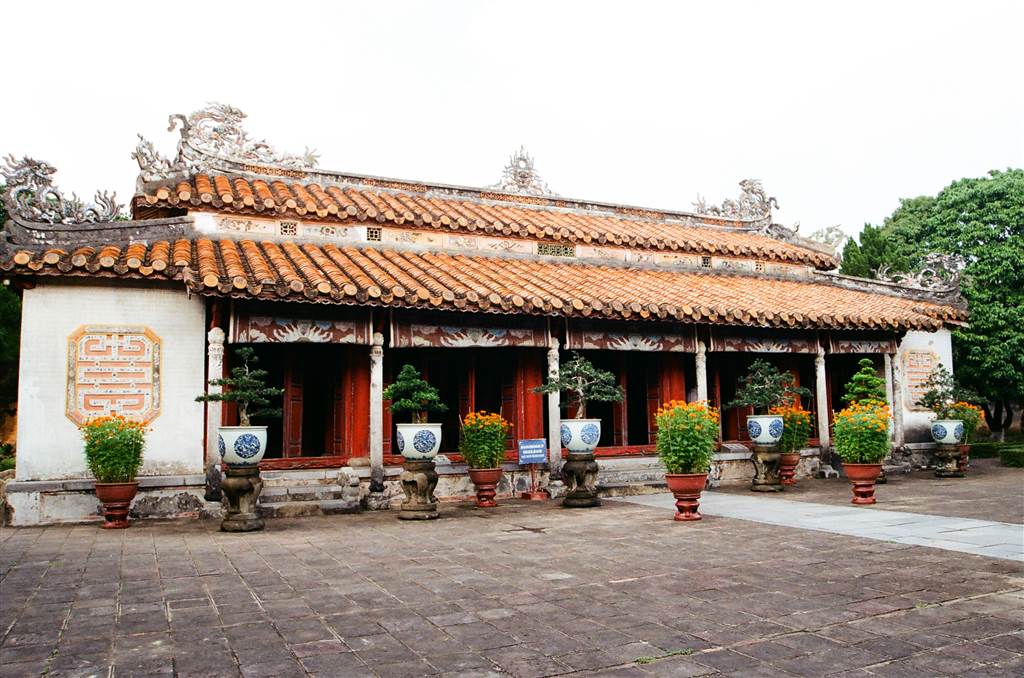
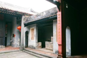
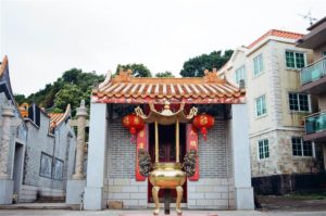
As with all the other royal mausoleums, stone entourage of mandarins, the imperial elephants and horses guard the Emperor’s final resting place.
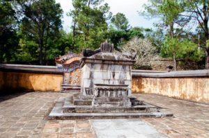
Photos: Queen Le Thien Anh’s Final Resting Place
Some Thoughts at the Royal Mausoleum of Tu Duc
Perhaps the tranquility I felt at the Tu Duc Mausoleum came as a stark contrast to the impressions I had of the Citadel and the Imperial Enclosure. When touring the Imperial Enclosure, one could not miss the stamp, or stampede rather, of history upon the Palace. You come upon the site of a ruins every so often. Or you come in face of an entire Purple Forbidden City area in a flat and open space, with a lone structure standing. I did lament quite a bit when I toured the Imperial Palace.
In Tu Duc’s Mausoleum, I felt a distinct sense of peace. Surely, he did labor a large population to build this out-of-the-way palace. I heard from a tour guide on site that many people caught water borne diseases, some even died, because they toiled in the exceptionally damp climate and soil in this area. But it was a marvelous resting place, believe it or not, not just for Tu Duc. It was a resting place for the tourist that just visited the war-tattered Citadel.
The people of Vietnam probably have very conflicting feelings about the Nguyen Dynasty. Certainly, the Emperors’ demands on luxuries and grandeur were taxing on the country’s resources and people (and the Khai Dinh Mausoleum would be the epitome of grandeur and wastefulness). The welfare of the people was always subject to the arbitrary will of the ruling king. While I do think that Vietnam is a much better place today, even under Communist rule, I did, at Tu Duc’s Mausoleum, admire the stately buildings and the classical history that they stood for. These relics are well-kept, with pots of flowers lining the pathways. Whether for the sake of tourism or not, I do think that the Vietnamese people respect this part of their past.
Any living soul or non-living spirit would be well-rested in this environment.
May Tu Duc’s memory live on.
Sources
Historical descriptions on-site.
The Lonely Planet on Vietnam.
The Wikipedia on Tu Duc.
Gallery: Views at the peaceful Royal Mausoleum of Tu Duc