Blog

From Big Wave Bay to the Pottinger Peak

From Big Wave Bay to the Pottinger Peak

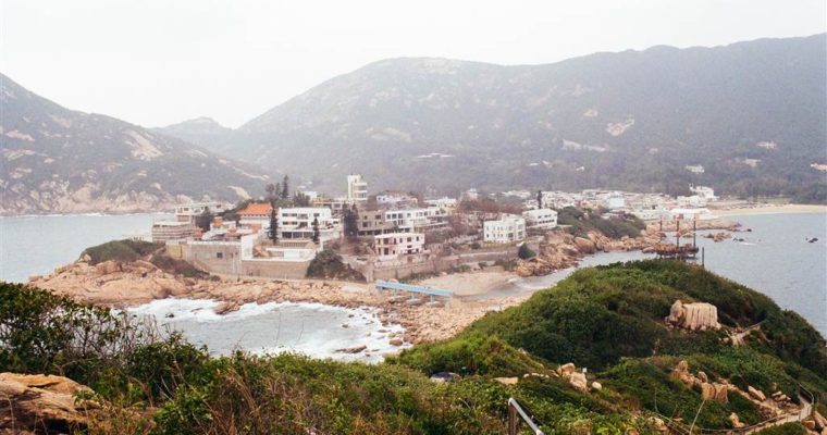
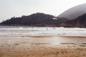
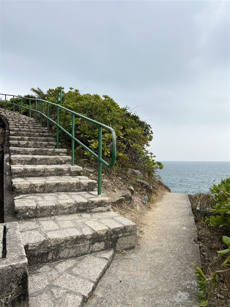
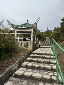
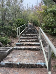
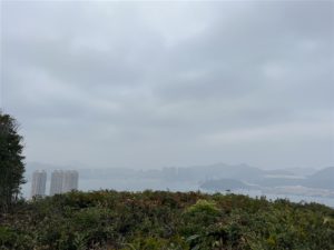
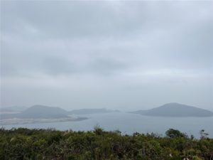
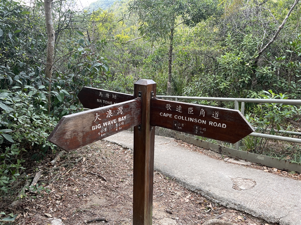
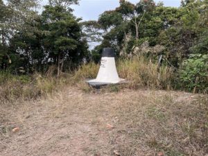
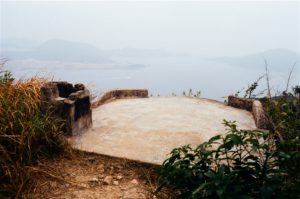
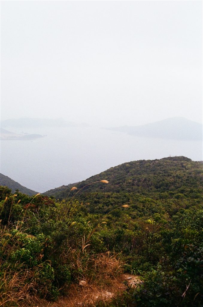
The plan of the day was first a walk in Shek O’s Tai Tau Chau (Urn Island), then head over to Big Wave Bay and ascend the Pottinger Peak via the Pottinger Peak Country Trail.  The walk ended in Chai Wan, when I found my 
Of the Man’s – The Man Lun Fung Ancestral Hall

Of the Man’s – The Man Lun Fung Ancestral Hall

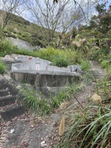
I have previously written on the Tai Fu Tai and Tung Shan Temple.  Both are landmarks that stand testament to the Man’s history in San Tin, Yuen Long.  Since there are more such heritage sites, I decided to visit San Tin again to seek out 

The Trails of Tsing Yi

The Trails of Tsing Yi

Tsing Yi lies on northwestern side of Hong Kong Island.  It is an island just west of Kwai Tsing.  I learned from a few sources on the internet that there are exceptional views of the Tsing Ma Bridge along a system of hiking trails in Tsing Yi.  I decided to have a walk there.

However, the views turned out to be disappointing, though the hike itself was quite good.

The Trails

There is a large system of hiking paths in the northwestern quarter of Tsing Yi.  I think it will take all afternoon to walk them all.  This day I spent two hours and forty-five minutes on this hike.

My walk proceeded as follows: Tsing Yi Nature Trail → Kwai Tsing Celebration of Reunification Education Trail → Pavilion 4 → Ching Hom Path → Pavilion 5 → Ching Hom Path → Pavilion 3 → Ching Hom Path → Ching Wan Path → Pavilion 2 → Pavilion 1 → Kwai Tsing Celebration of Reunification Health Trail → Tsing Shan Road West (the southern entrance of the Tsing Yi Nature Trail).

I entered the Tsing Yi Nature Trail on Liu To Road, right next to the Mount Haven bus stop.  The very first bit of this trail was actually going down.  Then on gentle incline I made my way to Pavilion 4.  Afterwards I explored this system of trails.  Having visited all five pavilions hoping for views, I walked to the end at Tsing Yi Road West.

The Views

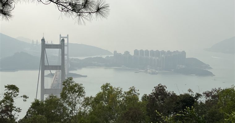
I am very disappointed in reporting that of all the five pavilions that I took pains to visit and explore, only at Pavilions 5 and 1 were there the views of the Tsing Ma Bridge.

Photo: View of the Tsing Ma Bridge at Pavilion 5

Photo: View of the Tsing Ma Bridge at Pavilion 1

Besides the fact that these views were far from unobstructed, the weather of the day was also not favorable to photo-taking.  Despite my best efforts and high hopes, these photos would have to do for this hike.

Photos: The pavilions on the trails.

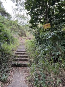
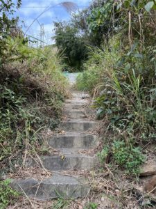
However, I must note that this trail system in Tsing Yi is overall well-kept and very pleasant to hike in.  The trails themselves are beautiful with tall pine and fir lining the sides.  They are also well-paved throughout.  I would say these trails are one of the most beautiful I have seen in Hong Kong.  The following are some of the views on the trails.

There were quite a bit of stairs if you are to visit all five pavilions as I did.  However, the flights were short each time and the hike was easy throughout.

About Tsing Yi

The name Tsing Yi brings forth the sweet memory of a sea fish that my family used to make often for dinner when I was young.  As its name suggests, the fish has green fin (“tsing” in Cantonese refers to a yellowish green color; “yi” in Cantonese means clothes).  In fact, this fish might have been a reason why this area of Hong Kong is called Tsing Yi.  They lived abundantly once, during the Qing Dynasty, in the waters of Tsing Yi.

Another explanation for Tsing Yi’s name is historical.  The area was once a thriving trading port.  Early inhabitants visited the Tsing Yi Port to trade textiles.  The word “Tsing” is similar to the word “weighing” in Cantonese.  And “yi” means clothes.  As such, Tsing Yi might have acquired its name meaning “the weighing of clothes,” having roots in the textile trade of ancient times.

The beautiful suspension bridge, Tsing Ma Bridge, acquired its name from the two locations that the bridge connects: Tsing Yi and Ma Wan.  It began services in 1997 and provides express throughway to the Hong Kong International Airport in Lantau Island.

Since the 1960s, the island had heavy industries and trading ports due to its favorable location at sea.  There were oil depot and shipyards in Tsing Yi.  Now, the heavy industries have moved to southern Tsing Yi.  The northern quarter of Tsing Yi has developed into residential use.

How to Get There

The closest residential development to the northern entrances of the trails is Cheung Hang Estate.  Look up buses that stop at Cheung Hang Estate.  I took 42C and it has stops on Liu To Road.

Sources

Historical descriptions on-site.

From Ki Lun Shan to Kwu Tung Reservoir

From Ki Lun Shan to Kwu Tung Reservoir

Ki Lun Shan is quite a popular trail in my neighborhood.  I have lived here for ten years and I finally mustered up enough courage to go.  As it turned out, it did take some courage to take down this trail, which is along the 

Anita

Anita

In its first week of showing, the film Anita has topped the charts for Hong Kong-made movies.  This was no surprise.  Hong Kong, being in its current state of affairs, is rightly in the mode of nostalgia.  Anita Mui Yeem Fong, the queen of Cantopop 

A Walk in Cheung Chau North

A Walk in Cheung Chau North

My friend and I love excursions in the islands of Hong Kong.  We have been to the Kwun Yam Wan Beach and the Mini-Great Wall Trail in southeastern Cheung Chau.  This time we opted for open views in north Cheung Chau.

Despite the myriad choices available, we had some trouble locating the right place for lunch.  We settled on the Eggenburg.  It is a B&B establishment and the restaurant offers both indoor and outdoor seating.  We had our bowl noodles there, with coffee to finish.  Then we walked back to the pier area on the Pak She Praya Road and headed toward Cheung Chau north.

We were looking to walk up the North Lookout Pavilion.

The Pak Tai Temple of Cheung Chau      

We arrived first at the Pak Tai Temple of Cheung Chau and stopped for a visit.  The Pak Tai Temple of Cheung Chau is the largest Pak Tai Temple in Hong Kong.  It was built during the 48th year of the Qianlong Reign (1783).

During the Qing Dynasty, Cheung Chau residents were mostly the fishermen of Huizhou, Chaozhou and Guangzhou.  In the 42nd year of the Qianlong Reign (1777), an epidemic broke out in Cheung Chau.  The residents invited the Pak Tai of Huiyang County to come and suppress the epidemic.  It was believed that the island then enjoyed years of stability after.  In 1783, Lam Yap-mo led the residents in the effort to fundraise for the construction of this temple to commemorate this experience.

Pak Tai is the deity for the sea.  He was the resident deity from the north, but because the waters flow from the north to the south, the southern people believe that he protects them from water-related disasters.  According to the source I found, the origin of Pak Tai worship was astral worship.  But it eventually evolved, with personalization of Pak Tai becoming the object of worship.  As a folkloric figure, Pak Tai was believed to be a royalty that reached nirvana after long years of monkhood.  The king then gave him the northern land to guard.

There are three halls in the main axis of the temple with two rows on the side columns.  There is a courtyard at the back of the temple as well.  The temple is indeed more elaborate than other old temples of Hong Kong.  There are many beautiful features inside the temple, including plaques, incense burners and arched gateways.  The temple undertook the last restoration in 2003.

My friend, who wanted to burn incense, told me that the temple asked for quite a bit of money for a simple act of incense-serving.  I did observe that the temple is a busy one.  In Chinese, when we say “prime incense-burning,” that means the temple has many dedicated attendants.  This certainly was one.

Finally, one would not miss the significance of Pak Tai Temple in the famous Cheung Chau Jiao Festival, the best-known feature of which are the parade and the bun grabbing contest.  Needless to say, the Pak Tai Temple is a significant part of the festivities for Buddha’s Birthday.  Part of the Jiao events take place at the plaza of Pak Tai Temple here.

The Trail

We exited the temple and went around to the back.  We passed by the Chung Shak Hei (Cheung Chau) Home for the Aged.  On a gentle incline we walked on the Cheung Chau Family Walk to reach the Pak She Cheung Lee Park.

Photos: The Chung Shak Hei (Cheung Chau) Home for the Aged, where the trail begins.

Right photo: reaching the Pak She Cheung Lee Park.

We followed the signs for the North Lookout Pavilion.  Soon, we saw a park kind of place, with some sort of a gate.  We went through that park and at its end there are stairs that will lead you to the North Lookout Pavilion.

Photos: follow the sign for the North Lookout Pavilion.  You will then see a park (middle photo).  Go through the park and you will see the path that leads you to the North Lookout Pavilion (right photo).

If you follow this trail as we did, the North Pavilion Lookout shall not be the final stop.  It lies at the first third of the way between Cheung Chau proper and Tung Wan Tsai (Coral Beach).  In fact, the most scenic part of the trail begins at the North Lookout Pavilion, which is the highest point on this trail.

The steps are downward from the North Lookout Pavilion but the path presents open views of Tung Wan Tsai, an unpopulated small but pristine beach, on the northeastern tip of Cheung Chau.

Looking further on, the establishments on the Cheung Chau tombolo along Tung Wan on the east are also exceptional.  The Kwun Yam Wan and its beach are also within sight.

Photos: panorama views of the Cheung Chau Tombolo in the east.

Views of Cheung Chau’s northern coast are beautiful.

We walked down to Tung Wan Tsai and stopped only briefly because the air was very chilly there.

Then we came back up on the same trail and exited on Cheung Chau Family Walk with the Civil Aviation Department facility on our right.

Once we were back on ground level, we passed by the beautiful, again unpopulated Siu Kwai Wan Beach.

Again, we only spent a few minutes there because it was cold.  We were also on our way to get our treat at a waterfront café.

On this trail we really took our time so maybe we spent two hours.  Any excursion in the outlaying islands is a whole-day affair, we were in Cheung from before noon and we left on the 5:45 ferry back to Central.  It was a wonderful and relaxing day.

How to Get There

At Central Pier No. 5, take the ferry to Cheung Chau.  See schedule here.

Sources

Chinese Temples Committee on Pak Tai Temple.

From So Kwun Wat to Tin Fu Tsai via the Tai Lam Chung Reservoir Mountain Bike Trail

From So Kwun Wat to Tin Fu Tsai via the Tai Lam Chung Reservoir Mountain Bike Trail

I suffered from a pretty significant injury at the hike at Kai Kung Leng.  I walked this trail in order to re-train my knees.  The first part of this trail consist of the main part of the Tai Lam Chung Reservoir Mountain Bike Trail. I 

Geopark Island Hopping – Kat O (Crooked Island)

Geopark Island Hopping – Kat O (Crooked Island)

Kat O was part of the Hong Kong Government’s celebration of the 10th Anniversary of the Hong Kong UNESCO Global Geopark’s inclusion into the Global Geopark Network.   The celebration comes with special arrangements for ferry transport, storytelling by the natives of the islands, interesting workshops, 

Geopark Island Hopping – Ap Chau (Duck Island)

Geopark Island Hopping – Ap Chau (Duck Island)

In celebration of the 10th Anniversary of the Hong Kong UNESCO Global Geopark’s inclusion into the Global Geopark Network, the Hong Kong Government has organized a number of activities in various interesting Geopark locations.  The activity period comes with special arrangements for ferry transport, storytelling by the natives of the islands, interesting workshops, lion dances and other celebratory initiatives.

The activities for Kat O (Crooked Island) and Ap Chau (Duck Island) have already concluded in November.  My father and I went island-hopping with a group of his friends.  We visited both Kat O and Ap Chau on this day.

The itinerary was to first meet at the Ma Liu Shui Pier (note that the boarding point for the Kat O ferry is about a hundred meters toward the Shatin direction).  The ferry departs at 9am sharp.  The ferry would first make a stop at Kat O, then to Ap Chau.  We skipped Kat O on our way there, and boarded off the ferry at Ap Chau instead.  At 11am we were at the pier in Ap Chau and stayed there until the ferry would take us to Kat O at 12:30.  For the rest of the afternoon we stayed in Kat O, which is a significantly larger island, until the ferry would leave for Ma Liu Shui at 4:30pm.

Views of Ap Chau from Afar

Both Kat O and Ap Chau are islands on northeastern New Territories.  Ap Chau is the outlaying island closest to China.  Therefore at most points in the island, one can observe the well-developed, busy port of Yantian, Shenzhen.  At a mere 0.04 square kilometers, Ap Chau is also the smallest inhabited island in Hong Kong’s UNESCO Global Geopark.

Ap Chau is called Duck Island for a reason.  The landscape of the island looks like a duck lying flat on its tummy.  In fact, I thought it looked more like a roasted duck than a living duck.  Even from afar, you can tell first the sea arch that makes the Duck’s Eye (more below).

There are also views of other smaller, uninhabited islands nearby.  There are the Duck’s Egg and the Small Ap Chau within view.

The Landscape of Ap Chau

There are some remarkable natural features of Ap Chau that are observable even as we approached the island from the ocean.

Photo: the small sea arch on the right is the Duck’s Eye, and the large fracture on the left is the Duck’s Neck.

The first one is what people call the Duck’s Eye.  According to the pamphlet on Ap Chau, sea arches are formed when “the weakest point of a coastal cliff is eroded into a cave.  As wave erosion continues, the cave deepens, eventually forming an arch.”  The Duck’s Eye is the most visited site on the island.  Literally every tourist rushed there to take photos.  As such, prepare to queue for long lines there.

There have been warnings against visitors climbing up to the roof of Duck’s Eye for photos.  The arch continues to erode and the top part is weathering away constantly.  Any weight on the arch could cause it to collapse eventually.  Yet we still saw people doing that.

After visiting the Duck’s Eye, visitors can backtrack a little and visit the Duck’s Neck.  Geologically, the Duck’s Neck phenomenon is a fracture zone.  “The rocks are fragmented and easily weathered and eroded, resulting in a narrow channel.”

The island is full of reddish-brown sedimentary rock called “breccia.”  The breccia is formed when the sediments in a sheet are cemented by calcareous minerals.  High pressure from layers of later sediments solidify them.  The surface of the breccia is coarse, showing the angular rock fragments that form them.

The reddish brown color indicates an oxidation process in a semi-arid environment, perhaps some 100 to 65 million years ago.  I believe it is a similar formation process as the red earth of Chek Chau.  The breccia is rare in Hong Kong.  You can see them in Kat O, Ap Chau and a few other islands in Starling Inlet.  I believe I have come across them in Ma Shi Chau.

Finally, outside the Duck’s Eye lies the wave-cut platform.  It is formed by continuous wave erosion of the rocks in the intertidal zone.  The wave carry the rocks away, “eventually leading to the formation of sea cliffs and a flat area above the water surface.”  The wave-cut platform protects the cliff by reducing the force of the sea waves, thus slowing down the erosion of the cliff.

After lining up for photos in Duck’s Eye, I hurried to the only high point on the island for open island and sea views.  The highest point of the island is a mere 28 meters.  You will see the stairs up behind the True Jesus Church.  It took just a few minutes to walk to the viewing point.  I saw great views there.

The Story of Ap Chau

The Ap Chau Story Room stands at the former site of the Ap Chau Fishermen’s Children Primary School.  It is a great pity that the Ap Chau Story Room was closed when I visited.  I will draw on the pamphlet on Ap Chau and the guided tour I heard on the ferry for the island’s story.

The village in Ap Chau had its heyday during the 1960s and 1970s.  The population then were more than a thousand strong.  Villagers were once fishermen.  It was around this time that missionaries of the True Jesus Church from Taiwan approached the island.  They promised the villagers that, if they were all to turn to Jesus Christ, the missionaries would provide economic assistance.  One of the initiatives was to provide housing for the whole village.

The Ap Chau Fisherman’s Village consist of four two-storey blocks and 48 units.  They were built in 1961.  Because the missionaries of Taiwan built these for the fishermen at the same time, these buildings in the island had a uniform design.

The tour guide that introduced this story said that the Christian tradition remains strong in the island today.  Unlike many other former sea-faring islanders, the villagers of Ap Chau do not worship Tin Hau, the Goddess of the Sea.  As such, there is no Tin Hau Temple in Ap Chau.  In fact, the village head has complained that some people come to the island and do odd things like blowing trumpets and worshipping deities in the open areas.  He does exercise his power in forbidding these kinds of practices on Ap Chau.

Currently, there are about twenty families still living in Ap Chau.  Like so many of Hong Kong’s villages, many villagers gradually moved out of their rural homes in search for better education and opportunities in the urban areas.  Some have gone abroad to live as well.

The Ap Chau Story Room opens only on Sundays and public holidays.

Finally, the celebration of the Hong Kong UNESCO Global Geopark will include a guided tour of Sam Mun Tsai and Ma Shi Chau on the weekend of December 18.  I highly recommend doing this guided tour.  Without proper training it is very difficult for anyone to find, recognize and appreciate the special geological features in Ma Shi Chau.

Sources

Guided Tour on the Ferry.

Pamphlet on Ap Chau, Agriculture Fisheries and Conservation Department.

Hong Kong UNESCO Global Geopark 10th Anniversary Website.

How to Get There

Ferries depart at the Ma Liu Shui Pier Landing No. 3 for Kat O and Ap Chau.  The easiest way to get there is by walking about 15-20 minutes from the University Station on the East Rail Line.  Again, this landing point is about a hundred meters toward the Shatin direction from the Ma Liu Shui Pier.

The tickets to Kat O and Ap Chau cost $90 return, and $45 one way.  The staff will check your tickets when you leave Ma Liu Shui and when you do your return trip back to Ma Liu Shui.  There is no ticket checking between Kat O and Ap Chau.  People usually do visit both islands in one go.  Please visit (and study carefully) the ferry schedule for Ap Chau.

See also the same website for boarding for Kat O and Ap Chau at the Sha Tau Kok Pier instead.


Kai Kung Leng

Kai Kung Leng

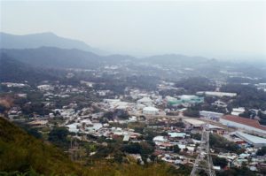
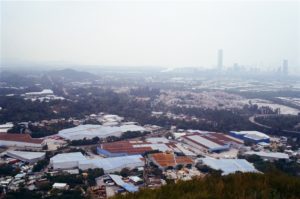
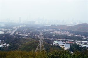
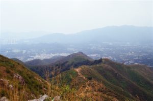
Located within the Lam Tsuen Country Park, Kai Kung Leng prides the highest peak in northwest New Territories after Tai Mo Shan.  With its highest peak at 585 meters, the mountain range provides an exceptional opportunity to view the landscape of northern and northwestern New