Blog

The “Skyward Crocodile” of Tsuen Wan on MacLehose Trail Section 9

The “Skyward Crocodile” of Tsuen Wan on MacLehose Trail Section 9

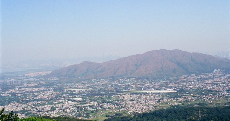
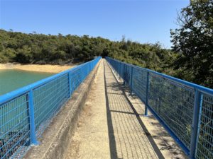
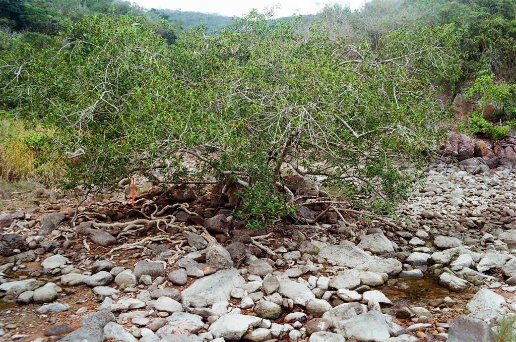
This location along the MacLehose Trail Section 9 has the somewhat unusual name of “the Crocodile.”  The locals call it the “Skyward Crocodile” and I am not able to find its English name.  Nor is there an explanation for why it is named as such. …

The Wu Tip Shan Path of Fanling

The Wu Tip Shan Path of Fanling

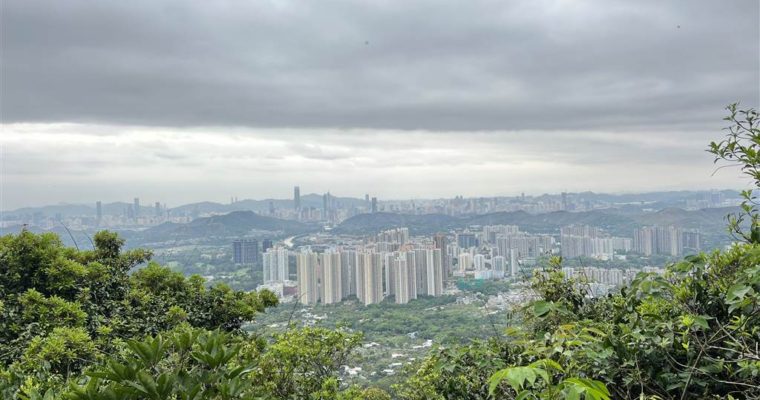
The weather has not been too good lately so I opted for a short hike in my neighborhood.  The Wu Tip Shan Path of Fanling serves a good purpose.  I clocked in some pretty good exercise and saw some decent views on the way. Entrances …

The Jubilee Battery

The Jubilee Battery

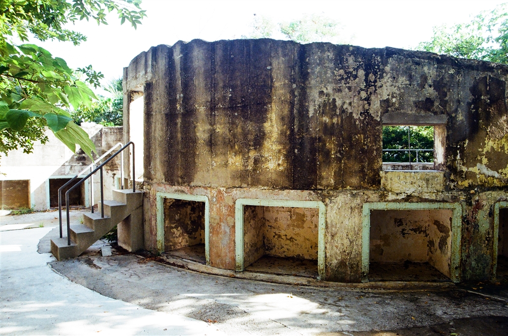
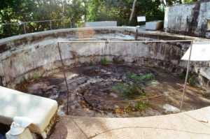
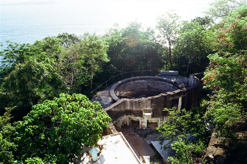
It took me a while, with many confusing turns, before I found the Jubilee Battery.  For there is only one ruins of the battery that is accessible by proper roadways.  The Jubilee Battery’s Gun Emplacement 2 lies within the University of Chicago Francis and Rose Yuen Campus in Hong Kong on Victoria Road.

The Jubilee Battery’s Role in WWII

During the latter half of the 1930s, the British determined that “if the defence on the mainland were overcome, and retirement to the Island of Hong Kong took place,” there was such need to build a battery on the northwestern coast of Hong Kong Island.  The British then built the Jubilee Battery to serve this purpose.  It replaced the former Mount Davis Practice Battery of the 1900s.  Together with the long range Mount Davis Battery up on nearby Mount Davis, the Jubilee Battery was part of the Western Fire Command.  Its specific role was for counter bombardment.

The Jubilee Battery had engaged in a battle in the defence of Hong Kong against the Japanese invasion of 1941.  The 26th Coast Battery, 12th Coast Regiment, Royal Artillery was in command here.  On 11th December, 1941, both the Jubilee Battery and Aberdeen Battery directed fire against the Japanese attempting to land on Lamma Island.  As a result of this battle, this battery and the Mount Davis Battery sustained multiple bombing from the Japanese forces.  Before Hong Kong’s surrender on 25th December, 1941, the officers blew up this facility,   This would prevent its use by the enemy after.

The Jubilee Battery acquired its name from the main road above, as it used to be Jubilee Road.  The main road is now Victoria Road, but the name of the battery remains.

Layout of the Gun Emplacements

The Jubilee Battery consists of three 6-inch gun emplacements.  Two of the guns came from the nearby Belcher’s Battery.  The other one came from the Pak Sha Wan Battery.

According to historical descriptions on-site,

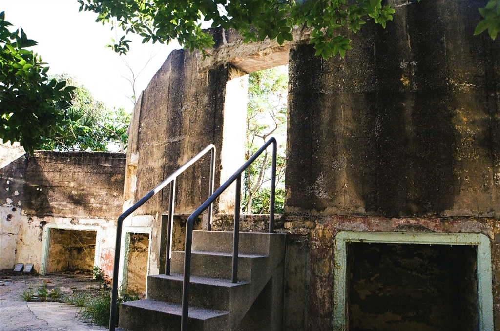
Each emplacement consists of a circular reinforced concrete structure for mounting the coastal gun, and adjacent Above-ground Magazine and Underground Magazine for the protected storage of shells and cartridges. 

The layout of the three Gun Emplacements takes advantage of the terrain in order to achieve the widest possible arc-of-fire from right to left.  The guns were positioned in such a way that the blast of a firing gun at one Emplacement would not endanger the crews at the other Emplacements. 

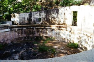
It is of some importance that the outer curved wall of Gun Emplacement 2 was demolished due to a mistaken assessment of its role.  According to descriptions on-site, “an initial site investigation in 2013-2015 led to the conclusion that the outer curved wall of the No.2 Gun Emplacement was part of a later-added servants’ quarters.”  As a result, this outer curved wall was demolished during the construction of the University.  Together with the inner curved wall, the outer curved wall was meant to form a protected corridor for the gunners that carried, stored, and delivered ammunitions.  It served an important role in the defence of Hong Kong during WWII.  The best that can be done now is to just conserve the footprint of the wall.

Photos:  These ten rectangular storage recesses were “expense lockers,” for separate storage of shells and cartridges.

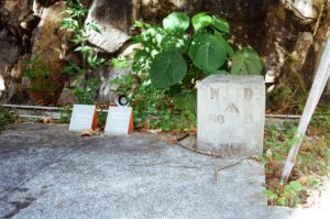
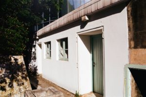
Photos: Left – The boundary marker for a military structure; Right – Above-ground Magazine with 3 compartments, for separate storage of fuzes, shells and cartridges.  Mental ventilators above maintain a stable environment in Hong Kong’s humid and hot weather.

Gun Emplacements 1 and 3

The layout of Gun Emplacements 1 and 3 are very similar to Gun Emplacement 2 as described above.

Despite my best efforts, I was not able to find my way to Gun Emplacements 1 and 3, which, together, take up a much larger area of the defence system of the Jubilee Battery. They lie further west and southwest of the restored Gun Emplacement 2, just about 20 to 30 metres above sea level.  Besides the gun emplacements and the magazines, the system also consisted of tunnels and a searchlight shelter.

According to Ko Tim Keung & Jason Wordie, “some areas of the battery lie within a restricted area, and the extant ruins outside the restricted area are very heavily overgrown.  This location should only be visited by the very keen and adventurous.”  At 143.

Early sources (dating the 1990s and early 2000s) suggest that there is a path that connects to Victoria Road.  However, the government has closed the road access to Gun Emplacements 1 and 3.  That explains why I could not find my way.

In terms of heritage conservation, neither has the government given the Jubilee Battery a grading as historic buildings.

A Walk in the Vicinity

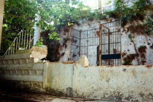
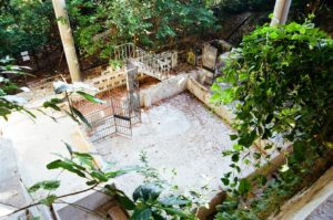
Besides the Jubilee Battery, part of the structures of Block C are also publicly accessible nearby.  Block B and Block C are both part of the Jubilee Battery.  Block B lies within the University structure.  During the turbulent times of 1960s, the Hong Kong Police used them for group confinement.  They kept the leftist elements of Hong Kong here to prevent spying against the British administration.  For some time in the 1990s the police used it for the protection of witnesses.  The metal grille enclosure remains a testament to the stark reality of police practices even during the British times.

 Finally, I also took a further walk to visit the Sai Wan Swimming Shed nearby.  Another suggestion is to walk up Mount Davis to see the Mount Davis Battery.

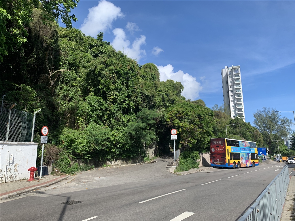
Photo: Across the street from the University of Chicago Campus, this is the road leading to the Mount Davis Battery.

How to Get There

Bus Routes 1, 43M, 47P, and 971 stop at the Mount Davis Path stop.  Once off the bus, enter the public areas of the University of Chicago campus.  Access to Gun Emplacement 2 is open to the public year-round, perhaps subject to Covid restrictions, if there is any.  Walk through the open area, and head toward the direction of the ocean.  You will have a bird’s eye view over the Jubilee Battery Gun Emplacement 2 there.

The university does offer a tour of the other areas of historic interests within its building.  That includes the infamous detention center with its cells, that is Block B.  Visitors can sign up for it normally, but I am very sure that has ceased due to the pandemic.

Sources

Historical Descriptions on-site.

The best and most thorough discussion I managed to find online of Gun Emplacements 1 and 3 are gwulo.com on the Jubilee Battery, here.  However, the government has closed access to the entry path that this entry shows.

Ko Tim-keung & Jason Wordie, Ruins of War: A Guide to Hong Kong’s Battlefields and Wartime Sites (1996) at 143 – 147.

The University of Hong Kong, Finding a Partly Forgotten Urban Gem, Decoding Some Enigmas of the Jubilee Battery, 25 April 2001.

The Siu Lo of Yuen Long

The Siu Lo of Yuen Long

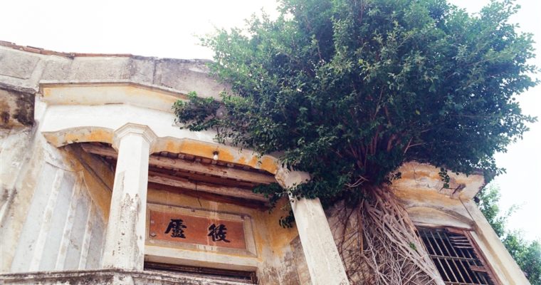
Update as of August 2023: The area of the heritage site has been blocked off from visits. It is likely due to the revitalization and construction work that was approved. The old trees with their aerial roots that hovered over the building have been removed. …

The Lau Village Houses in Tung Shing Lei

The Lau Village Houses in Tung Shing Lei

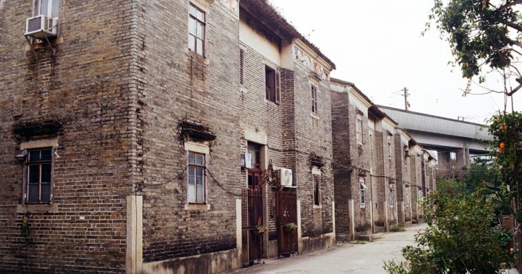
I was intrigued by the Lau Village Houses in Tung Shing Lei, Yuen Long after seeing photographs online.  Upon some research, I learned that the property was the subject matter in a highly contested court case.  Therefore I will draw on the case to report …

A Failed Attempt at Reaching Hung Shek Mun

A Failed Attempt at Reaching Hung Shek Mun

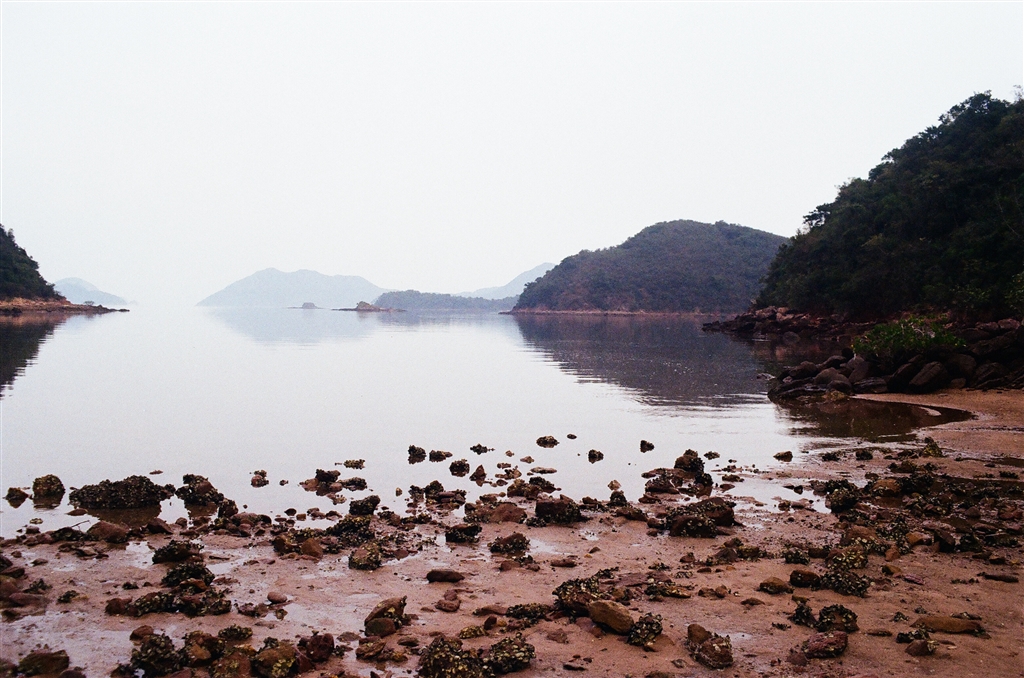
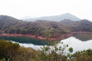
Ever since I visited Chek Chau (Port Island), I have been fascinated by sceneries of red earth in Hong Kong.  From fellow bloggers I learned that the seaside at Hung Shek Mun presents stunning views of such.  I debated for quite a while, because the sources I found warned hikers that it takes hiking a very difficult trail to get to Hung Shek Mun.

Hung Shek Mun

Located within the Yan Chau Tong Marine Park (Double Haven), Hung Shek Mun lies on the northeastern coastline of Hong Kong.  Hung Shek Mun Tsuen is an abandoned village on this route.

I have discussed how the earth develops its red hue in my entry on Chek Chau (Port Island).  Given the proximity of Chek Chau and Hung Shek Mun, I would assume that it is the same geological process that formed the fantastic views of red coastline in Hung Shek Mun.

The Research

There are two ways to get to Hung Shek Mun. From Wu Kau Tang via the Double Haven Country Trail, there is a southern route that begins in the former village of Ha Miu Tin Tsuen Village.  You will have to climb Tai Tong for this trail, then hike on the Plover Cove Reservoir Country Trail.  My research seemed to suggest that this is very difficult to follow with a pretty high chance of getting lost.

On my hiking app, I learned about the northern route via Wong Chuk Chung Road.  It shows a clear path and the hiking app says that it takes 2.5 hours to walk this way.

I did take a good long time to think but decided that I could try this northern route.  For the record, on this first attempt I did not make it out to Hung Shek Mun in the end.  And with the reasons that I state below, I shall not do this trail again either.  Therefore Hung Shek Mun will be taken off my bucket list for now.

The Trail on Wong Chuk Chung Road

I chose this northern route because it is clear.  It is called Wong Chuk Chung Road.  From Wu Kau Tang I walked passed the Miu Sam Stream on the Double Haven Country Trail.  Before reaching Sam A Chung, there is a path on the right with this following warning sign.  The government warns hikers not to take this trail because it is dangerous.  I was determined, however, so I headed on.

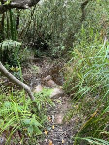
To be fair, the first parts of the trail on Wong Chuk Chung Road were not too bad.  I proceeded steadily, and noticed some pretty nice views on the way.  If you follow the hiking ribbons carefully, you would not get lost, although you should always have your hiking app on.

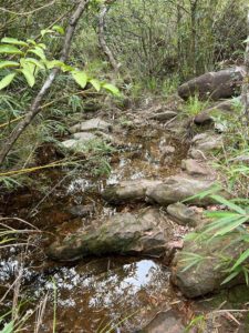
I did notice that it became more difficult as I hiked further.  For example, I did have to cross some four to five streams on the first third of Wong Chuk Chung Road.  In one of them I did slip and fall.

My spirit was good for the first three hours of this hike.  I estimated that, if the hiking app said it takes 2.5 hours, it would take at least 3.5 hours for me.

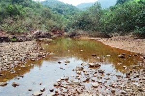
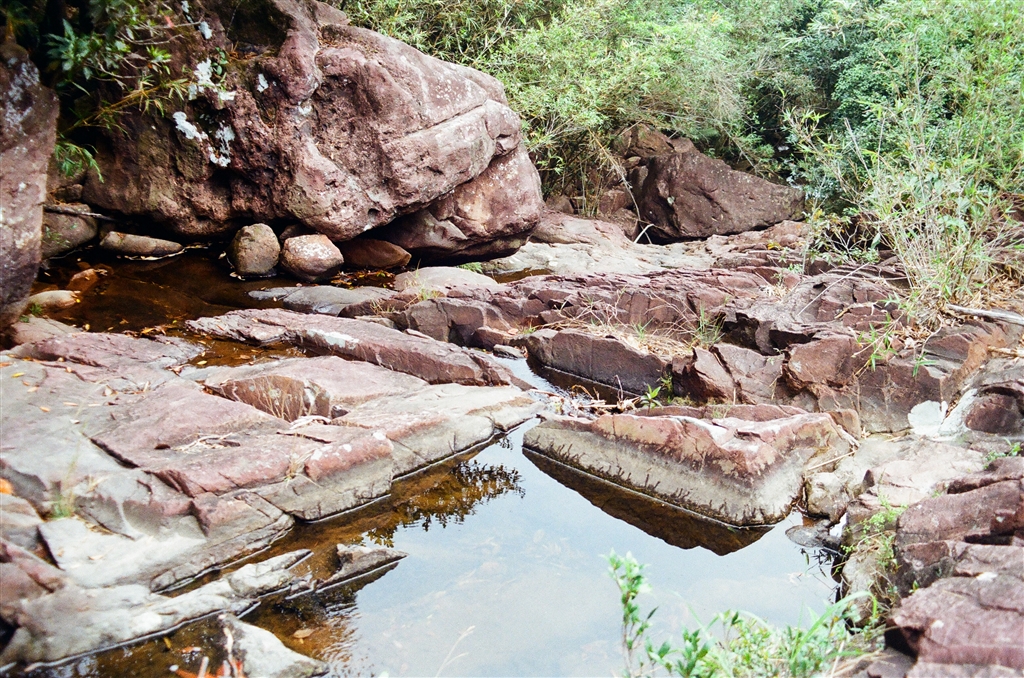
Surely, there were some views to boast of on this trail.  There is a stream perfect for a rest stop on the way.  It is reminiscent of the Miu Sam Stream on the Double Haven Country Trail.
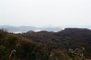
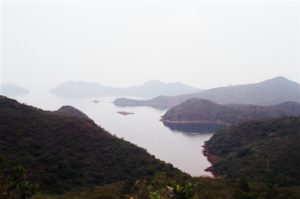
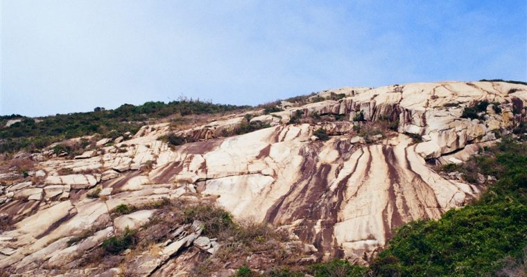
This is the view of the islands and the coastline on the northeastern waters of Hong Kong.  Perhaps this is also the highest point on this trail.

Photos: Panoramic views of the coastline of Hong Kong’s northeastern waters.

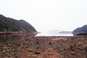
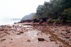
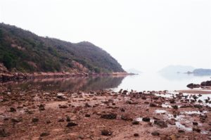
I walked on and crossed two bays.  Surely, these views of the red earth are satisfactory too.

At about the fourth hour after I started in Wu Kau Tang, I sensed a notable decline in my spirit.  On the Wong Chuk Chung Road part of the trail, I noticed that no matter how far I thought I have walked, I barely moved any on the hiking app.  At the fourth hour, I estimated that I have finished about 9/10 of the way to Hung Shek Mun.

A Good Decision

It looked to me that it would take another hour to finally get to Hung Shek Mun, but by then it would also take at least 5 to 6 hours for me to walk back to Wu Kau Tang.  I would not be able to finish this hike before dark if I decide to push on.

My decision was to turn back at the 4th hour.  And I did make it back to my car before sunset.

This would be the first time that I have given up and turned back in all the hikes I have done since hiking regularly in 2020.  And the lesson learned was that it is certainly okay to do so.  Whenever I decide to do longer trails, the most important concern is whether I can finish the walk before it gets dark.  Because Wong Chuk Chung Road is not a standard hiking path, hiking back in the dark would present exceptional risks.
Some Suggestions for Fellow Hikers

The Wong Chuk Chung Road is not a standard trail and there are some dangerous parts on the trail.  Therefore, please do not go alone.  It is better if you have a guide who had prior experience in going to Hung Shek Mun.  Yet even with an experienced guide, you yourself should also be experienced in hiking.  Hung Shek Mun is not a destination for beginners.

The distance would be somewhere between 15-17km return.  On Wong Chuk Chung Road, the paths are very narrow, and lined with scratchy shrubs on many sections.  Therefore, protect yourself with hat, sunglasses, long sleeves, gloves and long pants.  Hiking boots are necessary as well because you will tread on some streams.  Do not go on rainy days, for there are stream crossing.  I actually do not advise taking a hiking pole, because many sections require climbing on all fours.

Needless to say, bring enough water (perhaps in the range of 2 litres), and also you must bring some energy-replenishing food.

Finally, the fellow hikers that I met early in the hike came along when I was leaving.  I asked them how was Hung Shek Mun, they said the views were perhaps not as breathtaking as they had expected.  They are young men clearly experienced in hiking, because they told me that they reached Hung Shek Mun in over two hours, with no break taken in between.  Their final point was that perhaps the views there were not worth the work.

That made me happy somewhat.

Well, I am sure it’s sour grapes.

How to Get there

For how to get to Wu Kau Tang and the Double Haven Country Trail, please see my prior entry here.  Be very good with time, because if you rely on public transportation, the last minibus leaves Wu Kau Tang at 8:15pm.  If you miss that minibus, chances are it will be hard to even call a cab willing to take you back to civilsation.

On Sundays and public holidays, Bus Route 275R stops you off between the Tai Po Market Bus Terminus and Wu Kau Tang.  Again, please consult its schedule to plan your journey better.  This hike does take a whole day.

By private car, there is a parking lot right at the proper entrance of the Double Haven Country Trail, at the end of Wu Kau Tang Road.  There is also a parking lot, usually with more spots, along the Wu Kau Tang Road.  It is about an eight to ten minute walk to the proper entrance of the Double Haven Country Trail.

Sunset at Lam Hang Shan, Tin Shui Wai

Sunset at Lam Hang Shan, Tin Shui Wai

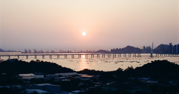
I was looking for easy hiking trails in Tin Shui Wai and found sources online discussing Lam Hang Shan.  It is a small hill in northwestern Hong Kong.  The location presents wonderful views of the Hong Kong-Shenzhen Western Corridor (Route 10), which includes the Shenzhen …
The Fu Tei Au Tsuen Village of Sheung Shui

The Fu Tei Au Tsuen Village of Sheung Shui

Many villages in the New Territories only come into the media spotlight when the government takes action to resume the land.  Such is the case of the Ping Yeung Village in Fanling, where villagers painted murals in the village as part of their effort to …

A Two-Loop Walk at the Shek Lei Pui Reservoir and Kowloon Reception Reservoir

A Two-Loop Walk at the Shek Lei Pui Reservoir and Kowloon Reception Reservoir

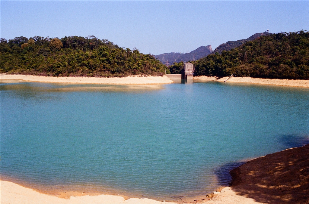
We are finally seeing sunny days in Hong Kong and I seized the day for a short walk.  The itinerary was originally just the loop at Shek Lei Pui Reservoir.  But I decided to do a further loop at the Kowloon Reception Reservoir in the south to clock in more exercise.  I ended up seeing all of the four water reserves in the Kowloon Group of Reservoirs.

The Trail

As with all walks in the Monkey Hill area (properly named Kam Shan Country Park), I entered the trail at Golden Hill Road.  This path leads you through the Kowloon Reservoir Dam and then onto the mountainous areas.

Photos: Left – the entrance into the Kam Shan Country Park via Golden Hill Road from Tai Po Road.

Middle and right – You will see signs pointing to the Shek Lei Pui Reservoir after passing the first pavilion.

I passed the first pavilion, and continued on a gentle incline on Golden Hill Road.  Within five minutes after the first pavilion, I came across the signs that mark the entrance into the Shek Lei Pui Reservoir loop.

Keep on going until you reach this crossroads.  I took the path to the right, which is the recommended starting point for the Shek Lei Pui Reservoir walk.

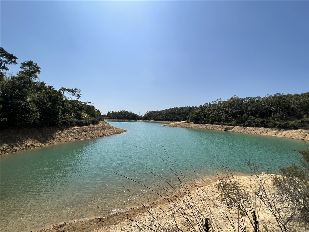
I took quite a number of detours to see the views of the waters at the shore.

Then I reached this point right before entering the dam of Shek Lei Pui Reservoir.

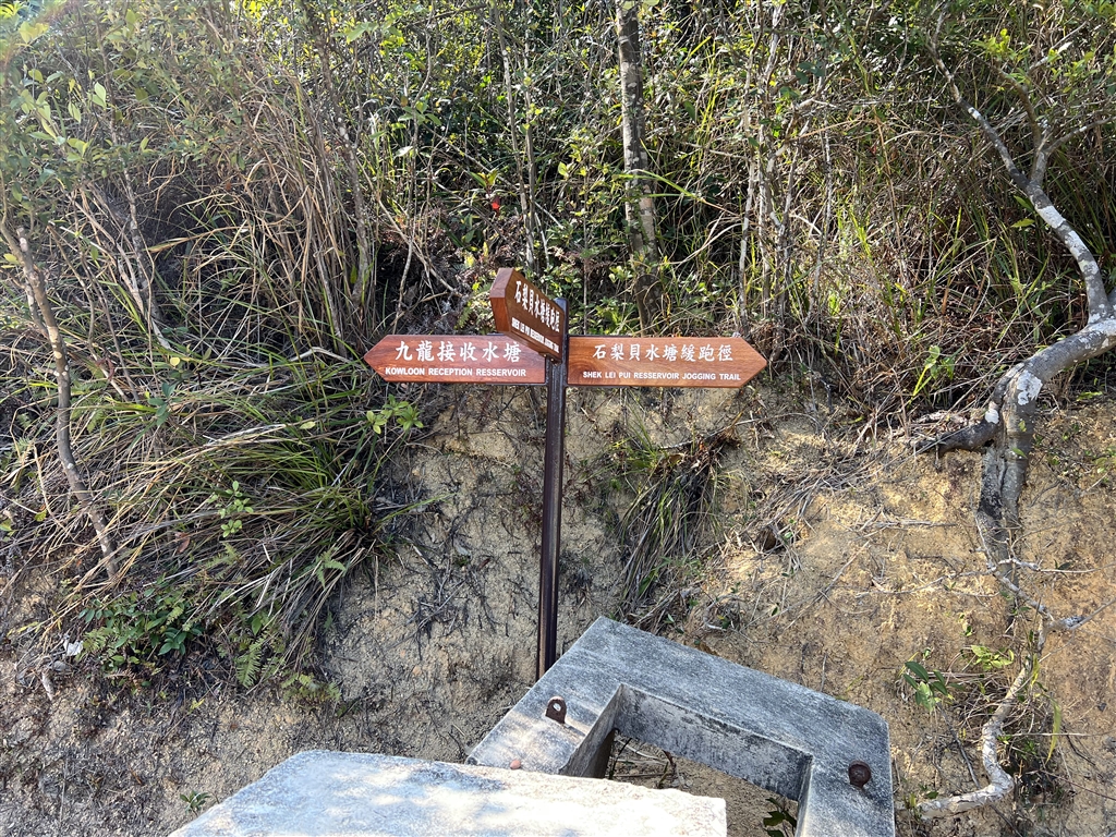
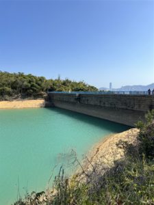
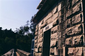
This is the sign pointing to the Kowloon Reception Reservoir direction.  Before I headed down that path, I did go through the dam of Shek Lei Pui Reservoir for picture-taking.  Looking south, there are views of the Kowloon skyline.

I then headed back to the road signs and chose the path going to Kowloon Reception Reservoir.  It goes downward for about ten minutes or so.  Once reaching the trail at the Kowloon Reception Reservoir, again I took the path to the right and started my loop.

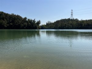
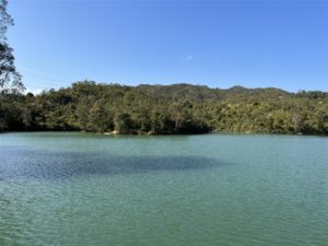
Photos: Views of the Kowloon Reception Reservoir

Eventually, I exited the Kowloon Reception Reservoir, and headed left on Cheung Yuen Road to go back to the parking lot.  On my way, I passed by the Kowloon Byewash Reservoir, the following are the views.

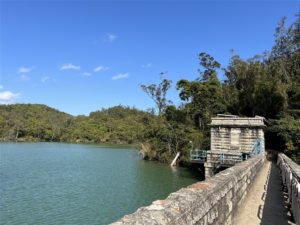
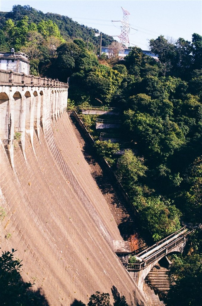
The Dam of the Kowloon Byewash Reservoir was, surprisingly, quite a grand view.

In short, this path will enable one to see all the water reserves in the Kowloon Group of Reservoirs.  Further north, there is a trail on Wilson Trail Section 6 that goes around the Tail of the Kowloon Reservoir.

History of the Kowloon Group of Reservoirs

The Kowloon Reservoir is probably not as well-known as the general area that it is in, which is Monkey Hill, as it is fondly known by the locals of Hong Kong.  The Kowloon Reservoir was the first of the Kowloon Group of Reservoirs to begin service, in 1910.  The group consists of the Kowloon Reservoir, the Shek Lei Pui Reservoir (1925), Kowloon Reception Reservoir (1926), and the Kowloon Byewash Reservoir (1931).

The Kowloon Reservoir, despite its name, is actually the first reservoir in the New Territories.  Together, this group of reservoirs has a capacity of 2.9 million cubic metres.

Gentle Reminders

This trail is overall a very easy walk.  I took my time, did my detours and it only took me 2.5 hours.  Do mind the resident monkeys in the area.  Never take out anything that resembles plastic from your bags.  The sight of plastic bags indicate to them that there is food and they will not shy away from grabbing them.  On this walk, there had been no monkeys once I entered the Shek Lei Pui Reservoir loop.

How to Get There

Bus Route 81 and 72 both stop at the Shek Lei Pui Reservoir Stop on Tai Po Road.  Once off the bus, walk toward the Shatin direction to reach the entrance into Kam Shan Country Park on Golden Hill Road.

By private car, there is a parking lot on Tai Po Road across from the Shek Lei Pui Reservoir Bus Stop.  After parking, you must head up the overpass in order to cross the street to reach the entrance to Kam Shan Country Park.

Sources

The Water Supplies Department, Kowloon Reservoir.

A Walk in Po Toi Island

A Walk in Po Toi Island

Po Toi Island is known locally as the “South Pole of Hong Kong.”  For Po Toi Island is the southernmost inhabited island within Hong Kong’s waters. The History of Po Toi Island According to the Wikipedia, the Chinese word “po” means “floating,” and therefore the …