The Aberdeen Battery has been on my bucket list for a while and I finally got the courage and motivation to go. It was not going to be easy to find it, and I did have an adventure there. Please see below on the details of how to find the ruins of the Upper and Lower Aberdeen Battery.
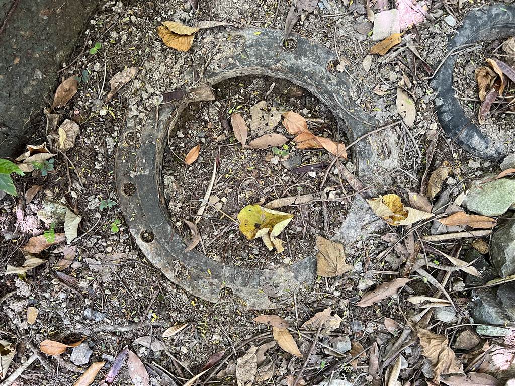
Photo: at the Upper Aberdeen Battery
About the Aberdeen Battery
The British constructed the Aberdeen Battery in 1939. It served the purpose of guarding the security of Hong Kong in the southwest. Located in the mid-range of Siu Yuk Kwai Shan, the battery overlooks the north of the East Lamma Channel, a key waterway between Ap Lei Chau and Lamma Island.

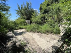
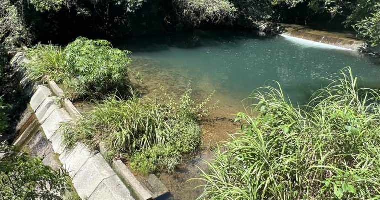
View of the East Lamma Channel at the Lower Aberdeen Battery
Do note that the battery is located at Siu Yuk Kwai Shan, not Yuk Kwai Shan, despite the fact that Yuk Kwai Shan is taller. Although at a lower altitude than Yuk Kwai Shan proper, this is a better vantage point to serve the battery’s intended purpose. Needless to say, the view there was unobstructed in those times and for decades after, until the Southern Horizons and all nearby housing estates were built.
The Aberdeen Battery belonged to a group of three improvised batteries in Hong Kong Island, namely the Cape D’Aguilar Battery and the Bluff Head Battery. The British built them during the 1930s and early 1940s specifically to counter the impending Japanese invasion.
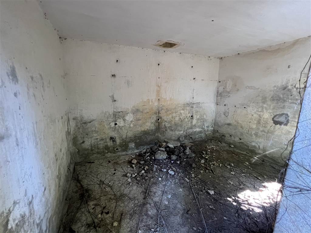
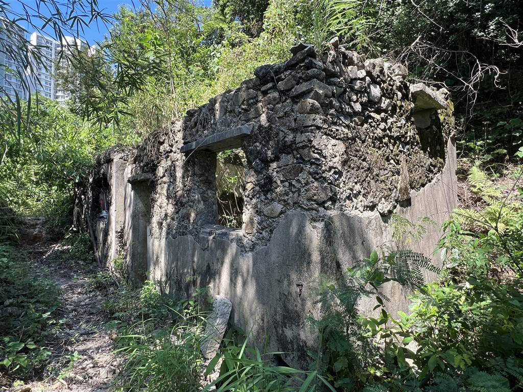
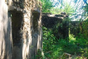
Photo: inside the barrack in Lower Aberdeen Battery
The Aberdeen Battery did serve its defense purpose, and indeed it fought to the very end of the Battle of Hong Kong. On December 25th, 1941, the Japanese forces launched severe bombardment at the battery. They were trying to sink the fleets carrying Admiral Chak Chan to safety. Although then Governor Young surrendered Hong Kong in the same afternoon, the troops at Aberdeen Battery did not know the news and continued to fight. Officers at the Aberdeen Technical School tried to signal to the troops here by turning on all their lights. After confirming the news, the officers destroyed their guns, threw them into the sea, and abandoned the battery.
Due to the rising water needs in the vicinity, the government built the Yuk Kwai Shan Service Reservoir. The construction of the service reservoir caused the demolishment of many structures of the abandoned battery.
The Aberdeen Battery, despite its historical significance, has not yet obtained any grading as a historic monument. However, the Antiquities and Monument Office has already sought public comments for an assessment of the Aberdeen Battery. We should expect the decision in the future.
The Search for the Aberdeen Battery
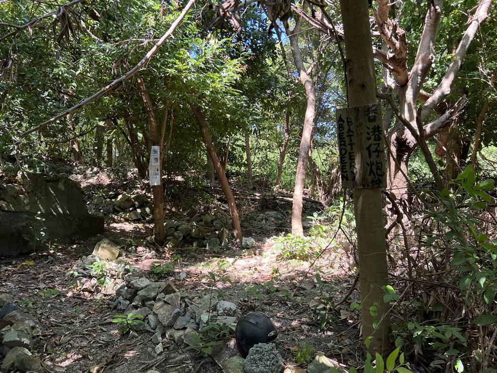
The Aberdeen Battery is yet to be graded as a historic site. The area in which it sits is very much in ruins. Good thing is, some volunteers have recently cleared out the area and put in some indication of where you will find the sites. It is still not for the faint of heart, however, because the site is not on Google Map, it is not on the hiking trail apps, there are no ribbons to follow, and it does not even have clear paths.
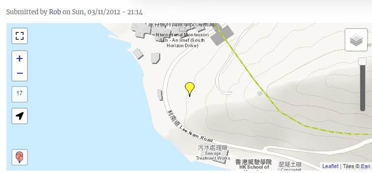
Map: the approximate location of the Aberdeen Battery. Source: Gwulo.com
I did manage to locate three sites of the Upper and Lower Aberdeen Battery.
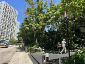
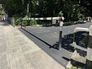
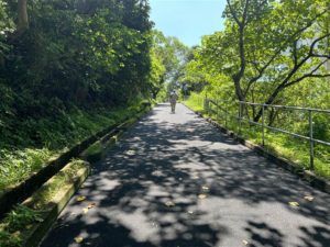
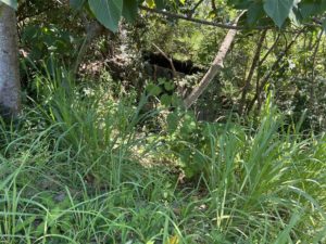
Let’s first take the two nearby sites in the Upper and Lower Aberdeen Battery. Get off at the South Horizons MTR Station Exit C. On the street level, pass by the bus terminus and head onto Lee Nam Road. On Lee Lam Road, cross the street and turn left. Keep walking until you see this opening on your right, with a metal bar that prevents vehicular traffic. This is the way to Siu Yuk Kwai Shan. Head up the slope for about 10 minutes.
Photos: from the South Horizons Station, head out on Lee Nam Road, cross the street, make a left and keep walking until you see the metal bar (photos left and middle), then head up this way on a slope to get to Siu Yuk Kwai Shan.
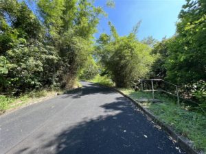
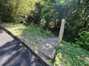
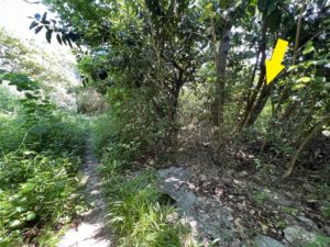
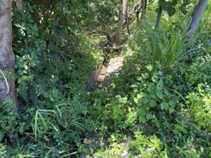
Ten seconds before you reach the Yuk Kwai Shan Service Reservoir, you will see this opening on your right.
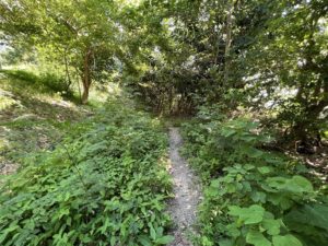
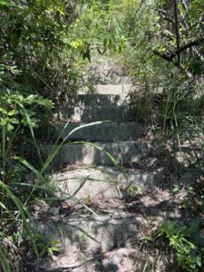
Photos: right before you reach the Service Reservoir, keep watching for landmarks on the right. The rail of the first photograph above (ten seconds before you reach the Service Reservoir) leads you to the first ruins. head onto the stairs (second photo), then onto the path (third photo), and very soon you see a part of trees on your right (last photo). Go through those trees and the ruins is right below it.
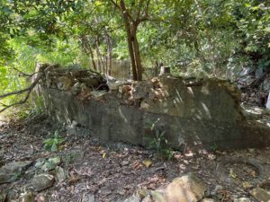
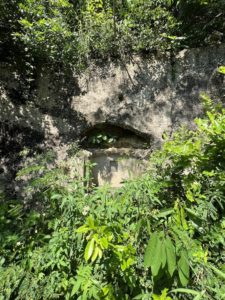
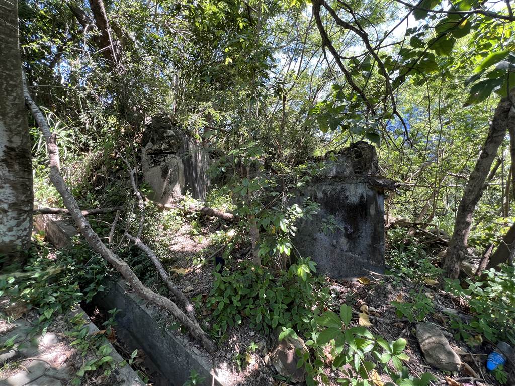
Photos: the first ruins of the Upper Aberdeen Battery
If you ended up at the Yuk Kwai Shan Sitting Area, that means you have way passed the ruins. They are in the vicinity of the Yuk Kwai Shan Service Reservoir.
After visiting this site, go downward from this following sign toward the direction of the ocean. You will see the next indication for the path to take.
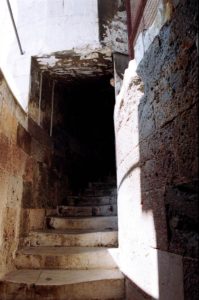
These ropes will help you reach the Lower Aberdeen Battery on a steep slope.
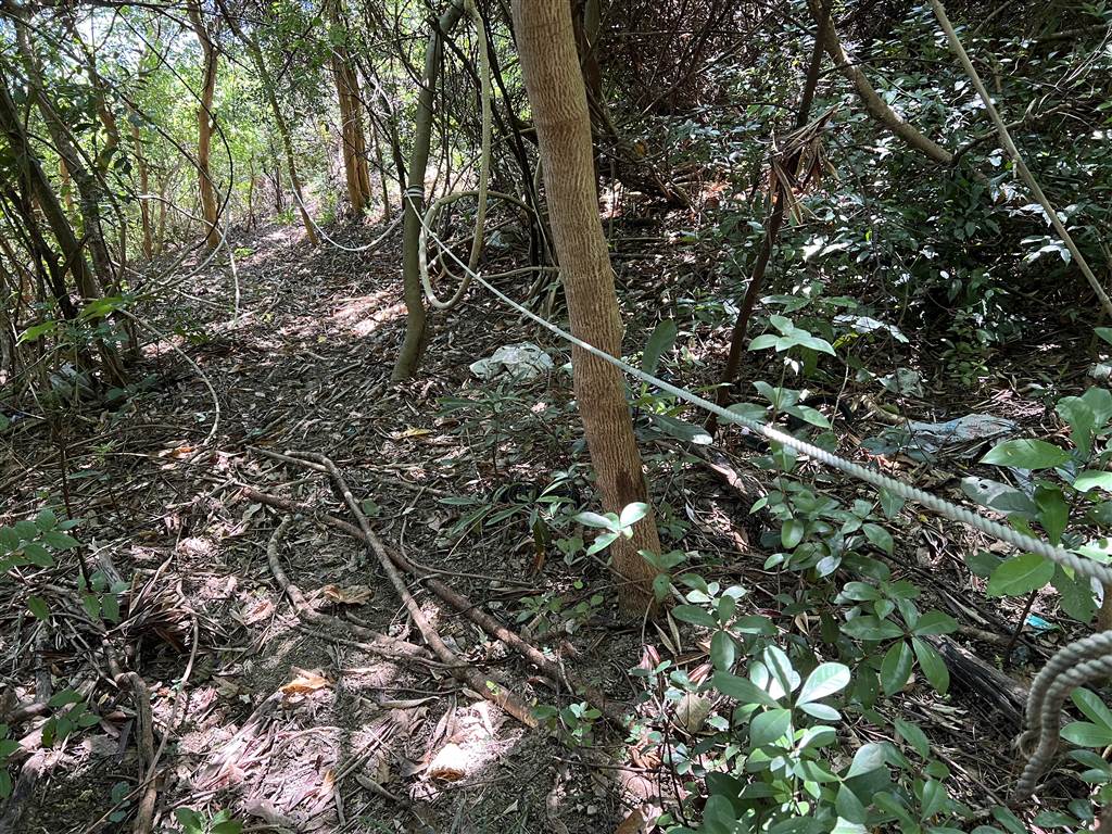
As you finish this section, you may have to explore the vicinity a bit. The paths are not very clear, and neither is my memory, but the Lower Aberdeen Battery is somewhere around. It should be roughly on your right side (if you face the ocean direction), and the direction should be west to northwest.
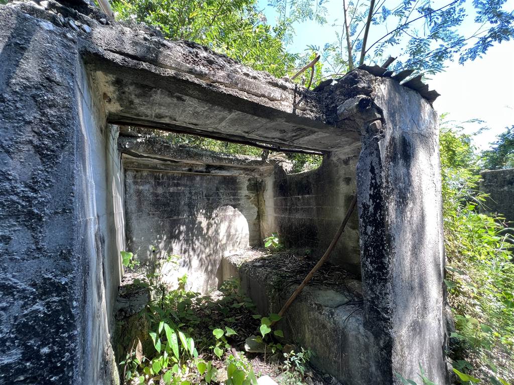
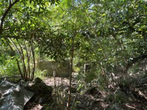
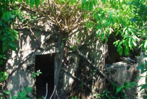
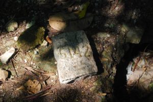
This might have been a former kitchen at the Lower Aberdeen Battery
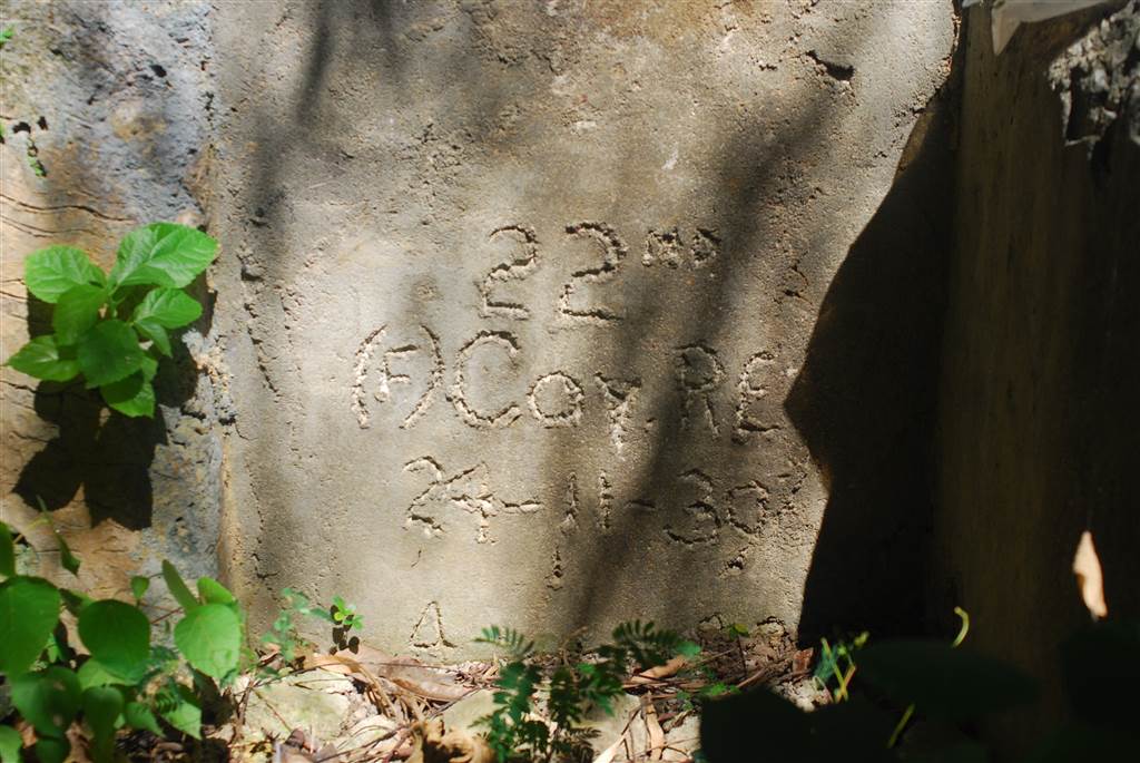
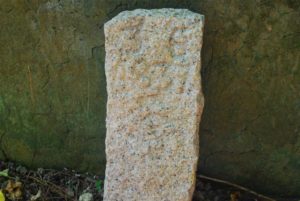
Photo above: carving that indicates the year this structure was built, in the kitchen of the Lower Aberdeen Battery
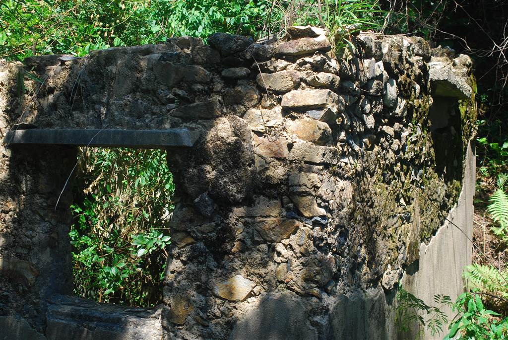
To return, head back the same way. Make your way back to the proper concrete road, and head up just about ten seconds further toward the Service Reservoir. When you do see the Service Reservoir, and look on your right, you will already spot another ruins of the Upper Aberdeen Battery. The way to get to this battery is also quite dangerous, therefore exercise caution.
Photographs: right at the Service Reservoir, you see the rail on the right. If you take closer look on the right at this point, you will already see the ruins of the Upper Aberdeen Battery (second photo). Get to the beginning of the rail and turn sharp right, and reach the battery by walking carefully on the aqueduct (third photo).
At the point of the rail in this picture, do not head forward on the path, but turn sharp right at the rail’s beginning, and you will see a small aqueduct. The other ruins of the Upper Aberdeen Battery is right there. Proceed with caution.
Some Features at the Aberdeen Battery
The structures of the Aberdeen Battery were built of reinforced concrete. The Upper Aberdeen Battery was a battery observation post. George Wilby commanded the Aberdeen Battery, and a platoon of the Hong Kong Voluntary Defense Corps manned this facility. The crew gave firing instructions to the gun battery at the Lower Aberdeen Battery. It also had the capability of communicating with the Admiralty Headquarters.
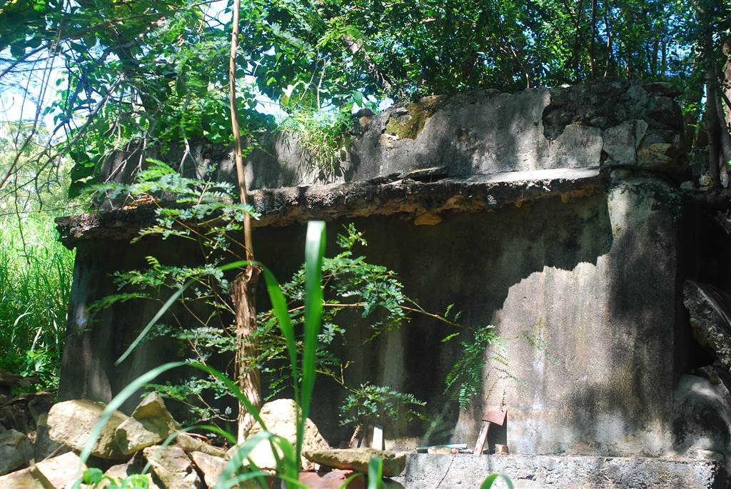
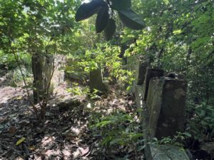
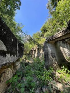
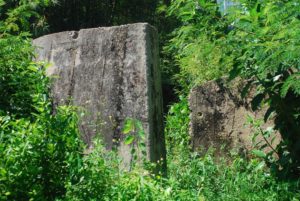
The Lower Aberdeen Battery is, relatively speaking, a more complete group of structures. You will first come upon the gun emplacement. Originally, two BL 4-inch Mk ix naval gun stationed at this gun platform. There is also a kitchen and two barracks there.
Photos Above: Phone booth for communication and giving firing commands (left); the ruins of Lower Aberdeen Battery (middle); the stairs of the Aberdeen Battery, also a ruins (right).
Photos above: the gun platform of the Lower Aberdeen Battery
Gentle Reminders
The walk that leads to the Aberdeen Battery is not rigorous. However, do still prepare enough water with you, for finding the way is a bit of an exercise itself. The slopes there are steep, and therefore do not go on rainy days. Finally, the mosquitoes and the weeds are annoying. Bring mosquito repellent and it is better to wear clothes with as little exposure as possible to prevent scratches and mosquito bites.
Sources
Historic Descriptions On-site.
The Wikipedia on the Aberdeen Battery (Chin).
Gwulo.com, The Aberdeen Battery, Ap Lei Chau.
Chan Ping Yang’s Youtube Channel on the Aberdeen Battery, June 30, 2021.