Blog

Beyond Pho – Boating to the Full Moon in Hoi An

Beyond Pho – Boating to the Full Moon in Hoi An

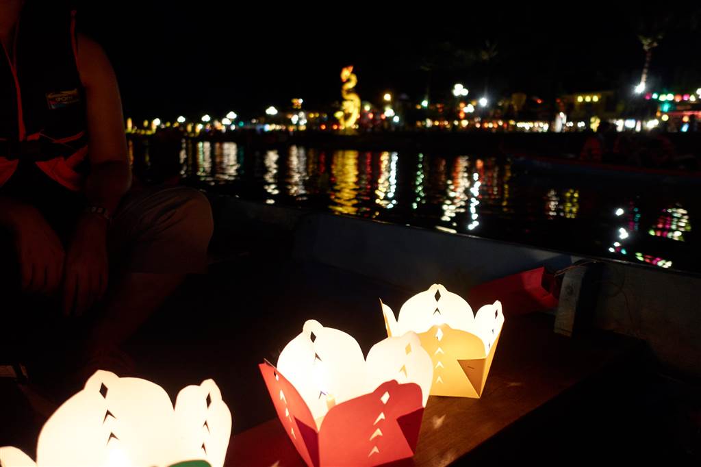
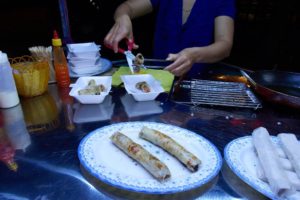
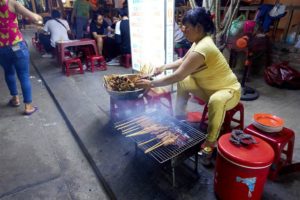
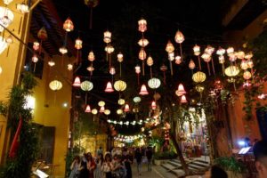
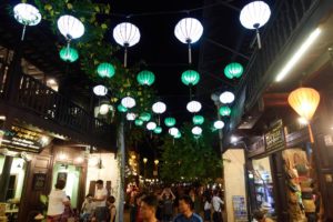
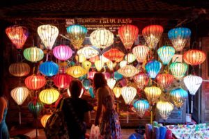
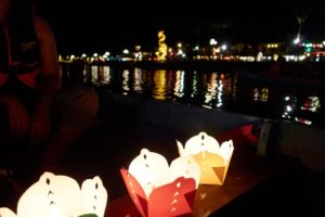
In the evening, we came back to Hoi An and found it bustling with festivities.  The night market has opened.  Music filled the air, food stalls lined the streets, and the colorful lanterns decorated the sky with the full moon above us. We had a 

Beyond Pho – Biking Between Heaven and Earth

Beyond Pho – Biking Between Heaven and Earth

We joined a biking tour on this sunny day.   The Nu Eatery Lunch was at the Nu Eatery.  The restaurant was known for its fusion touch on traditional Vietnamese cuisine.  We had to try our luck as we did not make a reservation, and 

Ho Pui Reservoir and its Bamboo-Lined Trail

Ho Pui Reservoir and its Bamboo-Lined Trail

The hike of the day was the Ho Pui Reservoir in Kam Tin.

The Trail to Lui Kung Tin

At the Ho Pui Village we passed through the store and the village to enter the route up the hill.  The hike up the hill was perhaps 10 to 15 minutes of gradual incline.  Once at the Ho Pui Campsite, we walked on straight toward Lui Kung Tin for about half an hour.  We met with a group of serious photographers there.


The Owl on the Trail to Lui Kung Tin:

“shh, we are watching owl there,” a photographer said.

“An owl?  But owls are nocturnal!” I said.

“It’s a baby owl.  He is not yet ready to leave the nest yet, that’s why we see him during the day.”

I looked and looked and finally saw the baby owl.  It was naturally camouflaged – in the exact same color as the rocks that surround the nest.  The photographers said they haven’t released word of the owl on the social media.  To keep the watchers down, that is.  Just about a week or two ago there was another baby owl but it died, so there was only one left for us to see.

Photo: Can you see the owl?

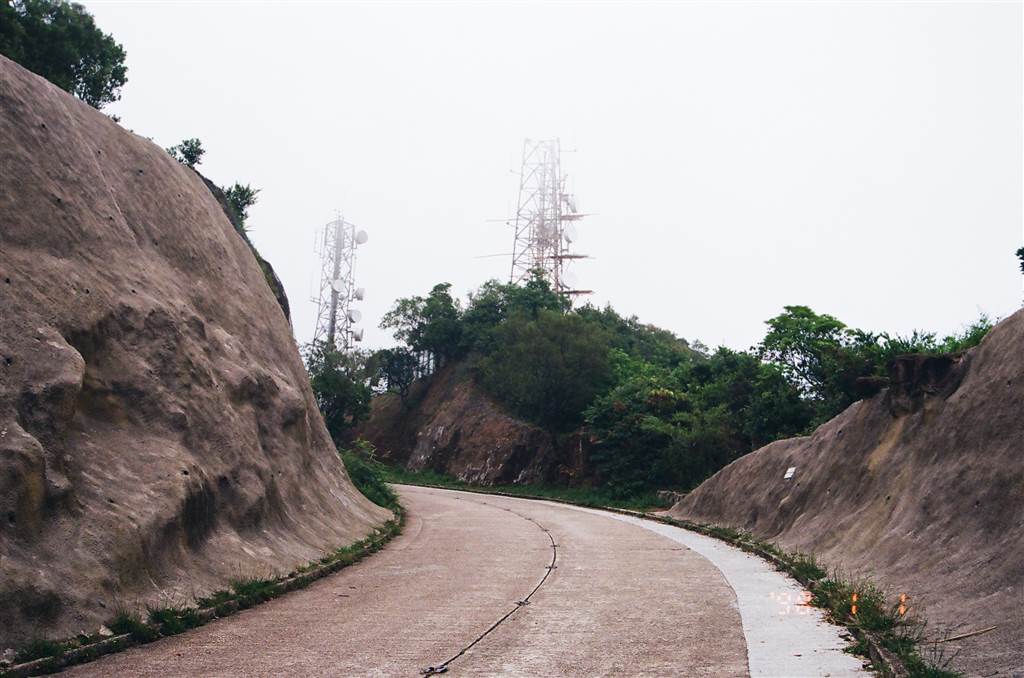
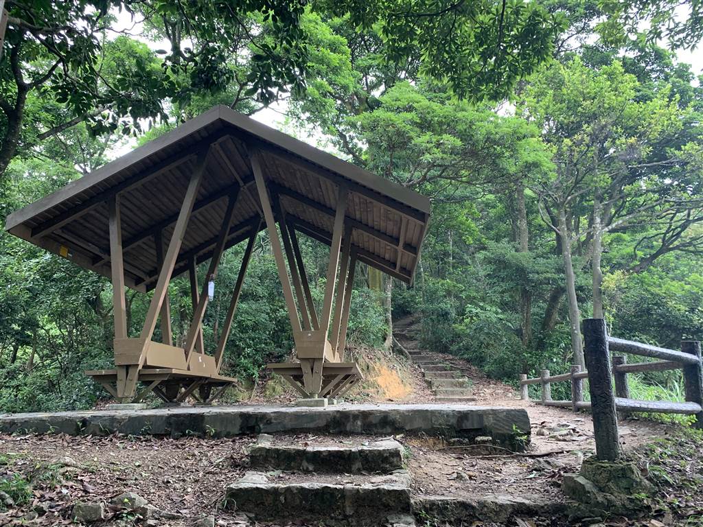
This was the route to Lui Kung Tin but our intention was to visit the Ho Pui Reservoir.  The hikers told us that we were on the wrong way, so we turned back without seeing Lui Kung Tin.  These are some of the views on this trail:

I later found out that Lui Kung Tin itself has water views, as in a pond.  There is also a dairy there, which is open during public holidays and weekends.  I will have to visit those in the future.


The Ho Pui Reservoir Family Trail

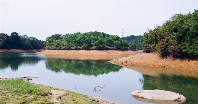
The Ho Pui Reservoir is an irrigation reservoir.  That is about all that I know.  The trail is very gentle.  After heading up the hill for a little, as we ascended from the point of the Ho Pui Campsite for about 15 minutes, we arrived at the reservoir.  The Ho Pui Reservoir Family Trail is a 2km loop around the Ho Pui Reservoir.  We came upon pleasant surprises one after another.

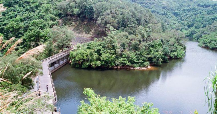
Views of the waters:

And a beautiful bamboo-lined section.  My friend said it reminded her of Japan:

Besides the Ho Pui Reservoir Family Trail, this area is also the Ho Pui section of the Mountain Bike Trail.  Therefore there are many bikers around this area.

We headed back to our car in the village on the same route.  The day was wonderful, but there was an annoyance.


Directions and Annoyances:

From Yuen Long or the Kam Tin MTR Station, one can take the green top mini bus line 71 to arrive at Ho Pui Village.

But we drove that day.  When we arrived, there was a man there that told us we must pay $100 in order to park there without incidents, “$100 is less than if your tires were poked,” my friend heard him saying.  My friend was very unhappy about this man, he was the gangster type.  I intended to pay him what he asked for, because I was just eager to go on to the journey.  I also thought that it was like a “toll fee” – villages in the New Territories could impose any kind of rule the villagers wanted.  My friend said he was simply a construction worker there trying to rake money off tourists.  She bargained it down to $80.

When we returned later that afternoon, he was no longer there.  We knew that if we came at a time when he was not around, the large parking lot right outside the village store would have been free for parking to anyone.

Fusing Faith with Food – Big Brother Biu’s Seafood Restaurant (2)

Fusing Faith with Food – Big Brother Biu’s Seafood Restaurant (2)

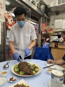
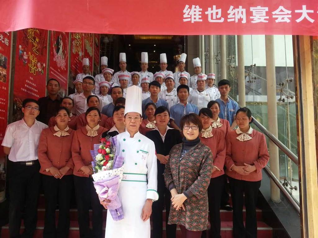
“This cleaver of yours,” Chef Tong Li began the cooking instruction with displeasure, “is not even good enough for cutting bean curd!” James Li, Chef Tong Li’s son, said that his father was very demanding when it comes down to cooking.  Chef Tong Li had 

Fusing Faith with Food – Big Brother Biu’s Seafood Restaurant (1)

Fusing Faith with Food – Big Brother Biu’s Seafood Restaurant (1)

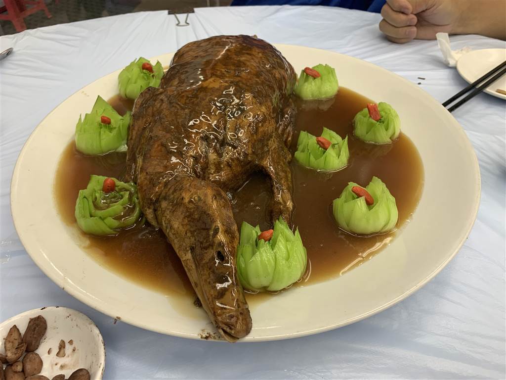
I asked Chef Tong Li whether he thought that God was always with him, even before he came to know and accept Jesus Christ.  The answer was a resounding yes. The first cuisine with which Chef Tong Li would make his name was the snake 

Beautiful Sha Tau Kok – Wang Shan Keuk Village at the Foothill of Pat Sin Leng

Beautiful Sha Tau Kok – Wang Shan Keuk Village at the Foothill of Pat Sin Leng

Pat Sin Leng, because of its ridge of eight rolling summits, is named after the Eight Immortals in Chinese folklore.  The villagers called it “wang shan” instead.  Therefore the village of Wang Shan Keuk means “the foothill of Pat Sin Leng.”

The Itinerary

I arrived at the Pat Sin Leng Nature Trail, and parked right across from it at the Lion Pavilion.  On this trail the first part is a set of steps up for 25 to 30 minutes, arriving at the Wang Shan Keuk signpost.  Go on the trail on the left, toward the Luk Keng direction for another 5-10 minutes to arriving at the first stream, passing the next sign post, again toward the Luk Keng direction.  It would take 15 minutes to reach the Lower Wang Shan Keuk Village.  After that, hike for another 15 minutes to Upper Wang Shan Keuk Village.  Return on the same route.

Wang Shan Keuk Village

The Wang Shan Keuk Village is a village of the Chan’s, a people of Hakka origin.  The village belongs to one of the ten “yeuks” in the Shat Tau Kok restricted area.  Back in the old times, the rural villages of the New Territories often formed these “yeuk’s” for purposes of sharing resources and defense.  They are pockets of the rural community.  Wan Shan Keuk Village belonged to the Nam (southern) Yeuk of the Sha Tau Kok area.  I otherwise could not find much on the village’s history.  Suffice to say, after leaving this site in the mountains circa 1950s, the New Wang Shan Keuk Village has moved to a location along the main Sha Tau Kok Road.

The Chan’s Ancestral Hall remains in ruins in the abandoned location in Upper Wang Shan Keuk Village.

The Hike

The weather forecast for the day predicted high temperature in the range of 29-30 degrees during the day.  For the first part of the hike up from the Pat Sin Leng Nature Trail, there was little shade and the steps were continuous for little more than half hour.

At the Wang Shan Keuk signpost, there is a crossroad. I went on the well-paved road on the right for about ten minutes, passing by many village graves, but eventually I turned back.  I believe that this route would have led one onto a loop—therefore it should reach Wang Shan Keuk Upper Village first and loop back, but I cannot be sure because I turned back.  At the cross road again, I took the route on the left and soon arrived at a beautiful stream.  Eventually, I made it to the two village locations and returned on the same route.

Photo: At the Wang Shan Keuk Signpost.  Take the route on the left at the crossroad.  


Once entering the stream and the mountainous area, there were plenty of shades.  In fact, the hike was very pleasant then, with gentle breezes throughout.  The trail was a good combination of uphill steps, then gentle ups and downs with lots of flatland in between.  What made it particularly pleasant was the trail being covered in stone slabs most of the way.  This is the feature of the trail in its ancient roots, as this part of the trail is called Wang Tsat Ancient Path.  The road was paved this way even during the village’s heyday to provide for passage.

Overall it was a very good exercise for me, about 7km of a hike, 10,000+steps and 40+ floors climbed.

Directions and Dangers

The entrance of Pat Sing Leng Nature Trail is along the Bride’s Pool Road.  By private car, there are parking areas next to the Lion Pavilion.  Once on Ting Kok Road in Tai Po, pass the Tai Mei Tuk areas and keep going on Bride’s Pool Road.  The Lion Pavilion will be on your right.

By bus, Line 275R runs along this section of Bride’s Pool Road, with final stop at Wu Kau Teng, during the weekends and public holidays.  Otherwise, one would have to take Bus 75K or Green Top minibus 20C from the Tai Po Market MTR station to reach the final terminus at Tai Mei Tuk, then walk a good 15 minutes to the entrance of the Pat Sin Leng Nature Trail.

On this trail, there are at least three streams to cross before reaching the Upper Wang Shan Keuk Village.  During the rainy season these could be danger points.  Therefore do not go during a rainy day.  I also advise against going on a hot day, as the first part of the hike has little shades throughout.

There is also the South Wang Shan Keuk Bridge further down from the Upper Wang Shan Keuk Village but this time I did not visit the site.  I will save that for the next sojourn.

Beautiful Sha Tau Kok – Japanese Fortifications in Luk Keng

Beautiful Sha Tau Kok – Japanese Fortifications in Luk Keng

We are seeing warmer days in Hong Kong.  I seize every opportunity there is to hike.  This day I visited the Japanese fortifications in Luk Keng. “A bush fire lit up there last week, so I thought it is perfect for exploration,” a young man 

Beyond Pho – Dancing to the Full Moon in Hoi An

Beyond Pho – Dancing to the Full Moon in Hoi An

The people of Hoi An celebrate the full moon every month.  Perhaps that was how they kept the tourists engaged.  But on this traditional once-a-year Mid-Autumn Festival, the celebratory activities were much more elaborate. We intended to have a walk in Hoi An that evening 

Beyond Pho – Hoi An

Beyond Pho – Hoi An

Between the 2nd to the 10th centuries, Hoi An was a bustling seaport of the Champa Kingdom.  Both My Son and Hoi An within its bounds, the Quang Nam province once belonged to the Champa King.  A dispute arose between the Champa kingdom and Vietnam broke out, and between the 14th and 15th centuries Hoi An was the bone of contention.  Vietnam claimed that a former Champa King has granted this area to Vietnam as gift for his marrying of a Vietnamese princess.  His successor refused to honor the terms, thus causing a century-long fight.

Peace finally came.  Beginning in the 15th century, Hoi An became an international trading port that thrived by the Thu Bon River.  This encouraged the presence of the world’s trading nations in Hoi An, including the Japanese, Chinese, Dutch, Portuguese, Spanish, Indians, British, French, American and more.

The Chinese and Japanese traders were particularly prominent in Hoi An.  They have left a presence by the many beautiful structures that stand to this day.  Ancestral halls, temples, traders’ assembly, and all kinds of infrastructures are testaments to the city’s roots as a trading port and the international character that followed.  Indeed, these structures are well-preserved as the UNESCO has decreed some eight hundred historical buildings in Hoi An as protected heritage.

The Thu Bon River was Hoi An’s life line.  Until the late 19th century, when it silted.  Hoi An’s fate thus turned upside down as the sea and river entries to trading closed.  Danang then rose in its place as the preeminent trading port.

Hoi An’s long history and its cultural heritage was significant and apparent to both sides to the American War in Vietnam.  As such, it remained intact during the war.  Whereas the My Son Ruins nearby was largely destroyed.

Mid-autumn festival was around the corner.  Hoi An’s old town was bustling with festivity.  People adorn the shops and the streets with colorful lanterns, which are the symbols of full-moon celebration.  Perhaps it had to do with the town’s trading past (silk was very much sought after two centuries ago); or perhaps it was a lucrative business from tourism, Hoi An’s streets had a remarkable presence of tailors and handicrafts.

Hoi An’s local life seemed to gravitate toward the Cho Hoi An Market.  As compared to the many other similar markets I have been in Vietnam, Cho Hoi An was a notch cleaner than most.  The scenes of sales were no less engaging, however, as the haggling between foreigners and local traders made the din that signaled vibrant business.  Fruits, veggies, Vietnamese sausages, baguettes, name it and you will find it here.

As its name suggests, the Japanese Covered Bridge was a mark of the Japanese community in Hoi An.  The Japanese built this bridge in the 1590s in order to gain access to the Chinese quarters across the stream.  The bridge was small.  Its petite arches over the stream seemed to comport perfectly with the subtleties of Japanese culture.

The Ba Le Well was famous for providing the water for making the famous Hoi An Cao Lao noodles.  It claimed to be the source of water for all of Hoi An’s cao lao noodles.  It has its ancient origin from Cham times.  For centuries, the elderly people would make a trip daily to the well to fill their pails.  Well, this seems to hold true to this day.  We met an old man at the well.  He took a pail and showed me, and I took sips from this sweet water, the water of life for Hoi An.

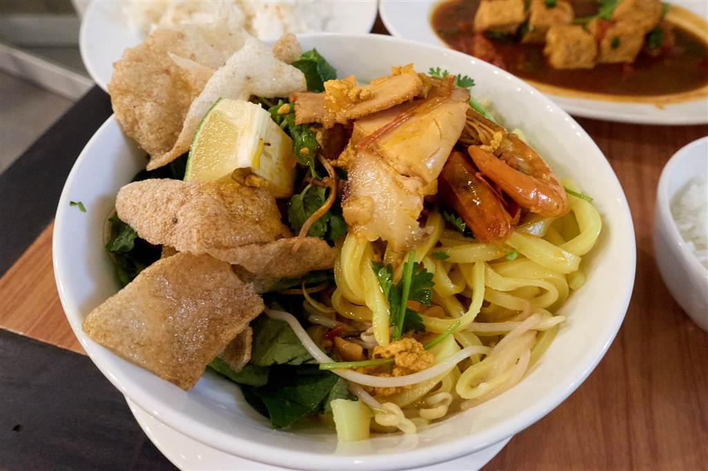
It wouldn’t be surprising that the Bale Well Restaurant was very close to the well, as its name suggests.  When we sat down, the waitress laid down a full array of food under the set menu, the only option for diners.  From pancakes to condiments, from barbecued pork skewers to generous handfuls of herbs, from rice paper wrap to white coffee, all in mouthwatering presentation and portion.  No, we did not wait to say bon appetit.  We dug in right away.

In this very sunny afternoon we ran into a beauty pageant parade.  A host of beautiful Vietnamese women dressed in their traditional ao dai’s and posed for pictures.  We thought they followed us as we saw them at every spot that we stopped.  I told my young handsome companion that he ought to introduce himself and take one of them home.  He mumbled something that sounded like a comment of disdain.

With that, I would have to render this beautiful image of the flowing ao dai’s in my memory.

Sources:

The historical descriptions of Hoi An in this entry came from the Lonely Planet: Vietnam (2014).

The historical descriptions of the Ba Le Well came from the Lonely Planet: Ba Le Well, Hoi An.

Beautiful Sha Tau Kok – The Abandoned Village of Yung Shue Au

Beautiful Sha Tau Kok – The Abandoned Village of Yung Shue Au

The destination of the day was the abandoned village of Yung Shue Au, meaning “the Banyan Pass.”   The Itinerary We parked at Luk Keng and hiked on the seaside trail along Sha Tau Kok Hoi (also known as Starling Inlet).  Having passed first Kai