Blog

Old-Time Vietnam – Off to Hue

Old-Time Vietnam – Off to Hue

I must see Mr. T.  He has the stories of the DMZ as a veteran.  So I chose Hue as my fourth trip to Vietnam. On this first morning in Danang I had coffee, worked a bit more, and had lunch at the Happy Bread 

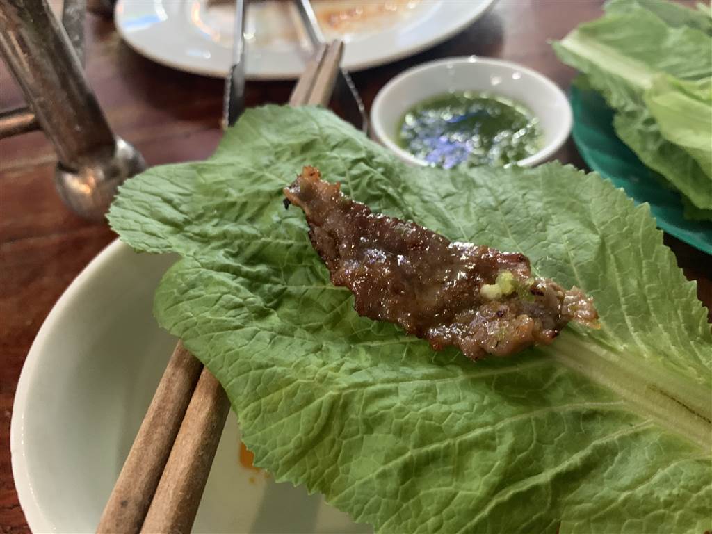
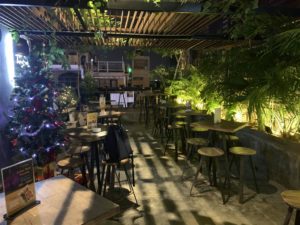
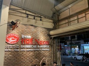
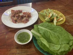
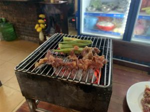
Old-Time Vietnam – Sizzling at Hue Ngon, Danang

Old-Time Vietnam – Sizzling at Hue Ngon, Danang

What’s with me and unmetered taxi’s?  The guy came up to me at the airport and quoted đ200,000.  I thought that included the airport tax but it was an extra đ70,000.  I simply did not have the guts to bargain.  On arrival at the hostel 

The Tai Mei Tuk Family Walk

The Tai Mei Tuk Family Walk

 The Tai Mei Tuk Family Walk is a treasure trove.  The 40-minute loop takes one through four vista points with exceptional views of the Pat Sin Leng (the Ridge of the Eight Immortals) and the seas of Eastern New Territories.

The Trail

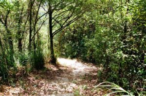
The trail begins with some steps up and that is where you can clock in some exercise.

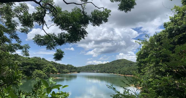
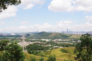
Very soon you will come upon the first viewing point with views of the Plover Cove Reservoir and its main dam, plus the mountains on the east:

Keep going, and at the second viewing point come with these views:

Photo on the right shows the sub dam of the Plover Cove Reservoir.

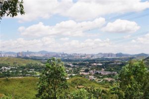
At the third viewing point:

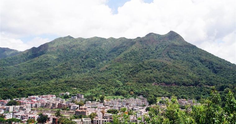
Photos: a panoramic view of the Pat Sin Leng mountain ridges with eight summits.


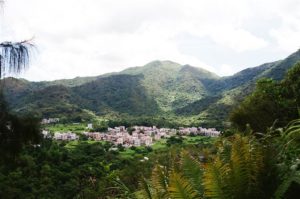
At the fourth viewing point:

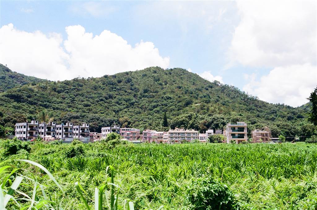
Photos: a panoramic view of the Tai Mei Tuk villages and the waterfront, and outlaying islands afar including Yim Tin Tsai.

How to get there

If you go by private car, park at the Tai Mei Tuk parking lot outside of the barbeque area.  By public transport, bus 75K runs from Tai Po Market Bus Terminus.  Minibus 20C also runs from Tai Po Market to Tai Mei Tuk.  Get off at the Tai Mei Tuk Terminus.

Keep going through the Tai Mei Tuk barbecue area, and the entrance to the trail is on your left across from the YHA Bradbury Jockey Club Tai Mei Tuk Youth Hostel.  That is before heading up the slope to the Tai Mei Tuk Main Dam.


The Rotary Club Park Nature Trail

The Rotary Club Park Nature Trail

Tai Mo Shan (Tai Mo Mountain) is the highest mountain in Hong Kong at an altitude of 957 meters.  The Rotary Club Park Nature Trail cuts through the Tai Mo Shan Country Park.  It is a short walk up on an intermediate incline.  Yes, there 

Beautiful Sha Tau Kok – The Cheung Shan Monastery

Beautiful Sha Tau Kok – The Cheung Shan Monastery

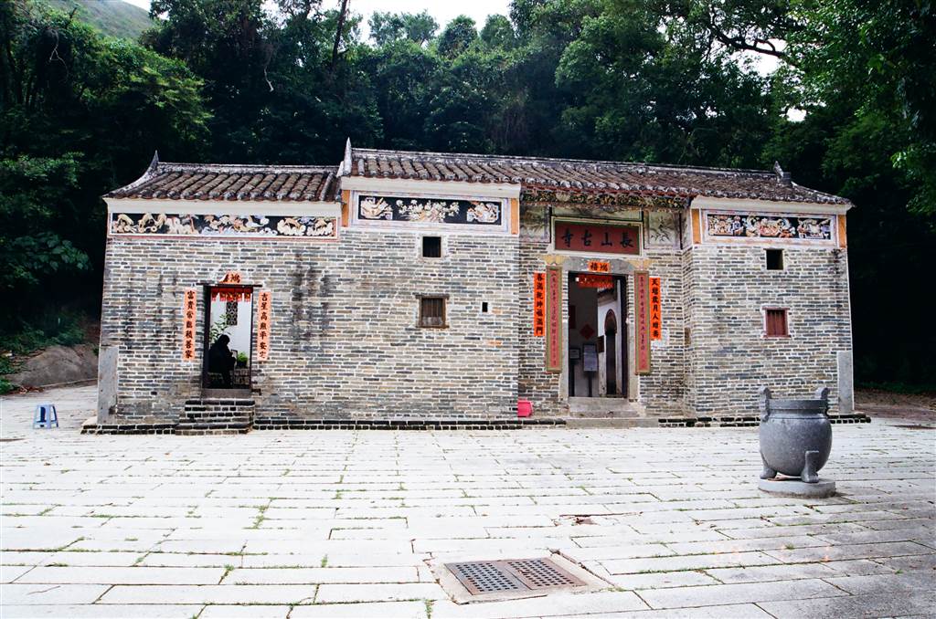
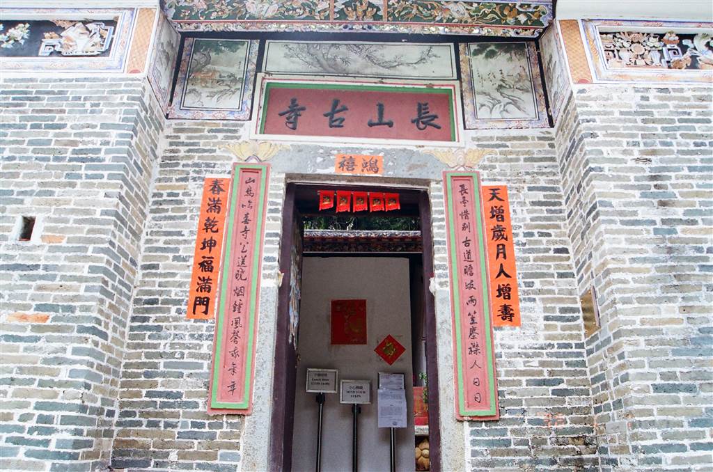
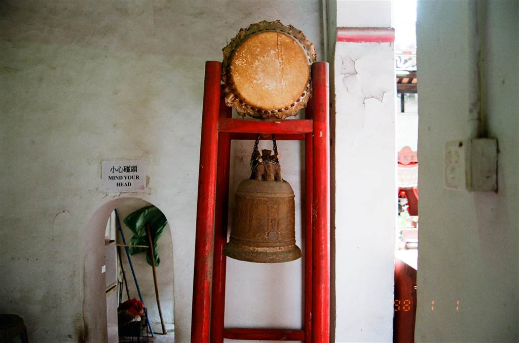
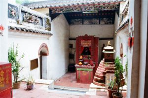
The Cheung Shan Monastery, formerly the Cheung Sang Nunnery, was believed to have been constructed in 1789. Seven villages in the neighborhood pulled the funds to build this temple in order to improve Feng Shui for the villages.  Located on Wo Keng Shan Road, it 

The Hindu Temple of Queen’s Hill Military Camp

The Hindu Temple of Queen’s Hill Military Camp

Some of the places in Hong Kong are never heard of, and out of this world.  The Hindu Temple of Queen’s Hill is such a place.

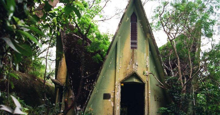
According to the introduction on site, the “Hindu Temple at Burma Lines (formerly known as Queen’s Hill Camp) in Fanling was built in the 1960s for the Gurkhas from Nepal who were stationed at the camp.”  The temple has the shape of a lotus.  Its hexagonal design signifies holiness and beauty.  The god being worshipped in this temple is the Hindu god of destruction, Shiva.  Before 1996, the Gurkhas held Hindu festivals here, until obviously the British forces left Hong Kong in 1997 and thus this temple fell into disrepair.

When I saw the Hindu Temple, its beauty amazed me.  The inside was like avant garde, it felt as if I were in MOMA.  I used up a whole roll of film.

In terms of exploration of this site, there was not much beyond its beautiful exterior and interior.  However, the Queen’s Hill Camp is behind the temple.  According to the introduction by other hikers, the camp is huge.  Fallen trees blocked the road.  I stopped proceeding once having passed this covered pathway.

Photos: the way to the military camp structures.  Fallen trees blocked part of it.

How to get to the Hindu Temple of Queen’s Hill

I went by private car.  From Lau Shui Heung Road, I turned right onto Po Kak Tsai Village.  At the Po Kak Tsai Lau Shui Heung Public Toilet, there is a way on the right that leads up to the Hindu Temple.  The area is under construction.  At first glance it looked as if there was no through way.  But do enter, and at the opening of the trail, keep to your right.

No, it does not even look like a way, but the very narrow path up (note, all along the wired fence) is the one that leads you to the temple.  As with the hiking of other trails in Hong Kong, where you see strings, ropes or ribbons tied on the path, it is indication that you are on the right path.  On this path, you will see large white ropes tied on the side all the way to the Hindu Temple.

Photos: follow the ribbons and the white ropes, and walk along the wired fence to reach the Hindu Temple.

If you take the wider pathway on your left, you will come across an old dog-breeding type of structure, and that is when you know you are on the wrong way.

Photos: if you see these structures, you have gone on the wrong way.  Turn back!

From the opening of the pathway to the Hindu Temple the gentle path up only takes about 5 minutes.

Annoyances

The mosquitoes in this area were fierce.  I do not usually get bites when I wear long pants.  On this day only my ankles were exposed and they came down with tens and tens of bites.  Therefore, go in full cover and with additional mosquito repellent on you.

The Hok Tau Reservoir (via Lau Shui Heung)

The Hok Tau Reservoir (via Lau Shui Heung)

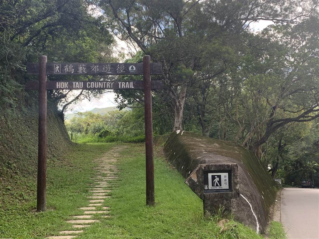
The day was bright.  I looked for a straightforward trail that does not require research, but comes with some climbing.  I decided to visit the Hok Tau Reservoir via the Lau Shui Heung Country Trail. The last time that I visited the Lau Shui Heung 

Hue 1968

Hue 1968

Book Review: Hue 1968 (2017) By Mark Bowden By tradition, your first encounter on the morning of Tet was supposed to be a harbinger for the entire year.  If that were true, then Hue’s fate in the New Year would have been sealed.  Its first 

From Eagle’s Nest to Beacon Hill

From Eagle’s Nest to Beacon Hill

Having done the Eagle’s Nest Nature Trail in the previous week, we decided to vary our itinerary this time for just a little.  The day was overcast, and in fact the weather forecast predicted squally thunderstorms.  We tried our luck.

The Eagle’s Nest Trail connects to a route running east-west all the way to the Lion Rock on eastern Kowloon.  Beacon Hill is about a third of the way into Lion Rock.  The Chinese name of the hill is descriptive of the shape of the hill, which supposedly looks like a “pen holder.”  As to the English name, Wikipedia references this interesting history:

“The hill’s name date back to the Great Clearance between 1661 and 1669, which required the complete evacuation of the coastal areas of Kowloon in Hong Kong in order to fight against and then subsequently defeat the anti-Qing movement that was first started and largely led (initially) by surviving Ming Dynasty loyalists (carrying on the struggle against the new Manchu-formed Qing Dynasty). Qing military garrisons were created and stationed throughout most of Kowloon’s coastal areas to enforce the Qing government’s decree in locations which later became referred to as beacons.”[i]

Travelers who enter the New Territories via the Lion Rock Tunnel would notice Beacon Hill and the structures at its top, including a big white globe.  These are structures maintained by the Civil Aviation Department of Hong Kong.[ii]

The Itinerary

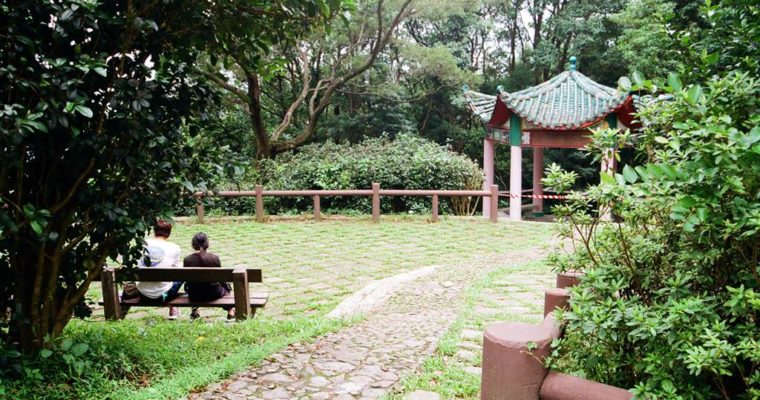
The itinerary was simple.  At the entrance of the Eagle’s Nest Nature Trail, we took the opening on the right.  From what I remember last time hiking the trail, this opening is closer to the route that connects to Beacon Hill than the one on the left.  We hiked for a little more than half hour and came upon the pavilion:

The stairs on the right will lead one onto Lung Yan Road.  This road was built by the government to access the aviation facilities on top of Beacon Hill.  At 457 meters tall, Beacon Hill and thus this section of the hike is rigorous.  There is a map on Lung Yan Avenue showing the route to Lion Rock.  Lying right ahead is the set of stairs that would lead one onto the intermediate height of Beacon Hill.  These stairs take about 20 minutes.  It was tough, to say the least.

Left: Lung Yan Road is paved.  Right: Eagle’s Nest Trail when entering via the opening on the right.

Once up on the next level, lying ahead is another set of stairs that would lead one onto the white globe.  We declined on that route, it was too much stair-climbing already.  Instead, we walked on the paved road toward the towers.

The weather was with us that day.  There were some dark clouds and yet not one drop was rained down on us.  However, it did affect the views of Kowloon.  Given a clear day, it would have been a great view.

To descend, we chose the paved road instead of the rigorous stairs.  It was circuitous but it would not be so hard on our knees.

This trail takes about 1 hour to 1 hour and 20 minutes.  This time, we did not see any monkeys, but we saw some unleashed dogs.

[i] The Wikipedia on Beacon Hill.

[ii] Id.

The Eagle’s Nest Nature Trail

The Eagle’s Nest Nature Trail

The Eagle’s Nest Nature Trail is an easy walk around Eagle’s Nest Hill (also known locally as Tsim Shan).  The Eagle’s Nest Hill is also where the Eagle’s Nest Tunnel is.  The 1.5-hour loop is a pleasant stroll, without rigorous uphill climbing but rapid steps