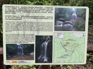
Legend has it that a bride was carried through the pool in a wedding sedan chair on a rainy day. One of the carriers slipped and fell. The whole sedan chair fell into the pool. As a result the bride drowned. To remember this ill-fated bride, the villagers named this pool Bride’s Pool. As the legend is relevant to us today, the pool is believed to be haunted still.
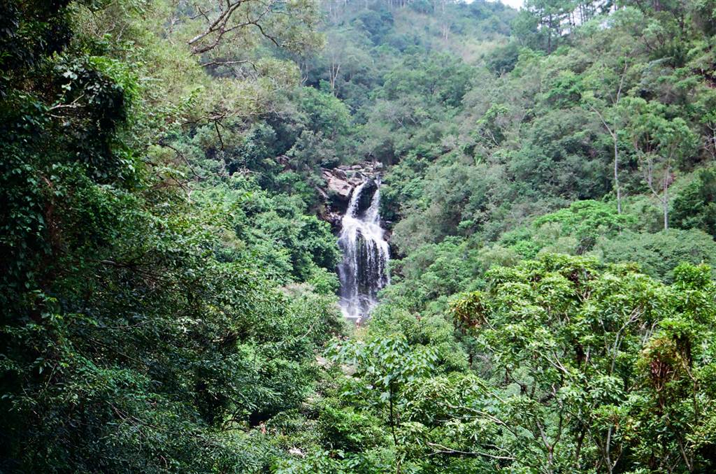
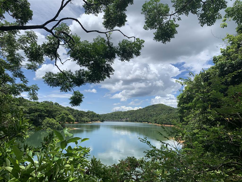
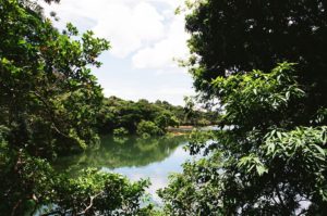
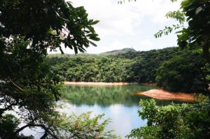
Photo: View of the Bride’s Pool at the Viewing Point
Notwithstanding the sadness of its story, the Bride’s Pool area was blessed with positive energies on this sunny day, especially where rapid streams filled the three main bodies of water, constantly overflowing. This water level was enabled by continuous rain for three days prior.
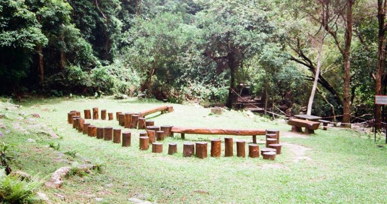
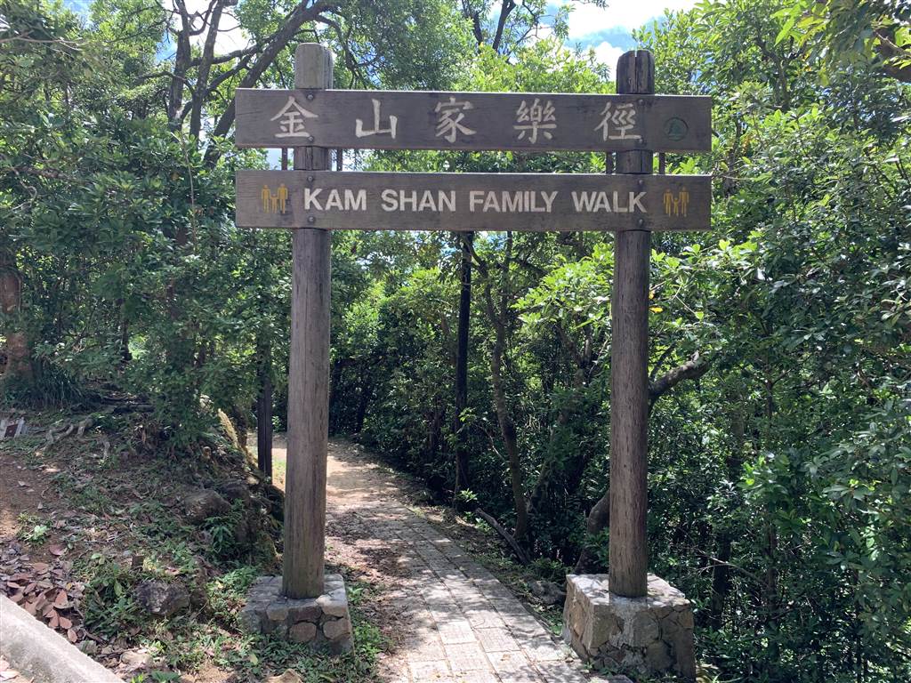
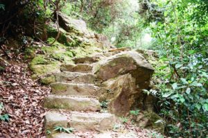
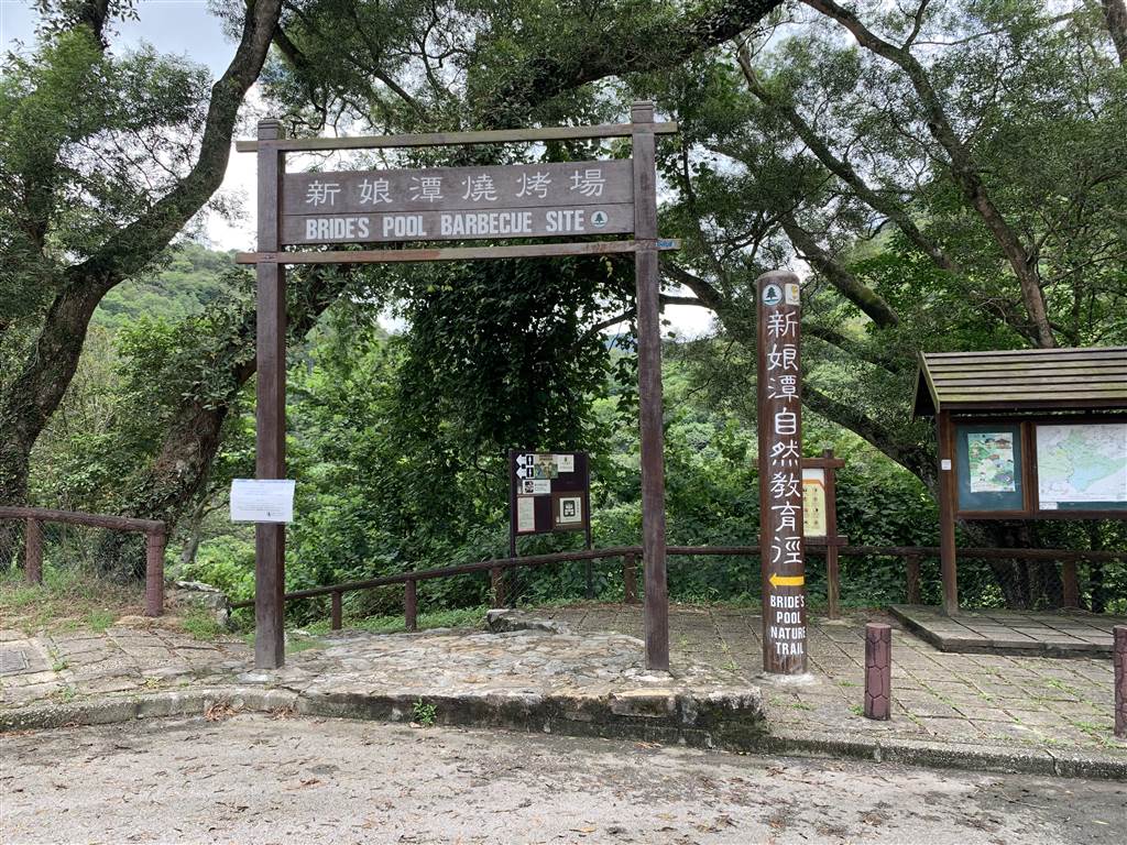
The Bride’s Pool Nature Trail
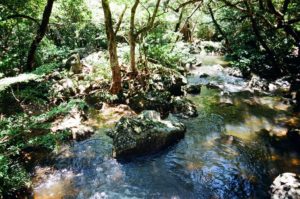
The Bride’s Pool Nature Trail begins on Bride’s Pool Road. After a long flights of stairs down, one would come across a stream.
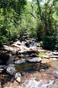
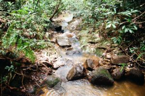
Water was the defining feature of the Bride’s Pool Nature Trail. The sound of water filled the air as I walked along. It was an animated sound, as the rapids splashed every tree and every rock along its way.
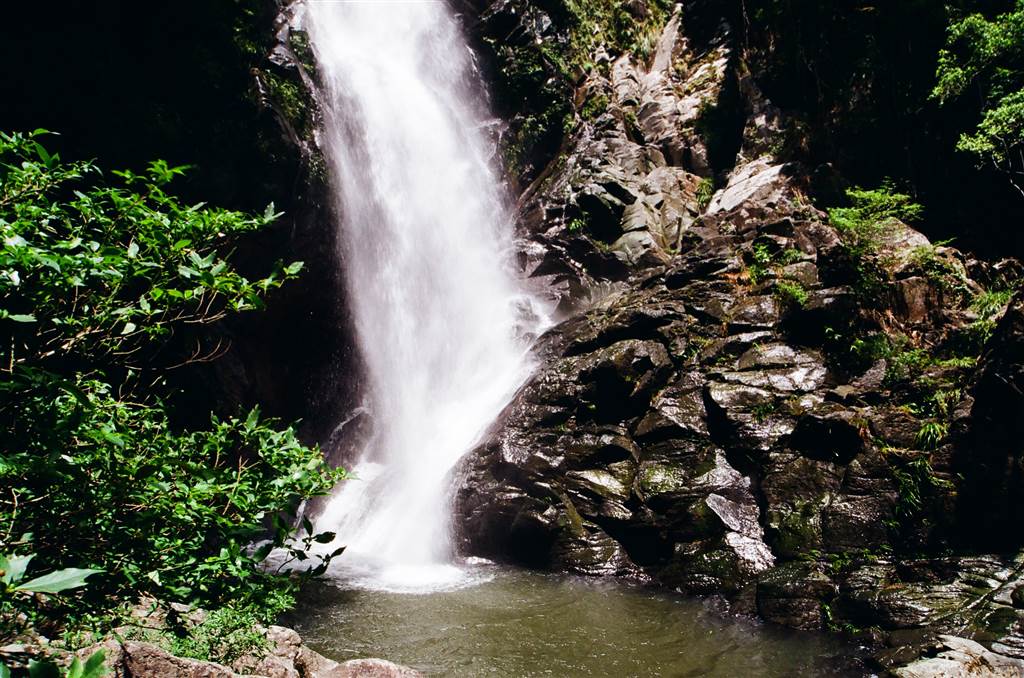
The Mirror Pool
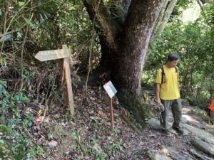
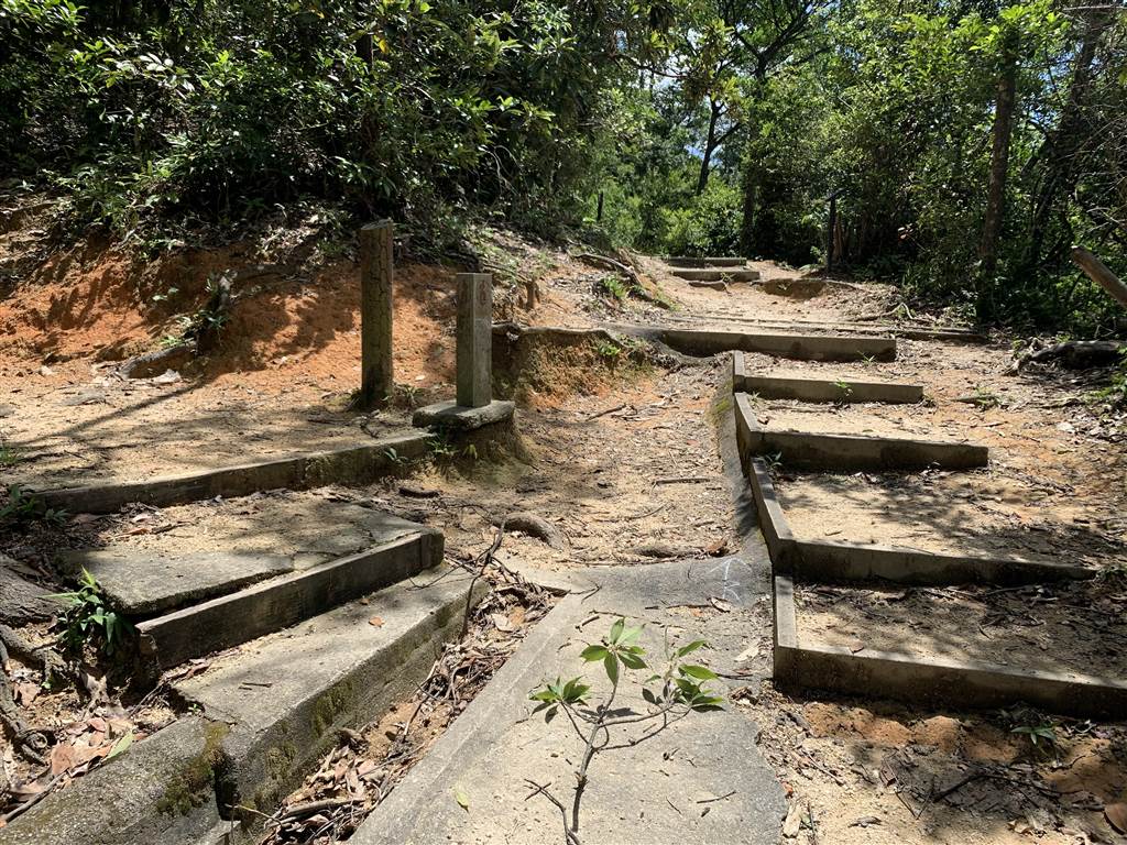
Keep on going and one would be at a crossroad. On the left is the bridge, and having crossed the bridge, there is a sign showing the way to Mirror Pool.
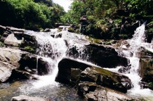
Photos: coming across the crossroad, with the stone sign on the left pointing to Mirror Pool, therefore take the left. The steps on on the next picture is the path to the Mirror Pool, about a 5, 10 minute walk.
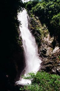
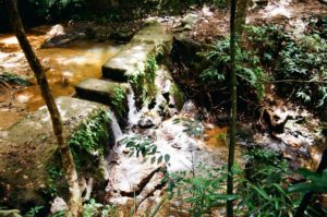
Be careful as the trees trap plenty of moisture and the path is covered with moss. After about ten minutes, I saw the Mirror Pool, running, running with water. The view was unexpected, and a little overwhelming as nature roared and roused all my senses. The view was exceptional too, as this would certainly be one of the biggest waterfalls in Hong Kong.
The area in front of the pool was small and there were people sunbathing there. I breathed deeply as I could almost taste the negative ions in the air. Because it was such an amazing scenery, I took my time there.
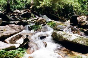
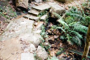
The Chunk Kik Pool
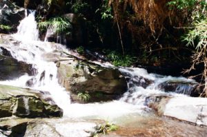
Heading back on the same way, I continued toward the Bride’s Pool Nature Trail. This sign indicates the way to Bride’s Pool, and the trail on the immediate left leads one to the Chung Kik Pool.
Photos: this is where the sign pointing to the Bride’s Pool and if going upwards turn to your immediate left to descend down to Chung Kik Pool. The picture on the right shows the direction going downward.
Although the pool is of a much smaller scale than the waterfall at Mirror Pool, the close distance with which you can observe the water makes it another exceptional experience. That is also the way to hike to the Bride’s Pool.
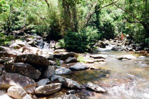
It takes treading the stream for one to be able to reach the Bride’s Pool. The government has not opened a land route that can reach it. Although I was very fortunate that day to have met experienced hikers who said they could lead the way, I stopped at Chung Kik Pool because there was a point that required a leap over the stream to the rock across. I was simply too scared to go on. Too bad, I thought, but better be safe than sorry.
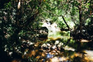
Upstream
Going back to the signage, the Bride’s Pool Nature Trail will take one to views of the upstream. I did manage to observe small potholes in the rocks there.
Going back to the entrance of the Bride’s Pool Nature Trail, at the pagoda there is a viewing point for Bride’s Pool, clearly visible though very, very far away. I did feel that I made the right decision not to go forward to the pool. It was risky.
How to Get There
To simply hike through the Bride’s Pool Nature Trail, the distance is short and a little more than an hour would suffice. There were some steps here and there but the trail was easy. I did spend considerable time admiring the water views so I ended up spending 2.5 hours in the area.
I went by private car and there is a small parking lot right outside the entrance to the trail on Bride’s Pool Road.
By public transport: During the weekend, Bus 275R runs through this part of Bride’s Pool Road from Tai Po Market. On a weekday, take Bus 75K or Green top minibus 20C at Tai Po Market, and get off at the Tai Mei Tuk Terminus. The walk between the bus terminus and Bride’s Pool is a bit long. I estimate the distance of about 4km (possibly an hour of walking).