Blog

Lost in the Beauty of Tai Mo Shan Country Park

Lost in the Beauty of Tai Mo Shan Country Park

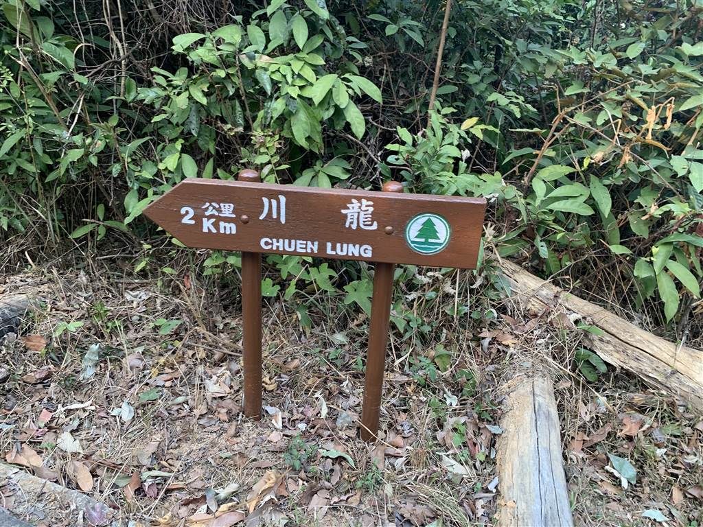
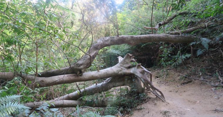
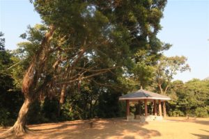
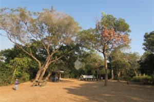
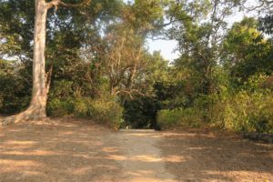
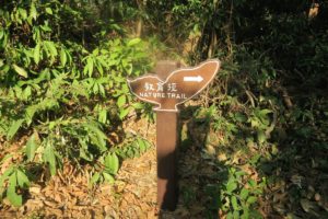
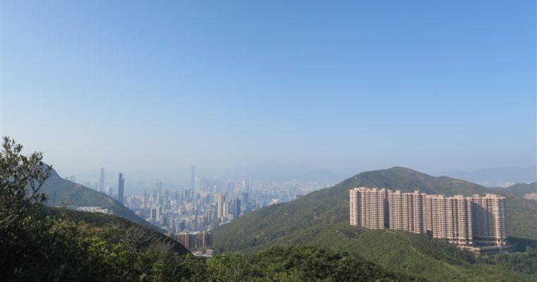
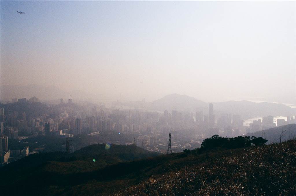
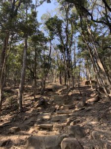
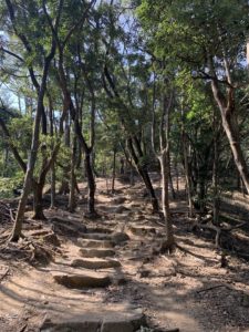
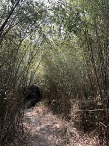
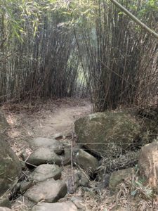
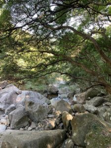
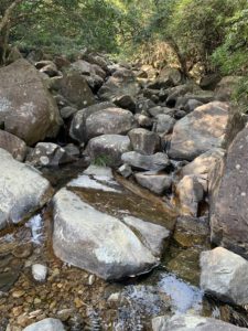
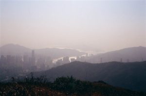
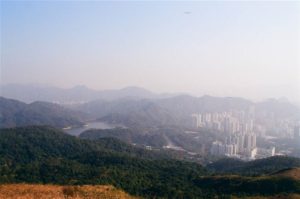
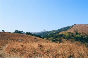
While I intend my hiking entries to be informational, I caution readers on this one.  It is not meant to be a guide, but rather an account of being lost in midst of the many diverging mountainous paths in Tai Mo Shan, the highest mountain 
The Tung Chung Fort

The Tung Chung Fort

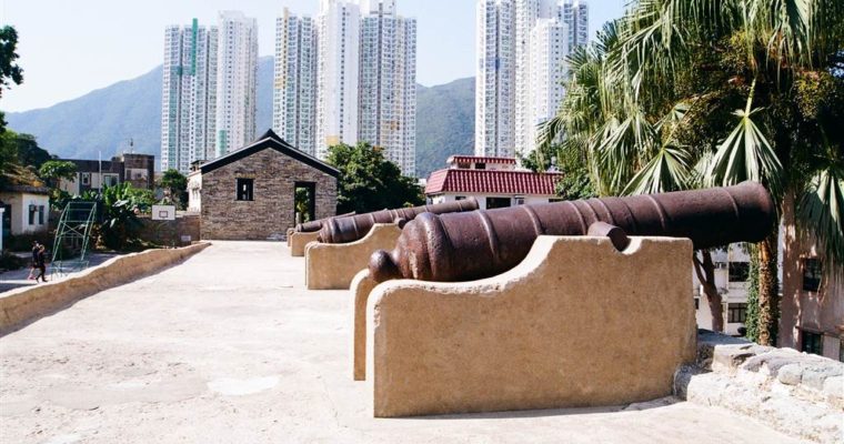
On this brilliant day we visited the Tung Chung Fort in Tung Chung. History During the Daoguang Reign, the Qing Government built two strategic naval camps to clamp down on the opium trade and the pirates in the South China Sea.  The site at Dapeng, 

From the Pineapple Dam to Lead Mine Pass

From the Pineapple Dam to Lead Mine Pass

The Lead Mine Pass is where the MacLehose Trail Section 8 meets the Wilson Trail Section 7.  Located in the northern end of the Shing Mun Reservoir Country Park, the Lead Mine Pass is as much a rest station as it is a landmark.

The Lead Mine Pass acquired its name from the mining industries in Hong Kong during the early part of the 1900s.  There were mines in the east of Shing Mun Reservoir.  Due to international price pressures, mining activities slowly declined during the 1960s.  However, there are still abandoned mine caves in this area.

The Trail

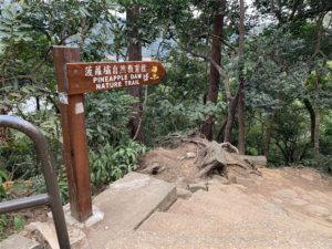
This day we went from the Pineapple Dam, our usual starting point.  It takes 15 minutes to go up the Pineapple Dam Nature Trail, where you will come upon the main paved road.

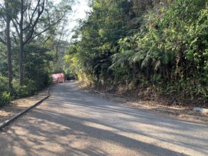
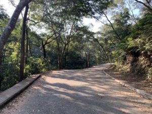
Head to your right, downward, for about another half hour or so.  These are the views on the way:

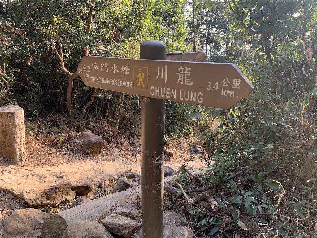
At this crossroad, take the path pointing to the Lead Mine Pass, on your left.  From this point on, it’s a gentle incline all the way to the Lead Mine Pass.

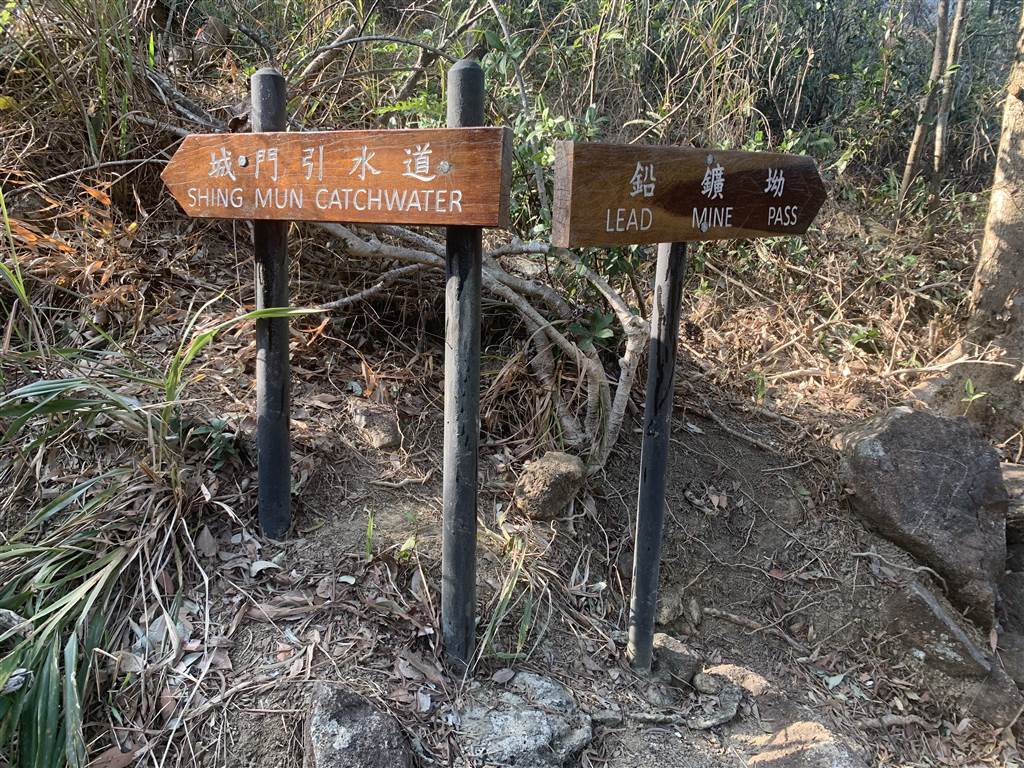
It will be just one way until you see this crossroad.  Again follow the sign for Lead Mine Pass and on your left.

About an hour and fifteen minutes after you begin the trail, you will pass by the Lead Mine Pass Campsite on your left.  That is when you know you are near the Lead Mine Pass.  Head on toward your right, on the path toward Tai Po.  The Lead Mine Pass is three minutes up this way on your left.


The whole trail takes only about 2.5 hours both ways.  There are a number of sites suitable for picnic along this trail.  The way is paved throughout from the end of the Pineapple Nature Trail to the Lead Mine Pass.  It is an easy, safe route with great views on the way.

For the Next Hike

To be honest, the views of Lead Mine Pass were not worthy of mention.  However, it is an important location as a few trails branch out to many other locations, both eastward and westward.

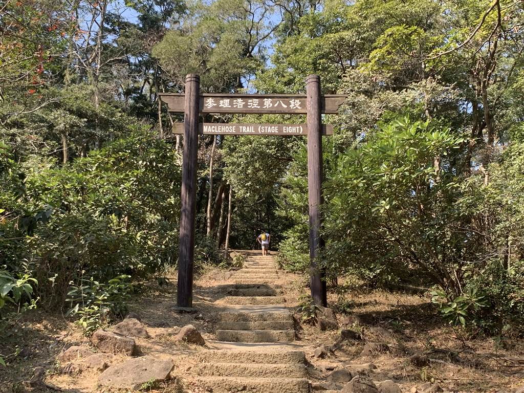
At the Lead Mine Pass, you will see the beginning of the MacLehose Trail Section 8.  This is the way up Tai Mo Shan.  The hike up should be somewhat rigorous, as it is a climb onto the highest mountain in Hong Kong.  However, fellow hikers told me that the open views are exceptional on this trail.  There are many aerial views of western New Territories.

The kind fellow hikers who told me about this area were heading out to the Tai Po direction.  They told me that it is the closest way back to civilization.  I was turning around and heading back to the Pineapple Dam, as I parked my car there.  They also told me that the trails in the area will allow one to scale Needle Hill and Grassy Hill, both are challenging trails but one would be amply rewarded with exceptional views.

These are all on my bucket list.

Dangers and Annoyances

Again, our monkey friends presented the greatest danger on this trail.  We planned on doing a picnic at the nice picnic sites.  As we spread our plastic cover sheets on our picnic bench, the monkeys launched a bold move and snatched the stack of crackers that we laid on the bench.  While we were not hurt, it was quite a scare.  Therefore, be very watchful when you spread food for a picnic.  Certainly not at any place where they are near.  There are plenty of rest areas and a lot of them have no signs of monkeys.  Be wise and don’t lose your crackers!

Source:

MacLehose Trail (Section 7) Shing Mun to Lead Mine Pass, Agriculture, Fisheries and Conservation Department.

MacLehose Trail (Section 8) Lead Mine Pass to Route Twisk, Agriculture, Fisheries and Conservation Department.

The Red Leaves of Tai Tong

The Red Leaves of Tai Tong

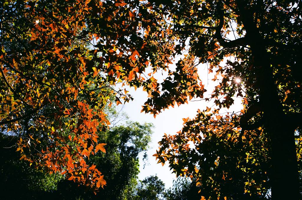
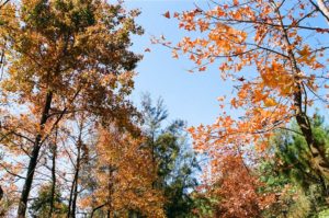
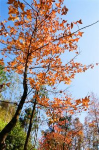
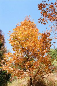
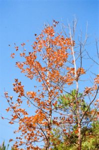
For all of December it is red leaves season in Hong Kong.  One of the most popular sites for viewing sweet gum trees is Tai Tong in Yuen Long.  In fact, the red leaves are so popular that there is a special route called the 

The Cheung Sok Island of Sunny Bay

The Cheung Sok Island of Sunny Bay

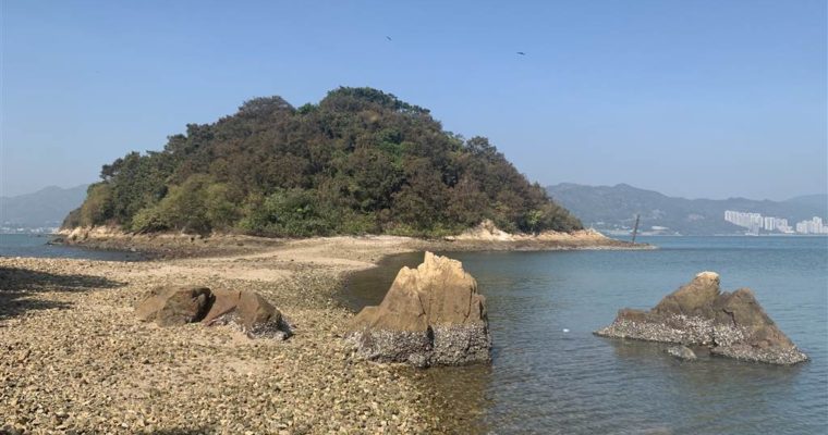
With no car this day we decided to visit the outlaying islands.  I opted for an easy trail in Lantau Island, a stroll on the seaside of Sunny Bay.  The trail ends at the Cheung Sok Island. The Cheung Sok Island is an uninhabited island 

Little Hawaii

Little Hawaii

This late autumn day blessed us with generous sunshine.  We had a family outing with a group of young children.  There is plenty of water to play with in this area of eastern New Territories.

The Little Hawaii of Tseung Kwan O used to be a private pool for rich tycoons, perhaps a few decades ago.  There are three significant points of interests on this trail.  The first one is the Lin Yuen Terrace Falls, and I would say this is where you see a rather pleasing water scene.  Then there is the Little Hawaii Dam, and it is more a stream than a waterfall.  Then finally the farthest end of the trail is Tai Ngau Wu, which we did not visit this time.

Apparently, Little Hawaii was a very popular destination for the annual primary school outings, again perhaps a few decades ago.  Yet this was the first time I have even heard of this place.  It did not disappoint, however, and I had a wonderful time with the children.

The Little Hawaii Trail

On Wing Lai Road, we entered the Little Hawaii Trail.  At the crossroad we took to our left and visited the first waterfall, the Lin Yuen Terrace Falls.  The path was a gentle incline.

We were on this part of the trail for perhaps some fifteen minutes, when we felt the distinct presence of water.  We heard the stream singing.  It became cool, breezy, and a fresh humidity tapered the heat of this sunny day.

The children could not have had enough of this downstream pool.  Not just our children, everybody else searched for a spot to set down.  There were quite a lot of people indeed.  To me, taking off the shoes for a cool wash was about enough.  The children changed into their swimsuits and played.

Soon enough they had their attention on the living things in the stream.  There were some really small fishies.  The fathers showed them tadpoles, with the nets that other tourists left behind.

We left the Lin Yuen Terrace Falls and upward to the Little Hawaii Dam.  Back at the crossroads again we turned left, and took on a gentle incline for another 20 minutes or so.  We came across the stream.  As compared to the Lin Yuen Terrace Falls, this area is much more open.  There was plenty of sunshine.

Then we walked up to the Little Hawaii Dam just to take a look.  For activities, the downstream area was safer.

The lesson for this day is, don’t get the children excited over tadpoles.  They continued to play with what tadpoles they saw at the Little Hawaii Dam area.  They did not want to leave, and as a result we had our lunch really late in the afternoon.

Dangers and Annoyances

At the Lin Yuen Terrace Falls it is possible for one to tread the waters upstream.  As always, I do not recommend any risk-taking, particularly when it comes down to water trails.  I am certainly not experienced enough to do that, so I only went up about ten meters to take my photographs.   I then stayed at the downstream pool with the children.

Another annoyance is the mosquitoes.  The Lin Yuen Terrace Falls area are well-shaded.  This is the kind of habitat that grows fierce mosquitoes.  Therefore bring your mosquito repellent!

How to Get There

We went by private car and parked at Wing Lai Road.  Parking was not so easy and we had to park illegally on the roadside.  The closest MTR station is Po Lam and from it a 20-minute walk to the entrance of the Little Hawaii Trail on Wing Lai Road.  There are many road signs pointing the way to Little Hawaii in the Tsung Kwan O Village area.

The Good Man of Nam Long Shan

The Good Man of Nam Long Shan

On this first visit at Nam Long Shan, we ran into heavy rain when we were half-way through the hike.  We ran back for cover and sat at the pavilion at the Nam Long Shan Road Rest Garden.  A mid-aged man was also taking cover 

From the Hatton Road Morning Trail to Mount High West

From the Hatton Road Morning Trail to Mount High West

We walked up the Peak via the Hatton Road Morning Trail and then ascended even higher to Mount High West. The Hatton Road Morning Trail We have done the Hatton Road Morning Trail before in order to see the Pinewood Battery, which lies about half-way 

The Reservoir Islands at Tai Lam Chung Reservoir

The Reservoir Islands at Tai Lam Chung Reservoir

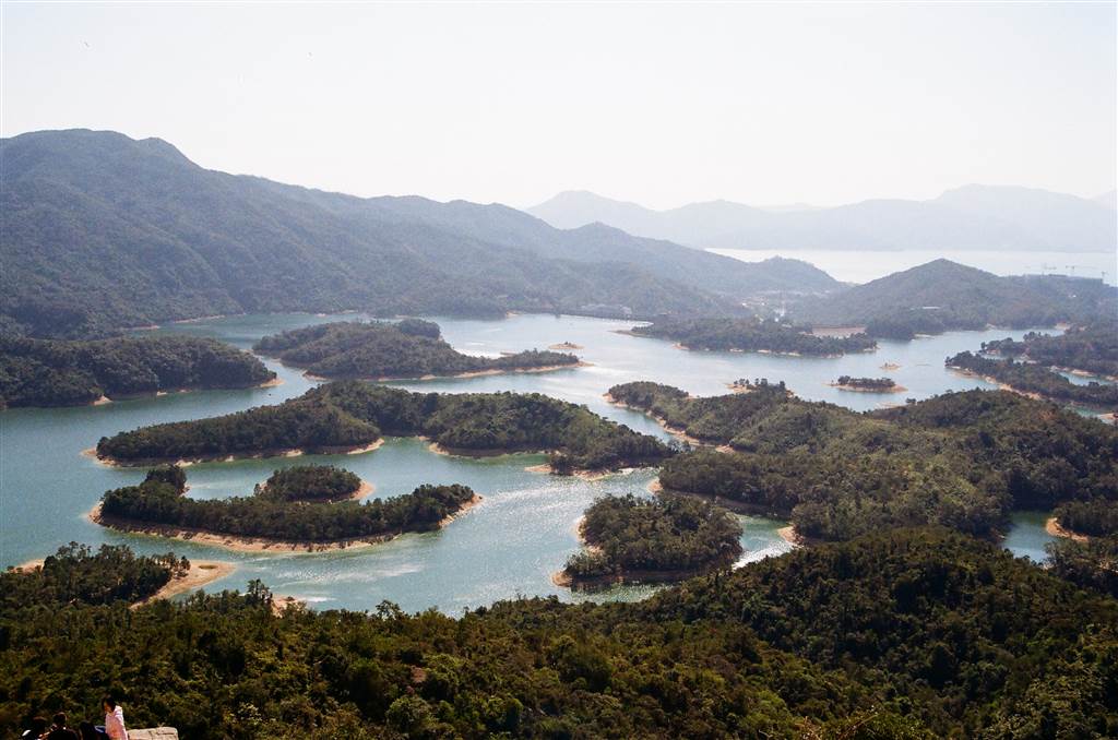
The Tai Lam Chung Reservoir was the first reservoir in Hong Kong built after WWII.  Construction began in 1952 and completed in 1957.  It is also the largest reservoir in the New Territories, with a capacity of 21 million cubic meters.  The main dam of Tam Lam Chung Valley enabled the water to well.  Although the valley was flooded, what used to be the hilly tops remain exposed above the reservoir.  As such, the spectacular view of many islands form.  The locals thus call the reservoir “Thousand Island Lake,” or with “Reservoir Islands,” as its official name.

The trail that leads up to the Reservoir Islands Viewpoint was once known only to experienced hikers.  Then the Hong Kong Government constructed a paved walkway so that everyone can enjoy the views safely.

Photos: a panoramic view of the Reservoir Islands

The hike on this trail is very easy.  From the Tai Tong Shan Road Parking Lot we followed signs for the Tai Lam Chung Reservoir.  At the crossroads watch out for the signs pointing to the Reservoir Islands Viewpoint.  The whole trail, including picture-taking time, took us about 2 hours.  On the way you will pass by maple tree groves, which turn red around early December.  That is also the time when waves of tourists will visit this trail.  There are also two temples, one below the stone bridge, and another closer to the entrance way to the Viewpoint.

At this point, it is only 200 meters on gentle upward steps, and you will arrive at the viewpoint in no time.

Exceptional views like this certainly draw many visitors throughout the year.  Therefore expect crowds there.  People are generally civilized though, so be sure to take turns at the viewpoint to take your photographs.

How to Get There

We went by private car and parked at the Tai Tong Shan Road Parking Lot.  There are meter spaces there.  Bus K66 runs from the Long Ping West Rail Station.  Get off at the Tai Tong Bus Stop.  However, the walk between the bus and minibus stops and the beginning of the trail would take some 30 to 45 minutes.  Therefore I think a better arrangement is to take a taxi from Yuen Long and get off at the Tai Tong Shan Road Parking Lot.

Source:

The Wikipedia on Tai Lam Chung Reservoir.

The Tai Po Waterfront Park

The Tai Po Waterfront Park

From picnicking to jogging, from playing street music to bicycling, there is something for everyone at the Tai Po Waterfront Park.  Wedged between the Tai Po Industrial Estate and Fu Shin Estate, the park prides in its open space of twenty-acres with thirty points of