The village of So Lo Pun is one of my most looked-forward to journeys on the bucket list. Well, readers wouldn’t be surprised because this is another so-called haunted village in the Sha Tau Kok area, and I am all for Angkor Wat sceneries in Hong Kong.
The Itinerary
Luk Keng ⇒ Kai Kuk Shue Ha (10 minutes) ⇒ Fung Hang (half hour) ⇒ Kuk Po (50 minutes) ⇒ Yung Shue Au (1.5 hours) ⇒ So Lo Pun (total of 2.5 hours, 1 hour between Yung Shu Au and So Lo Pun ).
On return:
So Lo Pun ⇒ Yung Shue Au (1.5 hours on the coastal route) ⇒ Luk Keng (3 hours).
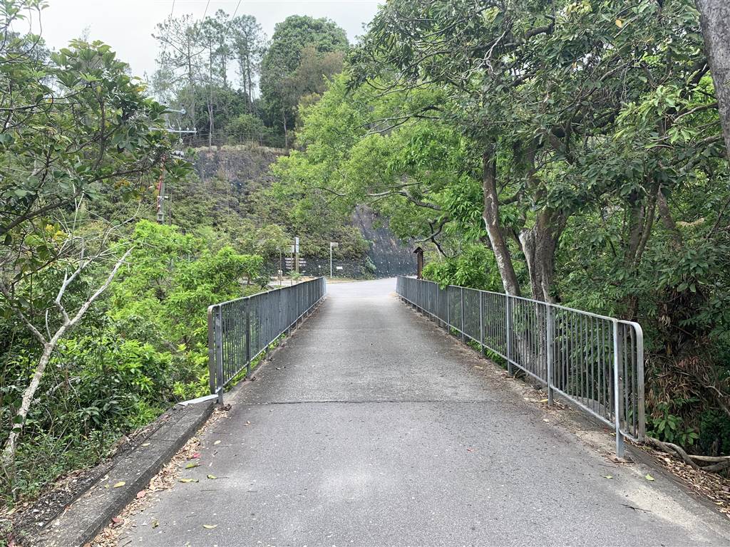
I have visited the abandoned village of Yung Shue Au twice before. Therefore there was no picture taking this time until I arrived at So Lo Pun. The way between Luk Keng and Yung Shue Au was an easy hike of 1.5 hours. However, hikers beware: the one-hour inland route between Yung Shue Au and So Lo Pun was not so easy, with some steady steps up and down.
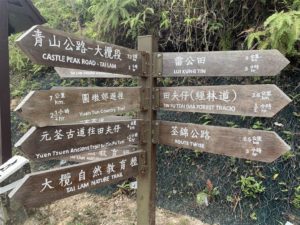
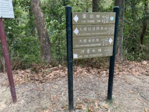
At the village of Yung Shue Au, look for the sign to Lai Chi Wo in the middle of the village. That is the direction for the inland route (as opposed to costal route, see below) to So Lo Pun.
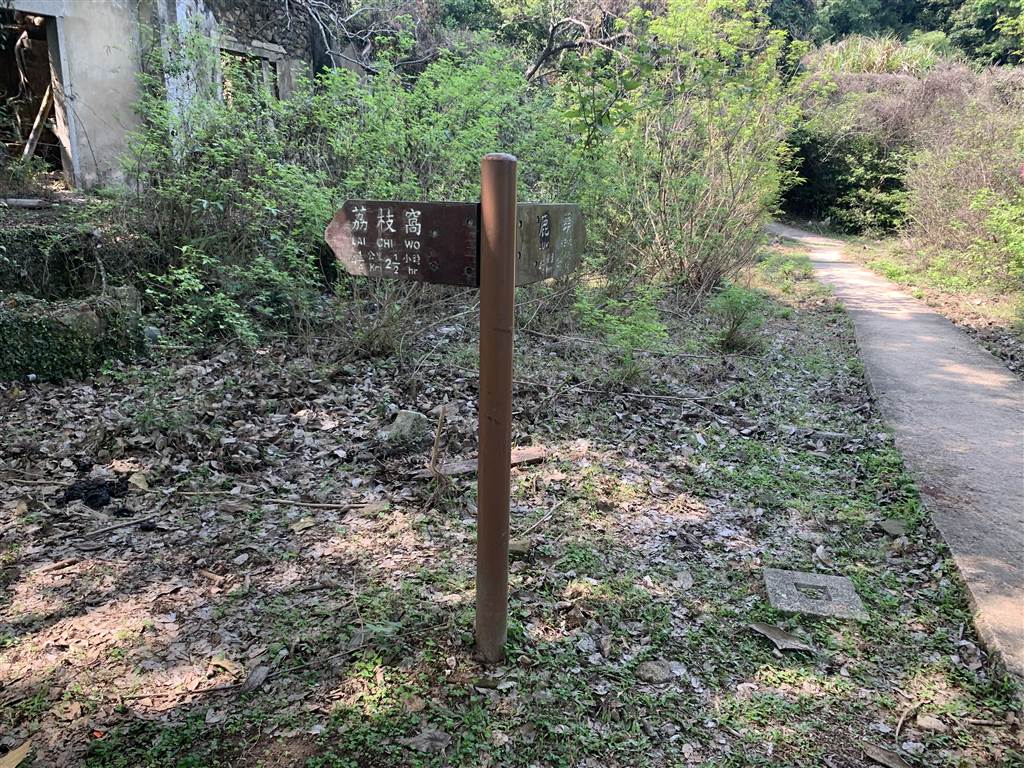
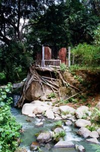
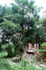
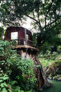
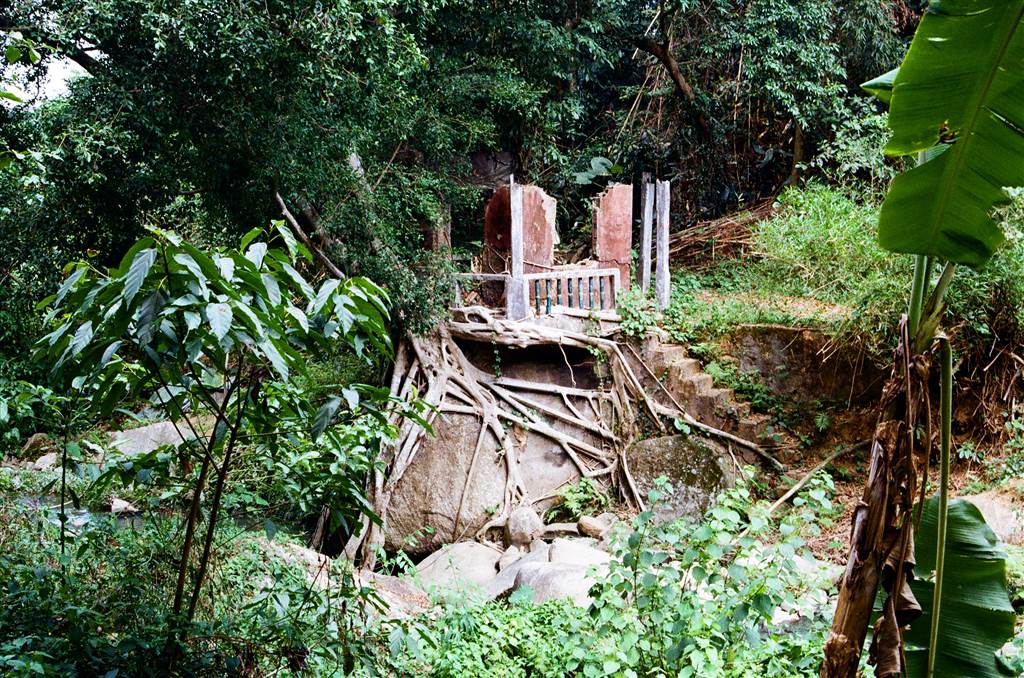
Exit the Yung Shue Au Village on this route, you will cross a stream and soon pass by some eerie sceneries:
Two and a half hours after embarking from Luk Keng, I arrived at the Village of So Lo Pun.
So Lo Pun and its Folkloric Eerie Tale
There are rumors that So Lo Pun is haunted. Some people say that the villagers disappeared overnight. Some others say that compasses stop working at the village. Perhaps this rumor about the compass originates from the name. For in Chinese, So Lo Pun means “the locking of the compass.”
However, the name of So Lo Pun is actually a recent acquisition. According to entries in the San On County Register of the Qing Dynasty (a few hundred years ago), there was a village called So No Pun. The middle name “No” in Chinese means “brain.” In those days, “brain” could refer to mountain ranges. Therefore the old name simply refers to a low valley plain surrounded by mountains. When the British came in 1898, the place name was mistakenly recorded as So Lo Pun, and thus the place became “compass locked” in Chinese. Perhaps this could dispel rumors of compasses not working in the village.[i]
I have also read from a blog that describes the village as huge with hundreds of houses in ruins. The bloggers say that one can get lost within it. This is along the same lines of compasses losing direction in the area. Many hikers do warn against going there alone.
Well, the buddy that was always hiking with me last year has no time for hiking now. I had no choice but to head out on my own. There were few hikers on that day, and I really did not see anyone on the way between Yung Shue Au and So Lo Pun.
Yet surprisingly I heard a group of hikers making their way into the village the same time I was. We chatted a bit about this village’s real story.
Impressions of So Lo Pun
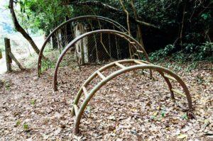
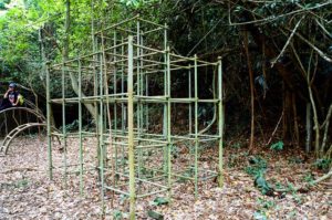
On entry into the village, I first came across some really old-fashioned recreational facilities. The monkey bars wear a layer of moss, looking aged, and perhaps a bit tired. Life must have been vibrant once here, if villagers cared enough to build a playground for their children.
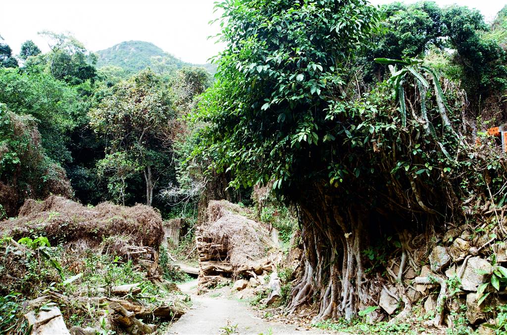
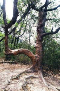
Photo: An Old Tree Greets Visitors at the Village Entry
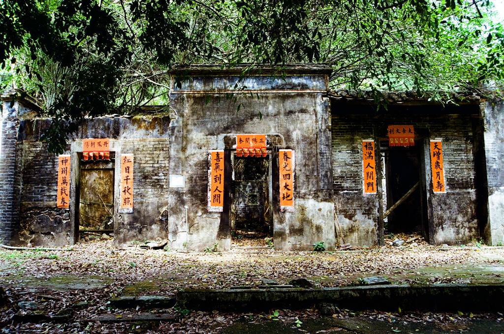
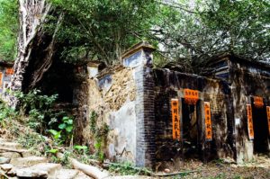
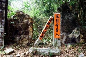
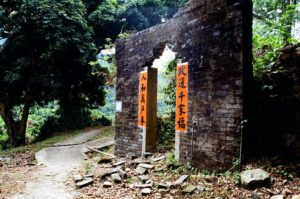
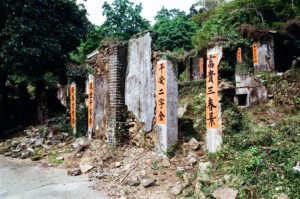
What impressed me greatly was the new couplets that were pasted onto the door frames of the houses, which were all in ruins. This is a sure sign that someone has been there recently. The fellow hikers told me that the villagers of So Lo Pun take pains to come back to this old site every year during the Chinese New Year. That explains the Chinese couplets.
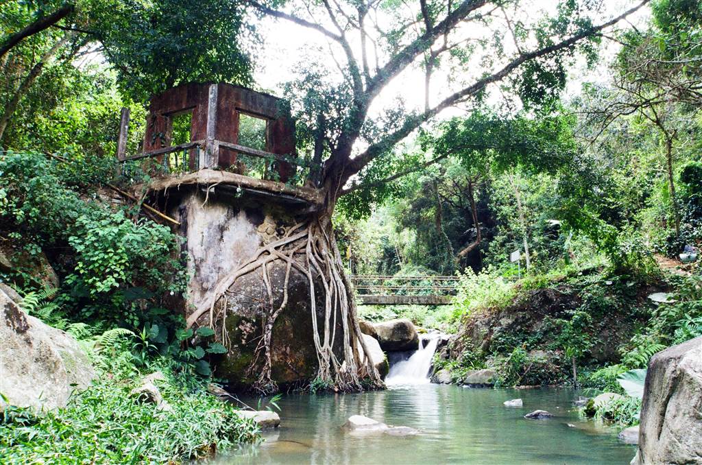
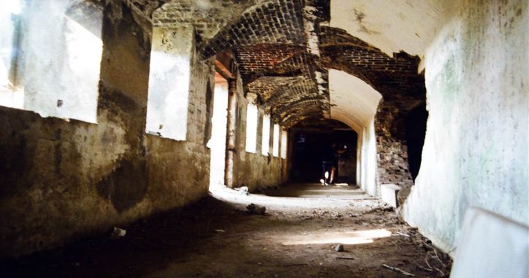
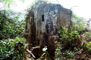
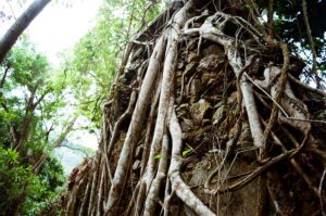
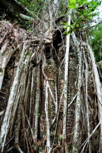
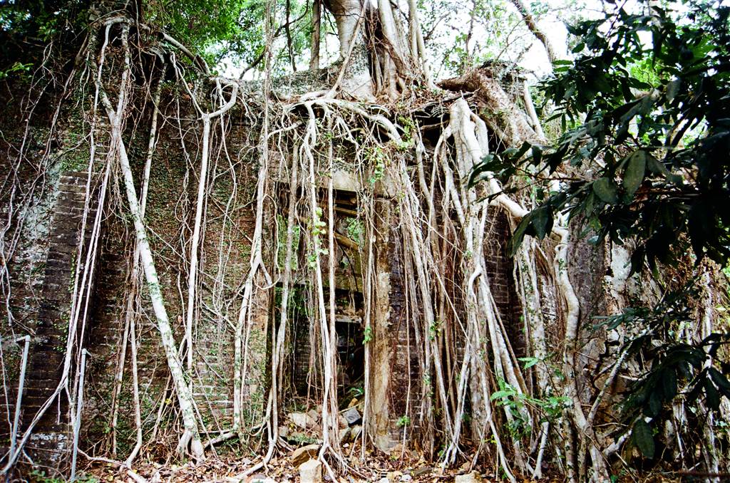
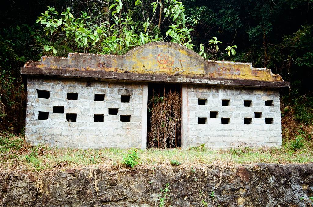
Yet this clear human presence in the ruins accentuates the eeriness, perhaps unexpectedly so. In the hollows behind the mere facades that remain of these houses, old banyan trees with their overgrown aerial roots bespeak decades of abandonment. If the rumors are that people discovered untouched food on dining tables with all villagers gone, then the newly-posted couplets embody the same theme: traces of human activity in a wholly-vacated village.
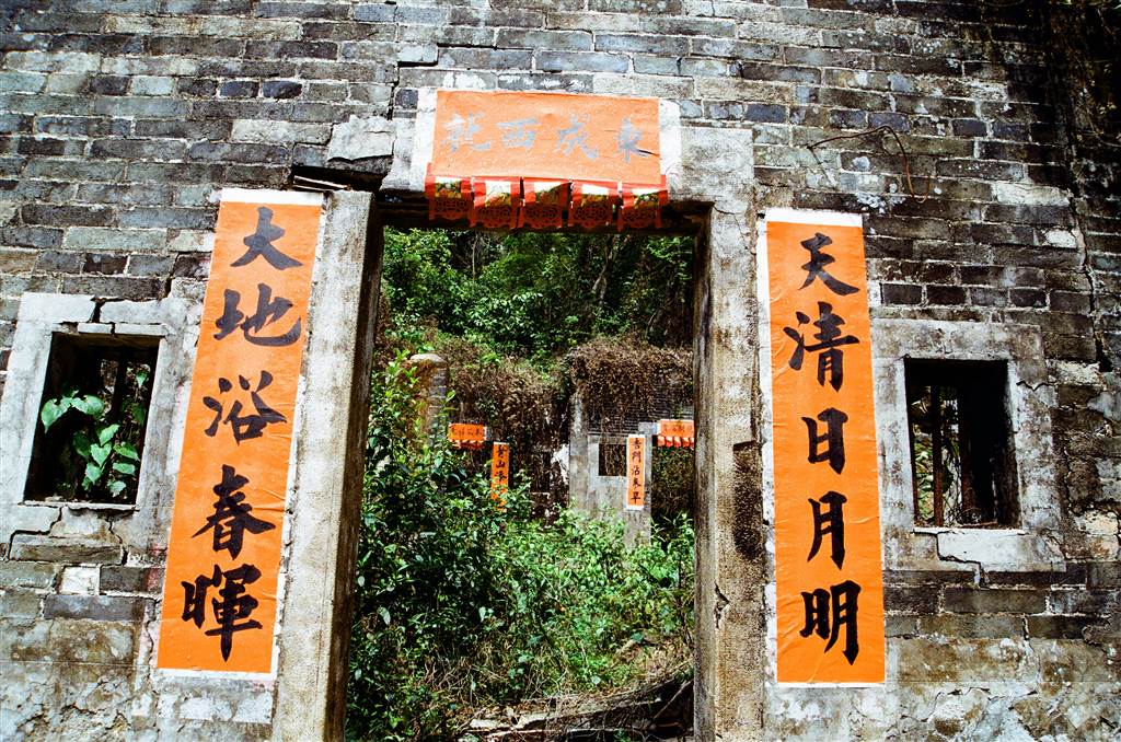
And no, the village is not so big that one can get lost in it. The houses line up in an orderly fashion in three rows. The tourist would just go through one row after another, and the touring is done. Surely, So Lo Pun as a village was much better organized than Yung Shue Au.
Finally, on my way out I saw the ruins of what could have been a bank. This shows that the village must have had glorious days, although long buried in its past.
Some Standard History
So Lo Pun was a branch village from the neighboring Lai Chi Wo Village. The villagers were mostly of the Wong clan with Hakka origin. It is a point of personal interest that the Wong’s of Lai Chi Wo Village have also moved to the Hakka Wai walled village in Tsung Pak Long in Sheung Shui, which is my home village.[ii]
In its heyday during the 1970s, So Lo Pun had a population of 170. However, most villagers have moved away in the 1980s, from which point the village became vacant. In 2008, the local press reported that the villagers of So Lo Pun attempted to run orchards as a way to attract tourism. They chopped down many, many valuable old trees.[iii] It is illegal in Hong Kong to down trees without government approval.
Many of the villagers of So Lo Pun have moved abroad by now. But clearly those that can come back to the village do so, during the Chinese New Year. Like the neighboring Yung Shue Au, there were plans, as agreed between the villagers and the Hong Kong Government, to redevelop the land during the last decade or so. There does not seem to be recent developments on that front, however, and both Yung Shue Au and So Lo Pun remain in ruins.
The Way Back – a Difficult Hike on the Coastal Route
Fellow hikers have long left the village after a quick round of photo-taking. I decided to stay after for a bit, to savor the views and the solitude. That extra half-hour spent in the village was only good for that time.

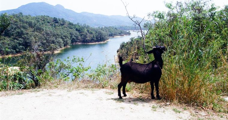
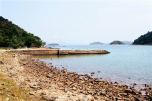
Photo: Exceptional Views of the Coast on Exit from So Lo Pun Village
As I embarked on the coastal route, I regretted of not leaving the village with the fellow hikers. Half hour on the coast was just a taste of the arduousness to come. I wanted to go coastal because climbing up the mountain behind So Lo Pun on the inland path seemed too strenuous. I reasoned that there would be no upward climbing on the coast, so even though it certainly would take longer, I opted for the coastal route.
It was difficult because there was hardly a “path,” so to speak. I trekked on the coast, on large rocks, on sand, on the marshes of mangroves. There was a point that I feared I stepped into quicksand. I also tripped over a long fallen branch. But I had gone too far in the coastal route already. There was no going back to retake the upward inland route. So I persevered. Upon reflection, it was doable. It would have been much better if I had gone with people who had actual knowledge of the coastal area.
About fifteen minutes before reaching Yung Shue Au (about 1 hour 15 minutes after leaving So Lo Pun), I saw hiking ribbons that lead one upward. I followed the ribbons and went inland. It would eventually lead me back to the coastal route, and soon I reached Yung Shue Au. I learned from the blogs that, at that point one should take the inland route. Follow the ribbons, because the corresponding coastal route would have been very difficult if not impossible.
1.5 hours after leaving So Lo Pun, I reached Yung Shu Au Bay. I then went back to the very familiar inland route to head back to Luk Keng.
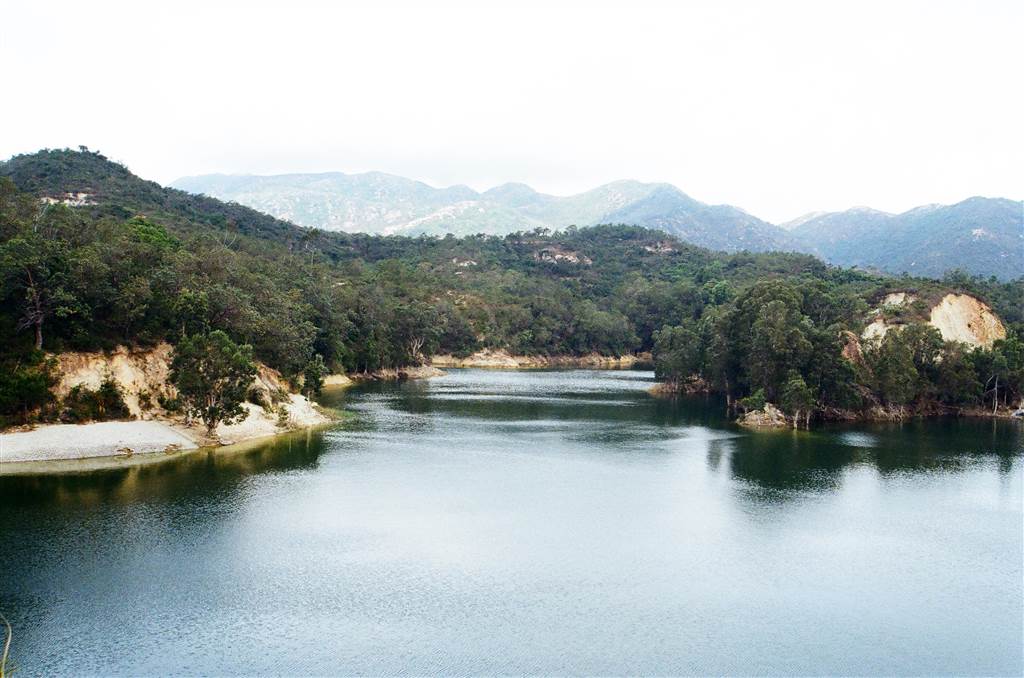
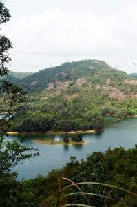
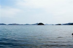
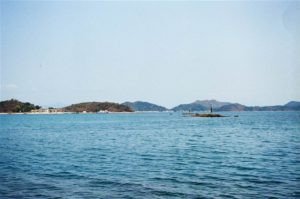
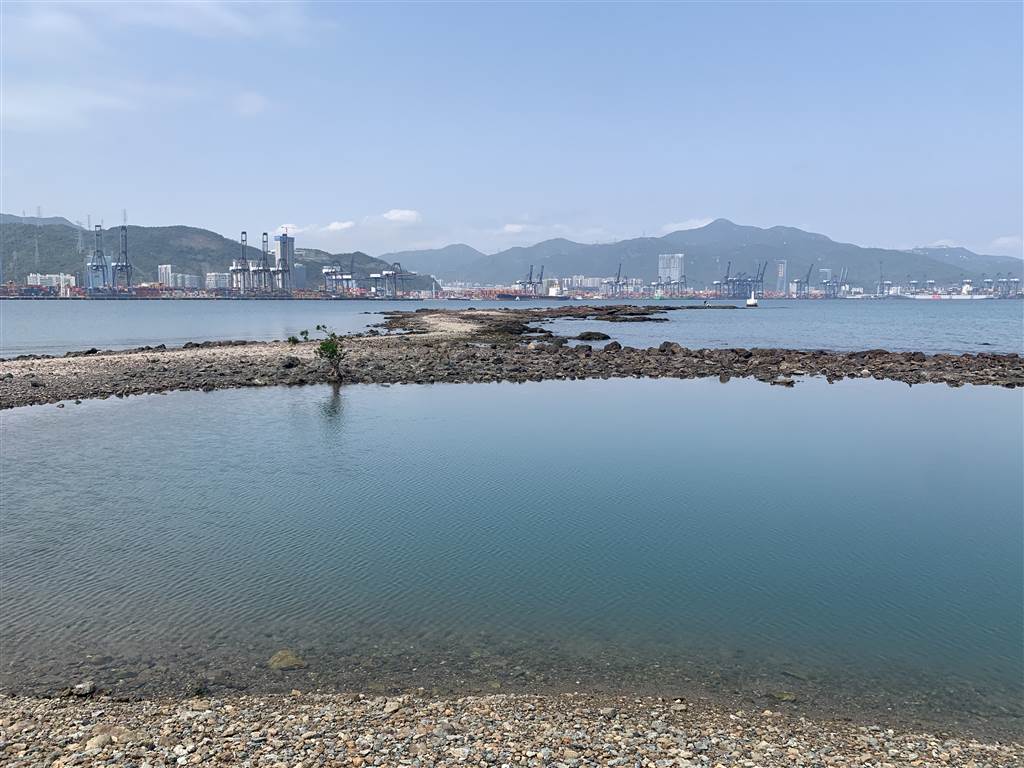
Surprisingly, I did have enough mind power to notice the beautiful views on the coast. In this well-written series of articles about Sha Tau Kok, the author explains the “five mouth” geography as the villagers understood their native habitat. The word “mouth” refers to the protruding sections of the meandering coastline. This is in Chinese (and actually, a type of Chinese used by a much older generation). It is an interesting introduction because it conveys the worldviews of a generation bygone.
Photos: Views on the Coastal Route on Return
I began hiking regularly in Hong Kong since early last year. I do know that my limit for hiking is six hours. This trip took me six and a half hours and I was exhausted. But I was very happy with the photographs, and this made it all worthwhile.
[i] The Past and Present of Abandoned Villages.
[ii] The Wikipedia on So Lo Pun.
[iii] So Lo Pun Village Illegally Chops Down Feng-shui Trees, Ming Pao, July 7, 2008, available here.