The Way to Kiu Tau Islet in Sharp Island
In my last excursion to Sharp Island, I went around 1:30 pm and did not manage to see the Kiu Tau Islet at low tide. I crossed half of the tombolo and had to return. On this sunny autumn afternoon, we could not go on a Kau Sai Chau hike as planned because I did not allow enough time. So I quickly headed on over to the ferry carriers and sorted out an alternative route for the afternoon.
The Elephant’s Nose and the Kissing Rocks
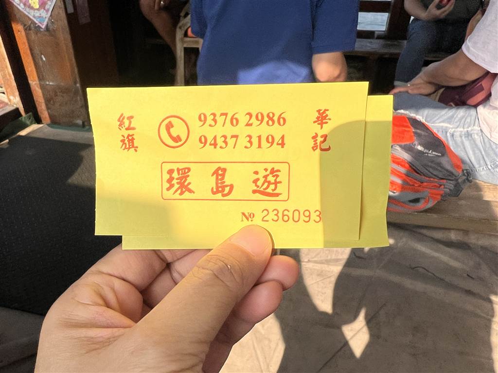
We found Wah Kee, which offered a look at the caves of Sharp Island for $50.
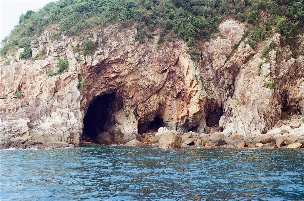
The ferry carrier took us to the southern tip of Sharp Island. We would be seeing the Elephant’s Nose and Dragon’s Eyes Caves, and some interesting rocks.
These are the caves that we saw on the ferry.
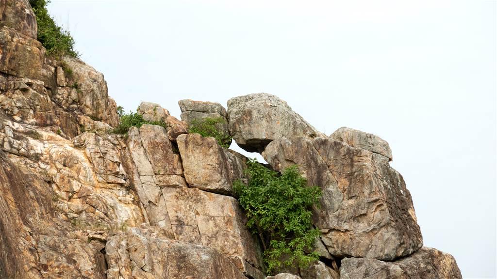
The Kissing Rock shows what seems to be a man kissing a coy woman.
After touring the caves, the ferry dropped us off at Sharp Island. You may choose to stop there, or you could go on to the journey back to the Sai Kung Pier. We were delighted when we headed on to the island, for the tombolo shows its full contours and there is a wide stretch of rocky sand to walk to the Kiu Tau Islet.
The Word on the Street for Low Tides at Sharp Island
Tourist information always advise visitors to check the tidal reports of the Hong Kong Observatory for the times of low tides. But the charts are actually very difficult to read and in fact it does not pinpoint the tidal movements at Sharp Island.
The ferry helmsman told me the rule of thumb for low tides at Sharp Island. He said that you should go on the 1st or 15th of each month on the lunar calendar. That is when the tides recede between 2pm to 4pm, which would make the perfect afternoon walk on the tombolo.
For other days of the lunar month, the low tides might come so late in the afternoon that it gets dark when you are about done with the walk, especially during the winter. There is also a schedule for last ferry departures at Sharp Island in the late afternoon.
The Walk to Kiu Tau Islet
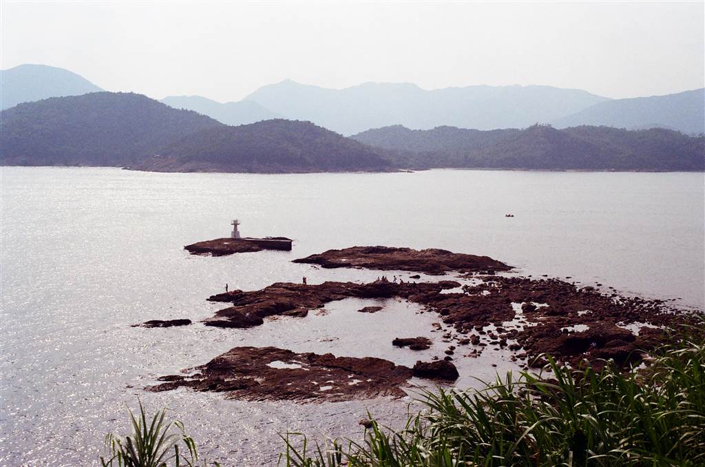
First of all, this is the contrast between the high tide and the low tide at the tombolo.
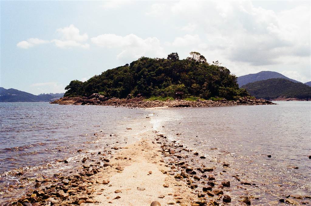
Photo: At high tide, part of the tombolo is submerged in the water.
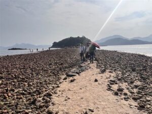
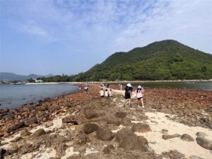
Photos: At low tide, all of the rocky path is exposed on the tombolo.
There are times when the water covering the stones is shallow and therefore you can remove your socks to get through the somewhat submerged tombolo. But I find it dangerous because you can easily slip and fall when you walk on those rocks. In my previous visit, I went through half of the tombolo and decided to turn back.
The walk and the short exploration of the Islet, plus an extended rocky stretch out in the sea to the west where the lighthouse is, will take about an hour.
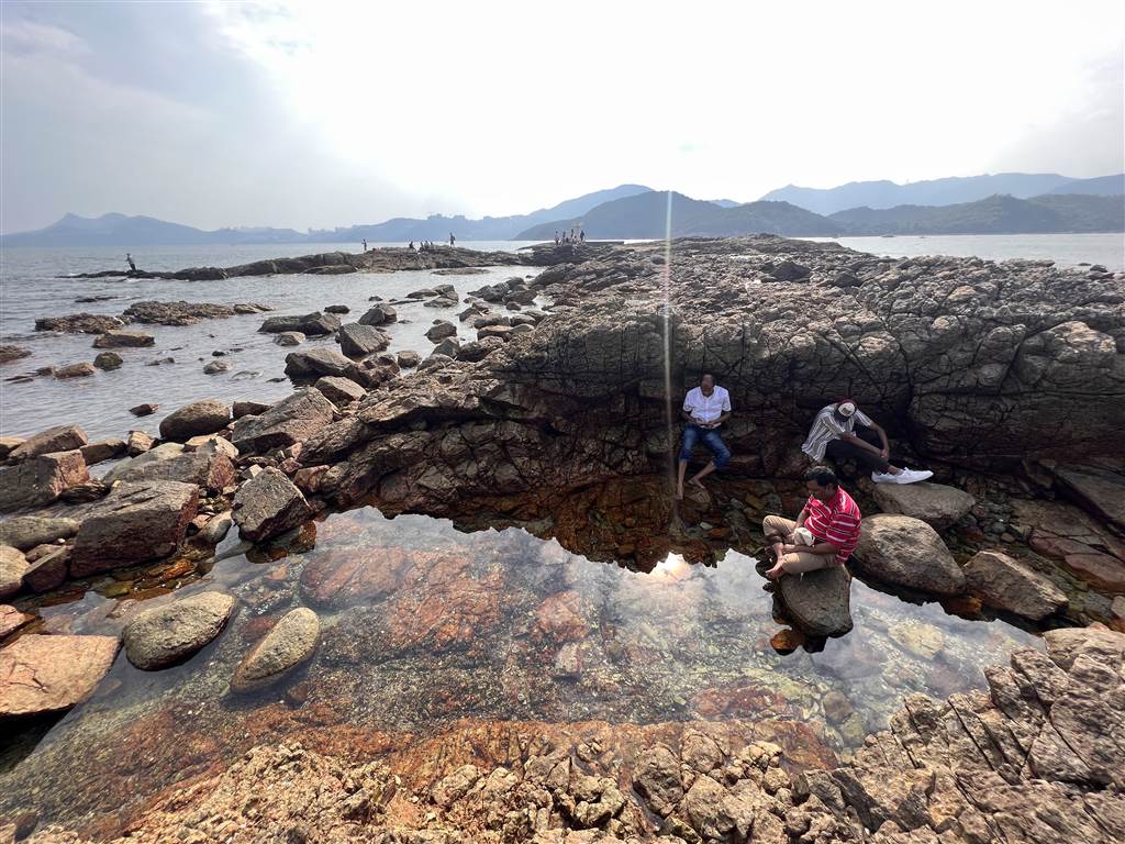
Photo: An exploration of the rocky stretch after reaching the highest point of the Kiu Tau Islet. The Lighthouse (not accessible by foot) lies on the west.