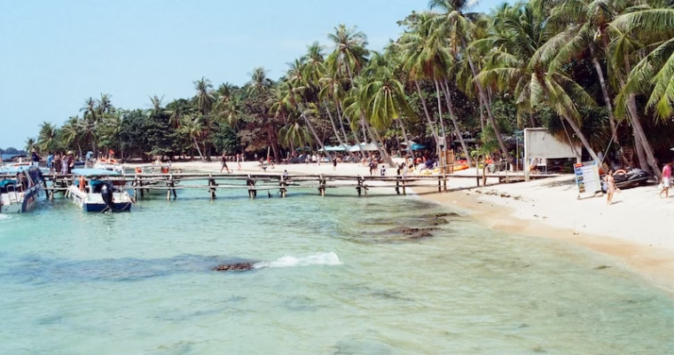
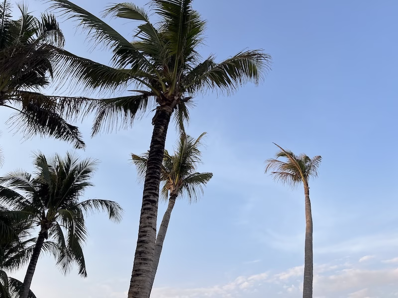
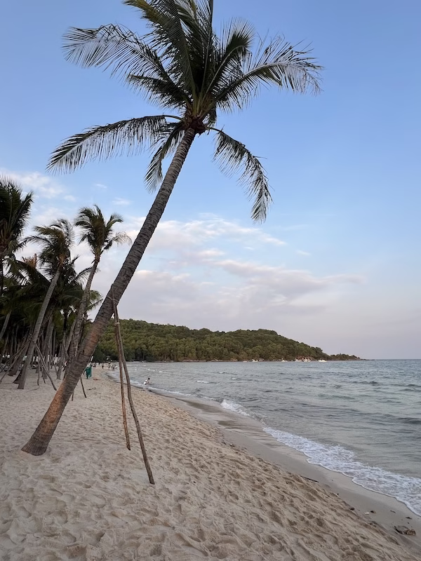
Phu Quoc, meaning “prosperous land” in Vietnamese, is an island that lies south of Cambodia and west of Vietnam in the Gulf of Thailand. Known as the “Pearl Island,” this largest island of Vietnam is blessed with pristine waters and long stretches of beautiful white sand beaches. Moreover, it has 21 islets. The islets and fishing villages are must-visit sites for ocean lovers, myself being one.

Phu Quoc is also the only part of Vietnam that does not require a VISA for U.S. passport holders. I went on a vacation in Phu Quoc earlier this year in 2026.
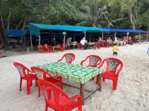
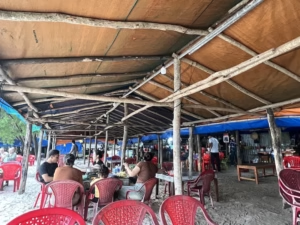
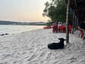
Its economy being increasingly dependent on tourism, Phu Quoc comes up with many initiatives that cater to the full spectrum of tourist expectations. I tend to like things that are “natural,” and so island hopping and sandy beaches were top priority to me. I spent 5 days and 4 nights there and honestly it was not long enough for me. I could be visiting the same beach every day for 7 days without a whiff of boredom.
Tickets and Accommodation
There are direct flights to Phu Quoc from Hong Kong. Only budget airlines fly this route, however, so you would be taking the same plane (once daily) whether you are a Cathay Pacific designated flyer or a Hong Kong Express commoner.
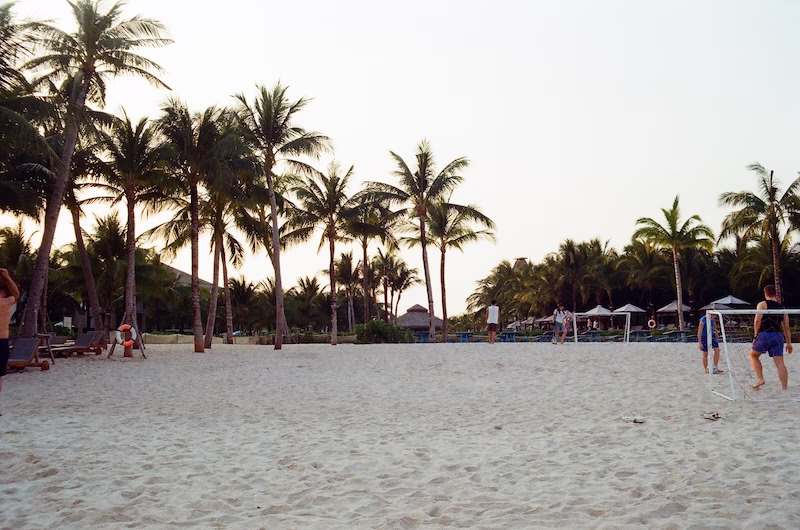
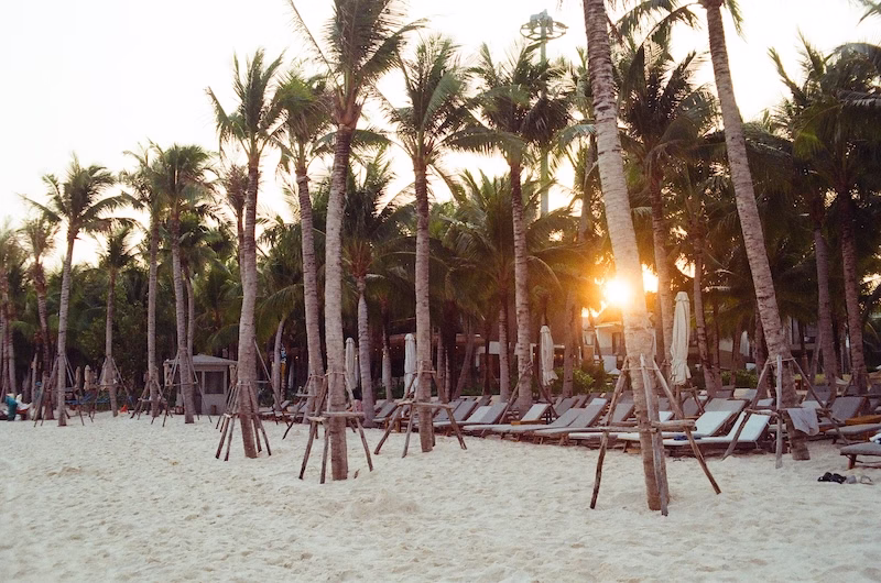
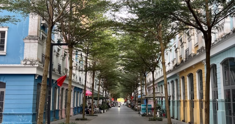
In terms of hotels, the choices are plenty. There are budget hotels and special theme hotels as well. You can opt for a cottage-styled “room” by the sandy beaches. I chose a boutique hotel situated 10 minutes by walk from the beautiful Khem Beach. The hotel is called Skyline Hotel and it is within a resort town. The price was very affordable. Its being within a resort town also means that there are many choices for food and leisure if you do not feel like venturing out to the island at large. I wanted to seriously clock in some beach time and that I did do.
Note that Phu Quoc is a big island, and if you decide to stay in the southern part of the island, getting to the northern part would entail transportation costs and quite a bit of time — likewise in the eastern-western direction.
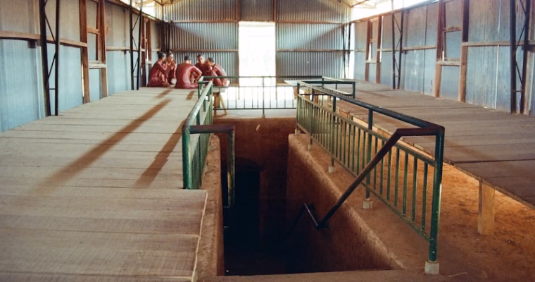
Therefore, depending on the kinds of activities that you want to do, choose your accommodation that is closer to most of the sites you want to visit. Since island hopping was the most-anticipated activity for me, I stayed in the southern tip of the island, in the town of An Toi. Coincidentally, it was also close to the Coconut Tree Prison, which would really be the only significant site of history and heritage that is worthwhile to visit in Phu Quoc. I walked from my hotel to the prison in my first day there.
Things to Do
Many bloggers recommend a host of things to do in Phu Quoc and I will share my two pennies here. I have ruled out activities that appeal to families and young children, such as the Vinpearl Safari Phu Quoc; as well as gimmicky touristy things like the Kiss Bridge (but I did have coffee at Sunset Town).
I did not think I would enjoy the night market scene either, so I also did not visit the Cho Dem Phu Quoc Market. If you do plan on visiting the Cho Dem Phu Quoc Market, there is a whole lot of information online for navigating the food scene alone.
I was very interested in hiking in the national parks, but guided tours were few, and I learned that a popular trail was changed due to some construction plans. Out of safety concerns I did not do any hiking on my own.
In terms of religious and heritage sites, the Ho Quoc Pagoda is known for sunrise viewing, since it is on the eastern seaside. I found this temple to be a bit too “new” as a religious venue, so I did not pay a visit there.
These are the things that I opted to do:
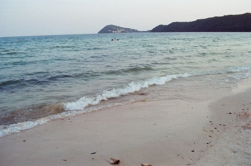
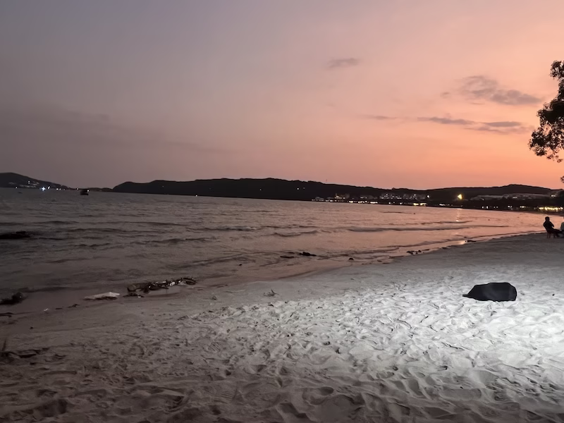
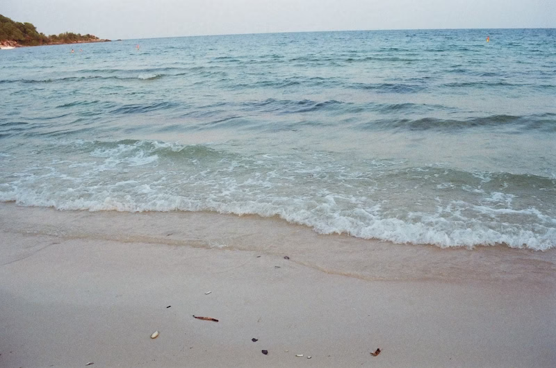
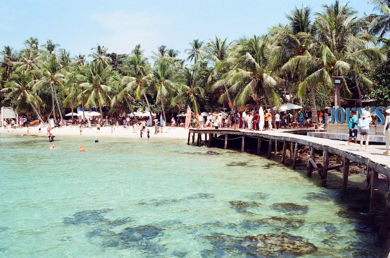
I visited the Coconut Tree Prison, which tells stories of hatred and torture that sprang from the ideological battles of the 20th century in Vietnam. I went to Khem Beach countless times. For the ocean, I did a one-day island-hopping tour. There was a very touristy “ocean walk.”
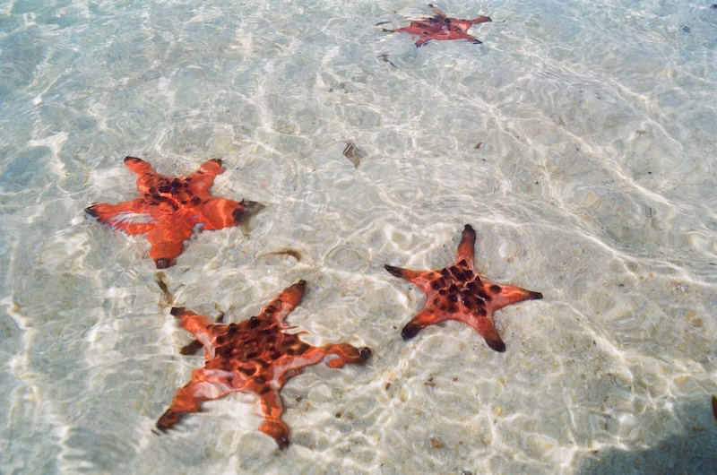
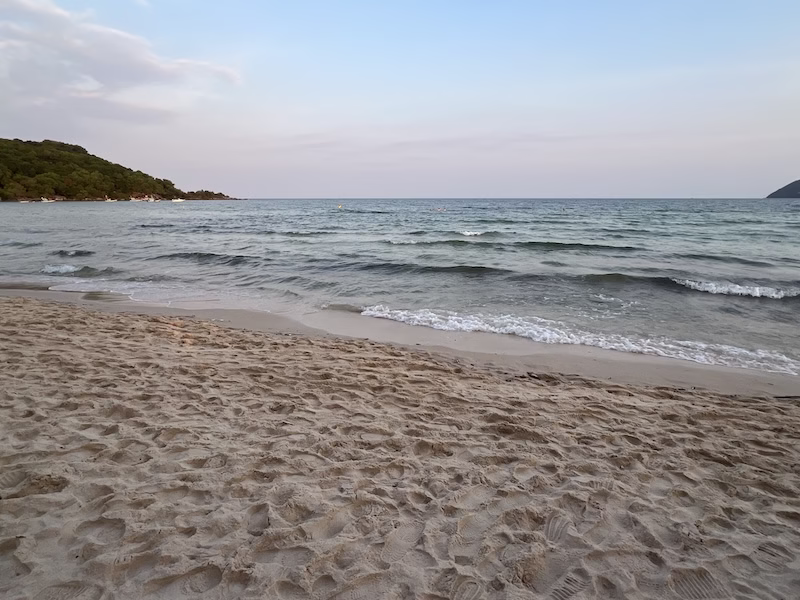
For more ocean still, I visited the fishing village of Rach Vem and from there the fishing boats took me to the Starfish Beach. I had to hire a car for the whole day there, as Rach Vem is in the far north of the island, as such I also visited the Hai Duong Pepper Farm. My touring of that part of the island ended in a brief visit at the Dinh Cau Temple, which is perhaps “old” enough as a heritage site for me.
Phu Quoc is famous for its pearls, so I did visit a pearl vendor and bought some pricy jewelry.
Food
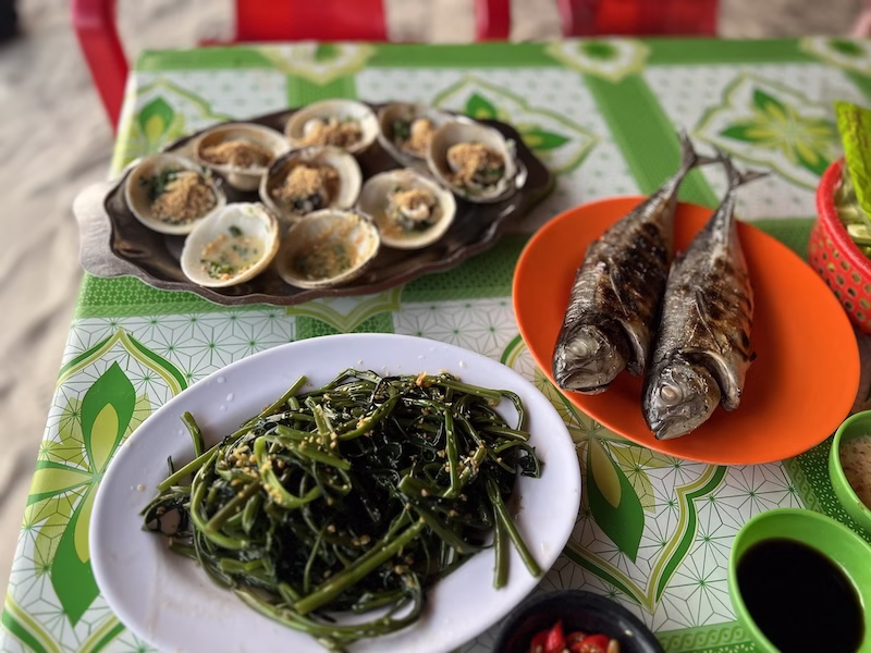
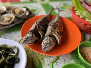
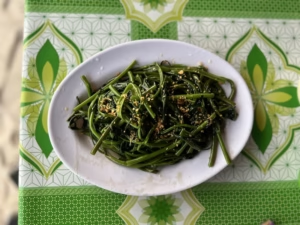
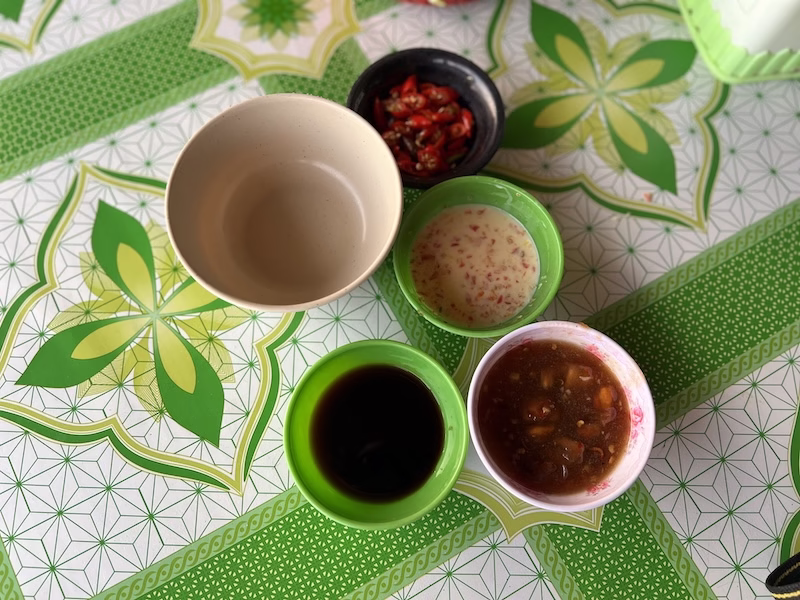
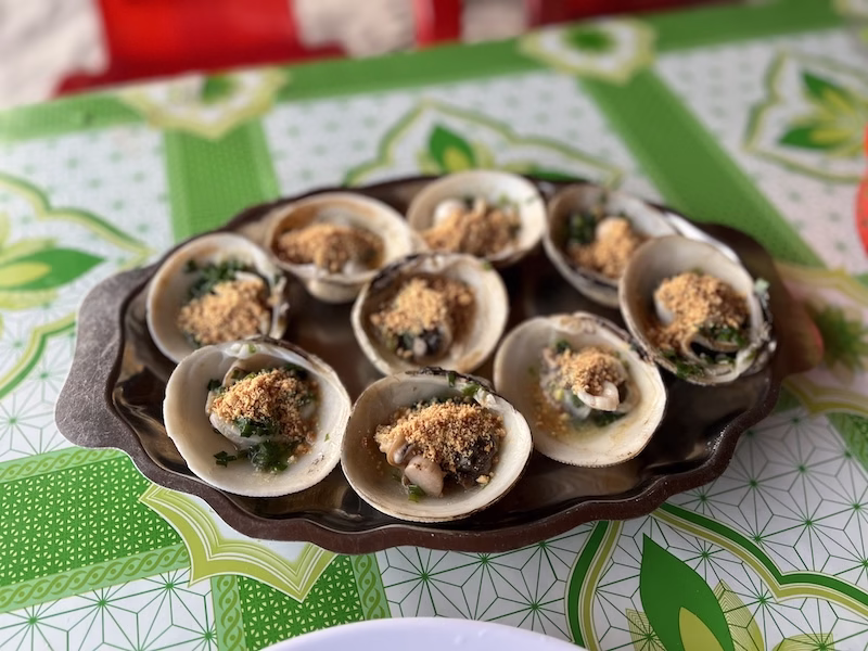
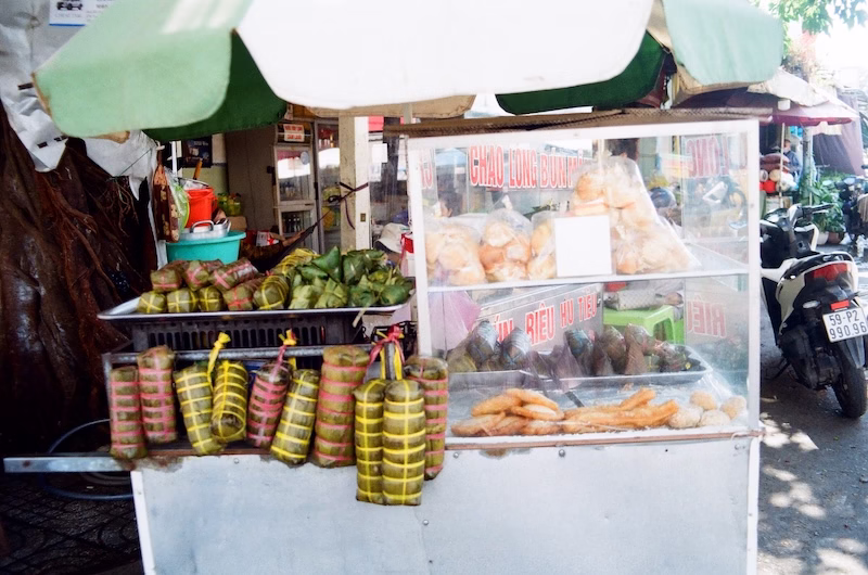
Needless to say, Vietnamese food is the staple in the island. Seafood is good, especially done in the Vietnamese style, but it is not exactly cheap anywhere. There are many options for more adventurous cuisines. I had a pizza lunch and it was beyond satisfying. A food entry is forthcoming, as always.
Currency and Connectivity
These two items should be taken care of upon your arrival at the airport. Be connected before you head out to the island. A SIM with unlimited data costs 185,000 ₫ and the staff will change your SIM for you right there. Likewise with exchanging DONG. I prefer bringing USD with me anywhere for money exchange. Once you are in the island, it is a hassle to have to look for money exchange vendors, and the rates likely won’t be much better either.
In my resort town there was an ATM, where I successfully withdrew cash in the local currency with my U.S. credit card. But ALL of my Hong Kong cards, credit or debit, did not work.
Annoyances
The only point of frustration that I had with Phu Quoc was the long wait at the immigration checkpoints at the airport, and it was a major frustration. Phu Quoc is notorious in that department. Allow for at least one hour of a wait to exit the airport on your arrival.
For departure, you had better allow for 3-3.5 hours to navigate the incredibly chaotic check-in counters at the airport. In fact, my flight out of Phu Quoc was delayed simply because the passengers didn’t manage to get through the check-in on time for departure.
Now, I have been to Vietnam five times by now and I have never had the occasion where people approach me to suggest slipping in a little money to shorten the wait at immigration. Apparently, that practice remains today, and depending on whether someone approaches you at the airport, a US $20 bill will get you through much faster. I can’t speak on this because I have never had such personal experience, but even if I were approached, I would rather wait an hour.
As with all of Vietnam, Grab is the go-to ride-calling app. You would have to tie your credit card with Grab, but the great thing is that it is fully bilingual now. It is a good idea to get it set up before your trip.
I was all set, and looked forward to getting pampered in Phu Quoc, the prosperous land.