A Walk in the Clouds in Tai To Yan

There was quite a bit of an overcast on this day, but the weather was cool and so we decided to go ahead with a walk on Tai To Yan. The itinerary of the day is to begin in Fanling and enter the mountains via the Wu Tip Shan Path. Then the journey proceeds southward to Kei Lak Tsai, North Tai To Yan, Tai To Yan, Ma Tsai Tong, and exit in Tai Po.
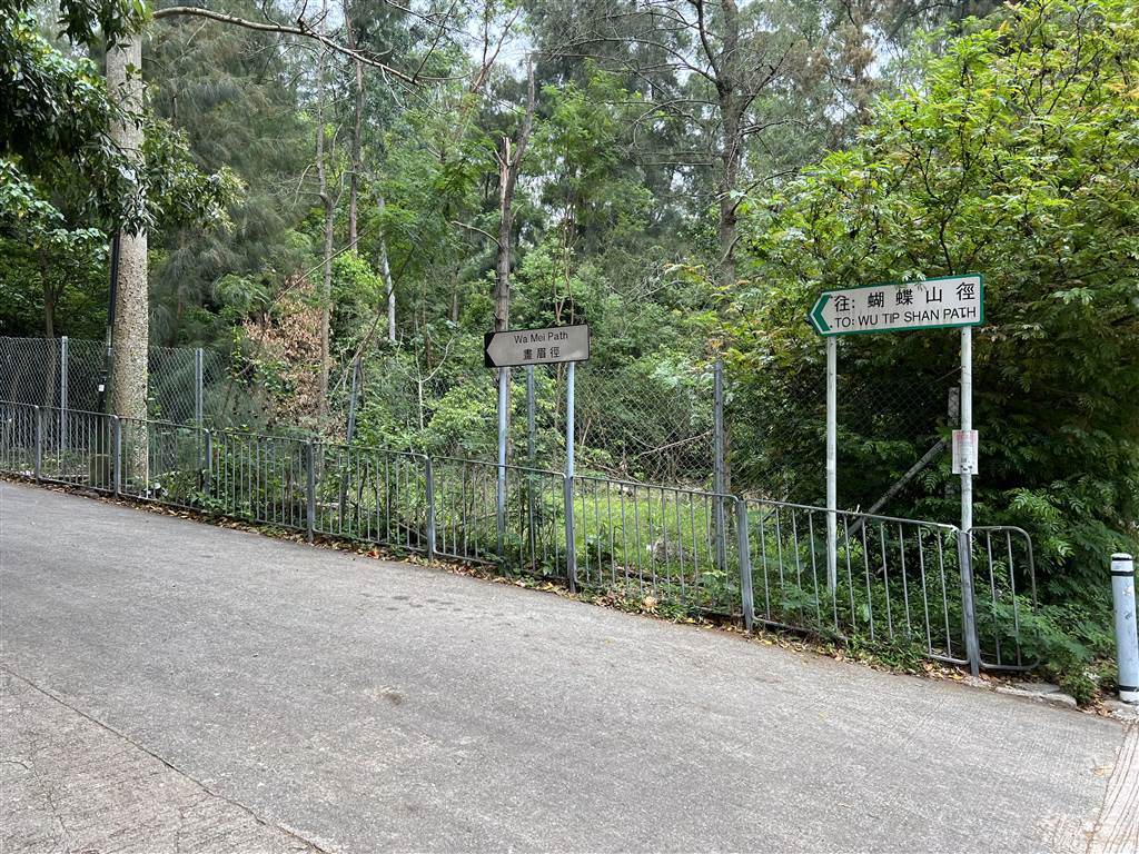
We entered the Wu Tip Shan path from Wa Mei Path. The Wa Mei Path is on Wah Ming Road, about a five-minute walk from the Yung Shing Court shopping mall. Enter the trail when you see the road sign for Wa Mei Path.
Head up the slope. On Wa Mei Path, there was first a section of gentle incline on a slope. At this point, I made a left and took a somewhat more circuitous slope up to avoid the more direct way on stairs.
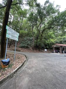

Photos: A gentle incline up from Wa Mei Path, left photo shows where I turned left to go upward to continue on Wu Tip Shan Path.
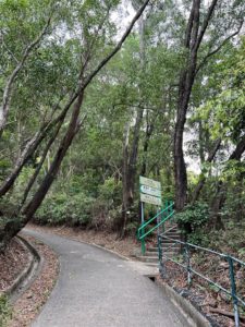
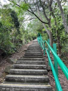
Photos: Left – When you see these signs, head up on the stairs on the right. Right – A seemingly never end flight of stairs up.
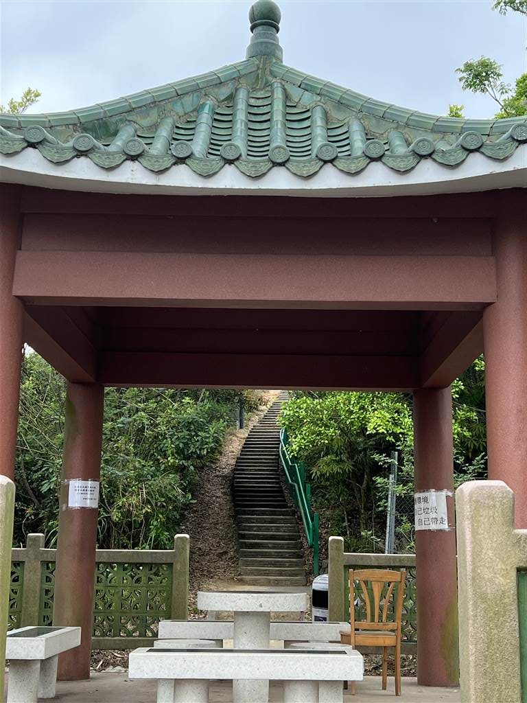
Go through this pavilion and keep on climbing on the stairs.
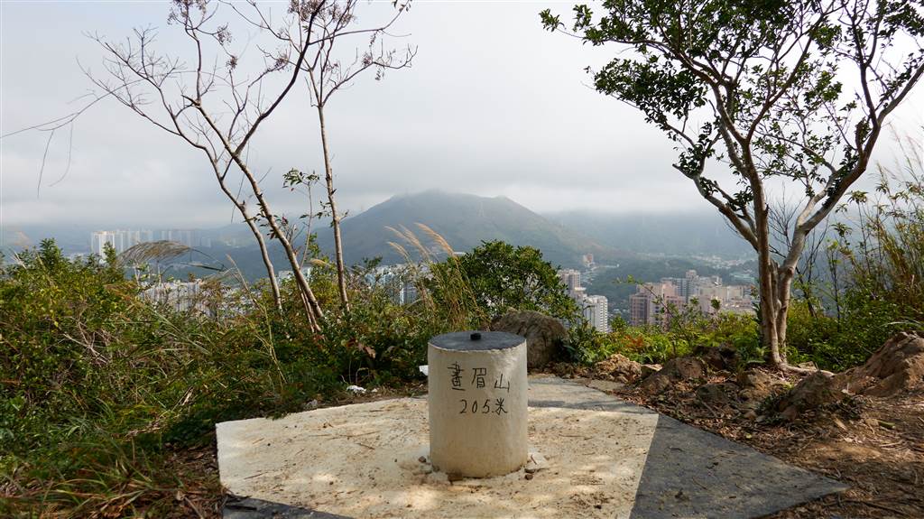
Keep going after you reach the peak of Wa Mei Shan at 205 meters. There really is only one path to walk Tai To Yan.

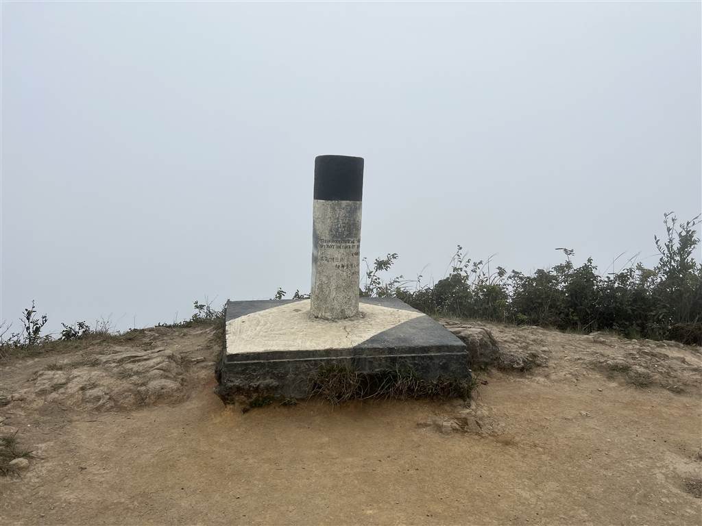
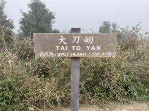
In Chinese, the name of the mountain means “giant razor’s edge ridge.” Tai To Yan is the ninth highest peak in Hong Kong at 566 meters.
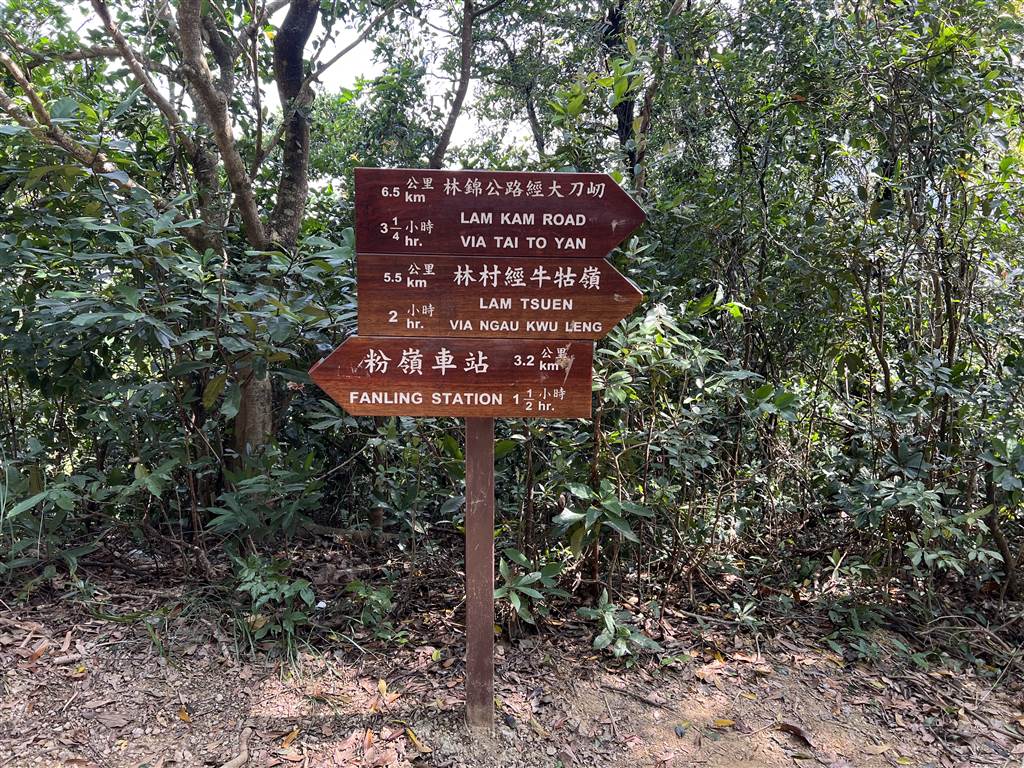
Follow the sign for Lam Kam Road via Tai To Yan.
There are a few points of difficulty in this walk. I found various sections of the walk to be particularly strenuous. The ascend to North Tai To Yan from Wa Mei Shan was quite bad for me. The section between North Tai To Yan and Tai To Yan, to the peak of 566 meters, was not as tough.
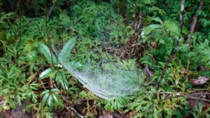
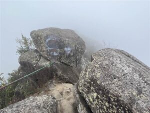
These are some of the things that we saw on the way, despite the lack of views throughout due to the clouds. On good days, you are supposed to see all-around views of Yuen Long plain. But on this day we just saw lots of eeriness amidst the mountains.
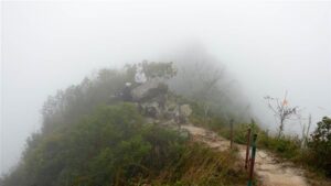
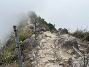
The outcrop of large rocks is quite a nice scenery on the way, as there was almost nothing else that we were able to see. Do be mindful in this section of the hike, however, because the trail is slightly dangerous and some parts did not come with rail.
Finally, the descent was really terrible due to my bad knees. The whole hike took us five and a half hours. And I could not walk for a few days after. So be prepared. If you hike this trail in the summer, do bring a whole lot of water plus replenishments. Finally, it may be a good idea to bring at least a thin windbreaker with you, as the climate somehwhat changes up at the high mountains, unless that is you are going in the middle of the summer.
At the exit, you may take Bus Route 64K back to Tai Po Market.
How to Get There
For how to find the Wu Tip Shan Path, see our previous entry here.
To enter Wu Tip Shan Path via Wa Mei Shan, take green top minibus Route 501A at the Fanling MTR Station Exit B and ask to get off at Cheong Shing Yuen.
Source
Hong Kong Tourism Board, About Tai To Yan.