Shek O’s Tai Tau Chau (Urn Island)
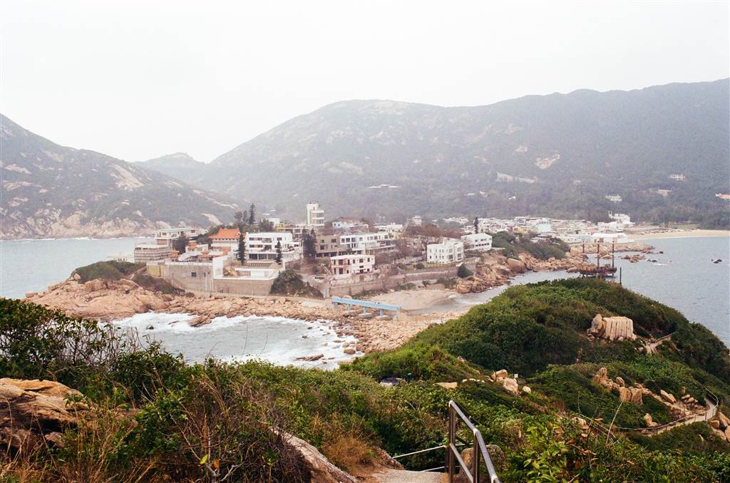
The plan of the day was first a walk in Shek O’s Tai Tau Chau (also known as Urn Island), then head over to Big Wave Bay and ascend the Pottinger Peak via the Pottinger Peak Country Trail. The walk ended in Chai Wan, when I found my way (a long way) to the Chai Wan MTR station to go home. Because there are two distinct parts in this walk, I will discuss the Shek O part and the Big Wave Bay part separately.
The whole journey between Shek O and the northern entrance of Pottinger Peak Country Trail took me four and a half hours, excluding a half hour when I ate a snack at Ho Lok Store in Big Wave Bay.
The Shek O Headland Picnic Area
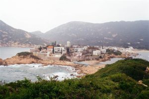
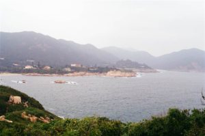
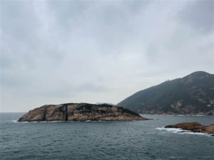
The official name of Tai Tau Chau is the Shek O Headland Picnic Area. It is an islet off of the Shek O Headland, with rocky shores and all-around views of the seas and the hilly terrain in northeast Shek O.
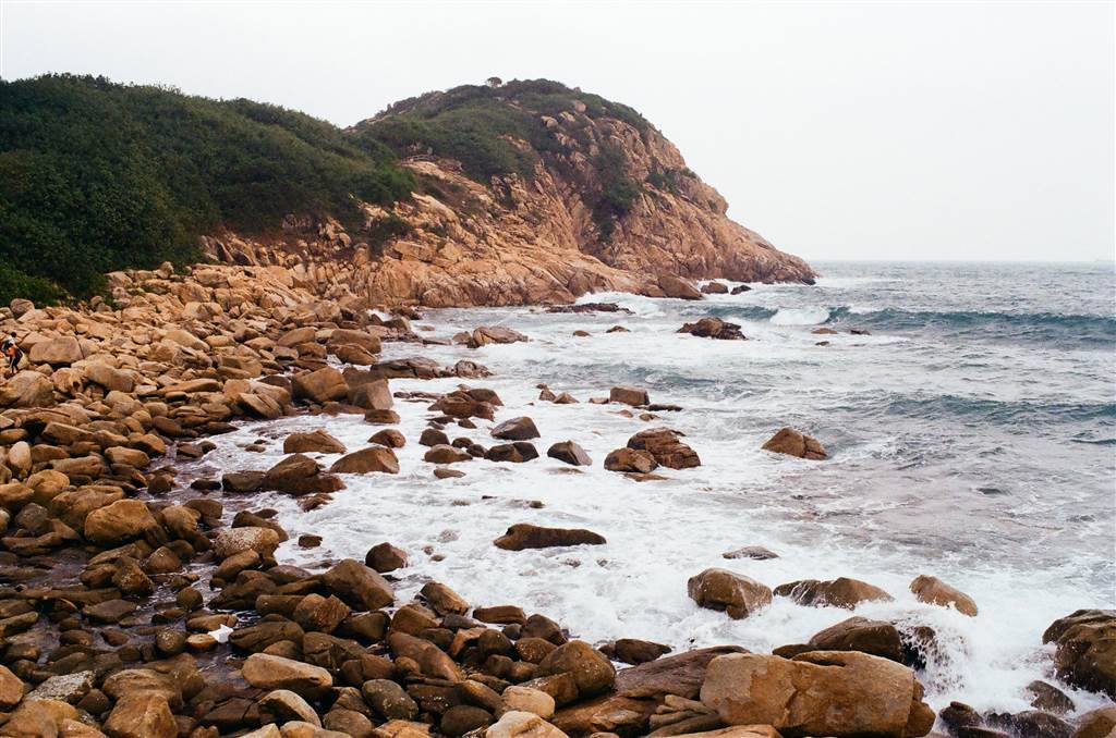
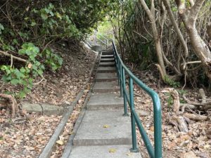
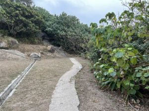
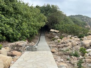
Photos: Very gentle inclines of the paths in Tai Tau Chau (Urn Island)
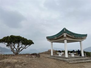
It takes only about 20 minutes to walk from the Shek O bus stop to reach the islet. I spent about an hour walking leisurely on all the paths in the islet. I even sipped takeout coffee on a high point overlooking Ng Fun Chau (see below). The islet is indeed perfect for picnic.
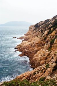
Photos: A panoramic view of Shek O’s northeastern waters
The Blue Bridge
I do not know why the Blue Bridge of Tai Tau Chau is known locally as the Lover’s Bridge. The descriptions on-site suggest that because the blue color (it does seems like baby blue) is romantic, and that the bridge is only wide enough for two people, it came to be known as the Lovers’ Bridge. In any event, the Blue Bridge is very photogenic, as it sets a bright human touch upon the nature-themed colors of Urn Island.
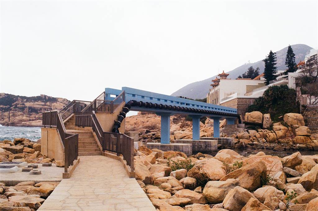
The Blue Bridge connects the Shek O Headland area to Tai Tau Chau. In 2018, super typhoon Mangkut destroyed the bridge. It was only finally and functionally restored in 2021. I am very glad that I get to visit Tai Tau Chau and walk through this bridge on this visit.
The Geology of Tai Tau Chau
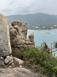
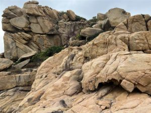
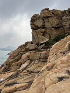
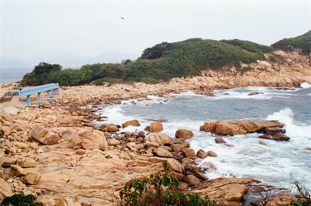
As I walked around the islet, I noticed beautiful rock formations everywhere. The rocks that make up Tai Tau Chau are granites. Granites are a kind of volcanic rock. Their formation begins with volcanic eruptions.
The lava cools slowly within the land, perhaps several kilometers beneath the surface. As such, granites belong to the category of igneous intrusive rocks. This is different from igneous extrusive rocks, which also originate from the cooling of lava. However, they cool on the surface of the land instead. Tuffs are an example of igneous extrusive rocks. The geology of the islands in the northeastern waters of Hong Kong provides the living sample of igneous extrusive rocks. Please see my entry on Chek Chau (Port Island).
Due to millions of years of landform changes and weathering, the granite that formed within the terrain became exposed, and therefore we are able to observe them now. The crevices on these granites are sometimes the result of the contractions in the cooling process. Some of them are the result of weathering after they became exposed on the terrain.
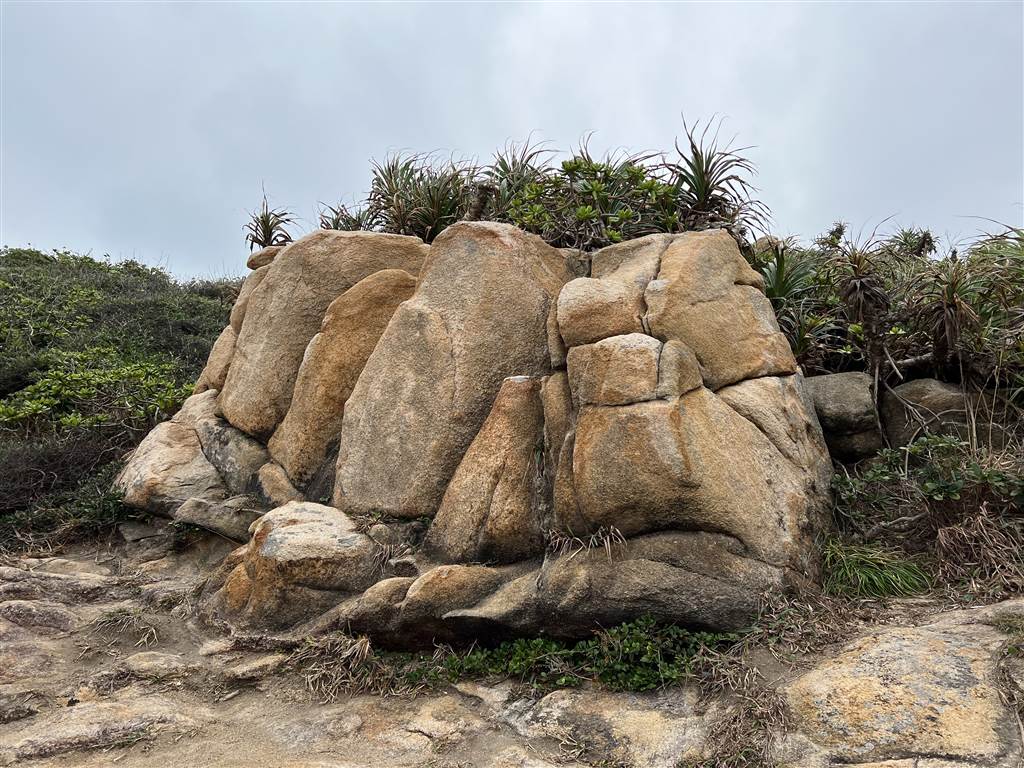
Because I did not observe the granites at Urn Island closely, I did not see a key feature of granite that perhaps only trained eyes can find. Quartz veins in milky white often line at the foundational sections of the granites. The transparent segments are the distinctive feature of quartz veins. When mined, they are what we know commonly as crystals.
According to an online source on Tai Tau Chau, the granites there are actually young even as Hong Kong rocks, with 140 million years behind them.
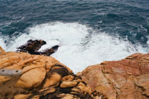
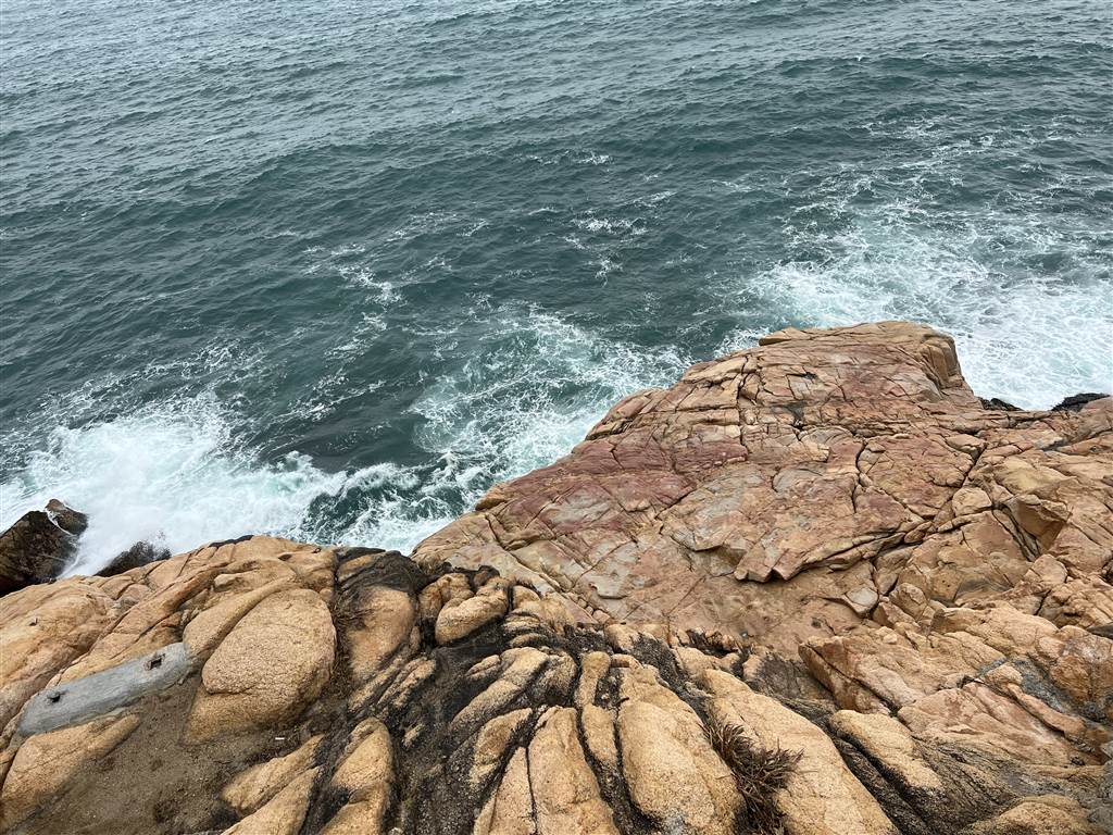
The power of wave erosion is evident throughout the islet. One observable phenomenon of wave erosion is the wave-cut platform. There are sections in Urn Island that show cliffs. They are formed when the sea waves continuously erode the granites on the coast. When the granites are chipped away, they fall and form a platform beneath.
The Ng Fun Chau
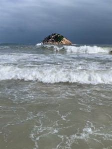
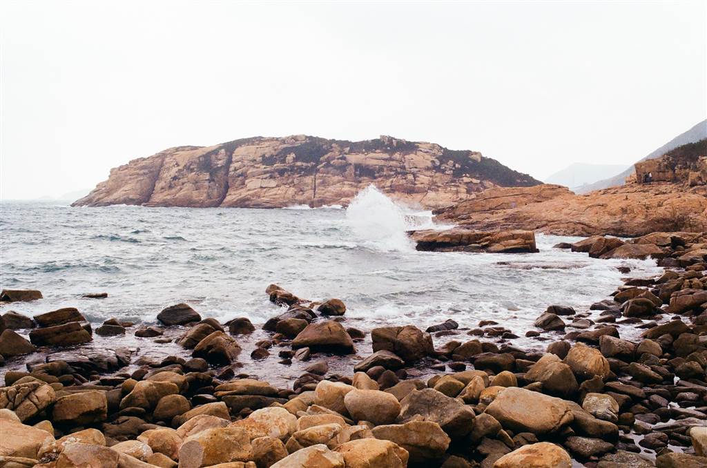
Also of interest is the Ng Fun Chau of Shek O. At Shek O Beach, one can see another aspect of Ng Fun Chau clearly, but the view at Urn Island is more interesting. As you can see in the photograph on the right, the island shows a few sea-eroded fissures. It looks like a cut loaf of bread.
Photos: Ng Fun Chau viewed from Shek O Beach (left) and Tai Tau Chau (right).
The source I found online explains that the Ng Fun Chau used to be connected to the inland of Shek O. Years and years of sea erosion ended up splitting the landform from the inland.
Worthy Restaurants in Shek O
It being a touristy spot, Shek O is no lacking in food choices. I have dined in three restaurants in Shek O and they are worthy of mention here. The first is the Happy Garden right by the beach. It serves wonderful Thai food in big portions.
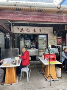
A more humble noodle place is the Hung Kei Store, inside the Shek O Village. It serves wonderful soup noodles and we liked our roast duck noodles very much.
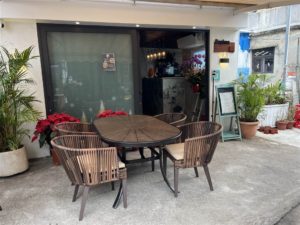
Across from Hung Kei is the Daphne, a higher-end establishment serving western style cuisine. We had coffee and tiramisu there after our sit-out at the beach.
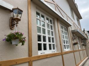
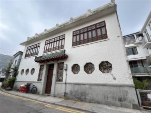
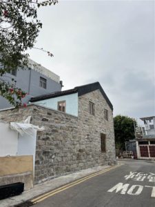
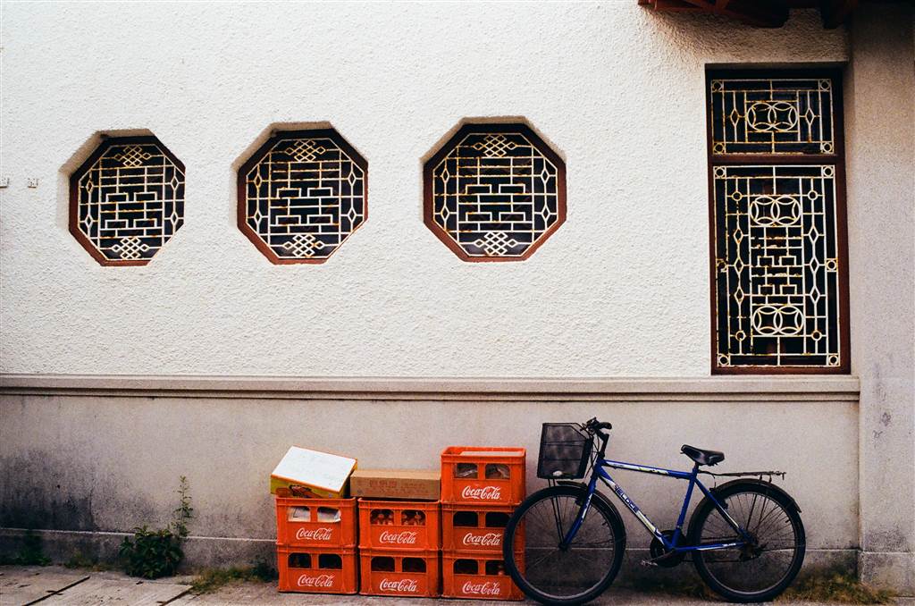
Finally, on my way out via the Shek O Village, I noticed many pleasing views of the houses there. Shek O is just overall a very pleasant place to be.
How to Get There
Bus Route 9 goes from Shau Kei Wan to Shek O. You may also consider taking the red top minibus Shau Shek Line for the same. The minibus stop is across from the Shau Kei Wan Bus Terminus.
On Saturdays, Sundays and public holidays, Bus Route X9 runs between Central (Ferry Pier) and Shek O on a rather limited schedule. Please look up the schedule before you decide to take this route.
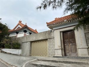
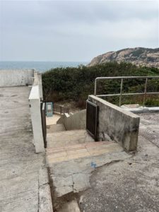
Once getting off at the bus stop, walk toward the roundabout and the Shek O Village is on your left. Make your way through in Shek O Village, and keep going to the very end of Shek O Headland Road. You will see a beautiful structure on your left. The stairs down will lead you to Tai Tau Chau.
Photos: Views at the end of Shek O Headland Road with stairs leading down to Tai Tau Chau
Sources
Historic descriptions on-site.
Shek O Tai Tau Chau (Chin), mediachinese.com, February 27, 2010.
Igenous Rocks, Geology.com.
What is Granite and How Is It Formed? Geologyin.com.
