Geopark Island Hopping – Kat O (Crooked Island)
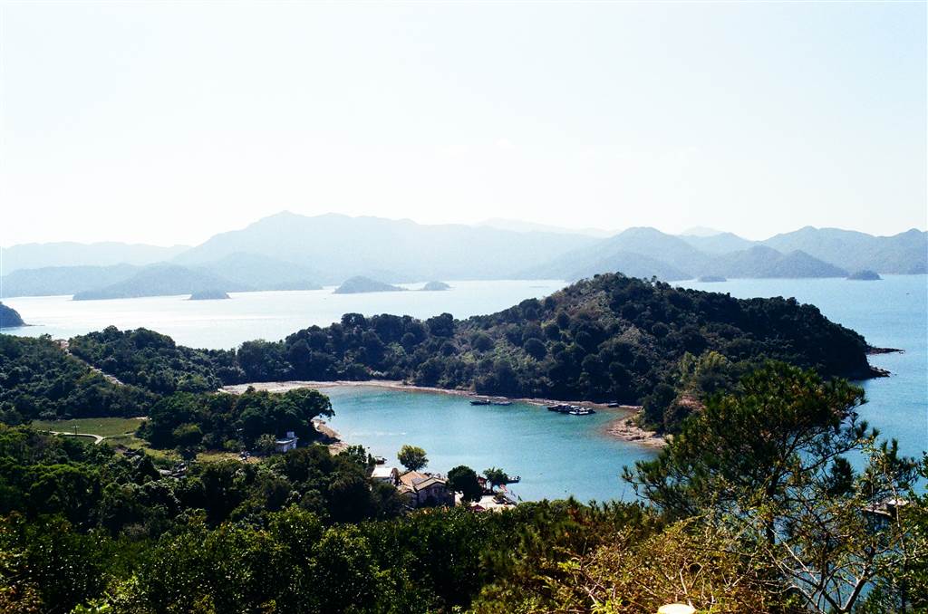
Kat O was part of the Hong Kong Government’s celebration of the 10th Anniversary of the Hong Kong UNESCO Global Geopark’s inclusion into the Global Geopark Network. The celebration comes with special arrangements for ferry transport, storytelling by the natives of the islands, interesting workshops, lion dances and other celebratory initiatives.
The activities for Kat O (Crooked Island) and Ap Chau (Duck Island) have already concluded in November. My father and I went island-hopping with a group of his friends. We visited both Kat O and Ap Chau on this day.
The itinerary was to first meet at the Ma Liu Shui Pier (note that the boarding point for the Kat O ferry is about a hundred meters toward the Shatin direction). We first spent an hour and a half at Ap Chau, then took the ferry to Kat O at 12:30. For the rest of the afternoon we stayed in Kat O, which is a significantly larger island, until the ferry would leave for Ma Liu Shui at 4:30pm. The journey between Kat O and Ma Liu Shui takes 1.5 hours.
Kat O – The Pearl of the Mirs Bay
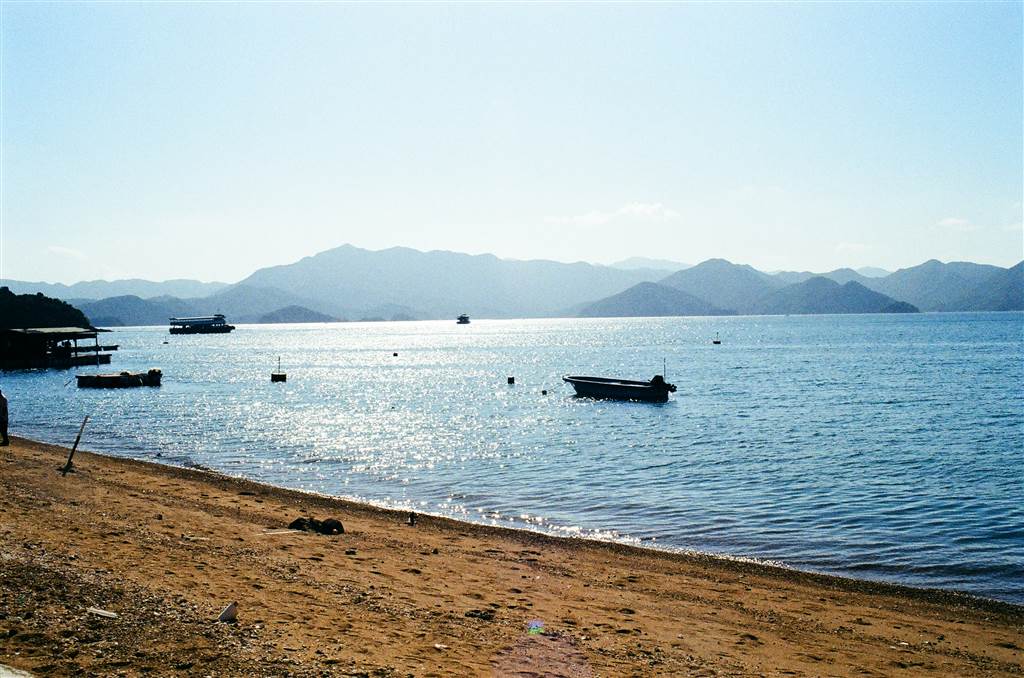
Kat O, also known as Crooked Island, acquired its name by its shape and its purpose. Located west of Mirs Bay and east of Sha Tau Kok, the island spans an area of 2.36 square kilometers. It is the largest island in northeast New Territories.
In English, the name Crooked Island refers to the shape of the island being like a “Z.” It is also due to this shape that the bay of Kat O used to provide shelter to the fishing boats during stormy weathers. As such, the fishermen named it Kat O, meaning “Lucky Harbour.”
Kat O has every reason to take pride in its three-hundred-year history. According to the Pamphlets on Kat O, even during the New Stone Age, there were human activities in fishing and hunting on the island. Onto 1000-1700 AD, there were human settlements on the island. During the Qing Dynasty, after the Qing Government lifted the imperial decree on coastal evacuation, Hakka villagers moved to Kat O, and lived there along with the boat-dwelling fishermen.
During the late 19th century, the island became the economic hub for all kinds of trades. Kat O served as a major supply stop for the vessels sailing in this area between China and Hong Kong. It was denoted a proper marketplace on a San On County District Map in 1866. People then celebrated the island as The Pearl of the Mirs Bay.
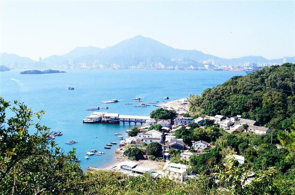
The Story of Kat O
At the Kat O Pier, turn right and you will be walking on the southern section of the Kat O Nature Trail. There are interpretation signs along this path to show you some salient features on the way.
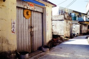
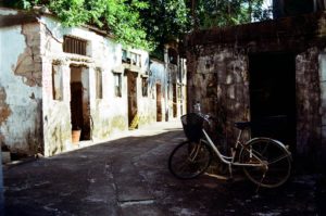
Like the story of many rural areas in Hong Kong, the population of Kat O dropped significantly over the last few decades because many villagers have moved away for better opportunities. And this fact certainly shows through. The interpretation signs would point to a shop that once stood at that location, but when I raised my head I only see piles of rubbles at the original sites. Although it is a little sad, it is not difficult to imagine what glorious days this island once had.
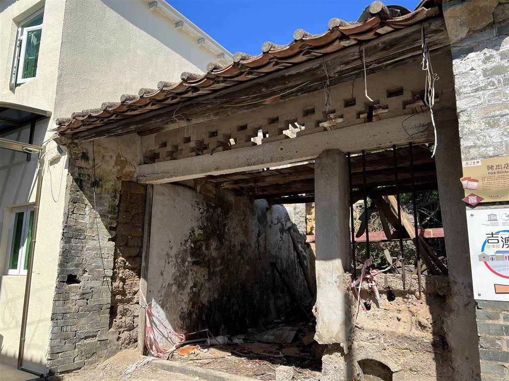
Photo: This was once a pork table.
During the 20th century, the island experienced its prime during the 1950s and 1960s, when population reached as many as 6,000 with a booming fishing industry. On the Kat O Main Street, there used to be 60 shops at this time. The community was bustling with life.
The island had once given home to ten villages, with 43 clans and 37 surnames. During the low season for fishing, the residents of Kat O engaged in conch breeding. The conches of Kat O could grow as big as 40cm long and weighing several kilograms. They were the cash crop of the sea.
During the mid to late 20th century, the residents of Kat O began leaving the island for opportunities elsewhere. This mass exodus may have resulted in an 80% decrease in the island’s population. While certainly some residents left for the urban areas of Hong Kong, quite a large number also headed overseas. Even as early as after WWI, foreign companies have eyed the exceptional diving skills of the Kat O residents and hired them to be professional divers. In the 1950s, about 100 islanders left to become professional harvesters of pearl-producing oysters in Australia.
Continue walking and you will arrive at the Tin Hau Temple. The Kat O Story Room is right next to it. Do take some time to read the stories of Kat O in the Story Room. It is thorough, yet concise and engaging. I do hope that the story of Kat O will go on, perhaps in the sense that the residents will stay, or the old residents will come back to take it as a vacation home. May the community remain strong here.
The Tin Hau Temple of Kat O
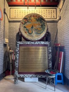
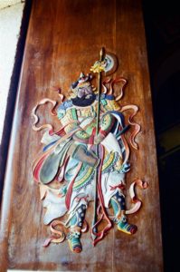
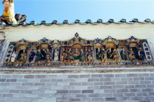
I marveled at the beauty of the Tin Hau Temple when I arrived. It was well-restored. Its name in golden paint glistened under the sun. I could not help but to notice the beautiful ceramic figurines on the structure. There are also beautiful wood carvings inside.

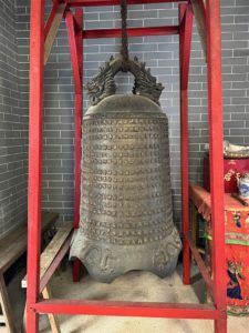
In learning about the history of temples, usually the bronze bell is the most definitive guide. This is because most of these bronze bells bear dates. The bronze bell of this Tin Hau Temple is dated the 28th year of the Qianlong Reign (1763). As such, the temple is at least 250 years old.
The celebration of Tin Hau’s birthday on the 23rd day of the 3rd lunar month of the year involve both the Hakka (land-tied population) and the fishermen populations.
In terms of religious activities, the people of Kat O also holds the On Lung Tai Ping Ching Chiu Festival once every ten years. The people of Kat O believe that there is a dragon vein on the island that channels good fortune to its people. A smaller celebration is held once every five years. In the big celebration, the people of Tap Mun will sail to Kat O to invite the Tin Hau Goddess of Kat O to a joint celebration for the rural alliance in the area. That includes a number of inhabited islands, the believers in Sai Kung and Sam Mun Tsai, etc.
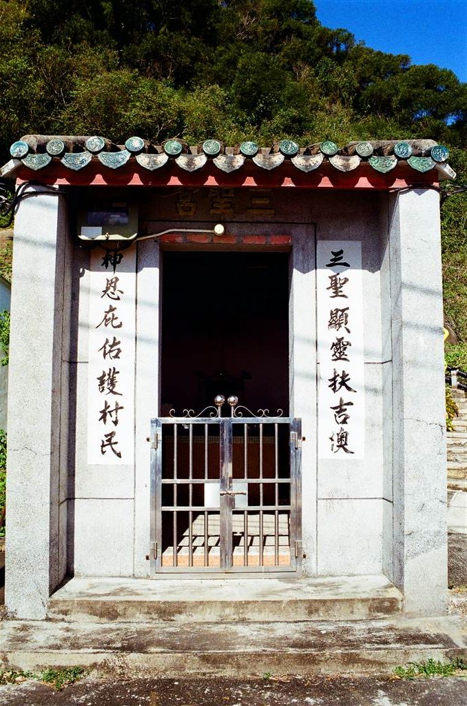
Finally, there are other smaller religious sites on the island, including a Kwun Yam Temple and a Sam Shing Temple.
Food in Kat O
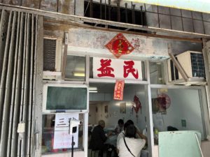
Visitors to Kat O have two good options in terms of food, and many do look forward to having a Hakka meal at either Yick Man Restaurant or Wing Kee Seafood. They serve Hakka cuisine with a seafood emphasis. However, on this day I was simply too keen on seeing the island. I therefore did not join my father’s friends in having a meal there. Instead, I headed right onto the Kat O Story Room to see the exhibition. The restaurants are close to the Kat O Pier.
Trails in Kat O
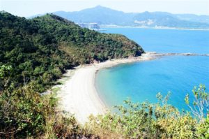
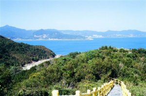
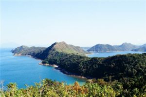
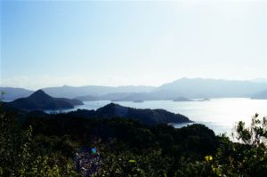
There are two peaks in Kat O of similar altitude. Lying in the southern side of the island is Ko Pang Teng, overlooking Kai Kung Leng and the beach of O Pui Tong. At an easy height of 70 meters, the walk took less than 20 minutes and you will see exceptional scenery there. I entered the trail near the Tin Hau Temple.
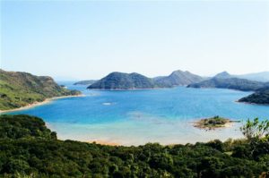
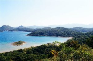
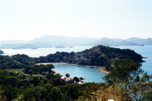
Photos: Panoramic views at Ko Pang Teng, Kat O
Lying on the north is Ko Tei Teng. Similarly, it has an easy height of 80 meters, and again the walk up was about 20 minutes only. I found the entrance to the trail within the fishermen’s village. Despite my best effort, however, I did not manage to spot the “Six Treasures of Double Haven” as introduced on-site at Ko Tei Teng.
The walks were very pleasant on both trails. Both came with well-paved stairs. I enjoyed the views at Ko Pang Teng slightly more, if you were to only do one trail in Kat O.
The Kat O Fishing Village
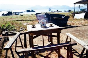
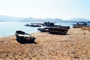
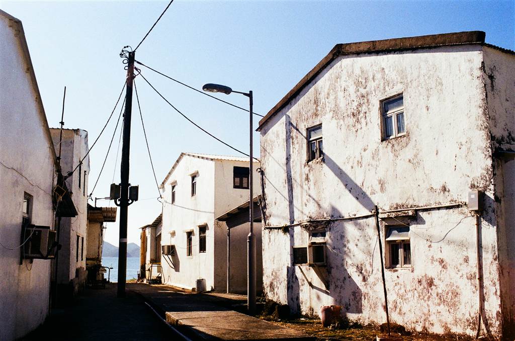
I am always very drawn to sceneries at fishing villages. A walk around the fishing village of Kat O takes about a half-hour. Small streets led me to the seaside, to the inland and back. Originally, the Hong Kong Government built nine houses and developed the fishermen’s village.
In 1962, Typhoon Wanda destroyed many fishing boats. As a result, quite a number of fishermen moved inland and resettled in the huts on the island. As sea catch in the area continued to decline, so did the fishing industry of Kat O. In the 1980s, many fishermen turned to fish farming. They raised expensive sea fish. There were still some signs of the fish farming industry in the island, but even much of that are gone by now.
This is a very long entry indeed, but I have not ruined it for you, because there is so much more about this island that I did not discuss here. I would say one can take easily a whole day here. We only spent a few hours here and I saw some key features, but it is certainly worth exploring. I am sure next time I will have my Hakka meal as well.
Finally, the celebration of the Hong Kong UNESCO Global Geopark will include a guided tour of Sam Mun Tsai and Ma Shi Chau on the weekend of December 18. I highly recommend doing this guided tour. Without proper training it is very difficult for anyone to find, recognize and appreciate the special geological features in Ma Shi Chau.
How to Get there
Ferries depart at the Ma Liu Shui Pier Landing No. 3 for Kat O and Ap Chau. The easiest way to get there is by walking about 15-20 minutes from the University Station on the East Rail Line. Again, this landing point is about a hundred meters toward the Shatin direction from the Ma Liu Shui Pier.
The tickets to Kat O and Ap Chau cost $90 return, and $45 one way. The staff will check your tickets when you leave Ma Liu Shui and when you do your return trip back to Ma Liu Shui. There is no ticket checking between Kat O and Ap Chau. People usually do visit both islands in one go. Please visit (and study carefully) the ferry schedule for Kat O and Ap Chau.
See also the same website for an alternative of boarding at the Sha Tau Kok Pier.
Sources
Pamphlets on Kat O, Agriculture Fisheries and Conservation Department.
Historic Descriptions on-site at the Kat O Story Room.


