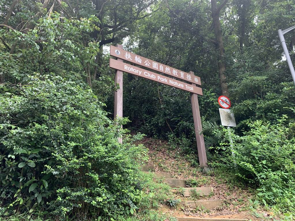
The Rotary Club Park Nature Trail
Tai Mo Shan (Tai Mo Mountain) is the highest mountain in Hong Kong at an altitude of 957 meters. The Rotary Club Park Nature Trail cuts through the Tai Mo Shan Country Park. It is a short walk up on an intermediate incline. Yes, there are lots of steps up throughout the trail but a walk back and forth takes only one hour. A rapid ascend on this trail is a very good exercise.
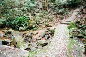
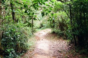
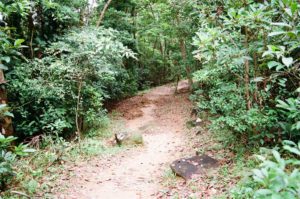
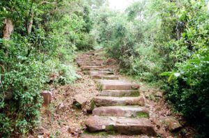
I picked this trail on a very hot day because fellow hikers described the trail as shaded throughout. As it turned out, the shades on this trail were as much a blessing as they were a curse. The area was of high humidity. It felt as if vapor was trapped by the lush foliage all along the trail. When I grabbed onto the trees for support, I got a mushy sensation. It felt like overgrown moss on every tree that I touched. Even beneath a scorching sun, this area was a climate of its own. Surely it was cool throughout, but it felt like mold at the same time.
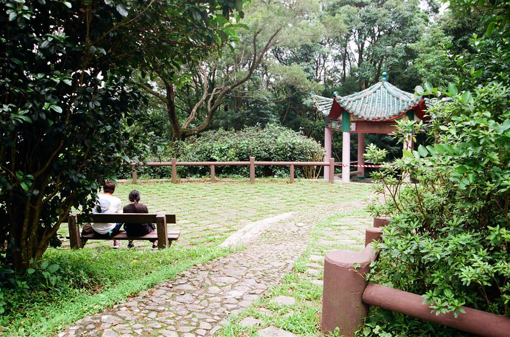
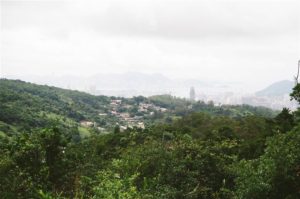
We parked on Route Twisk, by the side of the Chuen Lung BBQ Site 2. The Rotary Club Park Nature Trail is on the right. The trail leads one to the Rotary Club Campsite on Tai Mo Shan Road, where there is a viewing point with views of western Hong Kong. The Tai Mo Shan Country Park Visitor Center is also in that area on Tai Mo Shan Road.
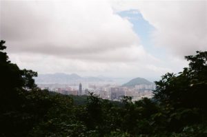
Perhaps the highlight of this hiking session was the wide open, sunny space up at the viewing point at the Rotary Club Park. We enjoyed sunshine there, and shook off that slightly eerie, moldy feeling we got on the shaded trail.
I do recommend this trail for those who want to do a quick outdoor walk on an extremely hot day. And the Chuen Lung Village down the hill offers good dim sum to satisfy your palate after a good exercise.
By public transport, take Bus 51 and get off at the Chuen Lung stop.