The Rocky Terrain of Ling Kok Shan in Lamma Island
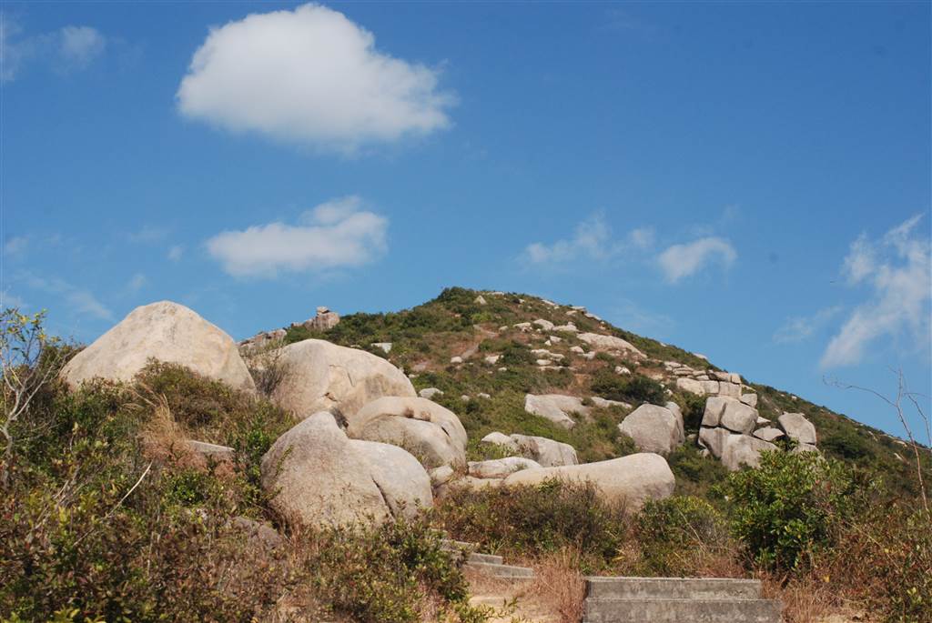
I took a nice walk in Lamma Island on a sunny winter day. The walk took about three hours and it offered wonderful ocean and island views on a high point in Sok Kwu Wan, the southern section of Lamma Island. I have previously done the standard walk from Sok Kwu Wan to Yung Shue Wan, and you can find that entry here.
The Trail
I began the trail at the Tin Hau Temple in Sok Kwu Wan and looped back to the pier area via a rather wild and unkempt path.
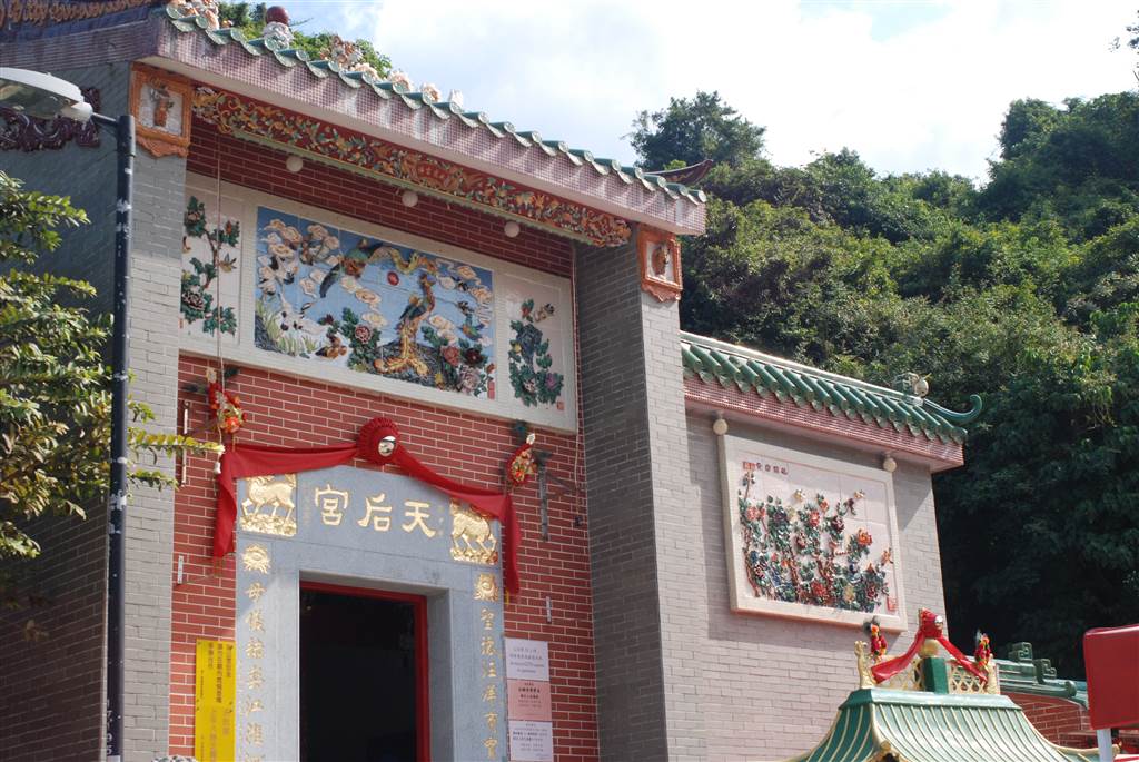
I took this loop because the standard paved trail will route via the Mo Tat Wan before arriving at the Sok Kwu Wan Pier. That will result in a significantly longer duration, and I was pushed for time that day.
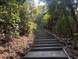
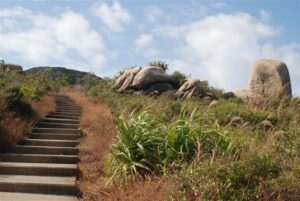
The hike up the mountains was done on a nice-paved trail throughout. At the Tin Hau Temple, there is a large open space. One shows a set of stairs up, and the other goes toward the Kamikaze grottos. While the level road will lead you to Yung Shue Wan, I wanted to see the mountains in Sok Kwu Wan so you would be taking the stairs on the left.
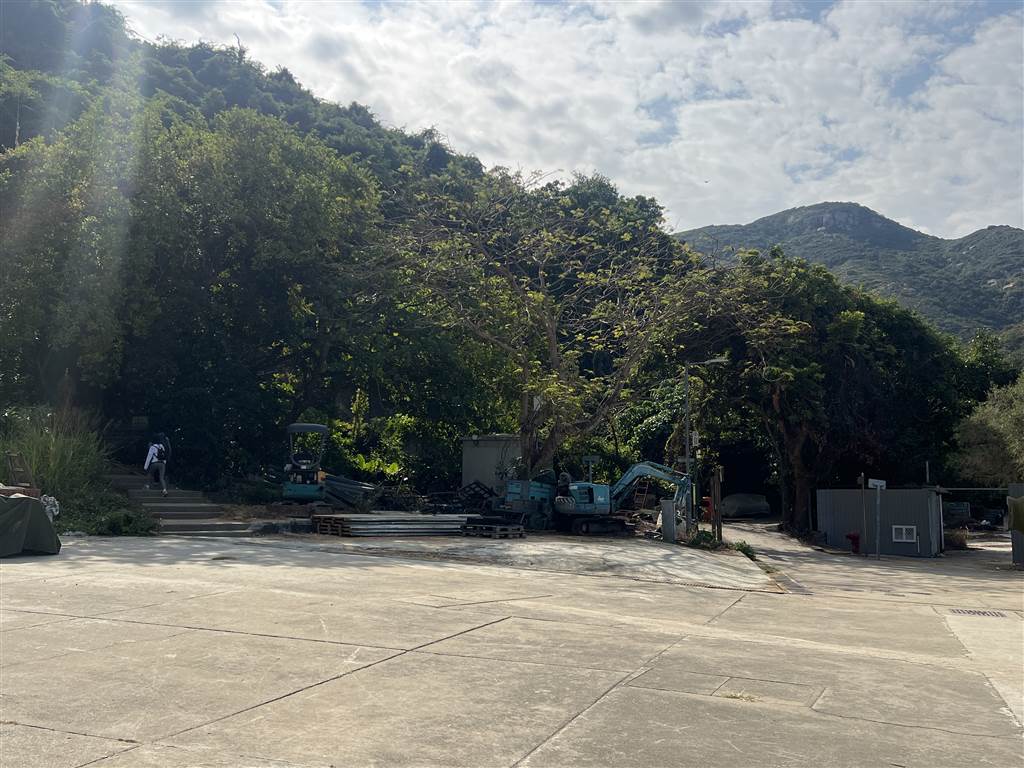
Photo: The staircase on the left at the open square outside of the Tin Hau Temple is the entrance to the hiking trail. In this photo, follow the way of the one hiker shown on the left.
The ascent is gentle and soon I made it to the first rest stop.
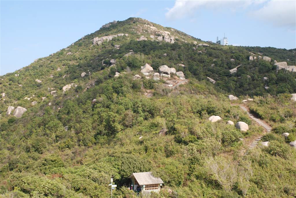
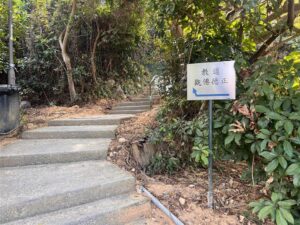
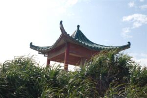
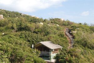
Photo: The first rest stop is the little structure on the bottom of this photograph, you can see also the sign post next to the pavilion. The way up to Ling Kok Shan is on the right side of the pavilion, as you can see the stairs up. This photo shows Ling Kok Shan itself.
There is a signpost there pointing to the different directions.
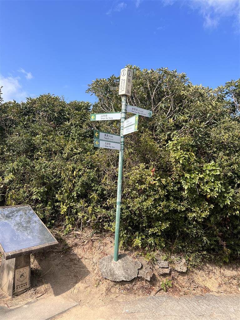
Keep in mind that the way to Ling Kok Shan is behind the rest pavilion, which means on your right when you are facing the pavilion.
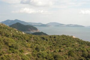
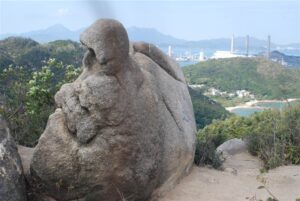
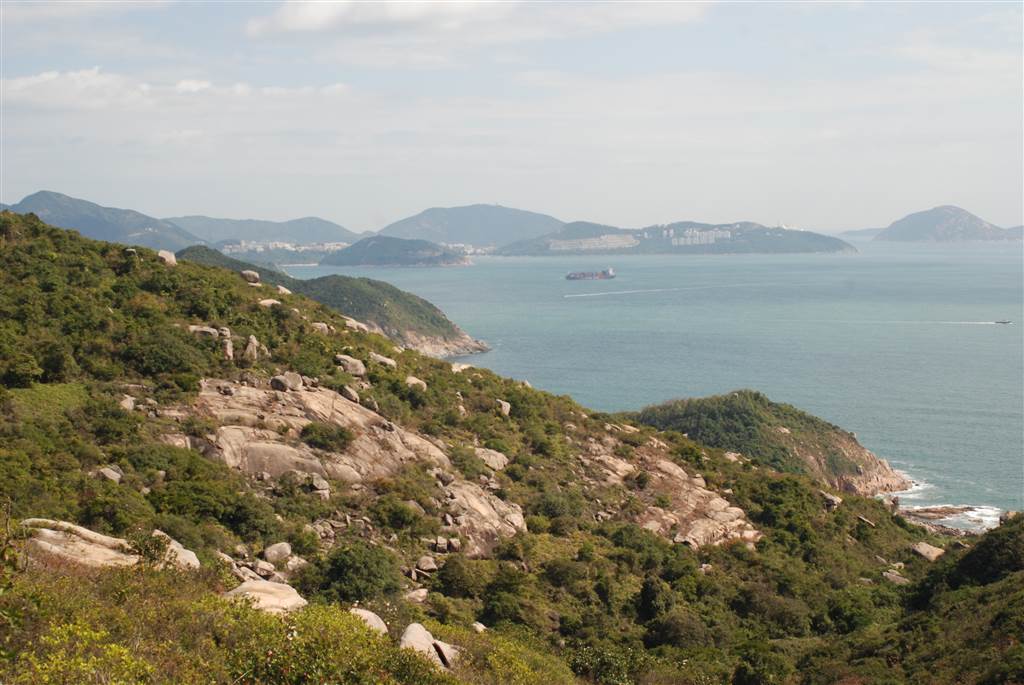
I went up a little toward the Shan Tei Tong direction to enjoy the aerial views before heading over to the path toward Ling Kok Shan. It offers wonderful views of the island and the coastline.
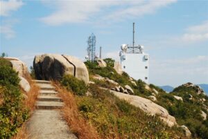
After reaching the peak of Ling Kok Shan, you will arrive at the transmitting station, where there is also a helicopter pad.
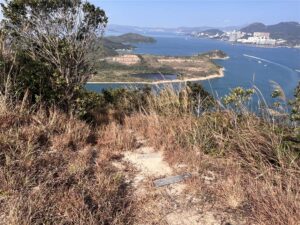
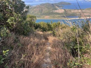
The way back to the Sok Kwu Wan Pier is somewhat obscure on the northern end of the open area, where you will be seeing views of Lamma Island’s Yung Shue Wan.
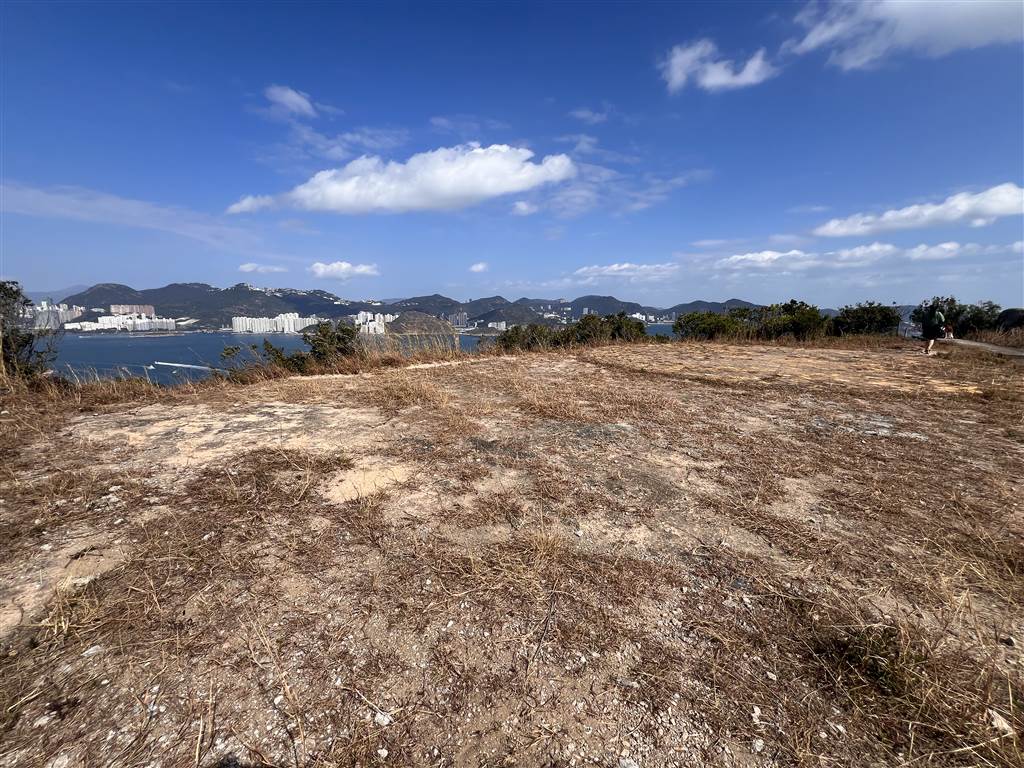
Photo: At the helicopter pad after you have passed the Ling Kok Shan Transmission Station. The shortcut trail back to the pier is on the left side of this photo. See below photographs.
The View
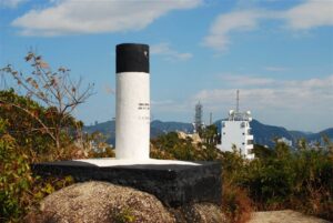
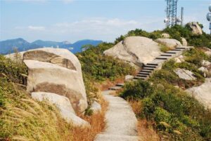
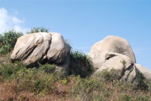
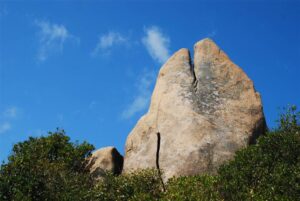
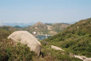
At a 250 meter altitude, Ling Kok Shan is known for its many oddly-shaped, large boulders. About half hour or 45 minutes into the ascent, you will start seeing these boulders all over the Ling Kok Shan Area.
The rocky terrain is quite interesting. My hiking app says that there are Japanese tunnels as well, but I did not manage to find any opening of those tunnels there.
Finally, the hiking app says that this route would take about a little over an hour, but I spent three hours walking this trail. The main reason is that the descent was rigorous on a pretty unkempt pathway. I had to take my time carefully navigating the unpaved road when I descended the mountain.
A Nice Lunch with Sea View
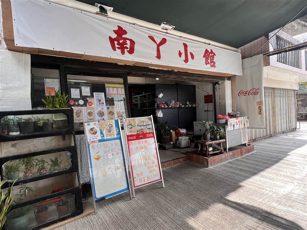
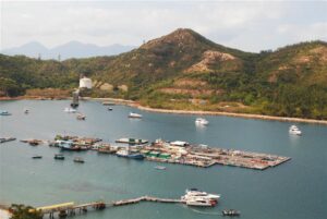
After a pretty rigorous hike down to the pier area, I sat down at the small restaurant closest to the Tin Hau Temple. I enjoyed the sea views as I ate a simple lunch.
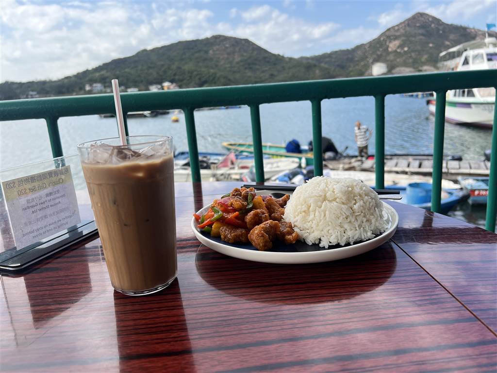
That was not a standard seafood restaurant. I was going solo on the day, therefore I could not have ordered a seafood lunch anyway.
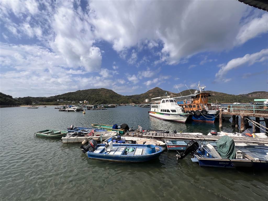
A final reminder that at Pier 4 , there are two sections for the ferries that take you to Lamma Island. The section on the left (when you are facing the entrance) will take you to Sok Kwu Wan. Ferries to Sok Kwu Wan are more expensive and less frequent. The right section takes you to Yung Shue Wan. Do bear in mind of that.

