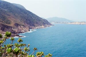
A Walk in Cape D’Aguilar
Cape D’Aguilar is a very popular hiking spot for its picturesque landscape along the coast and a few exceptional natural phenomenon. Lying north of Shek O in Hong Kong’s southeastern coast, it offers a good view of the coastline as hikers descend from the motor way to the sites along the coastline. It is also where Hong Kong’s oldest lighthouse is. The day’s itinerary was first a walk in the Cape D’Aguilar area and then take a bus to Shek O for dinner.
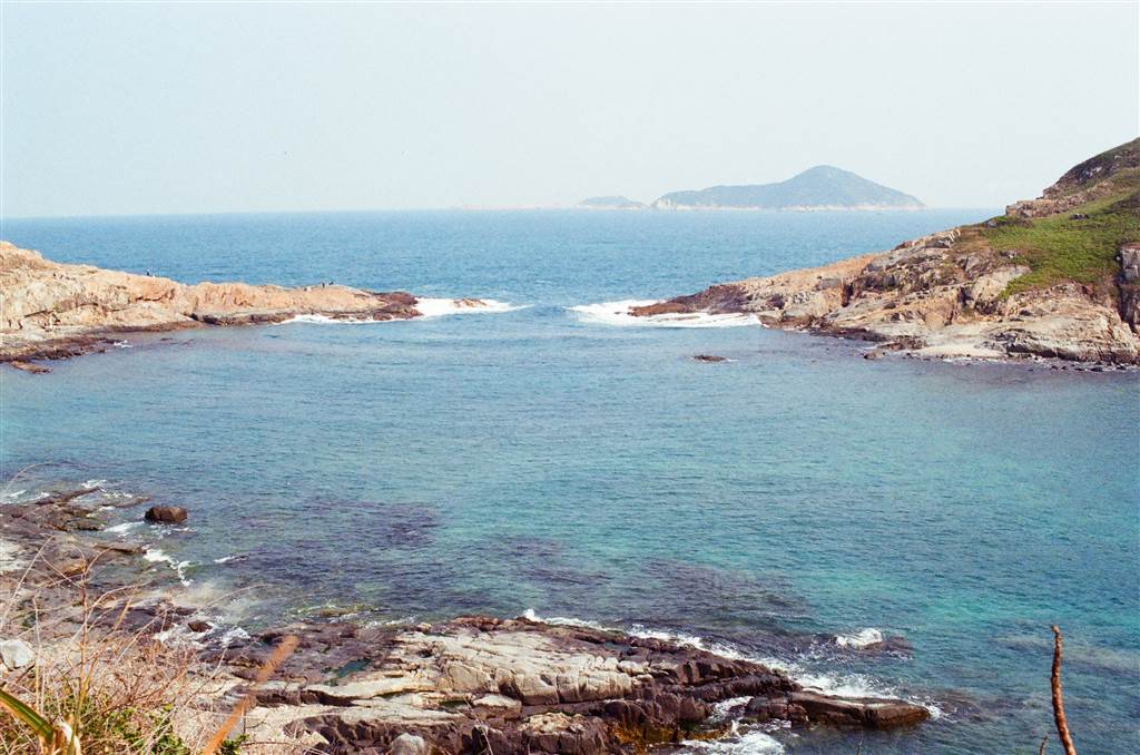
About Cape D’Aguilar
Cape D’Aguilar was named after the Major-General George Charles D’Aguilar. During WWII, Cape D’Aguilar served a defensive function as part of the Eastern Fire Command.
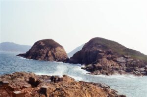
The Bokhara Battery is located in the Cape D’Aguilar area. During the 1930s, there were proposals to build gun platforms in Cape D’Aguilar. The two gun platforms were just ready for service when Japan invaded Hong Kong. The Bokhara Battery acquired its name from the rock cropping that lied at the ends of the Cape D’Aguilar Peninsula. Its firepower was higher than the Cape D’Aguilar Battery. It is believed that the two cannons that were stationed at the Bokhara Battery came from the Pottinger Battery in Devil’s Peak.
On this day, however, I did not manage to find the way to either the Cape D’Aguilar Battery or the Bokhara Battery.
Today, Cape D’Aguilar is an environmentally protected area as the Cape D’Aguilar Marine Reserve. This status results in the area being free of any type of water sport or other related activities. Please observe this prohibition to preserve the marine environment.
The Walk in Cape D’Aguilar
The area is well-defined and very friendly to walking. There was not so much climbing and the sightseeing spots are quite close to each other. Given that the area is always full of tourists, allow for some two hours to see the sights.
The Thunder Cave
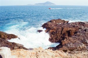
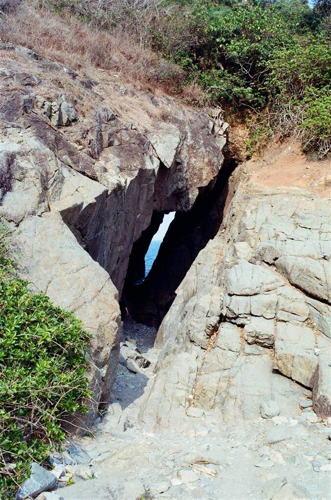
The first natural phenomenon that we came across is the Thunder cave. Take a peek into the cave and maybe walk further through the wave-eroded arch to feel the sea waves and hear its delightful sound. There is usually quite a large number of tourists here, well, as with all other locations in the cape, but it surely is a must-see sight in the area.
 The Cape D’Aguilar Lighthouse
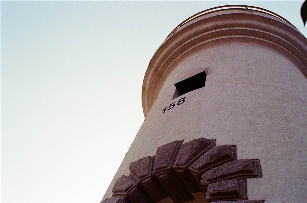
The Cape D’Aguilar Lighthouse began its service in 1875, in memory of Major-General George Charles D’Aguilar, who was the Commander of the British Forces in Hong Kong between 1843 and 1848, and also the first Lieutenant Governor of Hong Kong.
Standing at a high point on the cape, at a height of 9.7 meters the Lighthouse illuminated the southeastern coast of Hong Kong. According to government description, “the focal plane of the light stood 200 feet above mean sea level, and in clear weather could be seen at a distance of 23 nautical miles.”

The Cape D’Aguilar lighthouse became superfluous when the Waglan Island Lighthouse in 1893, and in 1896 its service was discontinued. In 1975, the interior of the Lighthouse was re-lit and it is now automated.
As the oldest surviving lighthouse in Hong Kong, the Cape D’Aguilar Lighthouse is a declared monument since 2006.
The Coast
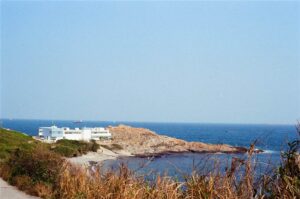
On the coast lies The University of Hong Kong Swire Institute of Marine Science, and there is a white skeleton on display. The bone belongs to Miss Willy, but there are different stories as to who Miss Willy really was. The favorite story is that the bones belonged to the female orca that performed in the Ocean Park.
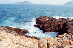
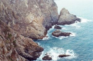
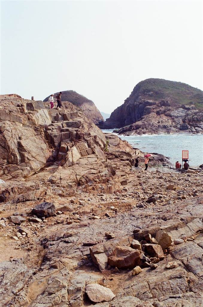
The coast line shows some significant rock formations. I was not able to find any easy-to-understand introduction on the Cape D’Aguilar rhyolite. The CEDD has the following very technical introduction,
The Hok Tsui Rhyolite is the name given to a swarm of quartzphyric rhyolite dykes that intrudes the Tai Po Granodiorite and the Yim Tin Tsai Formation at Cape D’Aguilar (Hok Tsui) in the extreme southeastern corner of Hong Kong Island. The dykes are up to 10 m wide, strongly flow banded, and strike in a northeasterly direction.
The Hok Tsui Rhyolite is the only known representative of a magmatic event that occurred around 152 million years ago.
The Crab Cave
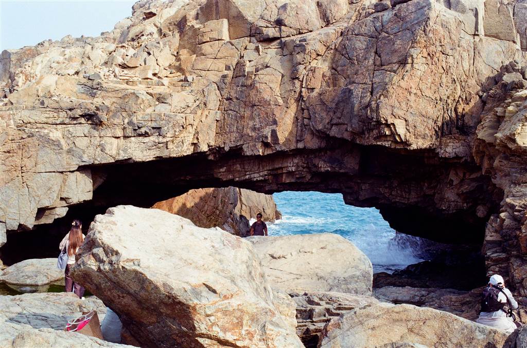
Again, the arch, that lies right by the shore, the Crab Cave, attracted a throng of tourists. The locals call the cave “eye of the crab.” Due to the tourists there, we didn’t spend very much time there as a result. Suffice to say, that we made through the coastline in about 45 minutes to an hour.
How to Get There
From the Sha Kei Wan MTR Station, head up to the minibus terminal on the ground level and take the red top minibus to Shek O. Ask the driver to drop you off at Hok Tsui (the Chinese name for Cape D’Aguilar). Alternatively, Bus Line 9 also runs between Shau Kei Wan and Shek O. Again, get off at Cape D’Aguilar.
Sources
The Civil Engineering and Development Department, The Hok Tsui Rhyolite – Jkh, Hok Tsui Rhyolite – Jkh (cedd.gov.hk).
The Wikipedia on George Charles D’Aguilar at George Charles d’Aguilar – Wikipedia.
Teele Rebane, HKFP Guide: Hong Kong’s Cape d’Aguilar – easy hiking with historical curios and sweeping sea views, at HKFP Guide: Hong Kong’s Cape d’Aguilar – easy hiking with historical curios and sweeping sea views – Hong Kong Free Press HKFP (hongkongfp.com).
Tim Keung Ko, A Guide to Hong Kong’s War Sites (1941) (1995).

