The Trails of Tsing Yi
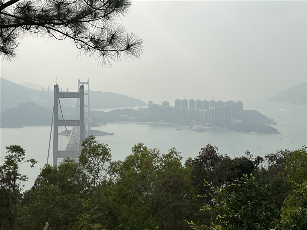
Tsing Yi lies on northwestern side of Hong Kong Island. It is an island just west of Kwai Tsing. I learned from a few sources on the internet that there are exceptional views of the Tsing Ma Bridge along a system of hiking trails in Tsing Yi. I decided to have a walk there.
However, the views turned out to be disappointing, though the hike itself was quite good.
The Trails
There is a large system of hiking paths in the northwestern quarter of Tsing Yi. I think it will take all afternoon to walk them all. This day I spent two hours and forty-five minutes on this hike.
My walk proceeded as follows: Tsing Yi Nature Trail → Kwai Tsing Celebration of Reunification Education Trail → Pavilion 4 → Ching Hom Path → Pavilion 5 → Ching Hom Path → Pavilion 3 → Ching Hom Path → Ching Wan Path → Pavilion 2 → Pavilion 1 → Kwai Tsing Celebration of Reunification Health Trail → Tsing Shan Road West (the southern entrance of the Tsing Yi Nature Trail).
I entered the Tsing Yi Nature Trail on Liu To Road, right next to the Mount Haven bus stop. The very first bit of this trail was actually going down. Then on gentle incline I made my way to Pavilion 4. Afterwards I explored this system of trails. Having visited all five pavilions hoping for views, I walked to the end at Tsing Yi Road West.
The Views
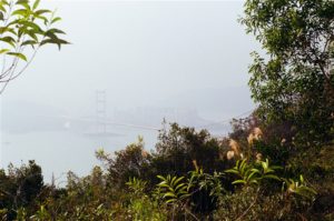
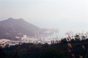
I am very disappointed in reporting that of all the five pavilions that I took pains to visit and explore, only at Pavilions 5 and 1 were there the views of the Tsing Ma Bridge.
Photo: View of the Tsing Ma Bridge at Pavilion 5
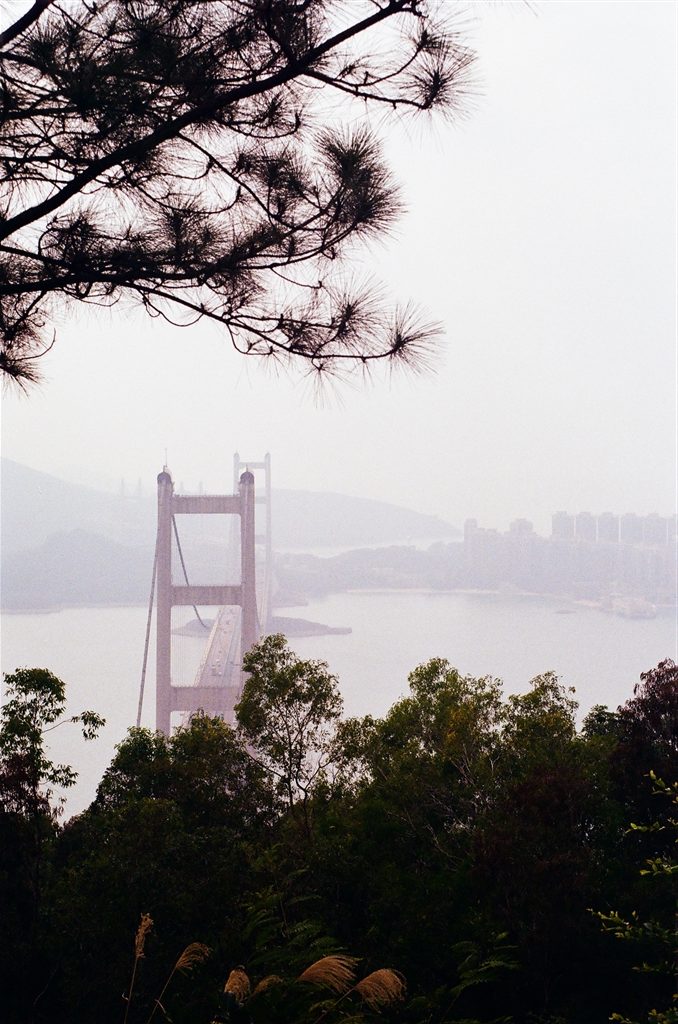
Photo: View of the Tsing Ma Bridge at Pavilion 1
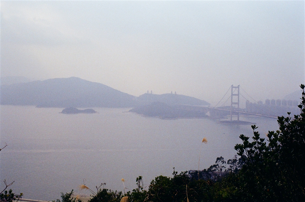
Besides the fact that these views were far from unobstructed, the weather of the day was also not favorable to photo-taking. Despite my best efforts and high hopes, these photos would have to do for this hike.
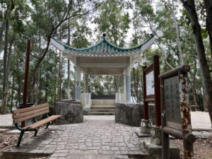
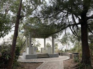
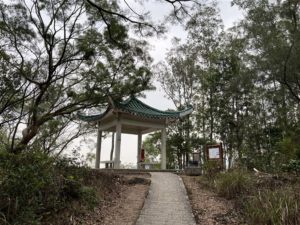
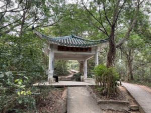
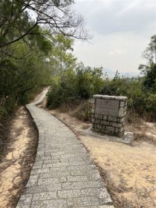
Photos: The pavilions on the trails.
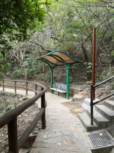
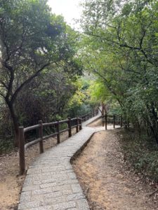
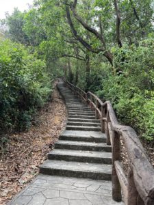
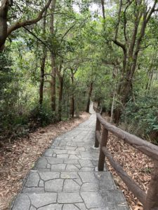
However, I must note that this trail system in Tsing Yi is overall well-kept and very pleasant to hike in. The trails themselves are beautiful with tall pine and fir lining the sides. They are also well-paved throughout. I would say these trails are one of the most beautiful I have seen in Hong Kong. The following are some of the views on the trails.
There were quite a bit of stairs if you are to visit all five pavilions as I did. However, the flights were short each time and the hike was easy throughout.
About Tsing Yi
The name Tsing Yi brings forth the sweet memory of a sea fish that my family used to make often for dinner when I was young. As its name suggests, the fish has green fin (“tsing” in Cantonese refers to a yellowish green color; “yi” in Cantonese means clothes). In fact, this fish might have been a reason why this area of Hong Kong is called Tsing Yi. They lived abundantly once, during the Qing Dynasty, in the waters of Tsing Yi.
Another explanation for Tsing Yi’s name is historical. The area was once a thriving trading port. Early inhabitants visited the Tsing Yi Port to trade textiles. The word “Tsing” is similar to the word “weighing” in Cantonese. And “yi” means clothes. As such, Tsing Yi might have acquired its name meaning “the weighing of clothes,” having roots in the textile trade of ancient times.
The beautiful suspension bridge, Tsing Ma Bridge, acquired its name from the two locations that the bridge connects: Tsing Yi and Ma Wan. It began services in 1997 and provides express throughway to the Hong Kong International Airport in Lantau Island.
Since the 1960s, the island had heavy industries and trading ports due to its favorable location at sea. There were oil depot and shipyards in Tsing Yi. Now, the heavy industries have moved to southern Tsing Yi. The northern quarter of Tsing Yi has developed into residential use.
How to Get There
The closest residential development to the northern entrances of the trails is Cheung Hang Estate. Look up buses that stop at Cheung Hang Estate. I took 42C and it has stops on Liu To Road.
Sources
Historical descriptions on-site.

