Kai Kung Leng
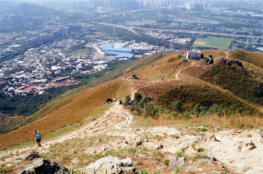
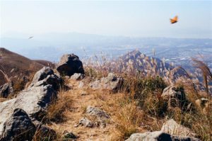
Located within the Lam Tsuen Country Park, Kai Kung Leng prides the highest peak in northwest New Territories after Tai Mo Shan. With its highest peak at 585 meters, the mountain range provides an exceptional opportunity to view the landscape of northern and northwestern New Territories. Embrace wide-open views throughout this hike.
Some History (For a Mountain? Yes!)
Kai Kung Leng, meaning “the rooster mountain range” in Chinese, had another name as Kwai Kok Shan in the ancient records on Hong Kong. “Kwai” refers to the laurel trees that grew abundantly in this mountain range. “Kok,” meaning angles, refers to the two angular mountain tops. In the ancient books, Kwai Kok Shan was the name for the whole mountain range. The taller eastern summit was Tai Lo Tin, and the western lower peak was Kai Kung Shan; together they were known as Kwai Kok Shan.
Tai Lo Tin, on the other hand, is a reference in Taoism. In the Taoist worldview, Tai Lo Tin is a state of being that is fully enveloped by enlightenment. It lies on the outer, most sublime of heavens and immortality.
According to Dit Wah Wong’s wonderful chronicle on this mountain range, descriptions of Kwai Kok Shan appeared mostly in the official records of the Qing Dynasty. This is in contrast with some of the better-known mountain ranges in Hong Kong, such as Lantau, Pui To, or Ma On Shan, all of which appeared in the ancient scrolls of Tang, Song and Ming Dynasties. While the descriptions were brief, entries on Kwai Kok Shan did appear in the gazetteers and records of the Kangxi, Jiaqing, Daoguang, Guangxu Reigns of Qing Dynasty.
The Tang’s of Kam Tin believe that this mountain range is the origin of the clan’s good feng shui, the ancestral dragon that blesses the clan. The good fortunes flow through the rolling ranges to benefit the Tang villages in the low plains.
By now, the name Kwai Kok Shan is no longer in use. However, generally people still refer to Kai Kung Shan and Lo Tin Teng (the peak of Lo Tin) within the Kai Kung Leng ranges.
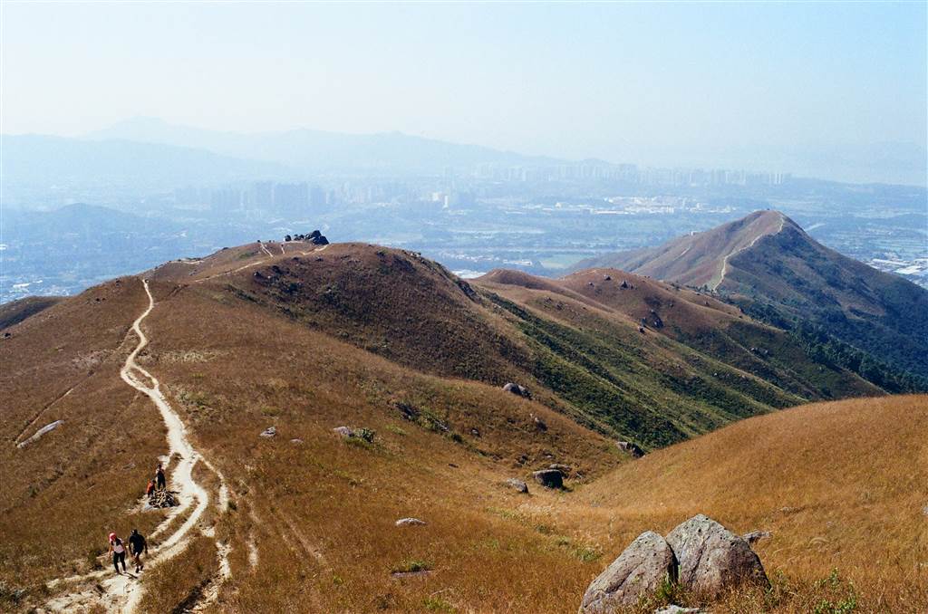
Views, Views and Views!
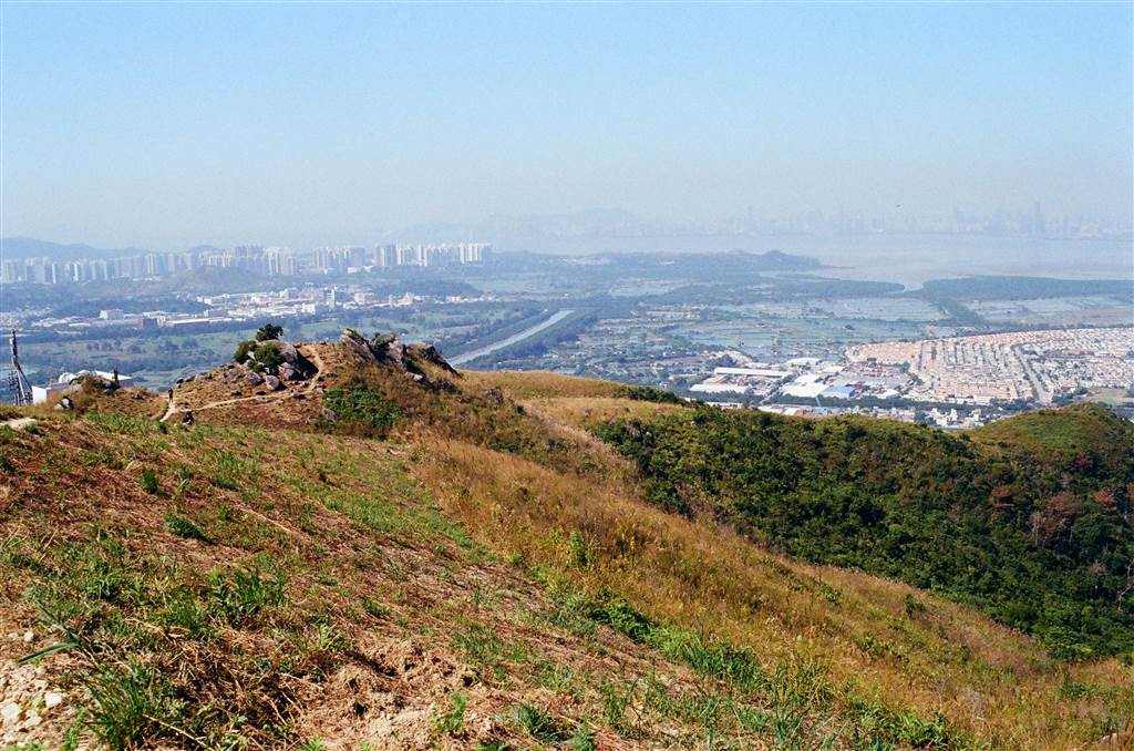
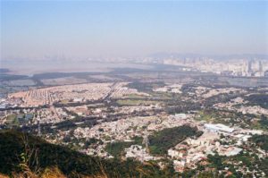
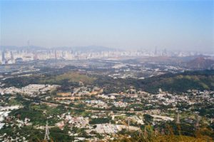
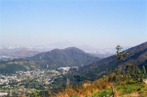
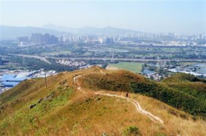
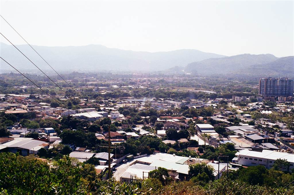
We ascended right away when we reached the entrance of the trail. Even at mid-range we saw all of Kam Tin and Yuen Long in the southwest. It felt like we could reach out and touch those human settlements on our fingertips.
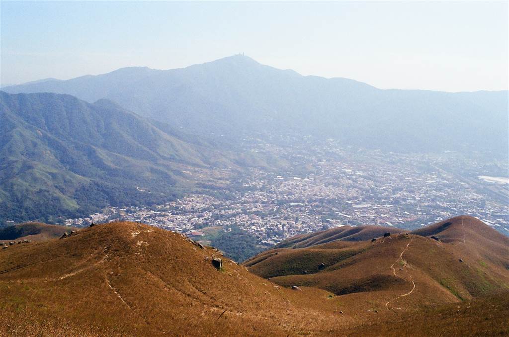
This scenery keeps me grounded in a realistic perspective on Hong Kong. Hong Kong is a well-developed city, heavily populated even in the rural areas, with never-ending human footprints on its terrain. But in the mountains we see the mountain ranges rolling to eternity, a view so grand that the human footprints are dwarfed, perhaps into a humility that reflects human beings’ true position in the created order.
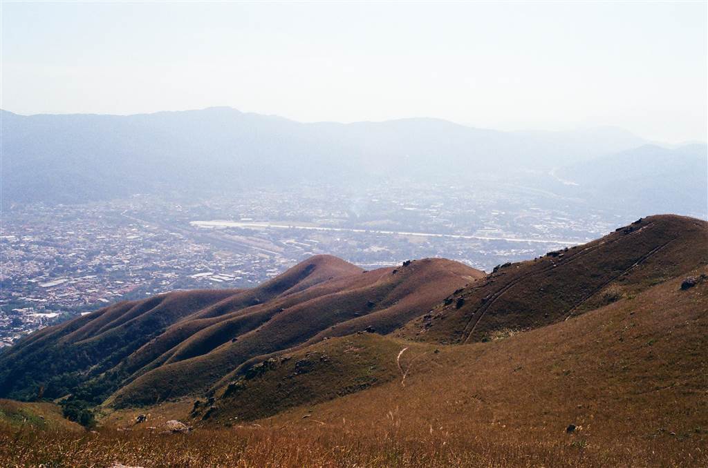
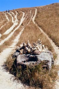
There are two signposts on this trail. The first milestone that you come across indicates that you are at Kai Kung Shan. It took us 1 hour and 15 minutes to reach the first sign post. The pathway is very clear, follow through with the visible tracks.

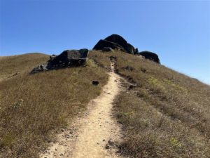
Photo: you will reach the first signpost in 1 hour 15 minutes or less.
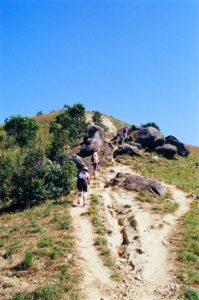
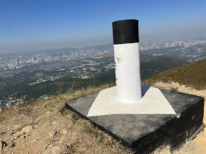
Another 1.5 hours later, we reached the second signpost, and this should properly be Tai Lo Tin, the eastern peak of Kai Kung Leng. The highest tip, Lo Tin Teng, is just about ten minutes of more climbing, after passing Tai Lo Tin.
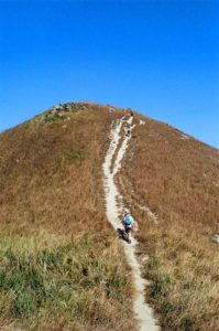
Photos: When you see a significant outcrop of rocks, it indicates that you are close to Tai Lo Tin. We took a break at the rocks and had our sandwiches. Middle photo: at the second signpost, indicating that you are at Tai Lo Tin. Photo on right: this is the view of Lo Tin Teng, at 585 meters in height. It is the highest peak within this hike and only about ten minutes from the second signpost.
Photos: a panorama view near the highest point of Kai Kung Leng.
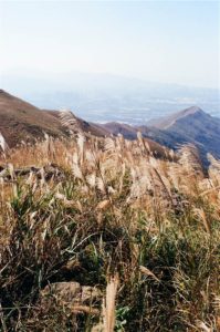
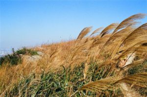
After this highest point at 585 meters, you will begin the descent. You will come across a beautiful hillside with the photogenic Miscanthus field. The Miscanthus photos have been Hong Kong people’s favorite in recent years.
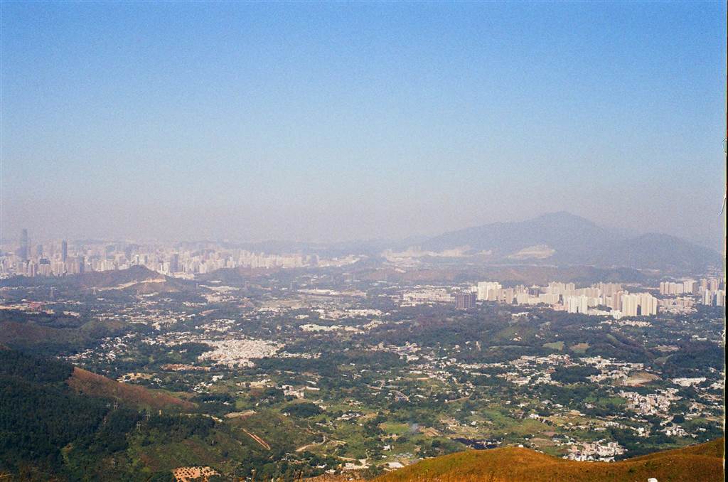
After that point, you will come across views of the Fanling and Sheung Shui areas, with the northern border (the Shenzhen River) in clear view.
Reminders
I would say this hike at Kai Kung Leng tops one of the toughest hikes I have done so far. Quite a number of experienced hikers have ranked it 4 stars out of 5.
The mountain range enables exceptional views because there is no vegetation throughout the hike. The small trees that we saw here and there would not have provided the shades for cooling in case someone comes down with a heat stroke. Therefore, I advise against taking this trail during summertime.
We did this trail in late November and I would say even at this season we each needed more than 1.5 litres of water. I would play safe and prepare at least 2 litres for each person.
The hike will take at least half a day, and experienced hikers have said they needed 4.5 hours. It took us 6 long hours because the descent is very difficult (I was injured, see below). I think it is prudent to allow for at least 5 hours for this hike.
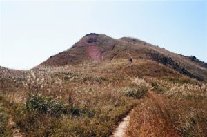
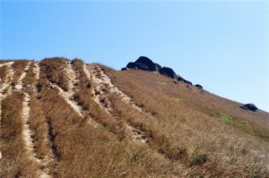
This mountain has attracted the mountain motorcycling enthusiasts probably due to its unobstructed ranges. As a result, strictly speaking, the paths are not hiking trails. They are rather the tire tracks from mountain motorcycling, and you can probably tell from the photographs. I would say that, especially on descent, the tracks are not well-trodden. There was no paved stairs down.
We took 6 hours because I twisted both of my knees when I was coming down the mountain. Large sections of the paths are smooth-surfaced and they are very steep. We descended sideways for most of the paths down. At one point I had to slide down on my bum for 20 meters or so because my sprained knee would not hold up to a proper walk down.
Do not go alone, and do not go during rainy days. The descent would be very dangerous on rainy days. Do bring one or two hiking poles with you. Gloves would be useful as well.
Going from the way of Fung Kat Heung, there is only one path until you descend the mountains. Because I was injured, I could not take a photo of the one crossroads where you could choose to exit on Fan Kam Road by the Lotus Cafe or via the Tsiu Keng Village. The good news is, Google Map worked throughout this hike as we all had regular reception on our cell phones. Watch out for this crossroads, the path on the left leads you to Tsiu Keng Village, where you can take a green top minibus back to Fan Kam Road and Sheung Shui town. The path on your right will lead you to the Lotus Café on Fan Kam Road.
How to Get There
I urge hikers to only begin the hike at Fung Kat Heung (rather than from the Tsiu Keng Village). There are some sections near the Fung Kat Heung ranges that would have been too steep and slippery for descent if approached from the Tsiu Keng entrance.
At Yuen Long Station Exit G1, head down to the transportation interchange to find green top minibus Route 603 to Fung Kat Heung. The driver will either drop you off at the mini bus stop at Fung Kat Heung or maybe even right at the entrance to Kai Kung Leng’s trail. See below for this sign pointing the way to Kai Kung Leng, along Fung Kat Heung Road.
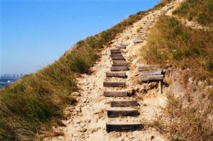
Photos: Left shows minibus 603 to drop off at Fung Kat Heung. Right: This is the set of stairs up Kai Kung Leng, on Fung Kat Heung Road, note the red paint saying Kai Kung Leng in Chinese on the lightpole.
To leave, from Tsiu King Village, green top minibus Route 57K runs between the village and Sheung Shui Station.
On Fan Kam Road, bus Route 77k runs between Sheung Shui and Kam Sheung Road MTR stations. There is also a red top minibus that runs between Sheung Shui and Yuen Long on that road.
Sources
Dit Wah Wong, A Chronicle of Hong Kong’s Mountain Ranges, (2017, Chin).
