Lost in the Beauty of Tai Mo Shan Country Park

While I intend my hiking entries to be informational, I caution readers on this one. It is not meant to be a guide, but rather an account of being lost in midst of the many diverging mountainous paths in Tai Mo Shan, the highest mountain in Hong Kong.
The Original Plan
The original plan for the day was to climb Tai Mo Shan via the MacLehose Trail Section 8. I chose one of the coldest days in this winter to do this, because I wanted to experience Tai Mo Shan in its winter.
As usual, I took the Pineapple Dam Nature Trail and spent an hour reaching the Lead Mine Pass. It was all good until I headed up toward Maclehose Trail Section 8. There is a clear entry into MacLehose Trail Section 8 at Lead Mine Pass.
Lost in Midst of Beautiful Mountainous Paths
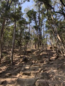
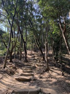
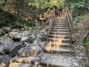
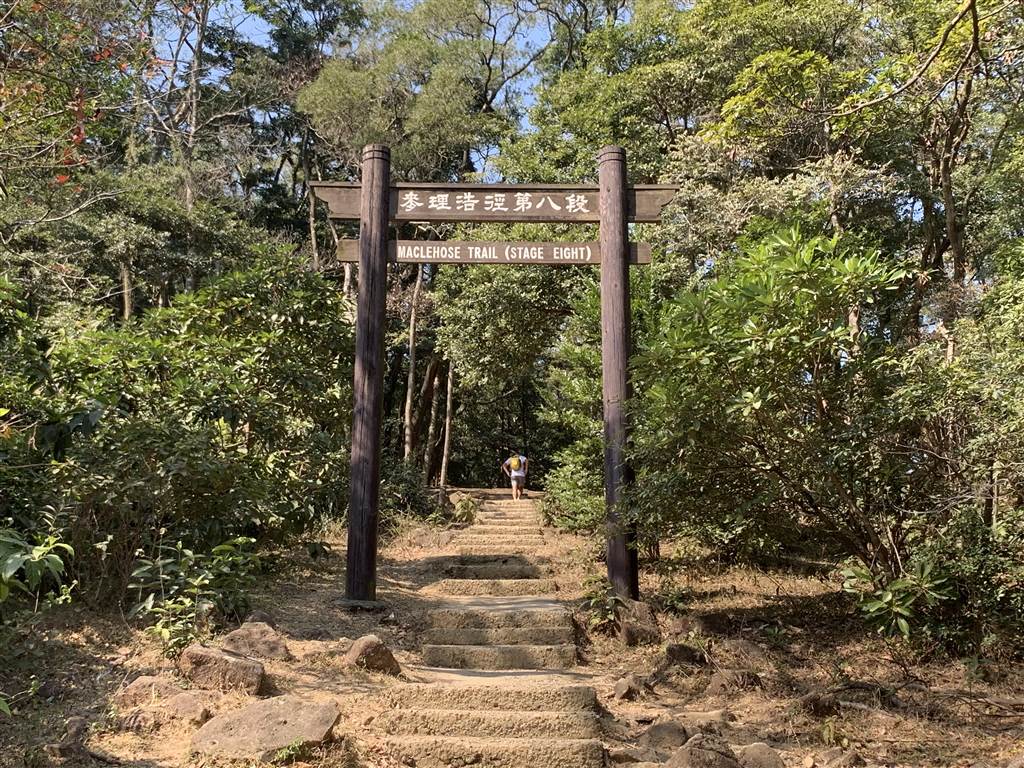
Yet after ten minutes up on some intense stairs, I made the wrong turn. I saw this sign and followed the way to Chuen Lung. Apparently, at the top of this set of stairs, one has to make a right to arrive at MacLehose Trail Section 8. Without a clear sign, I followed the path purportedly going to Chuen Lung on the left.
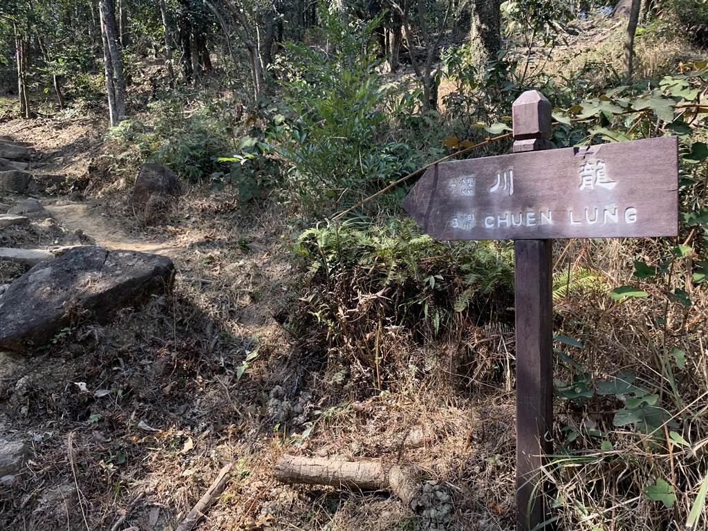
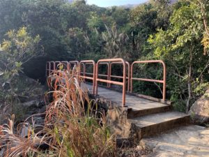
Photos: Above two pictures shows the way up to enter Maclehose Trail Section 8. Below the sign points to the way to Chuen Lun toward the left (west). But the right way to Maclehose Trail Section 8 is on the right.
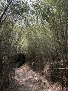
It was about an hour later that I realized I was walking on the mid-range of Tai Mo Shan. I was not climbing up to its top. I figured that I would just take it as it comes, rather than going back. There were generous shades throughout this trail and it was actually very pleasant.
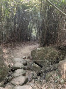
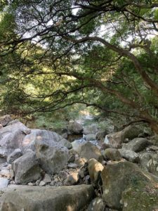
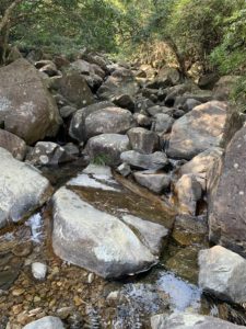
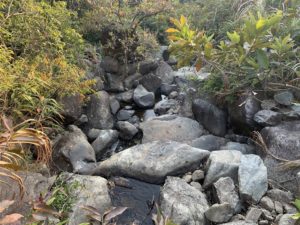
About another two, three hours later, I still have not made it back to civilization as I had planned. I have crossed the Tai Shing Stream, one of Hong Kong’s largest streams. One characteristic of the Tai Shing Stream is its large rocks.
Google Map told me to follow signs for the Shing Mun Catchwater.
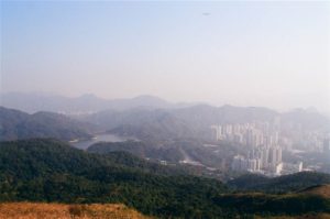
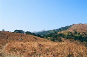
I ended up here on a high plateau looking onto all of western New Territories. This view made it all worthwhile for me. The top of Tai Mo Shan was in sight, but I would have no time to climb up because the sun would set in an hour or so.
I then descended upon a serious set of stairs down for about 15 minutes. It was so steep that I slipped a few times.
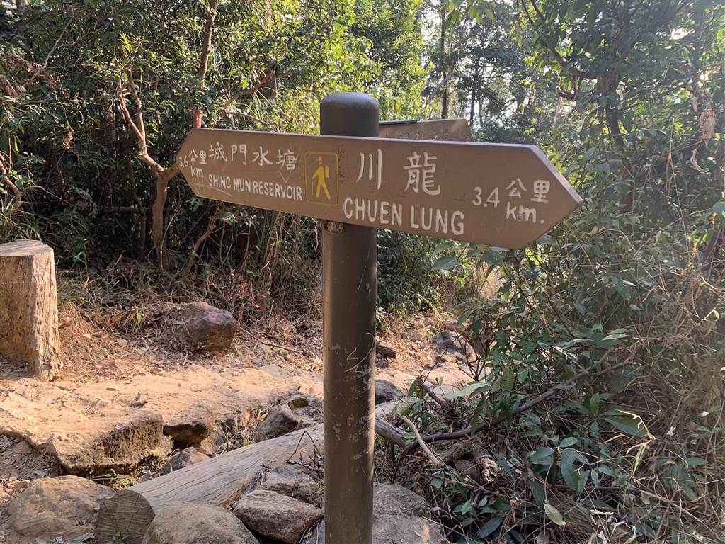
Photo: sign at the end of the steep stairs down from the plateau, and I headed over to the Chuen Lung direction via the Lung Mun Country Trail.
The Lung Mun Country Trail
The final stretch of the hiking was the Lung Mun Country Trail. I walked for about another hour on this trail.
I then came upon the paved road. A group of fellow hikers showed me the way back to Chuen Lung.
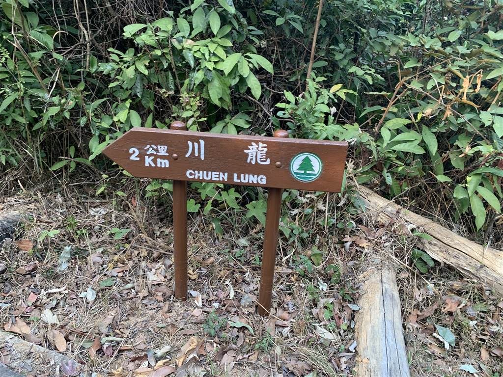
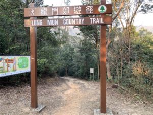
Photo: Sign at the beginning of the Lung Mun Country Trail showing the way to Chuen Lung. I made a right on the paved road for another 15-20 minutes and I was back in civilization.
What a day! Statistics: 6.5 hours of walking, 29,677 steps, 159 floors.
Way to the High Plateau
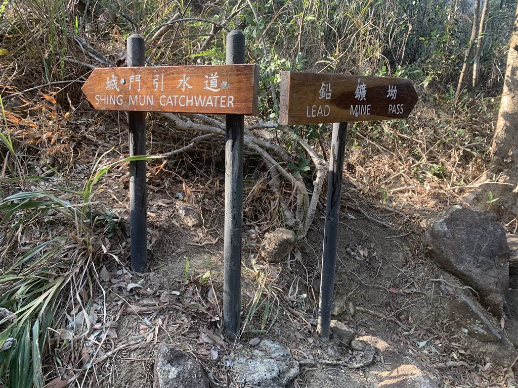
Perhaps I can share some tips on how one can reach this high plateau with exceptional views. Going from Lead Mine Pass is a very long hike. Therefore one can first start at Lung Mun Country Trail by walking 20 minutes from Chuen Lung. About 5, 10 minutes after crossing the third bridge, you will come to a crossroad with this following signage. The Lung Mun Country Trail will continue straight all the way to the Shing Mun Reservoir. If you turn right you will track the Shing Mun Catchwater. But look to your left for a long set of steps up. Take this path up. It will eventually lead you to the Lead Mine Pass.
Photo: at the first crossroad on Lung Mun Country Trail, you will see this sign. The way up the plateau is on your left.
This section is very steep and you might want to use a hiking cane. Once climbing up this set of stairs, you will reach the plateau. To get back to civilization, walk back down and either go back the way of Chuen Lung or follow this sign back at the crossroads for Shing Mun Reservoir.
Some Tips
Finally, I would like to once again caution readers about hiking in Hong Kong. I have planned the original hike with an expectation of 3-4 hours of walking. But thankfully I prepared plenty of water and some warming foods for myself. As such, getting lost in what turned out to be a 6.5 hours hike was not a stressful event. I also started rather early in the day, and so an additional two to three hours would still be within the daylight. If not for having well-prepared for contingencies, the experience would have been very stressful.
In this part of the New Territories, many of the trails are not endorsed by the government. That means the government has not established clear road signs, and the trails do not have proper names. As such, you can’t count on fellow hikers to show you the way, because they all have different understanding of what these trails are called. They could have told you very different stories of how the trail system takes you.
It was out of pure fortune that my phone had reception throughout. But you also can’t count on that in many of the rural areas in Hong Kong. I relied on Google Map to take me back to Chuen Lung. Although it all turned out OK in the end, I have gotten lost with Google Map in the rural areas many times before. This time, I was just lucky. Whew.

