The Sound of Flowing Water at Lau Shui Heung
Spring is here in Hong Kong and I seize every chance I can to hike, for when summer comes it will be too hot to do so. This day I chose the Lau Shui Heung Country Trail in Fanling, in northern New Territories.
Lau Shui Heung is a poetic name. In Chinese it means the sound of flowing water.
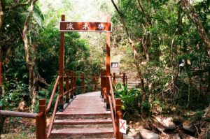
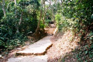
Once arriving at the Lau Shui Heung Reservoir, I saw two openings of the trail. I knew then that I was at the starting and ending point of the loop. The opening on the left showed a massive set of stairs up, so naturally I picked the one on the right.
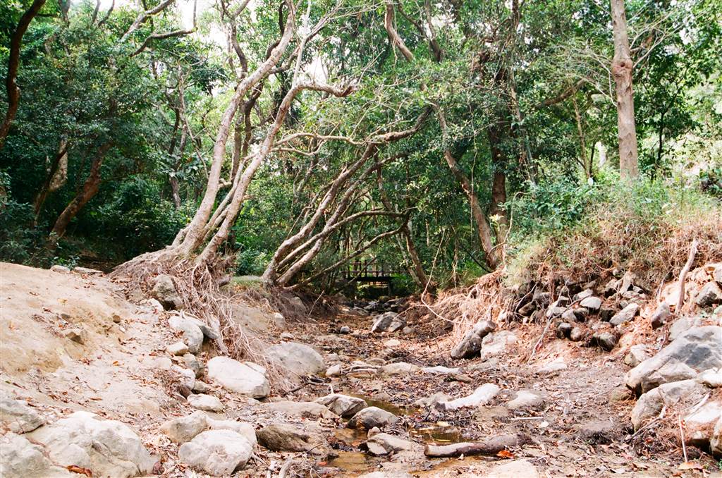
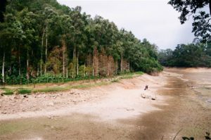
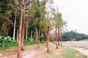
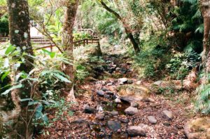
Readers would, as I did, expect lots of water scenes on the trail, and normally it was a scenery of waters. However, after a rather dry winter, the Lau Shui Heung Reservoir dried up completely. As in, people could walk upon the reservoir itself, with no mud on the shoes.

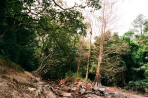
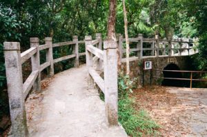
The streams that would have made the music of water was flowing at a shallow ebb. Yet it would not take much imagination to picture the beauty of which it was capable. I passed by a few bridges.
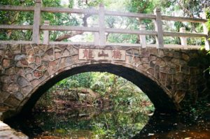
The Lung Shan Bridge (Dragon Mountain Bridge) was once named Cheuk Shan Bridge (Bird Mountain Bridge). Villagers renamed it as Dragon Mountain for good luck.
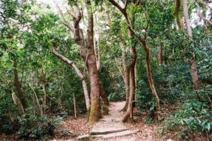
This area was full of shades, the lush foliage was a pleasing sight.
After about a 45-minute stroll on this part of the trail, I then arrived at the crossroads. The signs showed Cloudy Hill, and to complete the loop of Lau Shui Heung Country Trail, one would have to pick Cloudy Hill then Kat Tsai Shan Au. Kat Tsai Shan in Chinese means Mandarin Orange Mountain. It acquired this name because there used to be an abundance of mandarin oranges in this area. Production ceased however, after WWII. While there were once villages in this area, it is now deserted.
Before I headed off, the two experienced hikers that showed me the way said, “are you sure about that? It is very steep up that trail.”
I was sure about that when I started, but as I hiked up the very steep incline I did wonder how I would find the strength to complete it.
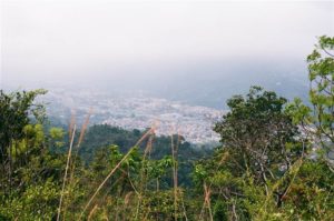
This part of the trail was steep, and a never-ending meander. This would be the reason why Kat Tsai Shan was once a military lookout. Its height enabled views of the city as I walked up. Despite being rigorous, the road was concrete all the way up, and that was also for military purpose, in allowing supply logistics. As such, it was easy on the feet.
Perhaps after about another 45 minutes, I made it to the Gazebo.
From then on, it was an easy descent on steps for another hour or so. I sprained my ankle on the way, but thankfully I could complete the trail. On the way down there was another detour to the Hok Tau Reservoir. Both the Lau Shui Heung Reservoir and the Hok Tau Reservoir are fresh water reserves for the irrigation of nearby fields in northern New Territories. I decided against visiting the Hok Tau Reservoir, for I did not think my ankle would hold up.
I finally made it back to the starting point of the trail. If I were to do this trail again, I probably would still opt for the Kat Tsai Shan incline. To go on the other direction would be 45 minutes of upward steps and it would be hard on the knees.