The Kai Shan of Yuen Long
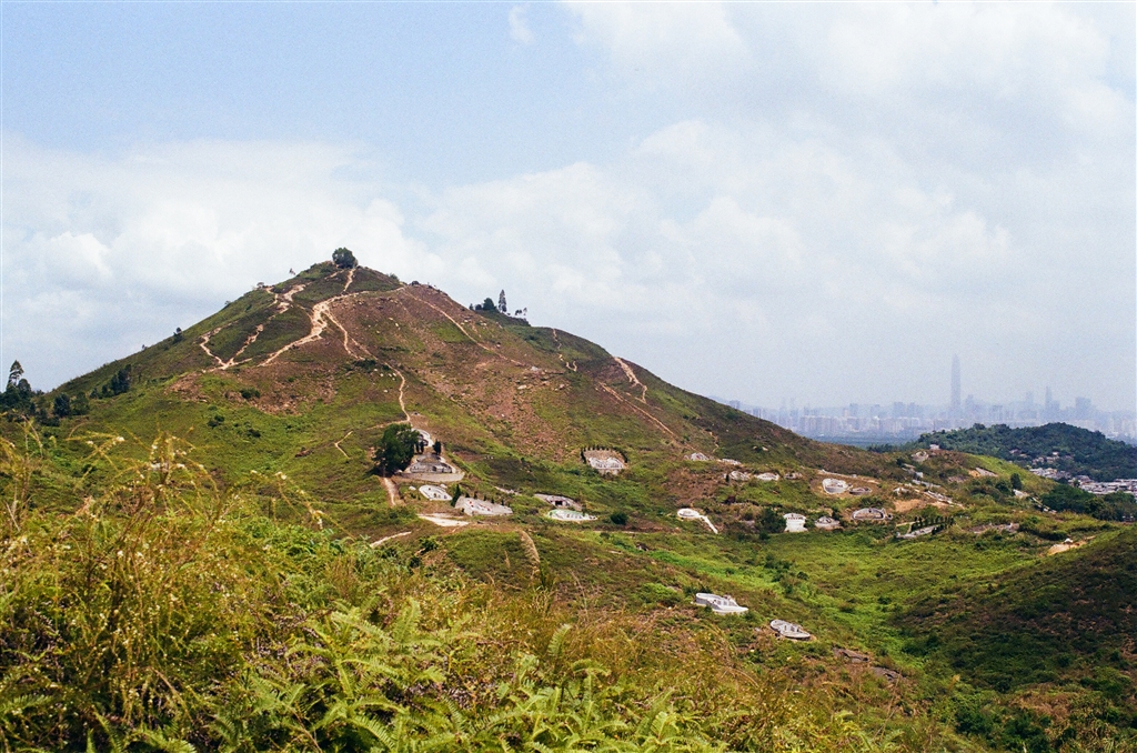
Kai Shan is a small hill in Yuen Long with a 360 view of the cities and hilly terrain of both Hong Kong and China. At a height of 120 metres, the walk is suitable for beginners. The temperature has been rising in this late spring in Hong Kong. Therefore even a climb of 120 metres proved to be a bit difficult for me. It was nonetheless a short and manageable hike.
The Trail
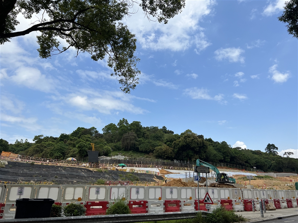
The most accessible entrance to this trail is perhaps on Long Ping Road. From the Long Ping MTR Station, I headed toward Exit B and walked through Long Ping Estate to arrive at Long Ping Road. I crossed the road, and soon after passing the construction site I saw the entrance to the trail on my left.
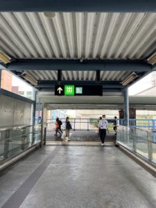

Photos: the way to Kai Shan. At Exit B, turn right on the overpass, then go straight to walk through the Long Ping Estate.
Second photo from the left: The path to Wang Chau on Long Ping Road. The two photos on the right shows views on the way.
There is a construction site on Long Ping Road (below photo). The path to Wang Chau is next to the construction site.
Head up the stairs, and keep on going. You will first climb a bit, then descend onto a village road. Then you will ascend again to arrive at Wang Chau.
Wang Chau’s name suggests an island scenery, for “Chau” in Cantonese means island. Some reports suggest that Wang Chau acquired its name due to its geography a few hundred years ago. The hill was surrounded by swamps then. As such it looked like an island amidst surrounding waters. The small hill is at 80 metres high.
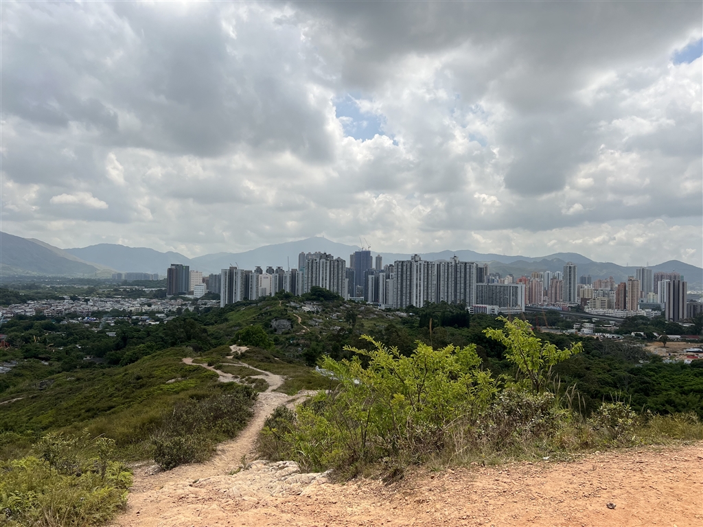
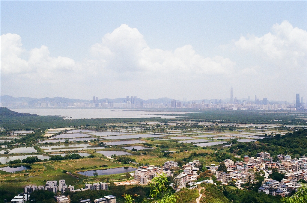
Photo: View of Yuen Long at Wang Chau
I breathed in the fresh air and the wonderful views there at Wang Chau. On the way, I saw some pretty interesting human footprints, especially people who planted colorful flowers at various spots.

Photo: At Wang Chau, you will see Kai Shan on your right, follow the path through the nice flowers, the path to Kai Shan is clear from that point.
Kai Shan is in view throughout this first part of the trail at Wang Chau. Once you have reached the peak at Wang Chau, Kai Shan is on your right (northward) and you can follow the path that will clearly lead your way up to the peak.
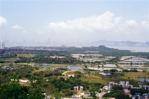
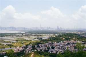
The View
The peak of Kai Shan presents some exceptional views of both Yuen Long and Shenzhen. Looking on the north, there are the fish ponds of Yuen Long set against the skyline of Shenzhen. It is an interesting view, rivaling that of Ma Tso Lung.
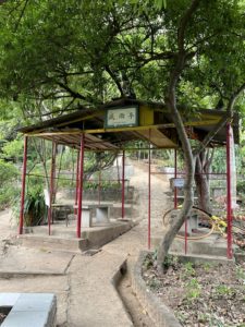
The trail becomes wide open, with very little shade, between Wang Chau and Kai Shan. However, once you are at the peak of Kai Shan, there are shaded areas with chairs for you to rest.
Kai Shan is also a perfect location for viewing sunset.
To return, I took the same path as I came.
A Pleasant Human Touch
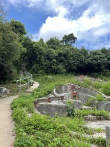
At the peak of Kai Shan lies a very unusual feature. An artist has put up quite a few rock paintings there. Please look out for those as you tour the peak.
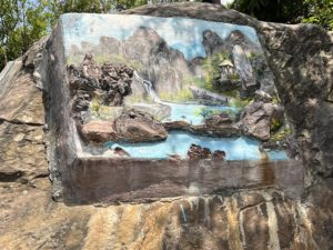
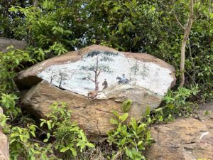
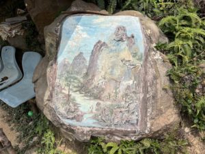
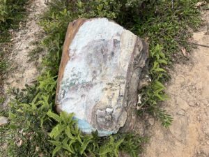
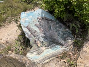
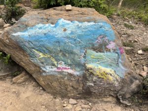
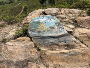
On this trail I met a man who showed me around. He lives in Yuen Long and comes to this hill very often. Given that someone cared to paint the rocks here, I have a feeling that it is a neighborhood trail, where nearby residents do their morning exercise. The Wu Tip Shan of Fanling is similar in this sense.
Reminder
The weather has been sunny for a good few weeks in April, as a result it has become notably hot. Be prepared with plenty of water with you on this hike. The section between Wang Chau and Kai Shan have little shade, although it is a short section. Once up the top of Kai Shan there are a few shaded spots with chairs for resting.

Photo: the sign post at the peak of Kai Shan.
How to Get There
The closest MTR station to the trail is Long Ping Station.
Sources
From the Long Ping Station to Kai Shan, A View of the Fishponds of Nam Sang Wai (Chin), hongkong01.com, republished entry from timhiking.com with permission.